Best Easy Day Hikes Series
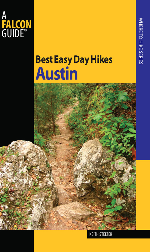
Best Easy Day Hikes Austin
Keith Stelter
Copyright 2009 by Morris Book Publishing, LLC
ALL RIGHTS RESERVED. No part of this book may be reproduced or transmitted in any form by any means, electronic or mechanical, including photocopying and recording, or by any information storage and retrieval system, except as may be expressly permitted in writing from the publisher. Requests for permission should be addressed to Globe Pequot Press, Attn: Rights and Permissions Department, P.O. Box 480, Guilford, CT 06437.
Falcon, FalconGuides, and Outfit Your Mind are registered trademarks of Morris Book Publishing, LLC.
TOPO! Explorer software and SuperQuad source maps courtesy of National Geographic Maps. For information about TOPO! Explorer, TOPO!, and Nat Geo Maps products, go to www.topo.com or www.natgeomaps.com.
Maps: DesignMaps Inc. Morris Book Publishing, LLC
Library of Congress Cataloging-in-Publication Data
Stelter, Keith.
Best easy day hikes, Austin / Keith Stelter.
p. cm. (Best easy day hikes series)
ISBN 978-1-4930-0487-4
1. HikingTexasAustinGuidebooks. 2. Austin (Tex.)Guidebooks. I. Title.
GV199.42.T492A876 2009
917.64'2520464dc22
2009022530
The author and Globe Pequot Press assume no liability for accidents happening to, or injuries sustained by, readers who engage in the activities described in this book.
Contents
The Hikes
Acknowledgments
Many people helped make this book possible, and a few went beyond the call of duty. Thanks to Mark, Scott, and Kay Stelter for their encouragement, ideas, and proofreading. Karen Vasquez and Rick and Samantha Finch went hiking with me.
Thanks also to Chris Holmes, Texas Parks & Wildlife Department (TPWD) regional interpretive specialist, State Parks Region V, for working with me on new trails and the development of Texas Parks & Wildlife trail maps. Bill Beach, TPWD assistant office manager for Guadalupe River State Park, provided me with all kinds of information. Lynn Kuenstler, peace officer at Enchanted Rock State Natural Area, hiked with me and explained vernal pools.
There were many other folks at TPWD who were very helpful. At McKinney Roughs Nature Park, part of the Lower Colorado River Authority (LCRA) park system, site manager Mike McCracken and administrative associate Karen Gardner are due thanks for their assistance. Thanks to Susan Blackledge for help on the Berry Springs Park information. Allison Hardy, GIS technician with the City of Austin Parks and Recreation Department, and Dianne Hart, GIS specialist for San Antonio Natural Areas, helped with making trail maps.
There were dozens of other people who helped with information about history, geology, flora and fauna, and hikes they considered the best. I appreciate their work and thank all of them.
Introduction
The purpose of this book is to offer more than the typical hiking guide, in which most trail descriptions are generally point-to-point guides, getting you from the trailhead to the trails end. This book provides details about flora, fauna, history, and geology to appeal to a broad spectrum of hikers, including families with young children. I spent nine months researching, talking with rangers and other folks, hiking and sometimes rehiking a trail, studying the area, and looking for interesting facts, scenery, history, geology, and topography. I talked with a variety of hikers, asking them what they wanted a hike to cover and what made a best hike. I had the best overall hiking region in Texas to choose fromcentral Texas, which includes the Edwards Plateau and the Hill Country.
I used the following criteria to come up with the best hikes included in this guide: accessibility, fun, exercise, family experience, scenery, history, rivers and lakes, experience of the hiker, moderate length (approximately 2 to 4 miles), dog friendliness, and wheelchair accessibility. Loops and preferably interconnecting loop trails were selected where possible, so a best hike within a park could be fashioned by combining the best of several trails.
Determining the best hikes in the area was a combination of personal judgment about whom the hike would appeal to and information from park staff and other hikers. Four of my favorite hikes are in the following parks: Wild Basin Wilderness, McKinney Roughs, Bastrop State Park, and Southeast Metro.
Trails are no longer the exclusive domain of the solitude-loving wilderness seeker or the dedicated fitness enthusiast. Whether providing recreational and educational opportunities, encouraging well-being, exploring history and geology, or bringing together people of all ages, hiking has become an important factor in many peoples lives. I hope that at least some of these hikes will become your best hikes and that this book will be informative and interesting reading, as well as an excellent guide.
Austin Weather
The Austin climate is subtropical, with an average low temperature in January of 40F and an average high in August of 96F, followed closely by July at 95F. The average yearly rainfall is 32 inches. The wettest month is May, averaging 5 inches. The driest month is January, with 1.9 inches of rain. The city generally has mild temperatures, with 300 days of sunshine a year.
State Parks Pass
For the best deal around, take advantage of the State Parks Pass. Instead of requiring you to pay on a per person/per visit basis, the pass provides entry to all ninety-three state parks for the member and all occupants of his or her vehicle. Its good for one year from time of purchase. It is available at most state parks and historic sites, as well as through the Customer Service Center in Austin (512-389-8900).
Flora and Fauna
The hiking trails around Austin, including portions of the Texas Hill Country, have a biodiversity hard to equal. The area merges four major ecoregionsthe post oak savanna, the blackland prairie, the south Texas plains, and the Edwards Plateau. Also, the Central Flyway, one of four major bird migration routes in the United States, is directly over the area. More than 400 of the 600 bird species recorded in the state have been seen in this region.
Most mammals are active during the night, so seeing them can be difficult. Look for their tracks around the trails and near streams or lakes. The Texas Parks & Wildlife Department has developed a series of nature trails, including the Great Texas Birding TrailCentral Coast and the Heart of Texas Wildlife TrailEast. Maps and location markers at the various sites reference areas where wildlife can be seen.
Some trees and plants native to east Texasthe Lost Pines in Bastrop State Park, for examplemeet those of west Texas in transitional zones. Rivers and creeks are lined with bald cypress, black willow, hackberry, sycamore, cottonwood, and pecan. The upland areas contain a mix of deciduous and evergreen trees, including Ashe juniper, live oak, red oak, bigtooth maple, and Texas persimmon.
In spring and early summer, when wildflowers set the roadsides ablaze with color, driving to a hiking location can be a visual feast. Commonly seen are coreopsis (yellow), firewheels (red), phlox, Mexican hats, daisies, winecups (purple), yellow primrose, bluestem grass, and prickly pear cactus. The Texas bluebonnet, the state flower, is at its peak in late March and early April.


