Table of Contents
Guide

B eth Alesse is a graphic artist, editor, and author. She holds degrees in art and education and has a background in graphic arts, linguistics, and visual and audio digital media. Her curated image collections have appeared in media and books, some of which she has written.
Copyright 2019 by Amherst Media, Inc.
All rights reserved.
All photographs by NASA unless otherwise noted.
Published by:
Amherst Media, Inc., P.O. Box 538, Buffalo, N.Y. 14213
www.AmherstMedia.com
Publisher: Craig Alesse
Senior Editor/Production Manager: Michelle Perkins
Editors: Barbara A. Lynch-Johnt and Beth Alesse
Acquisitions Editor: Harvey Goldstein
Associate Publisher: Katie Kiss
Editorial Assistance from: Carey Miller, Ray Bakos, Jen Sexton-Riley, Rebecca Rudell
Business Manager: Sarah Loder
Marketing Associate: Tonya Flickinger
ISBN-13: 978-1-68203-317-3
Library of Congress Control Number: 2017949335
10 9 8 7 6 5 4 3 2 1
No part of this publication may be reproduced, stored, or transmitted in any form or by any means, electronic, mechanical, photocopied, recorded or otherwise, without prior written consent from the publisher.
Notice of Disclaimer: The information contained in this book is based on the authors experience and opinions. The author and publisher will not be held liable for the use or misuse of the information in this book.

www.facebook.com/AmherstMediaInc
www.youtube.com/AmherstMedia
www.twitter.com/AmherstMedia
AUTHOR A BOOK WITH AMHERST MEDIA
Are you an accomplished photographer with devoted fans? Consider authoring a book with us and share your quality images and wisdom with your fans. Its a great way to build your business and brand through a high-quality, full-color printed book sold worldwide. Our experienced team makes it easy and rewarding for each book soldno cost to you. E-mail today
Contents
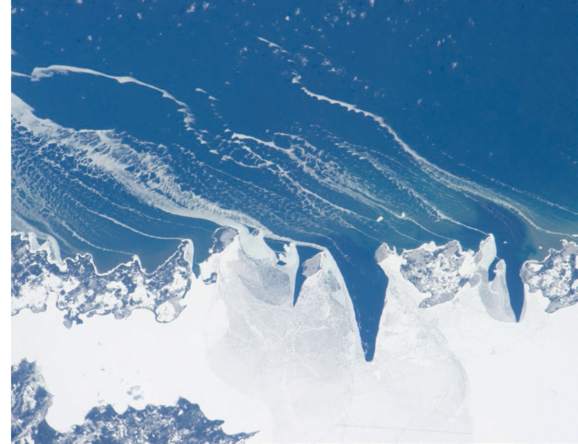
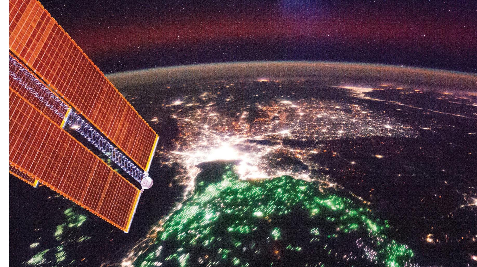
T his book, which is part of a trilogy: The Earth, The Sun, and The Moon, is full of beautiful and awe-inspiring images. Some are taken by astronauts, and some are made from satellite data. Many are recognizable, often looking like the maps that have been drawn of the same areas. Other images appear like abstract paintings with colors and textures that show the grandeur of the surface. They offer us a new vantage point, a perspective that is relatively new to humans, of the places where we live, of our home planet Earth. Whether recognizable or not, the artistic and technical hands that have created these images have an eye for design and aesthetics. These images are a joy and an inspiration. They provide access to exploration and understanding of Earth.
The National Aeronautics and Space Administration (NASA) and its international communities share these Earth images with everyone, and the data collected, with the world. Imaging techniques, and data from satellite instruments are continually being refined and updated. It is used worldwide to improve crops, fight fires, aid in emergency response and disaster relief, such as landslides and floods, predict weather, track drought conditions, monitor snow coverage, and identify climate variances.
As the editor/curator, I have tried to give image credit as requested by the websites where each image was acquired. Similar images were available from different websites with variations in credits provided. If I have left anyone out, please contact me and corrections will be made in future editions. Also, if you would like to explain your imaging process, feel free to reach out. For those whose images were not included, I would like to hear from you, tooindeed, choices were difficult to make.
Images and data collection are advancing, fostering new and significant discoveries about our Earth. These will be epoch-making discoveries that will enlighten the caretakers of our planet. Enjoy this collection of amazing images of Earth.
Beth Alesse
I n 1609, Italian scientist Galileo Galilei used the newly invented telescope to view the night sky. Galileo viewed the moon, planets, stars, and beyond. His observations conclusively changed humankinds grasp of the universe. Nearly four centuries later, NASA and its associates have turned the table and are now viewing Earth from space. The images from cameras, and the data from satellite instruments, are changing our understanding of the Earth.
This image of the Earth (Bottom) was taken by the crew of the Apollo 11 during their outbound trip from the Earth to the Moon. The image below was taken on the same mission on its homeward journey.
Astronauts Neil A. Armstrong, Michael Collins, and Edwin E. Aldrin Jr., were on board the Apollo 11 spacecraft with the famed Hasselblad camera. Most of these early images were taken with the Hasselblad camera using film and a 70mm lens.
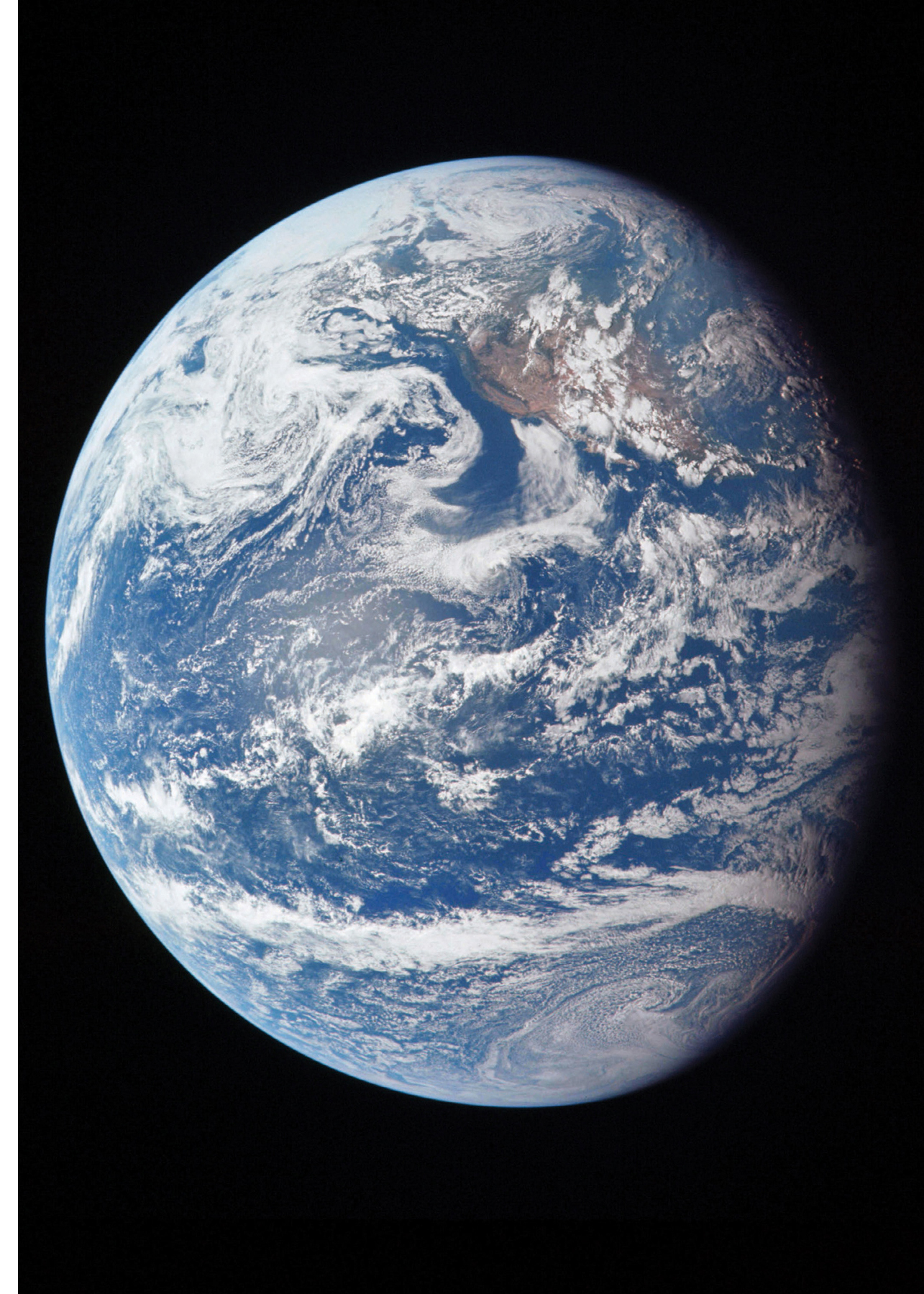
Image credit: NASA
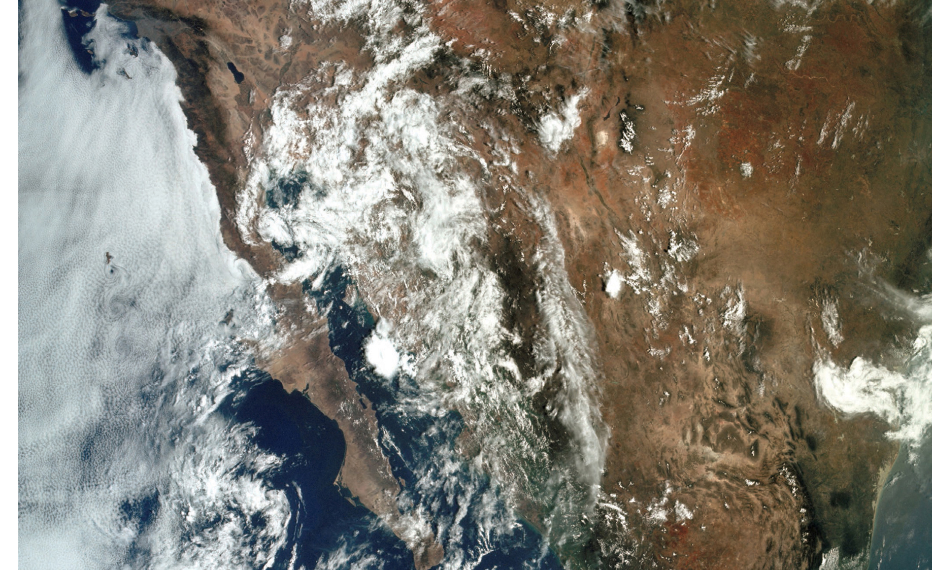
Image credit: NASA
The first American to walk in space was Edward H White II in 1965, on the Gemini 4 mission. The device that he has in his right hand is not a camera but a Hand Held Self Maneuvering Unit (HHSMU). The unit helped him move about in the weightlessness of space. The 23-foot tether line anchored him to the Gemini spacecraft.
Astronaut James McDivitt was inside monitoring the space walk and communications. McDivitt was also responsible for taking amazing, well-shared, and historic photographs of the walk.
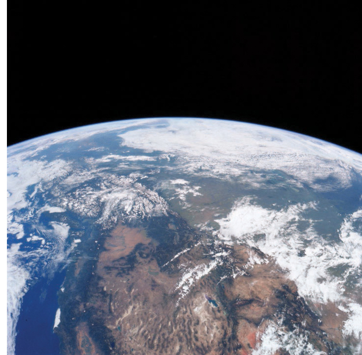
Image credit: NASA
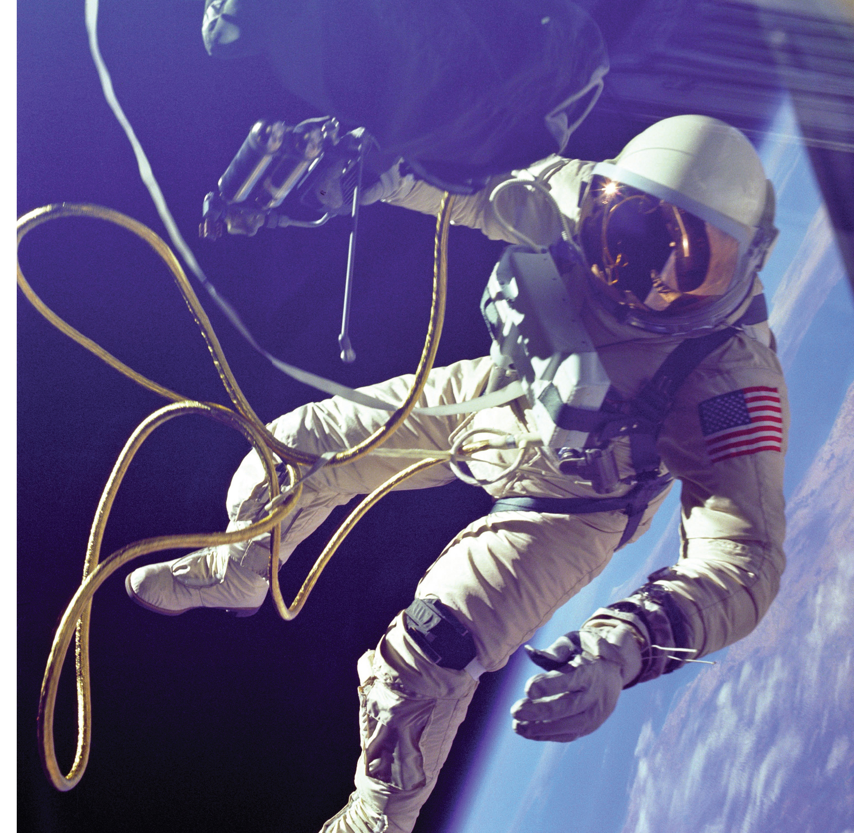
Image credit: NASA
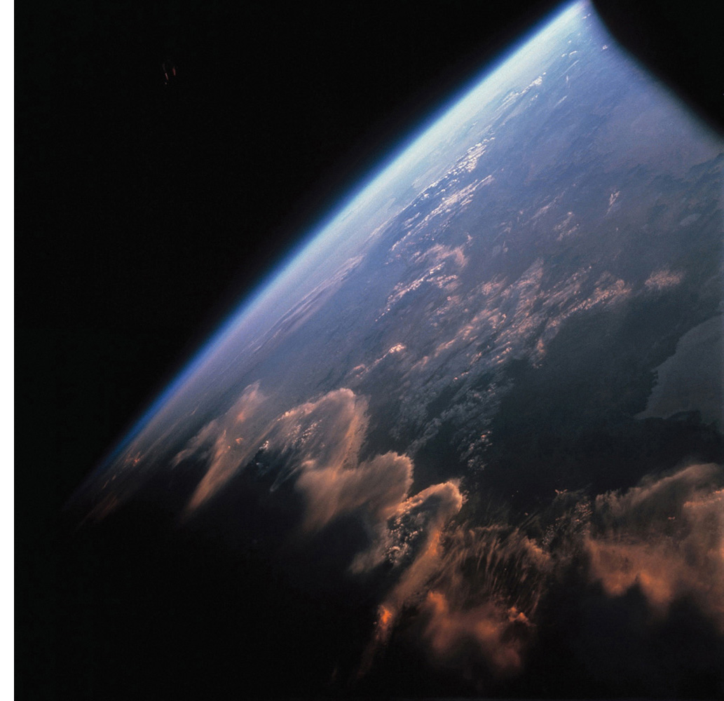
Image credit: NASA
This image of the Andes Mountains with scalloped waves of clouds, was taken from the Gemini 7 spacecraft in 1965.
The Earths terminator can be seen on the left where there is a dividing line between the light and dark on the planet, or in other words, the line between night and day.
Next page

