CASCADE ALPINE GUIDE
CLIMBING AND HIGH ROUTES
VOLUME 1
COLUMBIA RIVER TO STEVENS PASS
Third Edition
Fred Beckey

A NOTE ABOUT SAFETY
Many users of this book will not need to be reminded that, because mountain conditions are subject to change, weather may change rapidly, and safety always depends on the preparation, skill, and judgment of the climbers involved, the descriptions in this book are not representations that the routes described are safe and do not list every possible hazard that a climber may confront. A large part of the excitement and challenge of hiking and climbing is meeting risks that cant be predicted and are not normally present in a nonmountain environment. It is one of climbings basic axioms that when you climb, you assume these risks, and must assume responsibility for your own safety. Any guidebook, no matter how comprehensive, can give you only limited advice and information.
The Mountaineers Books

| Published by
The Mountaineers Books
1001 SW Klickitat Way, Suite 201
Seattle, WA 98134 |
1973, 1979, 1987, 2000 by Fred Beckey. All rights reserved
First edition 1973, revised 1979. Second edition 1987. Third edition: first printing 2000, second printing 2004, third printing 2008, fourth printing 2011
No part of this book may be reproduced in any form, or by any electronic, mechanical, or other means, without permission in writing from the publisher.
Printed in the United States of America
Distributed in the United Kingdom by Cordee, www.cordee.co.uk
Editor: Christine Clifton-Thornton
Maps and photo overlays: Gray Mouse Graphics
Mountain drawings by Dee Molenaar
Cover design: The Mountaineers Books
Book design and typography: Marge Mueller, Gray Mouse Graphics
Cover photograph: North side of Dragontail Peak (Greg Maurer)
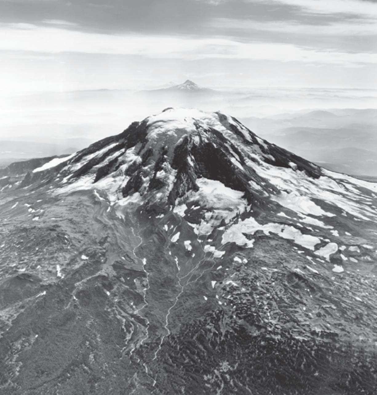
Frontispiece: Mount Adams from northeast (Austin Post, U.S. Geological Survey)
Library of Congress Cataloging-in-Publication Data
Beckey, Fred W., 1921
Cascade alpine guide : climbing and high routes / Fred Beckey.3rd ed.
p. cm.
Includes bibliographical references and indexes.
ISBN 0-89886-577-8 (pbk. : v. 1)
1. MountaineeringCascade RangeGuidebooks. 2. Cascade RangeGuidebooks. 3. Washington (State)Guidebooks. I. Title.
GV199.42.C37 B4 2000
917.950444dc21 00-010140
 Printed on recycled paper
ISBN(paperback): 978-0-89886-577-6 ISBN (ebook): 978-1-59485-568-9
CONTENTS
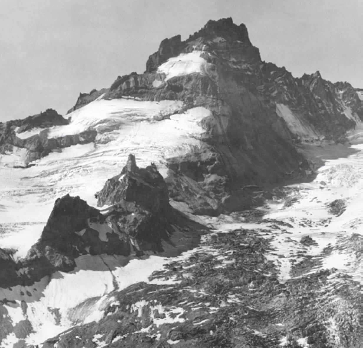
LITTLE TAHOMA from northeast
ED COOPER
PREFACE
It is hoped this guide will materially contribute to the multiple rewards of enjoyment and knowledge of the Cascade Range in Washington. As an alpine guide, it is directed not only to those who wish to climb its peaks, but to forest and alpine pedestrians... those who would hike its high trails, fish, and explore the valleys and uplands in the rich and varied range called the Cascades, one of Americas great mountain ranges.
My initial guidebook, Climbers Guide to the Cascade and Olympic Mountains, published by the American Alpine Club in 1949, was the first comprehensive study of the alpine approaches and mountaineering routes of these mountains. It provided a summit inventory of the extremely complex Cascades, and was immensely influential in developing detailed knowledge for a variety of users. In 1961 this book was rewritten by a committee of the American Alpine Club, bringing its content up to date. It has been out of print since 1967, leaving a vast information gap. Therefore it is hoped this guide will serve as the needed pictorial and written exposition on the range.
Recent increase of human use in the Cascades is manifold, pointing to a need for new and additional information, detail that cannot be adequately covered in one volume. As I pointed out in the earlier guide, climbing has reached a state of acceptance and maturity in the Pacific Northwest that gives it a new recognition and popularity, reflecting the history of the sport in the Alps. This same popularity is exemplified by a great influx of mountain hikers who will find some coverage specifically to their benefit.
It is assumed the user will obtain topographic maps to complement his or her specific needs. Much additional interpretation has been provided in the form of specific area maps, sketches, climbing TOPOs, and photography. The user should be aware of deceptions in the use of oblique aerials. The scale of mountain terrain is never fully perceived in them. The angle and proximity of view may distort correct height, distance, and slope gradient. The farther from center, the greater the image distortion in scaling distance and estimating direction.
Particular gratitude for the use of excellent photographs is due Austin Post of the U.S. Geological Survey, Wallace C. Guy of the U.S. Forest Service, Ed Cooper, Ira Spring, and William A. Long.
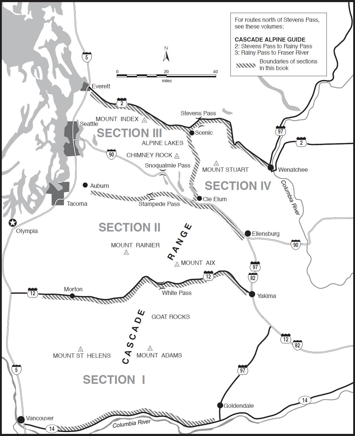
This volume includes the Cascade Range from the Columbia River to a demarcation along the Skykomish River, Stevens Pass, and the Wenatchee River.
For convenience, this volume is divided into four sections generally following principal drainage patterns.
Each section is prefaced by an introductory overview and a listing of ranger stations and maps pertaining to the area covered. References to specific roads, trails, and cross-country routes related to the alpine areas are signaled in the text by a diamond  . These approaches are described in alphabetical order in the Approaches section, located near the end of this volume, following the route descriptions.
Space does not permit a listing of peripheral roads and trails, or of those confined to the foothills or built for timber harvesting. Fishermen will find valuable advice on trail and cross-country routes to high-country lakes, but space does not allow a description of all lakes and their approaches.
The guides primary purpose is to help the user enjoy the Cascade Range, its peaks and high places; keeping a person on a precise route used by others is secondary. An attempt has been made to characterize a mountain, and a known route, presenting an overview with enough detail and flavor to assure success, rather than a total concentration on how to climb the objective. In general, an equitable rather than selective coverage of peaks and routes is intended.
Names used fall in several categories: (1) names with the official approval of the Board on Geographic Names and shown on USGS maps; (2) other accepted names, some shown on U.S. Forest Service maps, some not; (3) provisional names in common usage by mountain visitors or applied by explorers and other specialists, many of which will likely become official by precedent. In the case of modified names, duplicates, or pseudonyms, these are noted. When no name has been given official approval for a feature, for purposes of ready identification, the adopted name, derived from written references or applied by the most authoritative usage, is used; otherwise, locations are defined by elevation shown on the most recent topographic map. The author has been anxious to see attractive names applied to major features and to alleviate the growing confusion of identification by elevation or description, for such a procedure is constantly subject to revision.
Next page





 Printed on recycled paper
 . These approaches are described in alphabetical order in the Approaches section, located near the end of this volume, following the route descriptions.