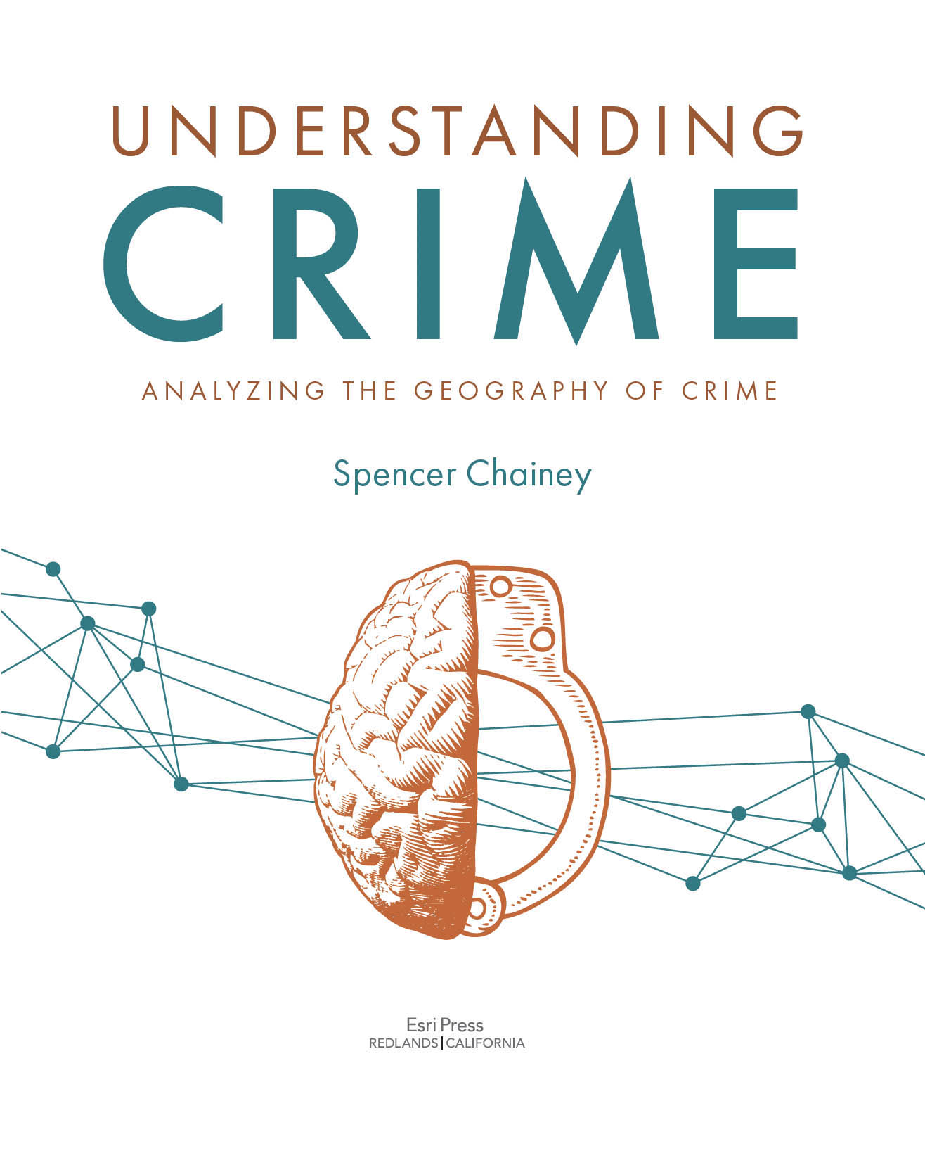
Spencer Chainey - Understanding Crime: Analyzing the Geography of Crime
Here you can read online Spencer Chainey - Understanding Crime: Analyzing the Geography of Crime full text of the book (entire story) in english for free. Download pdf and epub, get meaning, cover and reviews about this ebook. year: 2021, publisher: Esri Press, genre: Children. Description of the work, (preface) as well as reviews are available. Best literature library LitArk.com created for fans of good reading and offers a wide selection of genres:
Romance novel
Science fiction
Adventure
Detective
Science
History
Home and family
Prose
Art
Politics
Computer
Non-fiction
Religion
Business
Children
Humor
Choose a favorite category and find really read worthwhile books. Enjoy immersion in the world of imagination, feel the emotions of the characters or learn something new for yourself, make an fascinating discovery.
- Book:Understanding Crime: Analyzing the Geography of Crime
- Author:
- Publisher:Esri Press
- Genre:
- Year:2021
- Rating:5 / 5
- Favourites:Add to favourites
- Your mark:
Understanding Crime: Analyzing the Geography of Crime: summary, description and annotation
We offer to read an annotation, description, summary or preface (depends on what the author of the book "Understanding Crime: Analyzing the Geography of Crime" wrote himself). If you haven't found the necessary information about the book — write in the comments, we will try to find it.
The definitive guide to analysis techniques for examining the geography of crime
Understanding Crime: Analyzing the Geography of Crime delves into both theory and technique to explain the geographic analysis of crime. Intended as a comprehensive resource and textbook, this book breaks down old, new, and complex approaches to make crime analysis more accessible for readers wanting to improve their own understanding of crime.
Through detailed descriptions, explanations, and illustrations of geographic analysis techniques, Understanding Crime examines spatial and temporal patterns of crime, the use of spatial data in the analysis of crime, and methods for evaluating the impact of geographically targeted interventions. Topics include:
- Hot spot analysis, using cluster analysis techniques
- Temporal analysis, including techniques for examining the stability of crime patterns
- Analysis of repeat and near repeat victimization
- Analysis of persistent and emerging patterns of crime
- Spatial regression analysis, including geographically weighted regression
- Determining crime risk, and where crime is likely to happen
- Performing robust evaluation and applying techniques that determine whether an intervention worked
Every chapter begins with key learning points and ends with a summary and references. Thought boxes with useful information for understanding a theoretical principle or a technical matter are included throughout the book.
Written by world-renowned crime science expert Dr. Spencer Chainey and designed for both students and practitioners of all levels, Understanding Crime is a vital reference that will support you in your spatial analysis of crime and ultimately in making better recommendations for improving your community.
Spencer Chainey: author's other books
Who wrote Understanding Crime: Analyzing the Geography of Crime? Find out the surname, the name of the author of the book and a list of all author's works by series.

Understanding Crime: Analyzing the Geography of Crime — read online for free the complete book (whole text) full work
Below is the text of the book, divided by pages. System saving the place of the last page read, allows you to conveniently read the book "Understanding Crime: Analyzing the Geography of Crime" online for free, without having to search again every time where you left off. Put a bookmark, and you can go to the page where you finished reading at any time.
Font size:
Interval:
Bookmark:
There are many books about crime analysis, GIS and law enforcement, and crime mapping that discuss techniques on the geographic analysis of crime, but none of these books fully explain how to analyze the geography of crime. There are also many journal articles, if you are fortunate enough to have subscribed access, that include studies on the geographic analysis of crime, many of which introduce new techniques for examining patterns of crime. But often, to make sense of these techniques, you need a PhD in mathematics or statistics, or skills in writing code to apply the techniques to your own crime data. This means we are not taking advantage of a fantastic range of analysis techniques that can help us better understand crime, improve how we study the geography of crime, and improve the quality of the services we provide to our colleagues and our communities.
Improving how we analyze crime is what motivated me to write this book. This book provides a detailed description, explanation, and illustration of geographic analysis techniques that can help us better understand crime. It aims to be comprehensive in scope. It aims to be accessible, regardless of your expertise, experience, and the type of GIS you use. This is not an ArcGIS book. It is purposely more generic so that analysts, students, researchers, police officers, public safety officials, and so on can use the contents of the book to help better examine the geography of crime. The book does cover some technical topics. My aim was not to dumb them down, but to dissect them, describe them in plain English so they are easier to understand, and so you can be more confident in how to apply them. Because if you do, you will better understand crime.
This book is not necessarily meant to be read cover to cover, but instead aims to act as a guide that you dip into when needed, to help you apply techniques for a specific task, or help you better understand how certain techniques work. A good place to start is to skim through the pages so you become familiar with the range of content the book covers, so you will hopefully come to regard it as that reference source you can refer to repeatedly. The content includes new and old techniques, and ones you may have heard of but have not been demystified for you to be confident in using. Techniques that you may be familiar with have been stripped back to illustrate the role they play in modern geographic crime analysis. New techniques described in this book offer that contemporary edge, and may become the classics of the future. And techniques that you often have not been confident in using because of their complexity have been broken down, explained in plain English, and illustrated with numerous examples to help you replicate these techniques with your own data.
The chapters follow a logical order. Chapter 1 describes the main theories that relate to the geography of crime. Do not skip this chapter just because it is about theory, and not about techniques. To understand crime, and to interpret the patterns we observe, we must draw from the theory behind crime. All techniques (or at least the good ones) require theory to inform their design, with the theory also helping us interpret the results that the technique generates. If we dont consider theoretical principles in the interpretation of our results, what we state about our results is merely descriptive. We want to explain why the crime patterns exist so we can better recommend what can be done to counter the behaviors, circumstances, and conditions that lead to their formation. To do so, we draw from the theory in our interpretation of the results. The first chapter brings all the main theories that relate to the geographic analysis of crime into one place.
Font size:
Interval:
Bookmark:
Similar books «Understanding Crime: Analyzing the Geography of Crime»
Look at similar books to Understanding Crime: Analyzing the Geography of Crime. We have selected literature similar in name and meaning in the hope of providing readers with more options to find new, interesting, not yet read works.
Discussion, reviews of the book Understanding Crime: Analyzing the Geography of Crime and just readers' own opinions. Leave your comments, write what you think about the work, its meaning or the main characters. Specify what exactly you liked and what you didn't like, and why you think so.