John Beck - Protecting the People: GIS for Law Enforcement
Here you can read online John Beck - Protecting the People: GIS for Law Enforcement full text of the book (entire story) in english for free. Download pdf and epub, get meaning, cover and reviews about this ebook. year: 2022, publisher: Esri Press, genre: Home and family. Description of the work, (preface) as well as reviews are available. Best literature library LitArk.com created for fans of good reading and offers a wide selection of genres:
Romance novel
Science fiction
Adventure
Detective
Science
History
Home and family
Prose
Art
Politics
Computer
Non-fiction
Religion
Business
Children
Humor
Choose a favorite category and find really read worthwhile books. Enjoy immersion in the world of imagination, feel the emotions of the characters or learn something new for yourself, make an fascinating discovery.

- Book:Protecting the People: GIS for Law Enforcement
- Author:
- Publisher:Esri Press
- Genre:
- Year:2022
- Rating:3 / 5
- Favourites:Add to favourites
- Your mark:
Protecting the People: GIS for Law Enforcement: summary, description and annotation
We offer to read an annotation, description, summary or preface (depends on what the author of the book "Protecting the People: GIS for Law Enforcement" wrote himself). If you haven't found the necessary information about the book — write in the comments, we will try to find it.
Discover the geographic approach to fighting crime while engaging citizens.
Protecting the People: GIS for Law Enforcement explores a collection of real-life stories about law enforcement agencies successfully using GIS for crime analysis, open policing, and field mobility. Through these stories, this book illustrates how police departments and law enforcement organizations use GIS to enable data-driven crime-analysis strategies and drive decision making in everyday operations.
The case studies in this book cover:
The book also includes a section on next steps that provides ideas, strategies, tools, and actions to help jump-start your own use of GIS for law enforcement. A collection of online resources, including additional stories, videos, new ideas and concepts, and downloadable tools and content, complements this book.
Learn how location intelligence and the geographic approach can improve crime analysis, streamline operations, and promote community policing initiatives.
John Beck: author's other books
Who wrote Protecting the People: GIS for Law Enforcement? Find out the surname, the name of the author of the book and a list of all author's works by series.


Protecting the People: GIS for Law Enforcement — read online for free the complete book (whole text) full work
Below is the text of the book, divided by pages. System saving the place of the last page read, allows you to conveniently read the book "Protecting the People: GIS for Law Enforcement" online for free, without having to search again every time where you left off. Put a bookmark, and you can go to the page where you finished reading at any time.
Font size:
Interval:
Bookmark:
Transcription:
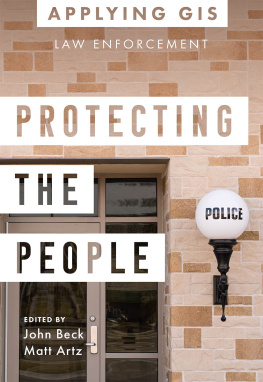
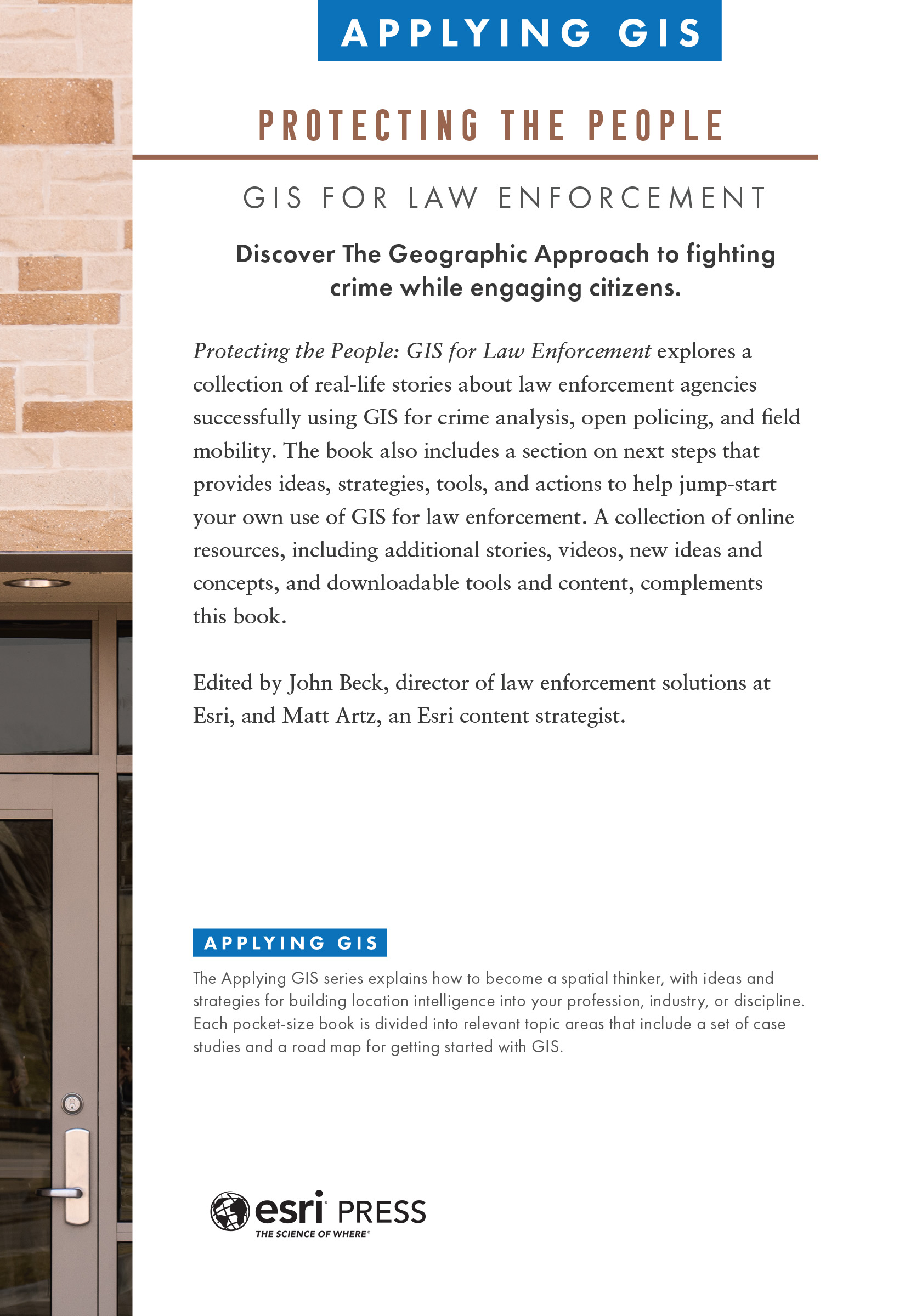
Protecting the People: GIS for Law Enforcement (Applying GIS series)
Discover The Geographic Approach to fighting crime while engaging citizens.
Protecting the People: GIS for Law Enforcement explores a collection of real-life stories about law enforcement agencies successfully using GIS for crime analysis, open policing, and field mobility. The book also includes a section on next steps that provides ideas, strategies, tools, and actions to help jump-start your own use of GIS for law enforcement. A collection of online resources, including additional stories, videos, new ideas and concepts, and downloadable tools and content, complements this book.
Edited by John Beck, director of law enforcement solutions at Esri, and Matt Artz, an Esri content strategist.
Applying GIS
The Applying GIS series explains how to become a spatial thinker, with ideas and strategies for building location intelligence into your profession, industry, or discipline. Each pocket-size book is divided into relevant topic areas that include a set of case studies and a road map for getting started with GIS.
 Esri Press, 380 New York Street, Redlands, California 92373-8100
Copyright 2022 Esri
All rights reserved.e-ISBN: 9781589487307The Library of Congress has cataloged the print edition as follows: 2022936933The information contained in this document is the exclusive property of Esri or its licensors. This work is protected under United States copyright law and other international copyright treaties and conventions. No part of this work may be reproduced or transmitted in any form or by any means, electronic or mechanical, including photocopying and recording, or by any information storage or retrieval system, except as expressly permitted in writing by Esri. All requests should be sent to Attention: Director, Contracts and Legal Department, Esri, 380 New York Street, Redlands, California 92373-8100, USA. The information contained in this document is subject to change without notice. US Government Restricted/Limited Rights: Any software, documentation, and/or data delivered hereunder is subject to the terms of the License Agreement. The commercial license rights in the License Agreement strictly govern Licensees use, reproduction, or disclosure of the software, data, and documentation. In no event shall the US Government acquire greater than RESTRICTED/LIMITED RIGHTS. At a minimum, use, duplication, or disclosure by the US Government is subject to restrictions as set forth in FAR 52.227-14 Alternates I, II, and III (DEC 2007); FAR 52.227-19(b) (DEC 2007) and/or FAR 12.211/12.212 (Commercial Technical Data/Computer Software); and DFARS 252.227-7015 (DEC 2011) (Technical Data Commercial Items) and/or DFARS 227.7202 (Commercial Computer Software and Commercial Computer Software Documentation), as applicable. Contractor/Manufacturer is Esri, 380 New York Street, Redlands, California 92373-8100, USA.Esri products or services referenced in this publication are trademarks, service marks, or registered marks of Esri in the United States, the European Community, or certain other jurisdictions. To learn more about Esri marks, go to: links.esri.com/EsriProductNamingGuide. Other companies and products or services mentioned herein may be trademarks, service marks, or registered marks of their respective mark owners.For purchasing and distribution options (both domestic and international), please visit esripress.esri.com.On the cover: Photograph by Keith Homan.180652
Its an understatement to say that policing in todays world is challenging. Many agencies face budget constraints, widespread staffing shortages, and rising crime numbers. Law enforcement agencies must do more with less as they meet higher service demands to safeguard communities. To meet these challenges, police agencies must maximize their return on investment (ROI). In other words, police must use every available asset wisely and effectively.
Increasingly, one of the most effective tools for police is technology. Law enforcement technology includes many and varied hardware and software systems. These solutions include mobile technologies, cameras, sensors, computer-aided dispatch (CAD), and records management systems (RMS). The combined data, software, and analysis tools from these systems give police new and innovative ways to fight crime, increase officer safety, reduce call response times, and even help police better connect with citizens.
Despite these advances, many police agencies still struggle to get the most out of the technology they own. Much of the technology and data police need is in siloed or single-use legacy systems. These legacy systems often are difficult to use and incompatible with new, modern technology and infrastructure. And although these sensors and systems collect data, typically they are not connected or accessible for decision-making.
Police agencies often encounter these common challenges:
- Legacy systems are hard to access and lack security.
- The lack of integrated systems creates data silos.
- Limited analytical capabilities lead to ineffective decision-making.
- The inability to share and collaborate with internal and external stakeholders leaves communication gaps.
Increasingly, police use geographic information systems (GIS) to address these and other challenges. GIS can serve as the foundation to integrate all the various systems, databases, and data types that every agency possesses. As such, GIS can rapidly process, analyze, and disseminate actionable intelligence. GIS can dramatically improve many common police workflows, including strategies to reduce crime and improve field operations. GIS integrates with many of the worlds leading law enforcement solutions and can easily adapt to meet specific agency needs and workflows. This capability means that as agency needs change, the technology evolves with configurable tools to meet todays needs and prepare for what may come tomorrow.
As police departments analyze crime patterns, manage patrol operations, and support community engagement, the GIS toolbox helps manage, analyze, visualize, and share data via interactive maps and apps. Every day, police agencies worldwide use this technology to understand complex problems, increase decision-making capabilities, improve situational awareness, and collaborate to solve tough, real-world issues.
Crime and intelligence analysts have used spatial analysis for decades to help police agencies detect, understand, and respond to crime problems. Traditionally, using spatial analysis has been a laborious process that required extracting data manually from an RMS, possibly processing and performing data analysis in older GIS programs, and exporting or printing static maps that werent editable or secure. Analysis with todays modern mapping and spatial analysis tools looks much different. Analysts now use GIS to connect directly to RMS databases, automate the process, perform advanced spatial analysis in minutes, and then deliver interactive maps and apps for the rest of the agency. The work of analysts is foundational in helping law enforcement agencies make smarter, better-informed decisions that keep our communities safe.
GIS improves police operations by supporting decision-making at the executive level and delivering actionable intelligence to officers in the field. Commanders use strategic dashboards to implement modern crime-control strategies and monitor the success of ongoing police initiatives. GIS technology also supports integration with sensor systems including CCTV, remotely piloted aerial vehicles (UAV), body-worn cameras, license-plate readers (LPR), automated vehicle location (AVL), and other technologies that collect location information. Operation centers integrate these data sources into dashboards to support real-time situational awareness. Mobile apps provide additional operational support with tools for operations personnel, including navigation, field data collection, form surveys, passive location monitoring, and peer-to-peer communications.
Font size:
Interval:
Bookmark:
Similar books «Protecting the People: GIS for Law Enforcement»
Look at similar books to Protecting the People: GIS for Law Enforcement. We have selected literature similar in name and meaning in the hope of providing readers with more options to find new, interesting, not yet read works.
Discussion, reviews of the book Protecting the People: GIS for Law Enforcement and just readers' own opinions. Leave your comments, write what you think about the work, its meaning or the main characters. Specify what exactly you liked and what you didn't like, and why you think so.