Published by Adlard Coles Nautical an imprint of Bloomsbury Publishing Plc
50 Bedford Square, London WC1B 3DP
www.adlardcoles.com
This electronic edition published in 2014 by Bloomsbury Publishing Plc
Sixth edition copyright Barry Pickthall 2013
Previous editions copyright Basil Mosenthal
First edition 1995
Second edition 1998
Third edition 2001
Fourth edition 2004
Fifth edition 2007
10 9 8 7 6 5 4 3 2 1
Paperback: 978-1-4081-9449-2
ePub: 978-1-4081-9450-8
ePDF: 978-1-4081-9451-5
All rights reserved
You may not copy, distribute, transmit, reproduce or otherwise make available this publication (or any part of it) in any form, or by any means (including without limitation electronic, digital, optical, mechanical, photocopying, printing, recording or otherwise), without the prior written permission of the publisher. Any person who does any unauthorised act in relation to this publication may be liable to criminal prosecution and civil claims for damages
The right of the author to be identified as the author of this work has been asserted by him in accordance with the Copyright, Designs and Patents Act, 1988.
To find out more about our authors and their books please visit www.bloomsbury.com where you will find extracts, author interviews and details of forthcoming events, and to be the first to hear about latest releases and special offers, sign up for our newsletters here.
Bloomsbury is a trade mark of Bloomsbury Publishing Plc
CONTENTS
Working with charts
What you see on them

What they look like
What they signify

How to measure distances and plot bearings
Latitude and Longitude
Keeping charts up to date

Steering a compass
course Calculating magnetic and true bearings

What you need and how to use them
Taking bearings to find your position

How the tide rises and falls
How to find the height of the tide

What they are, and how to find out what they are doing

Making the most of computerised electronics
What instruments are available and simple ways to use them

Using electronics to show your position, navigate and plan a voyage
The importance of keeping a paper back-up

Using electronics to pre-plan a voyage
How wind and tide may affect your timing
Selecting alternative ports

What you need to know about a strange harbour
Where to find the information electronically and in the nautical almanac
Arriving in harbour

Practical advice on planning a safe passage

Practical advice for the new navigator
Coping with rough
weather Writing up the log

Simple advice about sailing at night, and why it is not difficult
INTRODUCTION
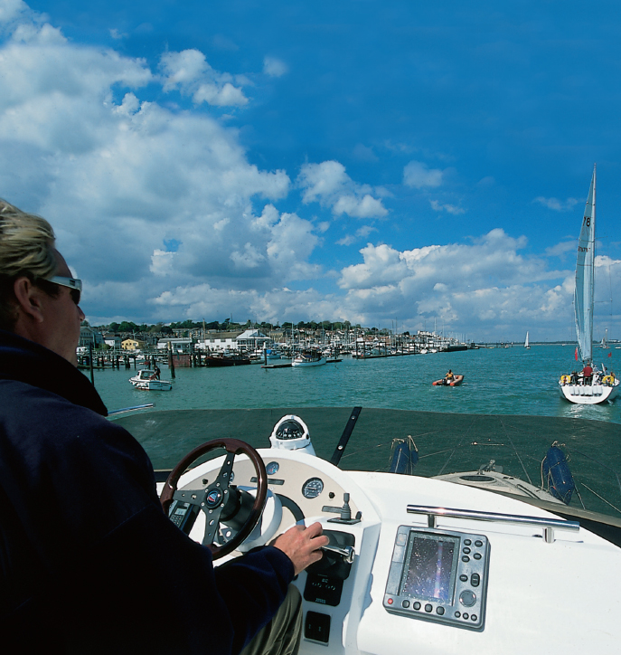
Welcome to the world of navigation. For many, especially beginners whose introduction has been limited to pressing buttons on an electronic chart plotter, paper skills may seem difficult. But rest assured, navigating is a highly satisfying skill, and not at all difficult to learn.
The successful navigator is merely someone who follows simple procedures, works carefully, and makes the best of their experience.
As the subtitle suggests, this book is merely an introduction to navigation. It aims to be very simple, and includes some short cuts. It is not a textbook for passing exams.
Anyone going afloat needs to learn the basics of navigation, whether or not they want to become a navigator. It adds a lot of interest when going to sea, and if the skipper or navigator is put out of action, it is good to have someone else onboard who can take the boat safely back to port.
For those wanting to learn how to navigate, there is enough in this book to get you started, at least in coastal waters. The more practice you can get afloat the better. It is worth noting that despite the almost universal use of GPS and electronic plotters, national sailing authorities still require sailors on their courses to have a knowledge of basic navigation and they are likely to do so for a long time yet.
Terminology
Navigating a powerboat is not very different from navigating a sailing yacht, and this book is intended for both. But for simplicitys sake, we do sometimes talk about sailing or going for a sail.
Finally, make no mistake, girls make excellent navigators, but too much use of he or she becomes tedious to read, so we offer due apologies for referring to the navigator throughout this book as he.
Electronics like GPS (Global Positioning System) and plotters play a very important part even on small boats and are here to stay, but what happens if there is a power failure? How do you get home?
When it comes to coastal navigation you may have an excellent chart plotter, but close inshore with lots of traffic and a multitude of buoys is not the moment to be glued to a screen, not looking around you. You need to be able to read what you see. This is where basic navigation skills come in, and this book will give you the essentials.
Above all, a GPS cannot be used effectively without understanding the first principles of navigation. So this is where we shall start.
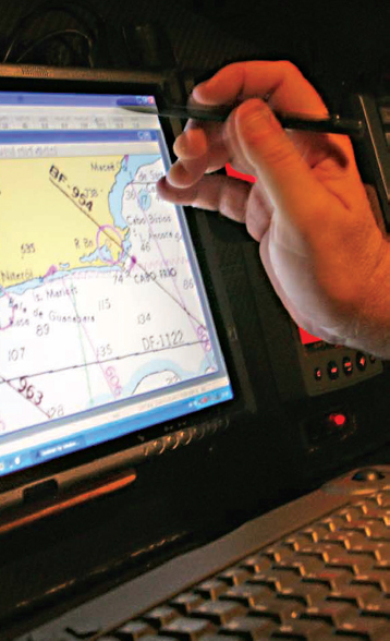
. CHARTS
Charts are the basis of safe navigation, and more essential to the sailor than a road map is to the motorist. So the first thing is to find out about the different charts that are available and understand what you see on both paper and electronic charts.
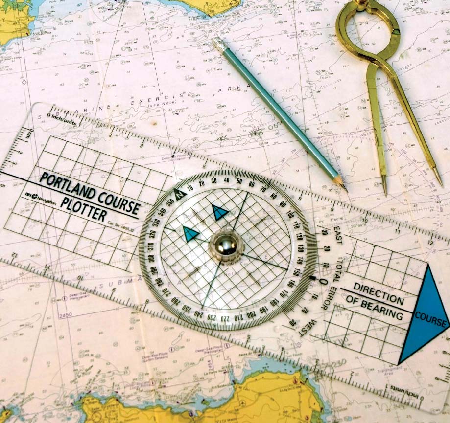
A chart can show a large-scale plan of a harbour, a stretch of coastline or an entire ocean. In the UK, there are two types of chart: those published by the Admiralty, and the commercial charts published by Stanfords and Imray which are specially produced for yachtsmen and small craft, and cover the most popular sailing areas.
Standard Admiralty charts cover the whole world, and have a reputation for accuracy and detail. There are also Admiralty Leisure Charts, which cover the most popular sailing areas around UK shores, the west coast of Ireland, and the Channel Islands.

