• Complain

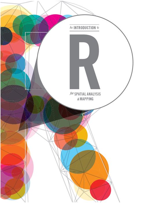
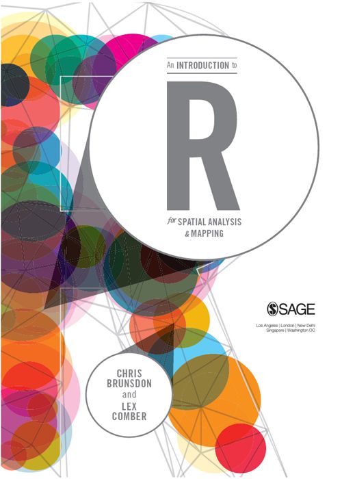
Chris Brunsdon - An Introduction to R for Spatial Analysis and Mapping

Here you can read online Chris Brunsdon - An Introduction to R for Spatial Analysis and Mapping full text of the book (entire story) in english for free. Download pdf and epub, get meaning, cover and reviews about this ebook. year: 2015, publisher: SAGE Publications Ltd, genre: Computer. Description of the work, (preface) as well as reviews are available. Best literature library LitArk.com created for fans of good reading and offers a wide selection of genres:

Romance novel Science fiction Adventure Detective Science History Home and family Prose Art Politics Computer Non-fiction Religion Business Children Humor

Choose a favorite category and find really read worthwhile books. Enjoy immersion in the world of imagination, feel the emotions of the characters or learn something new for yourself, make an fascinating discovery.

Chris Brunsdon An Introduction to R for Spatial Analysis and Mapping
  • Book:
    An Introduction to R for Spatial Analysis and Mapping
  • Author:
  • Publisher:
    SAGE Publications Ltd
  • Genre:
  • Year:
    2015
  • Rating:
    3 / 5
  • Favourites:
    Add to favourites
  • Your mark:
    • 60
    • 1
    • 2
    • 3
    • 4
    • 5

An Introduction to R for Spatial Analysis and Mapping: summary, description and annotation

We offer to read an annotation, description, summary or preface (depends on what the author of the book "An Introduction to R for Spatial Analysis and Mapping" wrote himself). If you haven't found the necessary information about the book — write in the comments, we will try to find it.

In an age of big data, data journalism and with a wealth of quantitative information around us, it is not enough for students to be taught only 100 year old statistical methods using out of the box software. They need to have 21st-century analytical skills too. This is an excellent and student-friendly text from two of the world leaders in the teaching and development of spatial analysis. It shows clearly why the open source software R is not just an alternative to commercial GIS, it may actually be the better choice for mapping, analysis and for replicable research. Providing practical tips as well as fully working code, this is a practical how to guide ideal for undergraduates as well as those using R for the first time. It will be required reading on my own courses.
- Richard Harris, Professor of Quantitative Social Science, University of Bristol
R is a powerful open source computing tool that supports geographical analysis and mapping for the many geography and non-geography students and researchers interested in spatial analysis and mapping.
This book provides an introduction to the use of R for spatial statistical analysis, geocomputation and the analysis of geographical information for researchers collecting and using data with location attached, largely through increased GPS functionality.
Brunsdon and Comber take readers from zero to hero in spatial analysis and mapping through functions they have developed and compiled into R packages. This enables practical R applications in GIS, spatial analyses, spatial statistics, mapping, and web-scraping. Each chapter includes:

  • Example data and commands for exploring it
  • Scripts and coding to exemplify specific functionality
  • Advice for developing greater understanding - through functions such as locator(), View(), and alternative coding to achieve the same ends
  • Self-contained exercises for students to work through
  • Embedded code within the descriptive text.

This is a definitive how to that takes students - of any discipline - from coding to actual applications and uses of R.

Chris Brunsdon: author's other books


Who wrote An Introduction to R for Spatial Analysis and Mapping? Find out the surname, the name of the author of the book and a list of all author's works by series.

An Introduction to R for Spatial Analysis and Mapping — read online for free the complete book (whole text) full work

Below is the text of the book, divided by pages. System saving the place of the last page read, allows you to conveniently read the book "An Introduction to R for Spatial Analysis and Mapping" online for free, without having to search again every time where you left off. Put a bookmark, and you can go to the page where you finished reading at any time.

Light

Font size:

Reset

Interval:

Bookmark:

Make

For my cousin John Poile 19632013 Missed by many people in many ways CB To - photo 1

For my cousin John Poile (19632013) Missed by many people in many ways. CB To Mandy we didnt break each other. AJC

Chris Brunsdon and Lex Comber 2015 First published 2015 Apart from any fair - photo 2

Chris Brunsdon and Lex Comber 2015

First published 2015

Apart from any fair dealing for the purposes of research or private study, or criticism or review, as permitted under the Copyright, Designs and Patents Act, 1988, this publication may be reproduced, stored or transmitted in any form, or by any means, only with the prior permission in writing of the publishers, or in the case of reprographic reproduction, in accordance with the terms of licences issued by the Copyright Licensing Agency. Enquiries concerning reproduction outside those terms should be sent to the publishers.

Library of Congress Control Number: 2014939813

British Library Cataloguing in Publication data

A catalogue record for this book is available from the British Library

ISBN 978-1-4462-7294-7
ISBN 978-1-4462-7295-4 (pbk)

An Introduction to R for Spatial Analysis and Mapping - image 3

SAGE Publications Ltd
1 Olivers Yard
55 City Road
London EC1Y 1SP

SAGE Publications Inc.
2455 Teller Road
Thousand Oaks, California 91320

SAGE Publications India Pvt Ltd
B 1/I 1 Mohan Cooperative Industrial Area
Mathura Road
New Delhi 110 044

SAGE Publications Asia-Pacific Pte Ltd
3 Church Street
#10-04 Samsung Hub
Singapore 049483


Editor: Robert Rojek

Assistant editor: Keri Dickens

Production editor: Katherine Haw

Copyeditor: Richard Leigh

Proofreader: Neil Dowden

Marketing manager: Michael Ainsley

Cover design: Francis Kenney

Typeset by: C&M Digitals (P) Ltd, Chennai, India

Printed and bound in Great Britain by Ashford Colour Press Ltd

An Introduction to R for Spatial Analysis and Mapping - image 4

At SAGE we take sustainability seriously. Most of our products are printed in the UK using FSC papers and boards. When we print overseas we ensure sustainable papers are used as measured by the Egmont grading system. We undertake an annual audit to monitor our sustainability.

CONTENTS

ABOUT THE AUTHORS

Chris Brunsdon is Professor of Geocomputation at the National University of Ireland, Maynooth. He studied Mathematics at the University of Durham and Medical Statistics at the University of Newcastle upon Tyne, and has worked in a number of universities, holding the Chair in Human Geography at Liverpool University before taking up his current position. His research interests are in health, crime and environmental data analysis, and in the development of spatial analytical tools, including Geographically Weighted Regression approach. He also has interests in the software tools used to develop such approaches, including R.

Lex Comber is Professor of Geographical Information Sciences at the University of Leicester. After studying for a BSc in Plant and Crop Sciences at Nottingham, he did his PhD at the Macaulay Land Use Research Institute (now the Hutton Institute) and the University of Aberdeen. His research covers all areas of spatial analyses and the application and development of quantitative geographical methods. These have been applied across topic areas that straddle both the social and environmental and include accessibility analyses, land cover/land use monitoring and handling uncertainty in geographic information and spatial data.

FURTHER RESOURCES

All of the data used in the examples in this book are provided inside R packages and so will be automatically available when the packages are installed or are collected by the code that is used. Instructions on installation of packages appears as they are introduced. In some instances data are read directly from websites into R and in these cases details are given in the text.

An annotated R script for each chapter is available at https://study.sagepub.com/brunsdoncomber . The authors will make periodic updates to these as needed (for example if packages or function calls change).

This books draws heavily on the functions available in the GISTools package. For detailed information about this package go to: http://cran.r-project.org/web/packages/GISTools/index.html

PREFACE

R has provided a freely available tool for the analysis of data for well over a decade. The original purpose of R was to provide a programming language and interactive environment for statistical data analysis. By providing a command-line focused and programmable environment for data analysis, it has proved its worth not only as a statistical analysis toolkit (in the manner of say SPSS or Minitab), but also a flexible environment for the development of new techniques. In addition, it provides a number of powerful graphical facilities.

Over recent years both of us have witnessed the increasing use of R for spatial analysis and geo-computation in the scientific activities we engage in directly. In addition we have seen the increasing use and analysis of spatial data in many other scientific and academic fields. This implies that R is now becoming an important tool for anyone who needs to work with spatial data. Although R does not offer a point-and-click approach offering rapid access to a number of standard GIS operations, its programmability implies that it can be used to tackle a very broad range of applications, with virtually any data format. It can be thought of as a Swiss Army Knife of spatial data handling and analysis.

Our motivation for writing this book much of which is about using R as a tool for manipulating geographical information, and the production of maps reflects these perceptions and the need for a text that can be used by both geographers and researchers in other areas to develop spatial analyses. For these reasons the book is structured and sequenced to provide a learning path that does not assume any prior knowledge of R, spatial analysis or GIS. Rather, as the reader progresses through the chapters, they undertake analyses and exercises that build on previously introduced concepts and tools. R provides an incredibly diverse environment within which to conduct data analyses as its functionality is constantly being expanded with the creation and sharing of new tools and functions in contributed packages. We aim to give the reader a sense of the power that R can offer by explaining a number of geographical information based techniques and problems, and demonstrating how R may be used to address these. We are both strong believers in the principle of learning by doing. We hope this approach is not only informative, but also enjoyable.

We would also like to acknowledge the help of Idris Jega Mohammed, who checked through the manuscript and examples, the reviewers of the first draft, David Unwin and Rich Harris, whose helpful and constructive comments made our task much easier, and the authors of R itself and the many packages that we use in this book.

CB, AJC

INTRODUCTION

1.1 OBJECTIVES OF THIS BOOK

This book assumes no prior knowledge of either R or spatial analysis and mapping. It provides an introduction to the use of R and the increasing number of tools that can be used for explicitly spatial analyses, geocomputation and the statistical analysis of geographical information. The text draws from a number of open source, user contributed libraries or packages that support mapping and cartographic outputs arising from both raster and vector analyses. The book implicitly focuses on vector GIS as other texts cover raster with classic geostatistics (see Bivand et al., 2008), although rasters are implicitly included in some of the exercises, for example the outputs of density surfaces and some of the geographically weighted analyses as described in later chapters.

Next page
Light

Font size:

Reset

Interval:

Bookmark:

Make

Similar books «An Introduction to R for Spatial Analysis and Mapping»

Look at similar books to An Introduction to R for Spatial Analysis and Mapping. We have selected literature similar in name and meaning in the hope of providing readers with more options to find new, interesting, not yet read works.


Reviews about «An Introduction to R for Spatial Analysis and Mapping»

Discussion, reviews of the book An Introduction to R for Spatial Analysis and Mapping and just readers' own opinions. Leave your comments, write what you think about the work, its meaning or the main characters. Specify what exactly you liked and what you didn't like, and why you think so.