One
ANDROSCOGGIN COUNTY
At town meeting in 1812, Turner voted to build a new bridge over the Twenty Mile Stream (now the Nezinscot River), provided that certain individuals would cover it. This may mean that Turner had the first covered bridge in Maine, but probably not. Before c. 1825, to cover a bridge commonly meant to install the finished deck surface on an open bridge.
Turner was, however, the scene of some early bridges over the Androscoggin River, involving competition among truss types. North Turner Bridge (to Leeds) was an 1828 Town lattice truss, lost to an ice freshet in 1839 and built anew. Timbers from the former bridge were used to brace a nearby barn, which is still standing (though just barely). Downstream, Turner Center Bridge (to Greene) was a Long truss built in 1834 and was also lost to the 1839 freshet.
Great Falls, between Lewiston and Auburn, was once the site of a deck truss covered railroad bridge, meaning that it was fully boarded, but the trains ran on top. The highway bridge downstream was briefly covered and was later a boxed pony truss. Auburn also had a covered bridge on Main Street near Barker Mill, and Lewiston had a covered overpass on Bridge Street over railroad tracks. Mechanic Falls had a McCallum deck truss covered bridge on the Grand Trunk Railway.
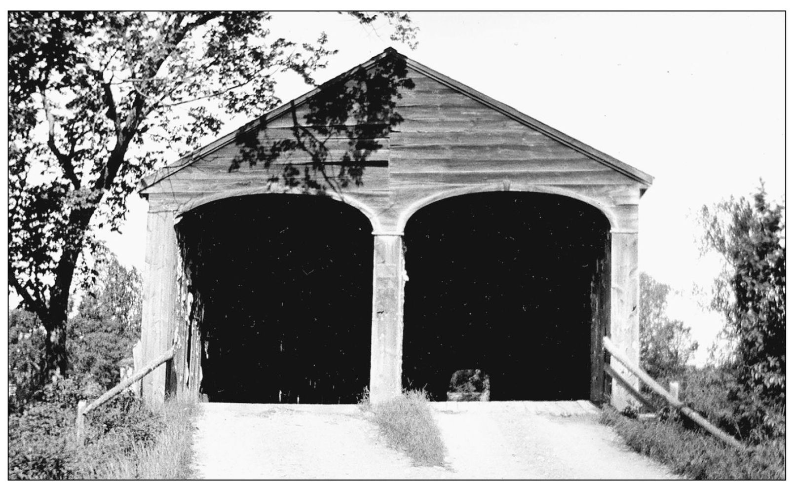
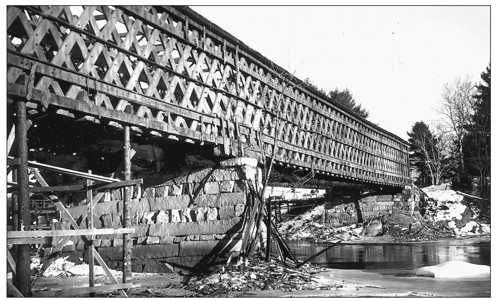
This is the 1839 North Turner Toll Bridge, built to replace the 1828 bridge lost to a freshet. Like the previous bridge, it was a Town lattice truss, and it was a double-barrel bridge. It had two lanes for traffic, separated by a center truss. (Maine DOT files.)
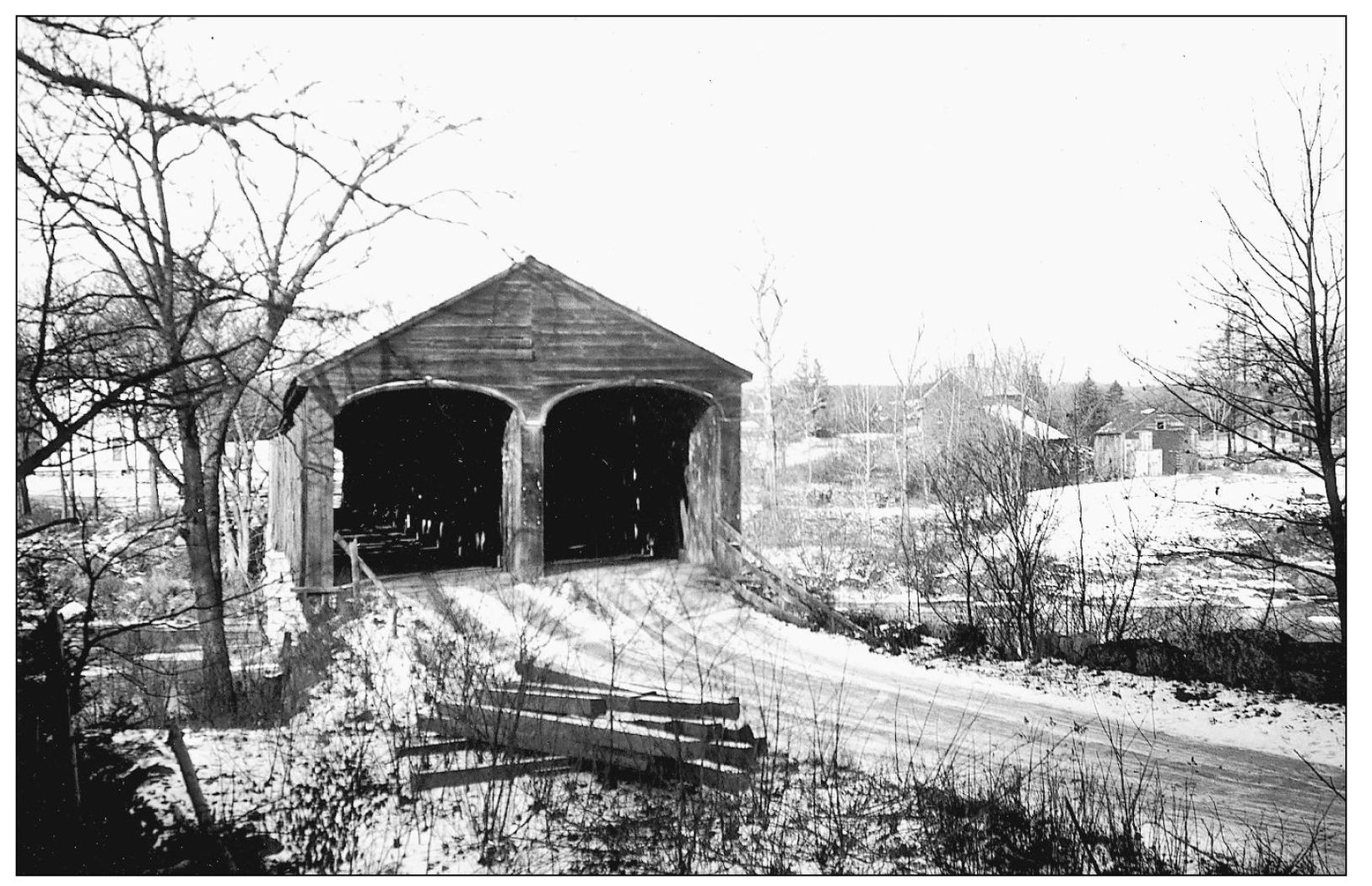
North Turner Toll Bridge was on the Turner-Leeds town line, crossing to an island in the Androscoggin River. This view, from the island in Leeds, looks west toward Turner. (Maine DOT files.)
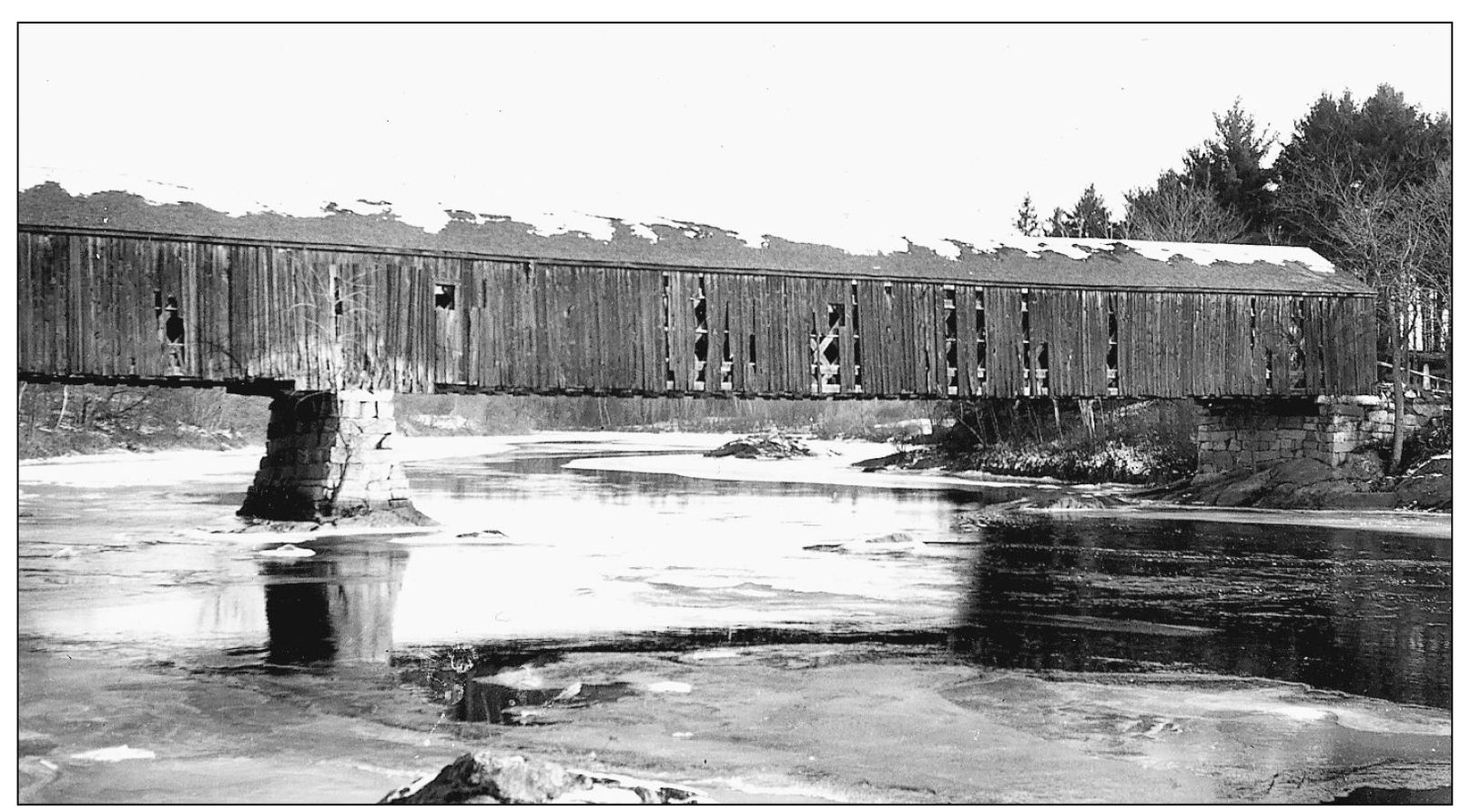
As seen in this side view, North Turner Toll Bridge was a two-span structure. It served as a toll bridge until 1924. The views on pages 9 through 13 all date from the l9341935 period. (Maine DOT files.)
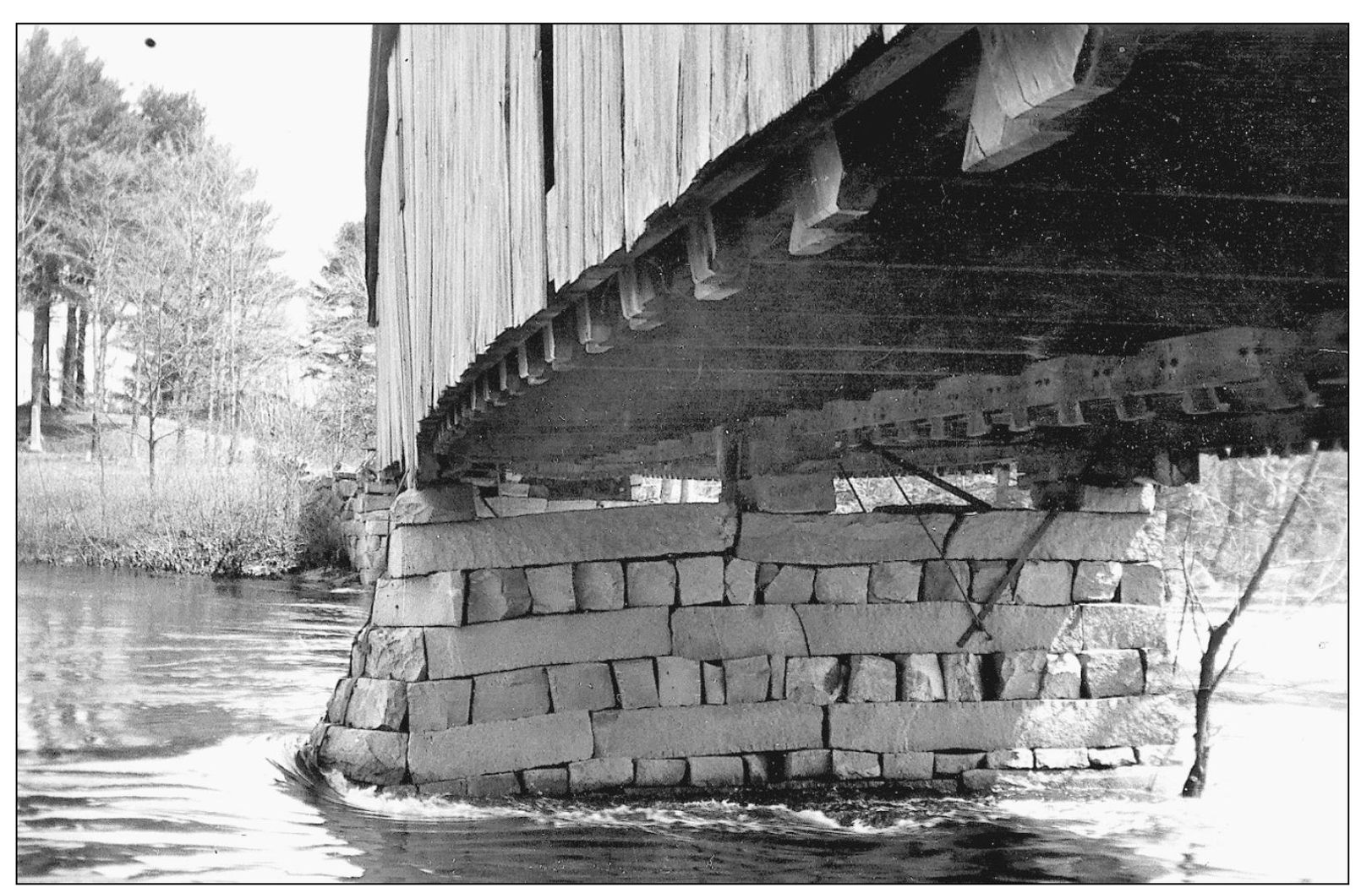
The center pier of North Turner Toll Bridge was damaged by erosion from the strong currents in the Androscoggin River. The upstream end settled, causing the bridge trusses to sag. (Maine DOT files.)
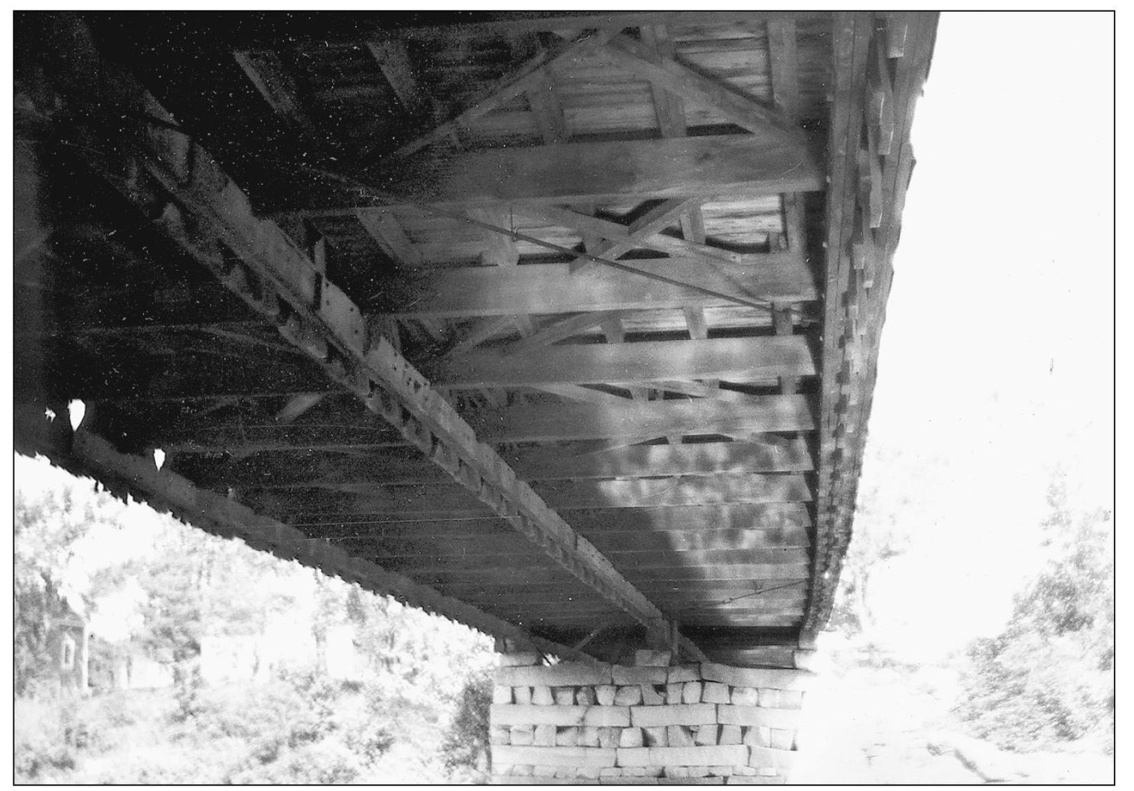
This rare view shows the floor framing of North Turner Toll Bridge. (Maine DOT files.)
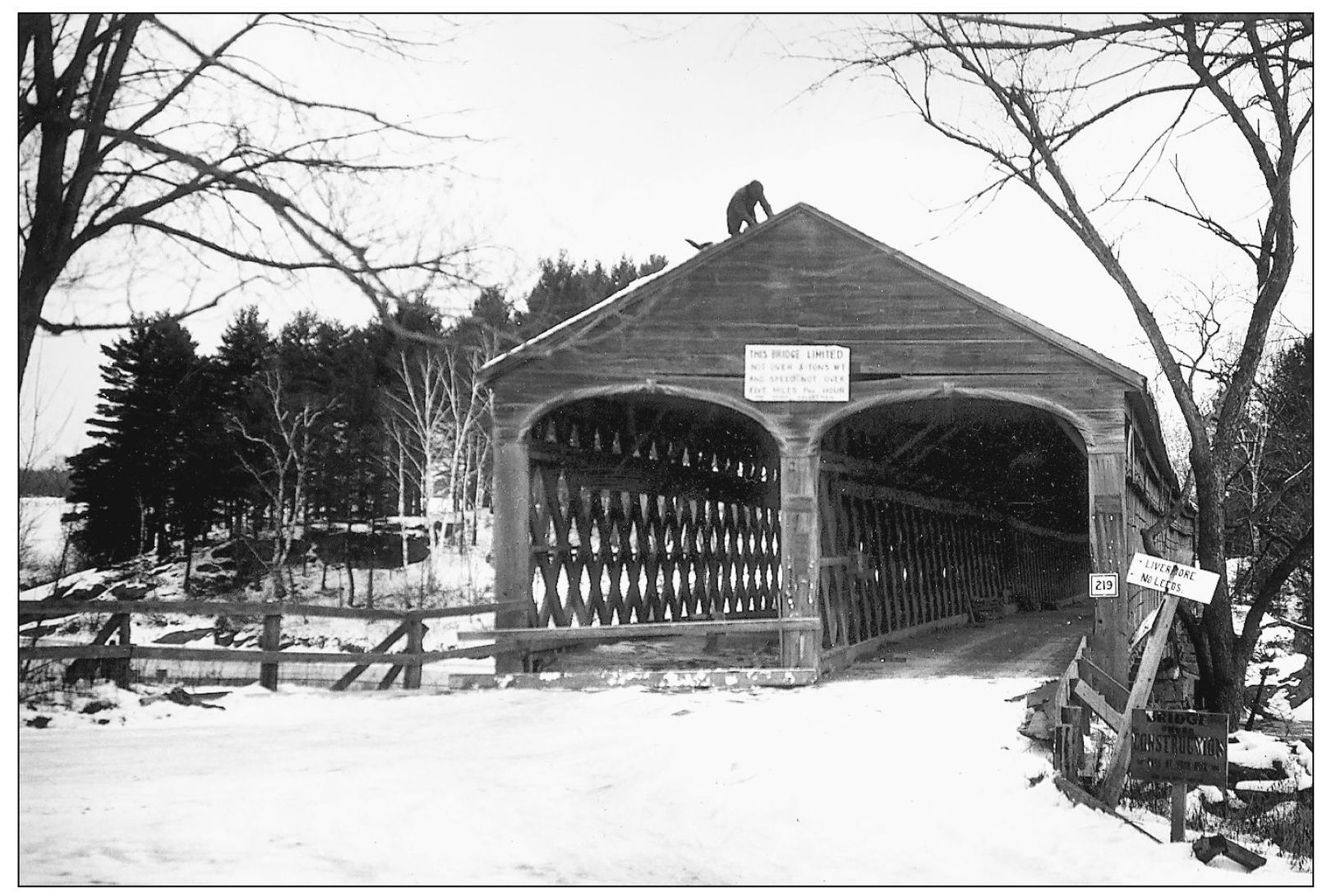
This photograph shows demolition beginning at North Turner Toll Bridge on December 13, 1935, and only one lane open. The view is from Turner, looking toward Leeds. Note the sign for Route 219 on the bridge portal. (Maine DOT files.)
Eleven days later, demolition is much further along. The Town lattice trusswork is clearly revealed. (Maine DOT files.)
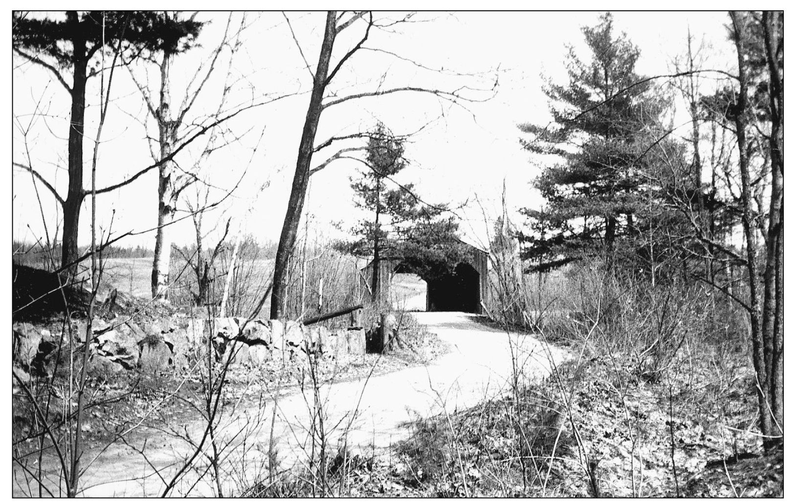
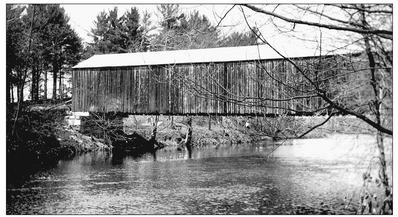
The North Turner Toll Bridge crossing included a second covered bridge that is not as well known. It was over the smaller east channel of the Androscoggin River from the island back to the mainland, entirely in Leeds. It had a 19-foot roadway, wide enough for two lanes of traffic, but without a center truss. (Maine DOT files.)
Here is another view of the separate east channel crossing at North Turner Toll Bridge. So far as is known, this bridge was built at the same time as the better-known west channel bridge. (Maine DOT files.)
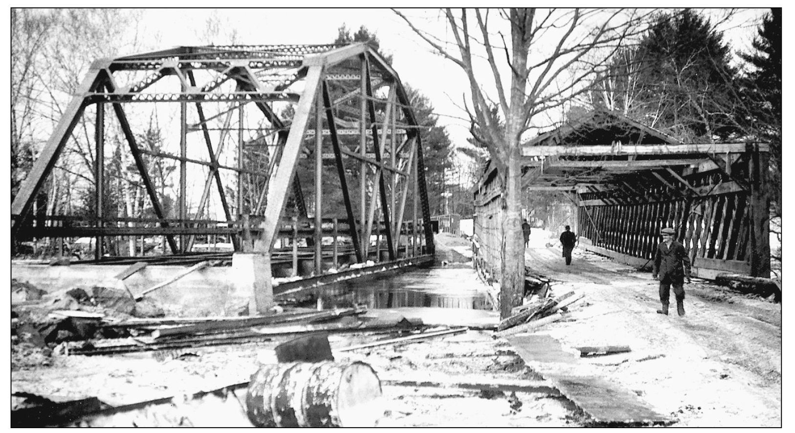
The east channel crossing at North Turner Toll Bridge went out in the 1936 flood shortly after this photograph was taken, but it was already being torn down anyway. Afterward, the replacement steel bridges were raised three feet. (Maine DOT files.)
Livermore Falls was at first entirely in the town of Livermore. In 1843, the land on the east side of the river was set off as the separate town of East Livermore (later called Livermore Falls). Here is the covered bridge over the mighty Androscoggin River. (Richard Sanders Allen Collection, NSPCB Archives.)
This is another view of Livermore Falls. The first bridge was built in 1858 and was a noncovered Haupt truss. The Haupt plan, patented in 1839, was used occasionally in Maine, but we do not know the name of the builder who first brought it here. After the first bridge was lost to a freshet, it was replaced in 1872 with this covered bridge, which was also a Haupt truss. It lasted until the famous flood of 1896. (Richard Sanders Allen Collection, NSPCB Archives.)

