• Complain

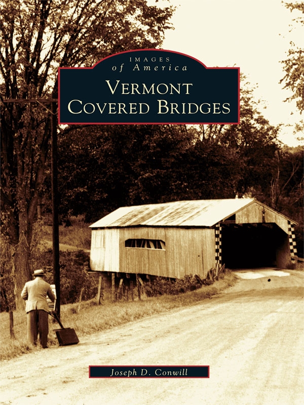
Conwill - Vermont Covered Bridges

Here you can read online Conwill - Vermont Covered Bridges full text of the book (entire story) in english for free. Download pdf and epub, get meaning, cover and reviews about this ebook. City: Vermont, year: 2004;2011, publisher: Arcadia Publishing Inc., genre: Non-fiction. Description of the work, (preface) as well as reviews are available. Best literature library LitArk.com created for fans of good reading and offers a wide selection of genres:

Romance novel Science fiction Adventure Detective Science History Home and family Prose Art Politics Computer Non-fiction Religion Business Children Humor

Choose a favorite category and find really read worthwhile books. Enjoy immersion in the world of imagination, feel the emotions of the characters or learn something new for yourself, make an fascinating discovery.

Conwill Vermont Covered Bridges
  • Book:
    Vermont Covered Bridges
  • Author:
  • Publisher:
    Arcadia Publishing Inc.
  • Genre:
  • Year:
    2004;2011
  • City:
    Vermont
  • Rating:
    5 / 5
  • Favourites:
    Add to favourites
  • Your mark:
    • 100
    • 1
    • 2
    • 3
    • 4
    • 5

Vermont Covered Bridges: summary, description and annotation

We offer to read an annotation, description, summary or preface (depends on what the author of the book "Vermont Covered Bridges" wrote himself). If you haven't found the necessary information about the book — write in the comments, we will try to find it.

When we think of covered bridges, we think of Vermont. Today, the state still boasts a hundred covered bridges, and records tell of hundreds more such historical structures no longer in existence. Vermont Covered Bridges offers views of the most interesting and beautiful of these bygone covered bridges, as well as old photographs of existing structures. The images are drawn from the archives of the National Society for the Preservation of Covered Bridges (NSPCB), including the incomparable Richard Sanders Allen Collection and the work of noted photographers Henry A. Gibson, Raymond Brainerd, and others. Royalties from the sales of this book will benefit the NSPCB.

Conwill: author's other books


Who wrote Vermont Covered Bridges? Find out the surname, the name of the author of the book and a list of all author's works by series.

Vermont Covered Bridges — read online for free the complete book (whole text) full work

Below is the text of the book, divided by pages. System saving the place of the last page read, allows you to conveniently read the book "Vermont Covered Bridges" online for free, without having to search again every time where you left off. Put a bookmark, and you can go to the page where you finished reading at any time.

Light

Font size:

Reset

Interval:

Bookmark:

Make
Table of Contents ACKNOWLEDGMENTS Vermont Covered Bridges draws from the - photo 1
Table of Contents

ACKNOWLEDGMENTS

Vermont Covered Bridges draws from the work of many people. Richard Sanders Allen is the dean of covered bridge historians. He has been an immeasurable help, both by way of his historical research and by the photographs he took during his travels in the 1930s and 1940s. Raymond and Barbara Brainerd and Henry A. Gibson sought out covered bridges during the same period, as did Herbert Richter a decade later. All of these photographers have generously donated their collections to the archives of the National Society for the Preservation of Covered Bridges, from which this book was drawn. The society will receive the royalties from sales of this book.

Find more books like this at wwwimagesofamericacom Search for your - photo 2

Find more books like this at www.imagesofamerica.com


Search for your hometown history, your old
stomping grounds, and even your favorite sports team.

One
SOUTHWEST

BENNINGTON AND RUTLAND COUNTIES
Bennington County is located in Vermonts southwest corner and most of the - photo 3

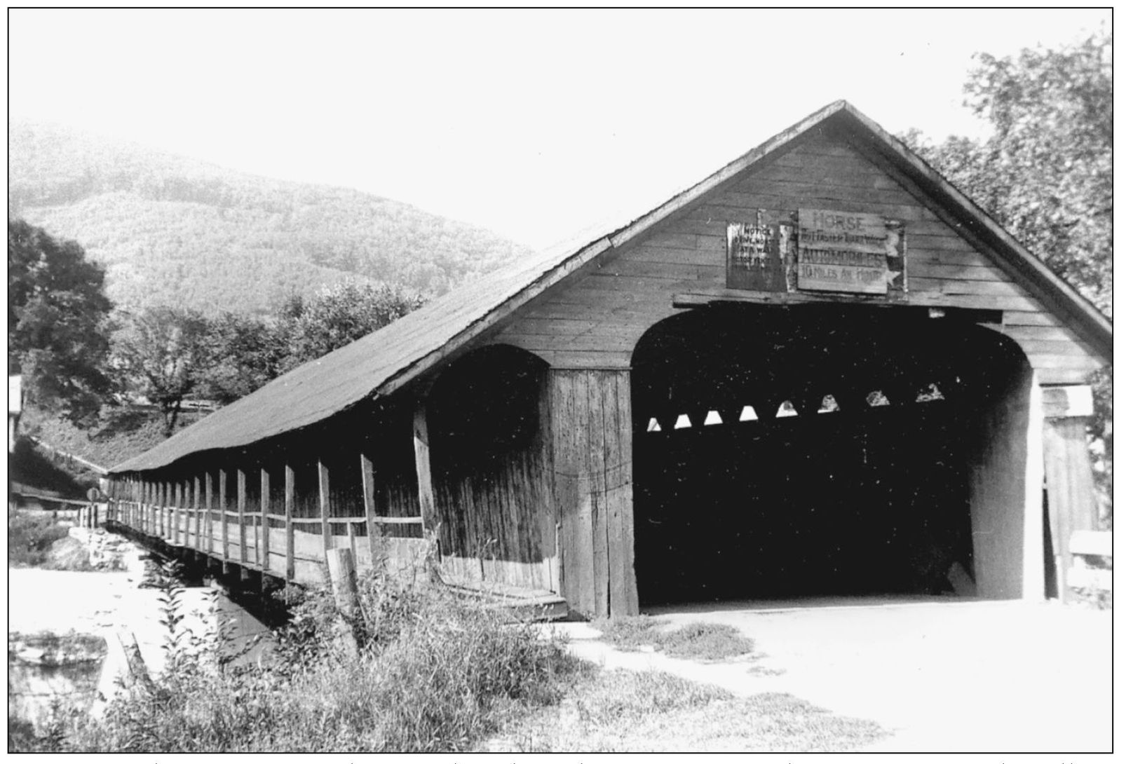
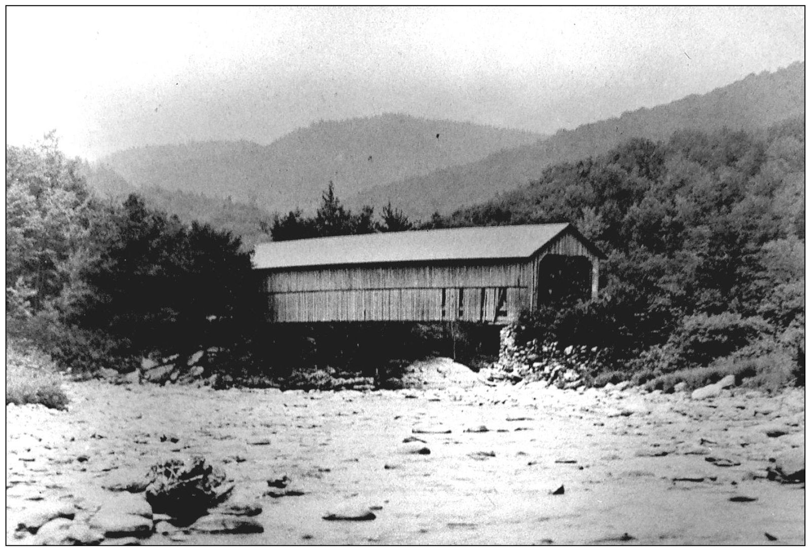
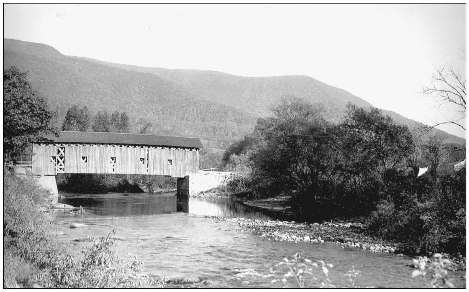
Bennington County is located in Vermonts southwest corner, and most of the covered bridge history involves the Hoosic River, the Walloomsac River, and the Batten Kill (not the Batten Kill River, which is redundant as kill is a local word of Dutch origin and means river). These streams flow westward toward the Hudson River, and there is much related covered bridge history over the state line in Washington County, New York. The southeastern part of the county is drained by the Deerfield River, which flows south into Massachusetts. Most of Rutland Countys waters eventually reach Lake Champlain. Clarendon, just south of Rutland, was home to Vermonts best-known covered bridge builder, Nichols Montgomery Powers, several of whose bridges still serve traffic in the region. North Pownal Bridge, shown here, crossed the Hoosic River in Vermonts southwest corner. It is thought to have been built in the 1830s by Noel Barber, who also built a covered bridge at nearby Pownal. After serving for over a century, it was lost in the hurricane of 1938. (Richard Sanders Allen, c. 1937.)

Here is another view of North Pownal Bridge The river name is the Hoosic - photo 4

Here is another view of North Pownal Bridge. The river name is the Hoosic River, the village over the state line in New York is Hoosick, and the mountain with its famous railroad tunnel in western Massachusetts is Hoosac. (Richard Sanders Allen.)

Pownal Bridge is thought to have been another Noel Barber product built in - photo 5

Pownal Bridge is thought to have been another Noel Barber product, built in 1834 or slightly afterward. It was torn down in 1949. (Henry A. Gibson, April 25, 1943.)

Upper Bridge in Searsburg crossed the Deerfield River on a remote back road to - photo 6

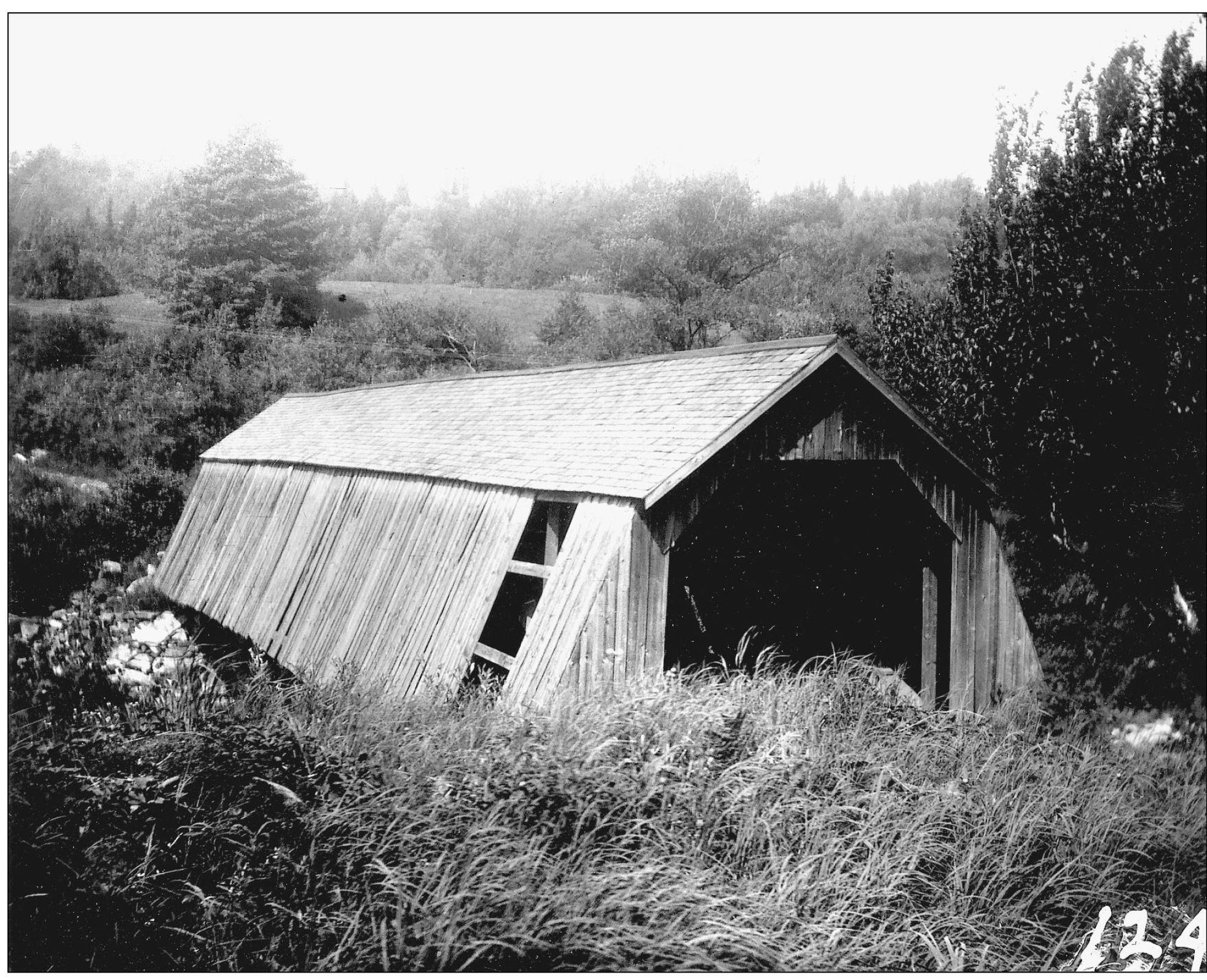
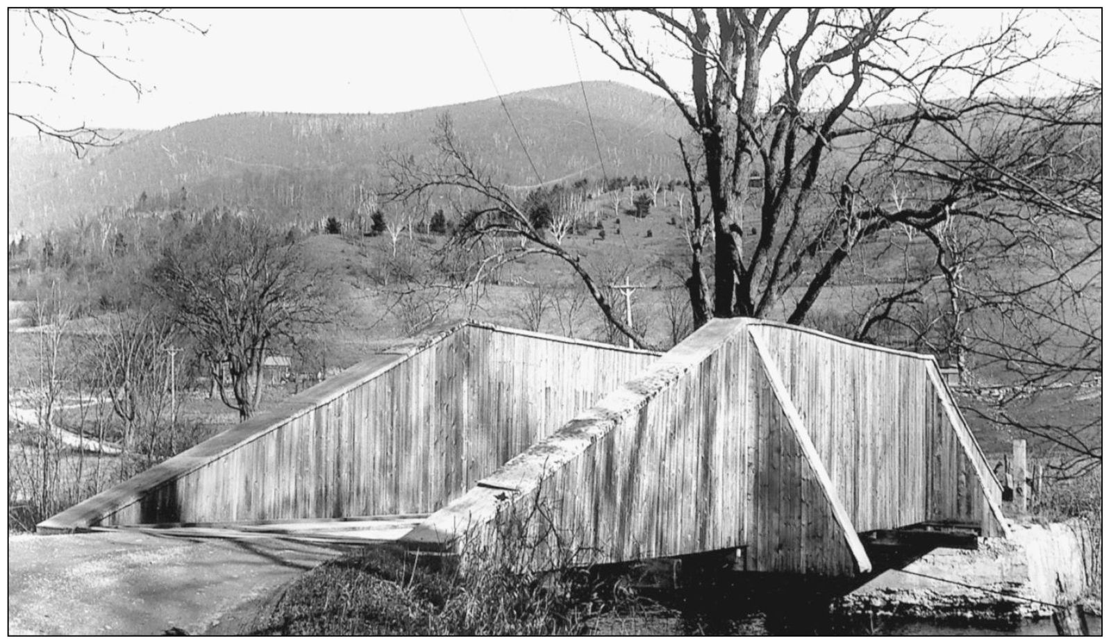
Upper Bridge in Searsburg crossed the Deerfield River on a remote back road to Somerset. It was removed for the construction of Searsburg Reservoir in 1915. The radically flared siding style was common in southern Oregon but very unusual in Vermont. It may have protected flying buttresses, or it may have been intended simply to direct rain runoff far from the critical lower chords of the truss. (Richard Sanders Allen collection.)

Lower Bridge crossed the Deerfield River on state Route 9 about two miles - photo 7

Lower Bridge crossed the Deerfield River on state Route 9, about two miles southeast of the village of Searsburg. (Oscar Lane notebooks.)

Henry Bridge located over the Walloomsac River near North Bennington was - photo 8

Henry Bridge, located over the Walloomsac River near North Bennington, was built c. 1840. It was torn down in 1989 and replaced with a replica built in the same style but with all new timber. (Henry A. Gibson, April 11, 1943.)

Due to heavy loads from the nearby iron industry Henry Bridge was reinforced - photo 9

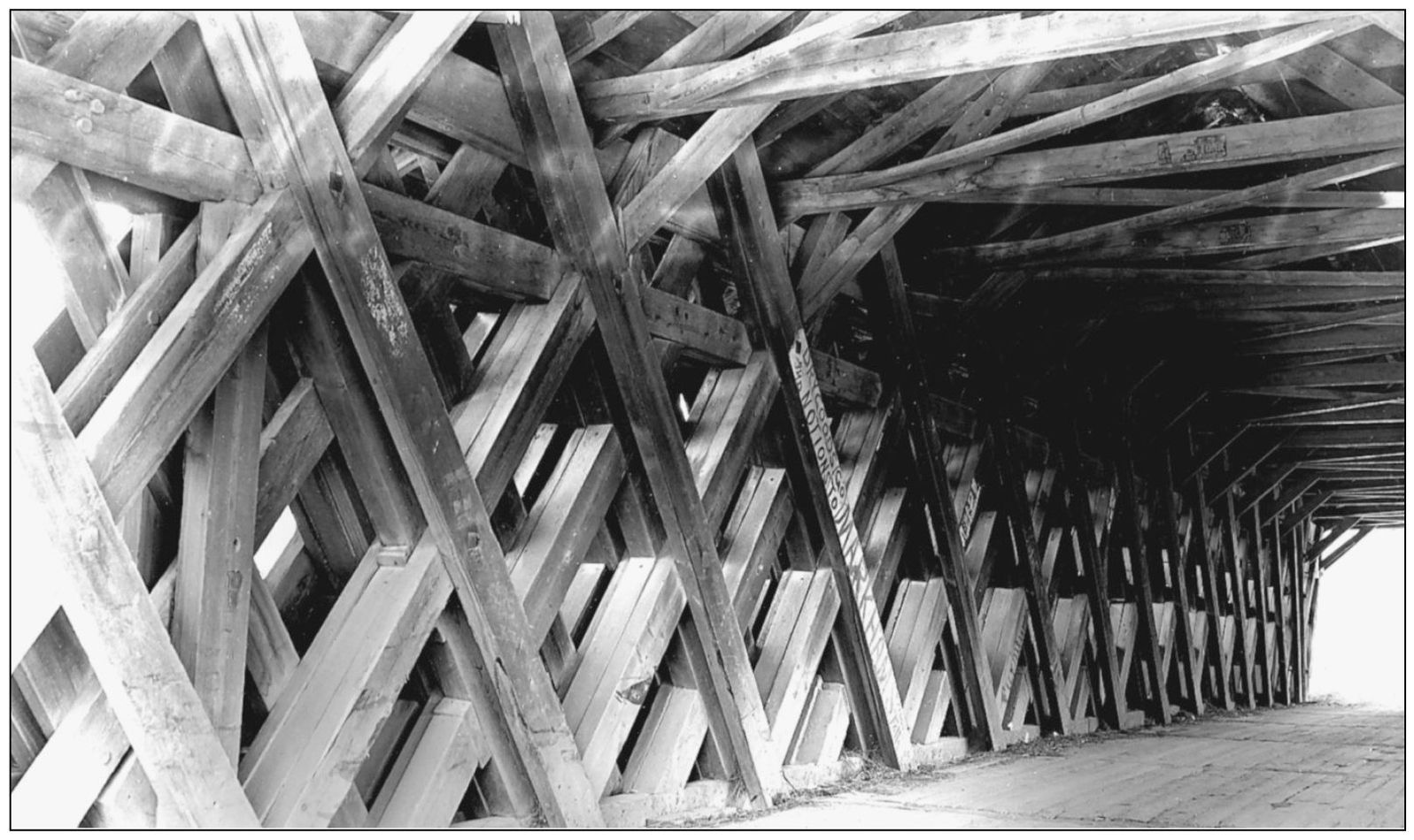
Due to heavy loads from the nearby iron industry, Henry Bridge was reinforced with additional truss work not long after it was built. The additions were poorly designed and were removed during repairs in 1952. (Henry A. Gibson, April 11, 1943.)

A view underneath the old Henry Bridge shows its floor system which was - photo 10

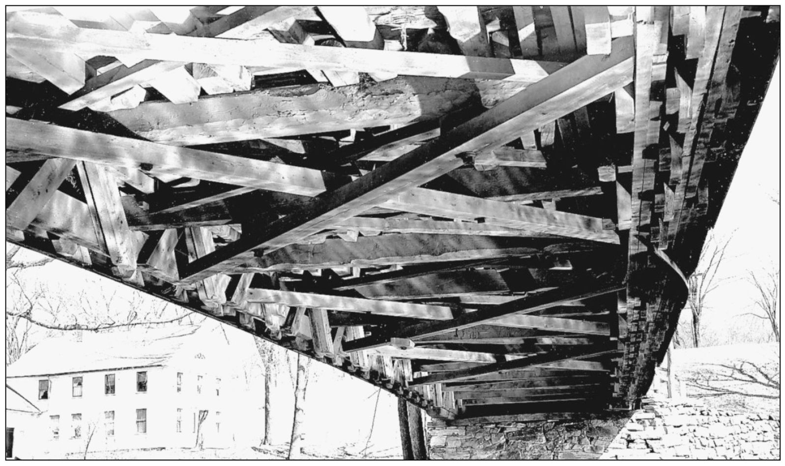
A view underneath the old Henry Bridge shows its floor system, which was complicated by the additional truss work. (Henry A. Gibson, April 11, 1943.)

West Arlingtons 1852 vintage covered bridge still carries travelers over the - photo 11

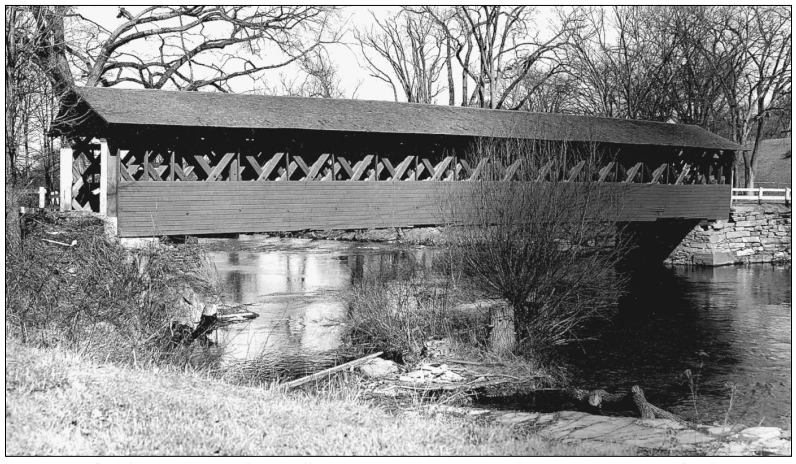
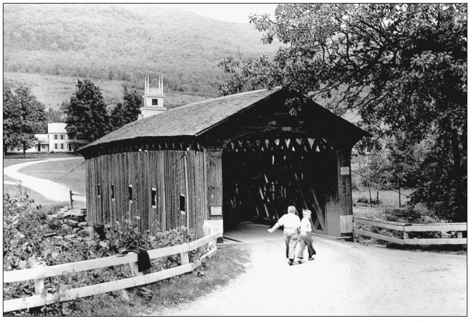
West Arlingtons 1852 vintage covered bridge still carries travelers over the Batten Kill near the former home of artist Norman Rockwell. (Henry A. Gibson, August 29, 1943.)

West Arlingtons covered bridge has been painted red for about a half-century - photo 12

West Arlingtons covered bridge has been painted red for about a half-century, and most people have forgotten that it was once unpainted. (Richard Sanders Allen collection.)

Vermonts boxed pony trusses were close historical relatives of covered bridges - photo 13

Vermonts boxed pony trusses were close historical relatives of covered bridges, but they lacked the romantic appeal of the other bridges, and none are left today. Benedicts Crossing spanned the Batten Kill between Arlington and West Arlington. An interesting non-covered, polygonal timber arch bridge now serves the site. (Richard Sanders Allen, November 9, 1941.)

McCauley Bridge crossed the Roaring Branch of the Batten Kill about one mile - photo 14

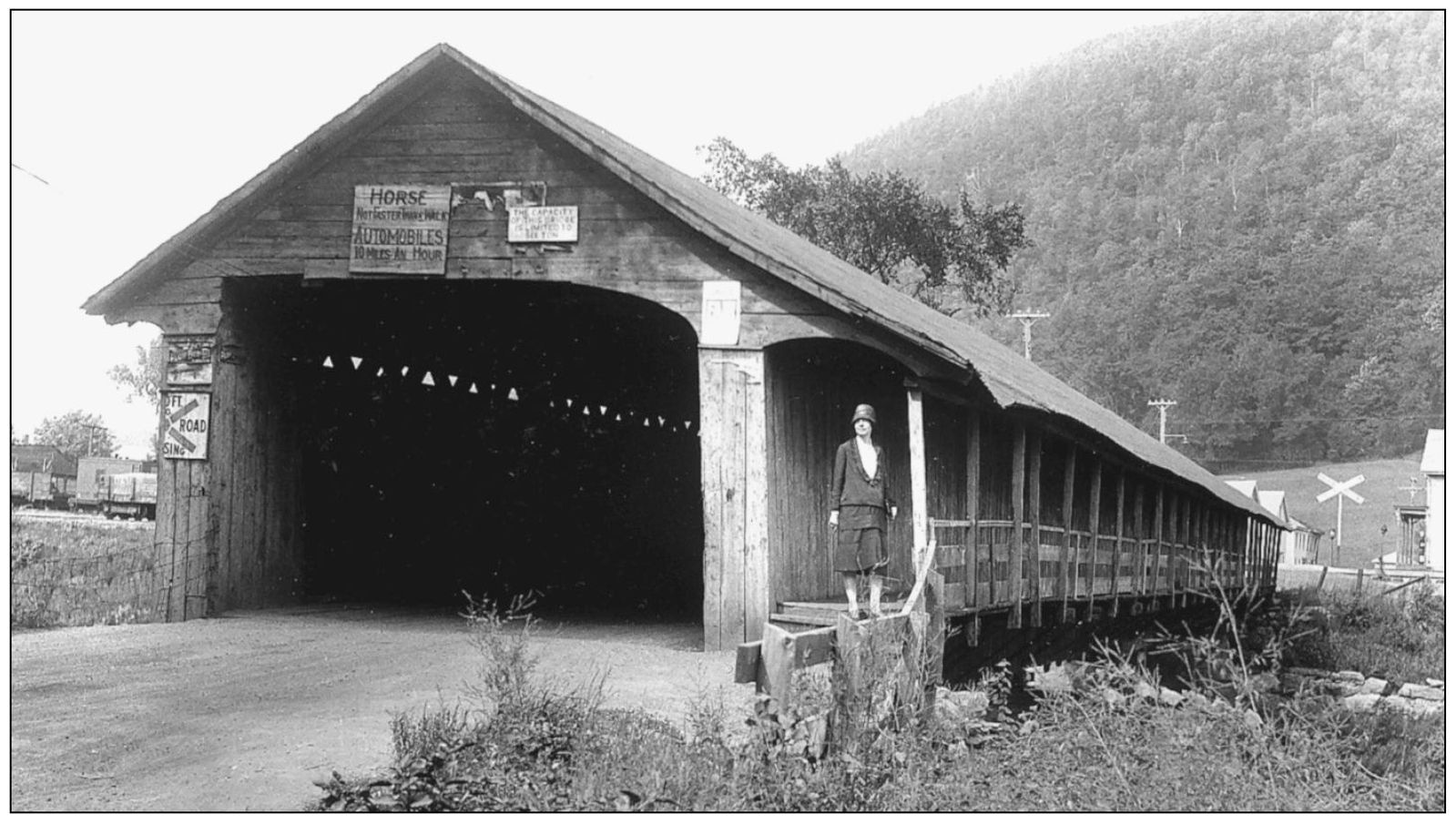
McCauley Bridge crossed the Roaring Branch of the Batten Kill about one mile north of the village of Arlington. It was built in 1856 and lost in the great flood of 1927. The rustic-looking road later became U.S. Route 7. Today, it is known as the Historic Route 7A. (Oscar Lane notebooks.)

Chiselville Bridge is located near East Arlington but is over the town line in - photo 15

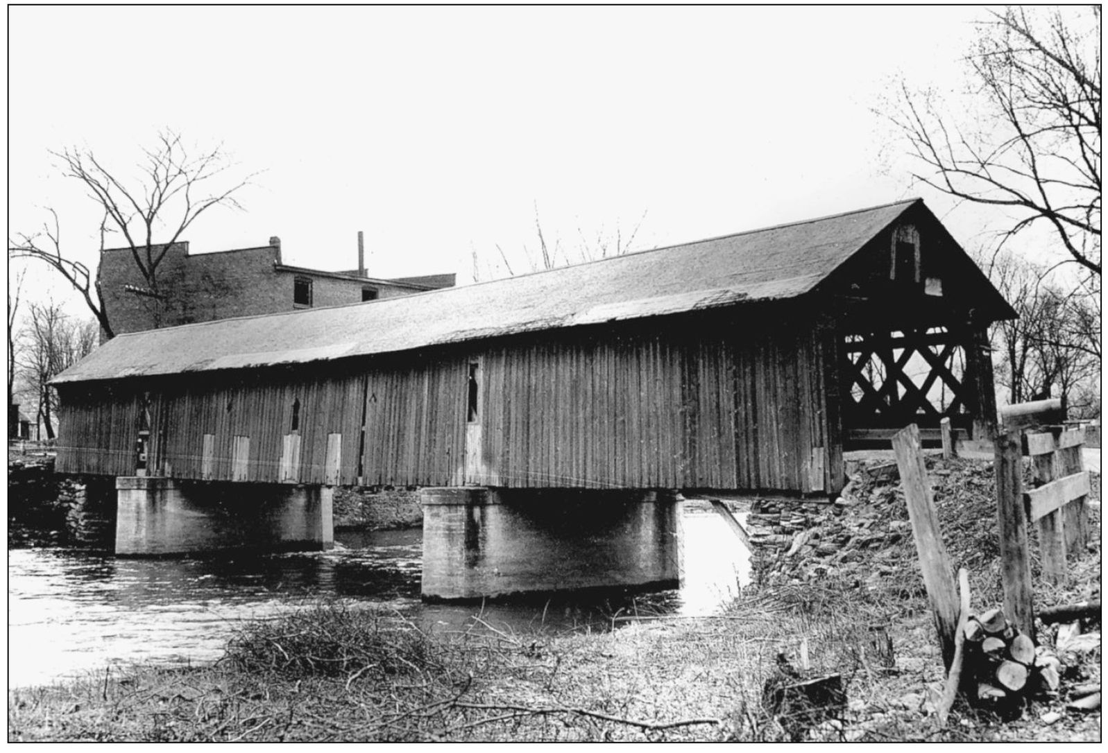
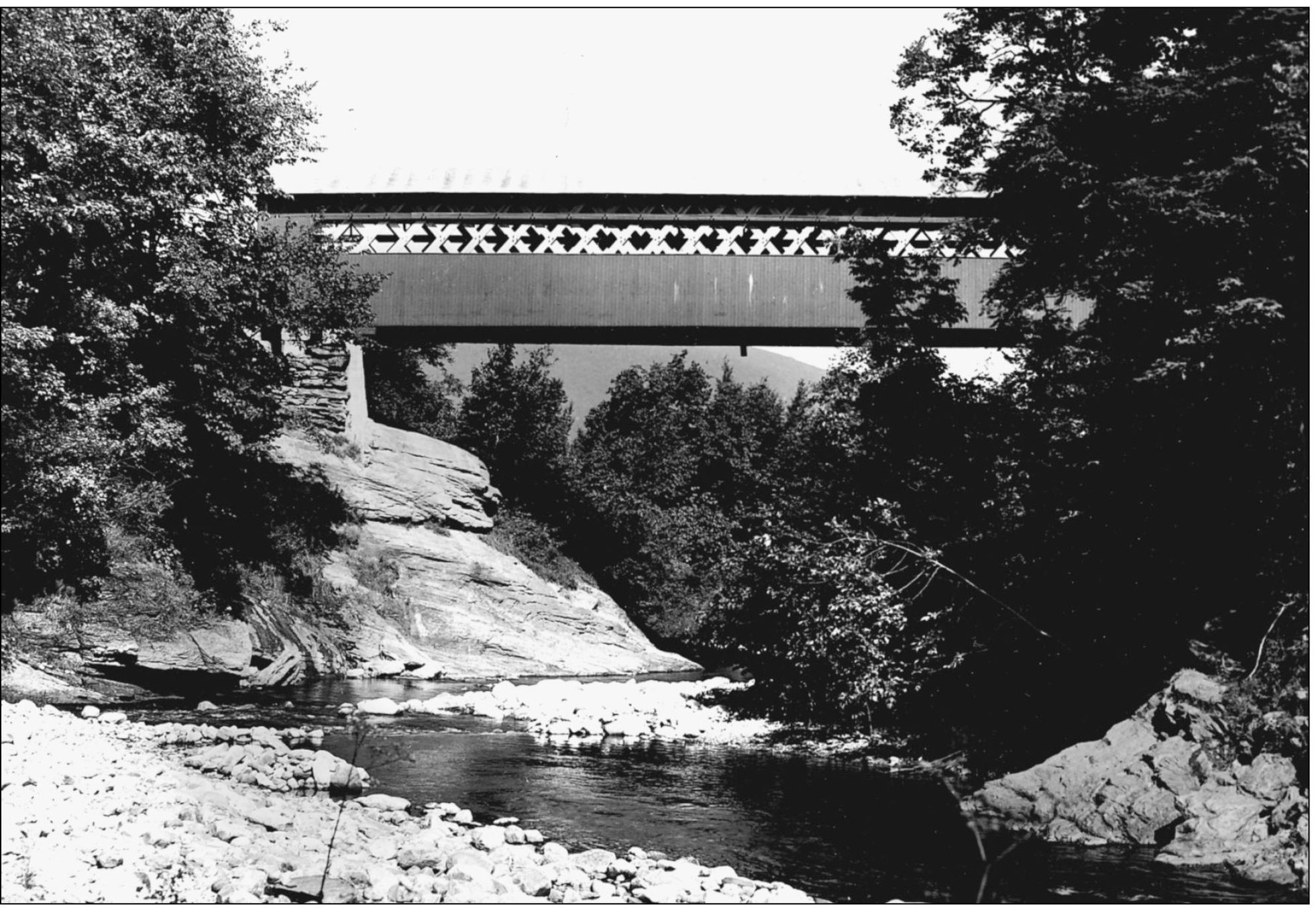
Chiselville Bridge is located near East Arlington but is over the town line in Sunderland. Today, the side view of the bridge is much less magnificent than this one, as the structure is now propped from below by concrete pilings. (Henry A. Gibson, August 29, 1943.)

Next page
Light

Font size:

Reset

Interval:

Bookmark:

Make

Similar books «Vermont Covered Bridges»

Look at similar books to Vermont Covered Bridges. We have selected literature similar in name and meaning in the hope of providing readers with more options to find new, interesting, not yet read works.


Reviews about «Vermont Covered Bridges»

Discussion, reviews of the book Vermont Covered Bridges and just readers' own opinions. Leave your comments, write what you think about the work, its meaning or the main characters. Specify what exactly you liked and what you didn't like, and why you think so.