ACKNOWLEDGMENTS
Several people have my gratitude for their help in compiling information for this book. Without the extensive historical photograph collection of the Saline Area Historical Society, creating this book would not have been possible. The society, particularly Wayne Clements, Agnes Dikeman, Mary Lironis, and Bob Lane. were very supportive. John Farmer shared maps and research material. Pauline Walters at the Washtenaw County Historical Society kindly allowed me to use photographs from the Judge Ross Campbell collection. The Bentley Historical Library at the University of Michigan was a wonderful source of information. Many thanks to the staff for their help, and for allowing me to copy photographs from the Sam Sturgis Collection. While no photographs were used from the Henry Ford Museum, the staff brought out numerous boxes of information and copied several articles for me. The staff at the Saline Library was, as always, willing to help. Kathie Glynn, my friend and business partner, co-authored an historical and architectural survey of Saline with me in 1993, and from that I culled some of my research material. My friend, Gladys Saborio, took on the difficult task of editing, for which I shall be forever grateful. Maura Brown, my editor, encouraged me when I needed it most. My husband, Tom, was a constant source of support and a wonderful cook.
Photo Credits :
Page 2: Washtenaw County Historical Society, Judge Ross Campbell Collection.
Page 4: Map from The Indians of Washtenaw County by W. B. Hinsdale
Chapter One: Map of Washtenaw County, Michigan by Bechler, Wenig & Co. (1856 Saline map reproduced with permission from the Genealogical Society of Washtenaw County, Michigan), the Washtenaw County Historical Society, Judge Ross Campbell Collection, the Saline Area Historical Society, and the authors collection.
Chapter Two: Saline Area Historical Society and Bentley Historical Library, Sam Sturgis Collection.
Chapter Three: Saline Area Historical Society and Bentley Historical Library, Sam Sturgis Collection. Map of Washtenaw County, Michigan by Bechler, Wenig & Co. (1864 Saline map reproduced with permission from the Genealogical Society of Washtenaw County, Michigan)
Chapter Four: Saline Area Historical Society.
Chapter Five: Saline Area Historical Society and Washtenaw County Historical Society, Judge Ross
Campbell Collection.
Chapter Six: Saline Area Historical Society.
Chapter Seven: Saline Area Historical Society and Bentley Historical Library, Sam Sturgis Collection.
Find more books like this at
www.imagesofamerica.com
Search for your hometown history, your old
stomping grounds, and even your favorite sports team.
One
SETTLEMENT FROM THE 1820S TO 1850
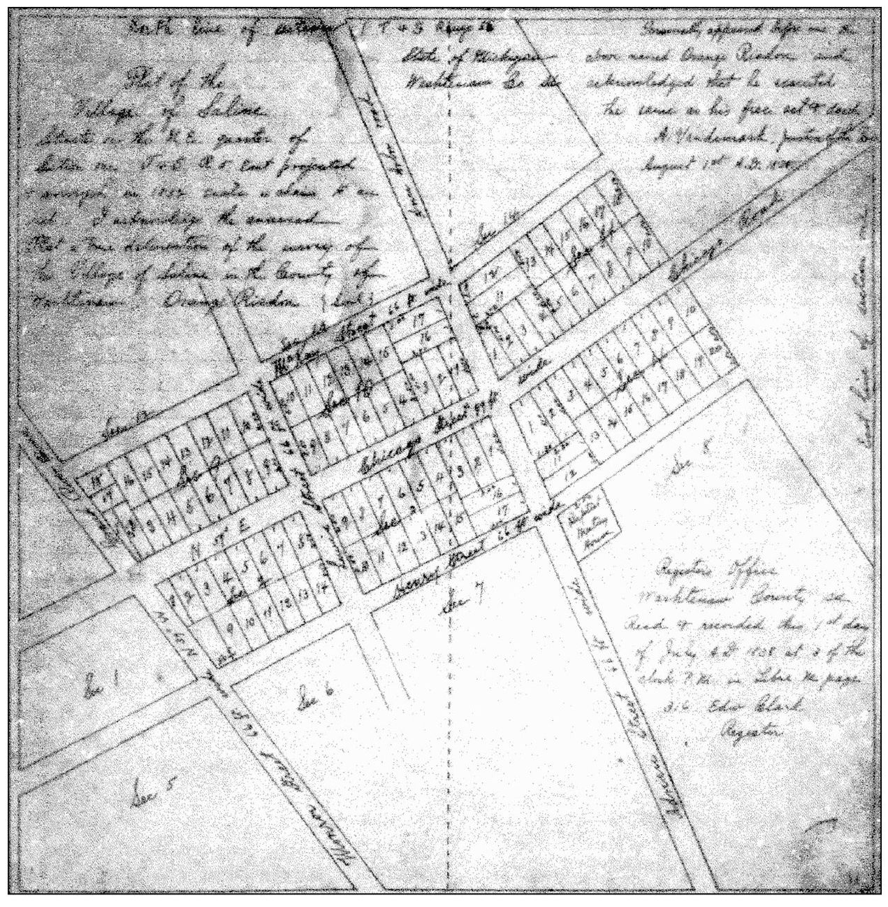
Land purchased by Orange Risdon became the site of the original hamlet of Saline, which he surveyed and platted in 1832. The community was three blocks north and three blocks south of the Chicago Road (now Michigan Avenue). Adrian Street (now S. Ann Arbor Street) and N. Ann Arbor Street formed a north-south intersection. Risdon recorded the plat in 1838.
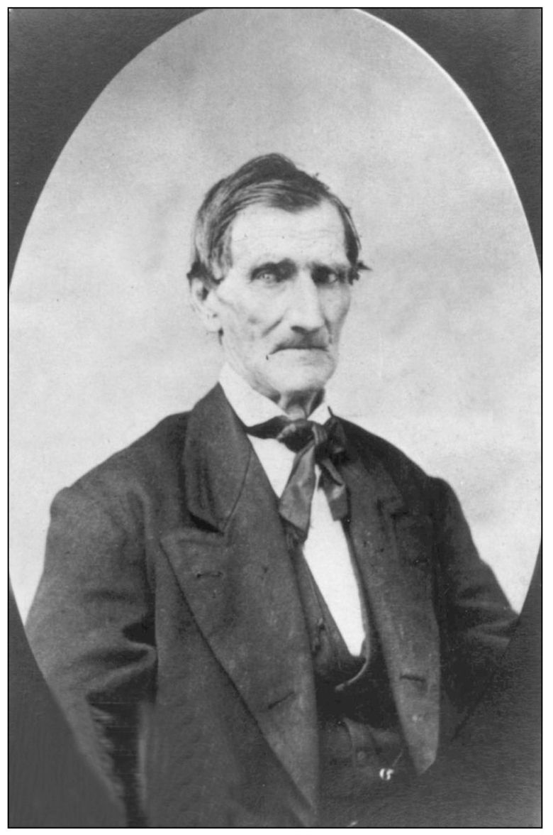
Orange Risdon (17861876) was born in Rupert, Vermont on December 28, 1786. As a young man he studied navigation and surveying. He then worked as a surveyor, assessor, and as a navigator on a Great Lakes ship. Congress, on a motion by Father Gabriel Richard in 1824, voted $3,000 for the survey of the Detroit to Chicago Road. Orange Risdon was hired to do the surveying. The survey of the road, now US-12, along with the opening of the Erie Canal in 1825, provided better access to areas of Michigan that were eventually to be settled.
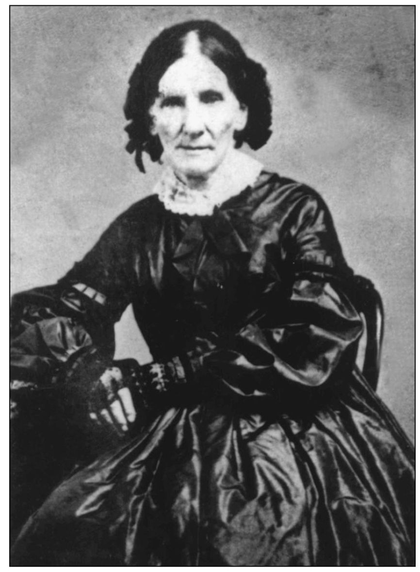
Sally Newland Risdon, from Wilton, New York, married Orange Risdon in Stillwater, New York in October 1817. They were the parents of six children by the time they finally settled in Saline in 1829. Sally and Orange Risdon built a silkworm factory at 111 N. Ann Arbor Street; the building was demolished in 1957.
Surveyor Orange Risdon passed through the Saline area in 1823, and in 1824, was among the first to obtain property in Saline Township, much of which he eventually donated for schools, churches, and the Oakwood Cemetery. In 1829, he built this Federal style clapboard house for his wife, Sally, and six children. The house, in addition to sheltering the family, was used as a post office, an inn, a store, and was the location of the first Saline Township meeting. It was also rumored that the house sheltered slaves traveling on the Underground Railroad. Mr. Risdon lived in his home until the age of 90. Originally located on a hill that is now part of Oakwood Cemetery, it has since been moved to 210 W. Henry Street.
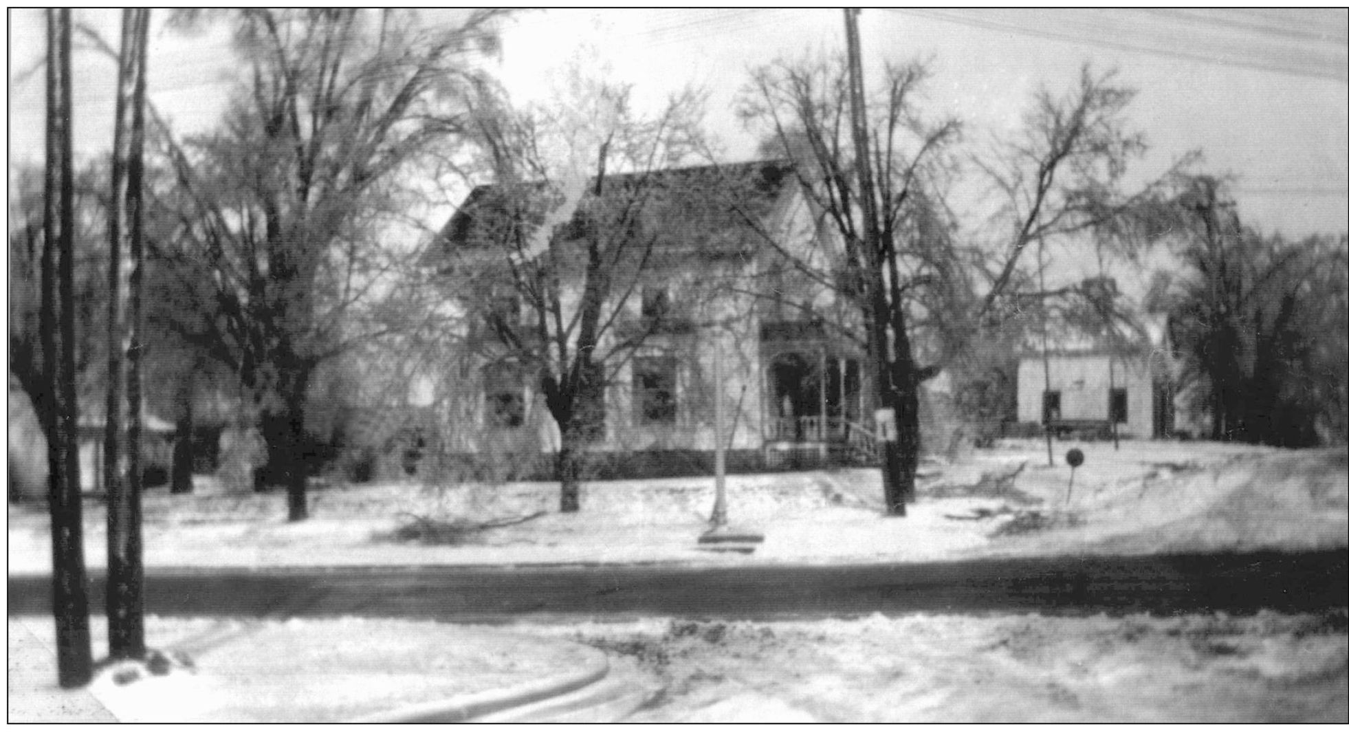
Orange Risdon purchased the land for this house at 101 N. Lewis from the United States government on April 5, 1825. Family history indicates that Risdon lived in this house until his wife and family came to Michigan a few years later.
Orange Risdon built this livery barn behind the house at 101 N. Lewis. Its location near the Chicago Road made it handy for commuters to stable their horses and for horse-drawn sleighs and wagons to be rented to travelers. Moved near the depot in 1990, it is now part of a museum complex operated by the Saline Area Historical Society. Several other extant nineteenth century livery barns are among Salines architectural treasures.
In 1829, Orrin Parsons constructed the first known house to be built within the current boundaries of Saline Township on the plank Saline-Monroe Road (now Mooreville Road). He also built a sawmill in 1827 (with his brother, Chester), and a gristmill in 1836. A brickyard that made bricks for Salines early buildings was operated on the farm. Orrin Parsons and his wife were the parents of six children. According to rumor, a secret underground tunnel on the property sheltered slaves traveling on the Underground Railroad.

