Chapter 1
THE LAKES, ISLANDS, AND BAYS
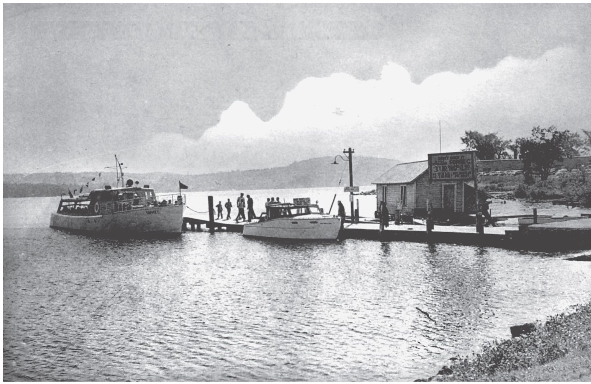
T he Sophie C. is shown at the Meredith town dock c. 1946. The sign over the small building reads, Dont Miss It! 3 hour Round Trip $1.50. 10:00 am & 1:00 pm. Buy tickets on the boat. In the distance is the new location of the St. Charles Catholic Church. Today that property is known as Church Landing. Meredith Village, located on Meredith Bay, has become a magnet for the tourist. The Native Americans marked this spot as a favorite campsite; there were sandy beaches where they could land canoes, and a spring where they could get clear, cold water. Today there are many town docks to welcome visitors to Meredith.
T he Sophie C, At Dock, Meredith, Lake Winnipesaukee, N. H.
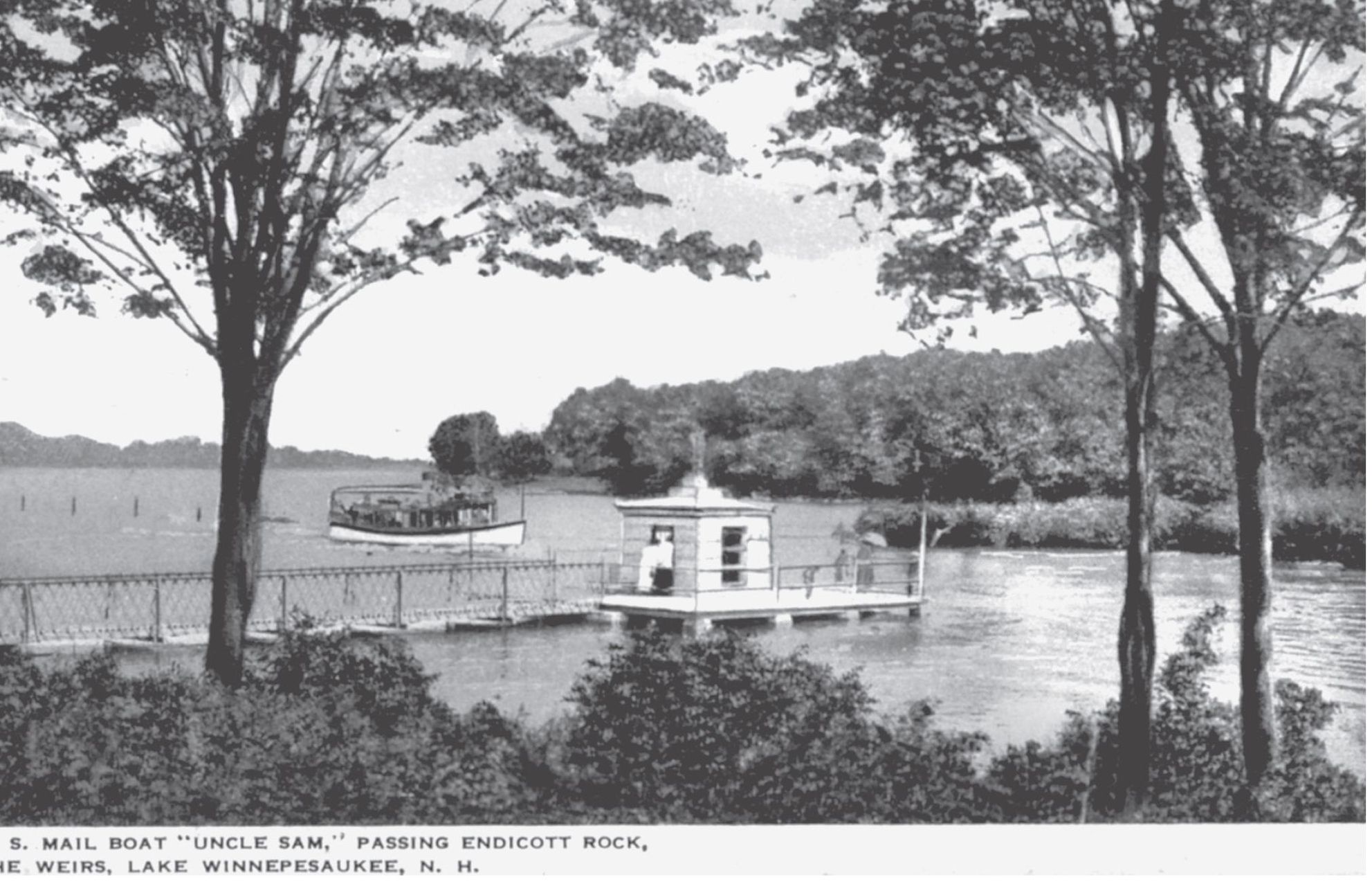
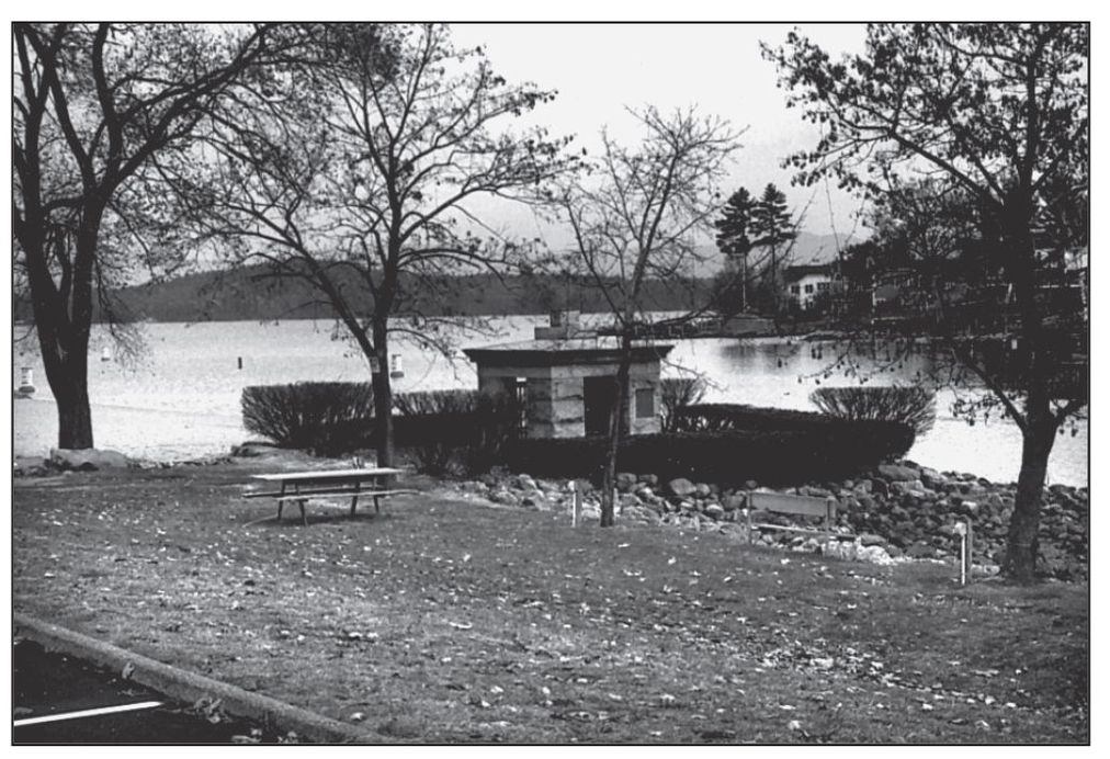
I n 1652, the Massachusetts Bay Colony sent a delegation to learn the northernmost boundary of the territory. The members of the delegation chiseled the name of Gov. John Endicott on a large round-topped boulder near the mouth of the Lake Winnipesaukee outlet. For 181 years, the boulder was apparently forgotten. It was rediscovered in 1833, and the state enclosed it in a granite structure in 1892. The Endicott Rock Monument, located at the Weirs, is also an old boundary for Meredith Bridge. In the earlier image, a steamer is seen entering the Weirs Channel. Today the monuments site is enclosed by filled land.
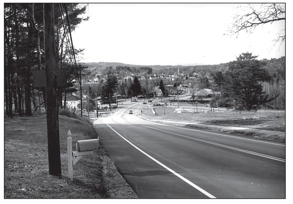
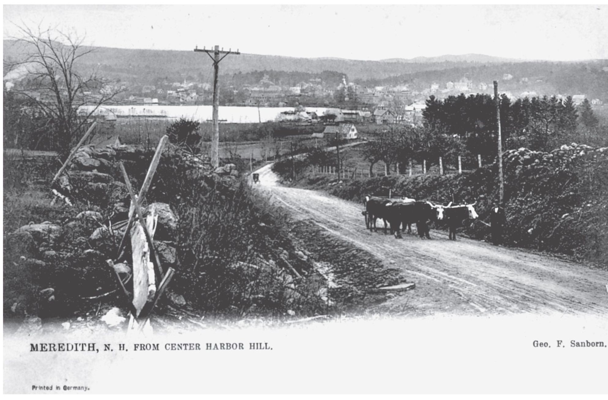
T his is how Meredith Village appeared from Center Harbor in the late 1800s. The traveler into this picturesque and rural scene would certainly find a sense of peace in these natural surroundings. In 1850, the new road to Center Harbor was built. Guide boards were made and erected at the road intersections. Today this a major highway (Route 25) that proceeds east to Center Harbor and Moultonboro, and Portland, Maine.
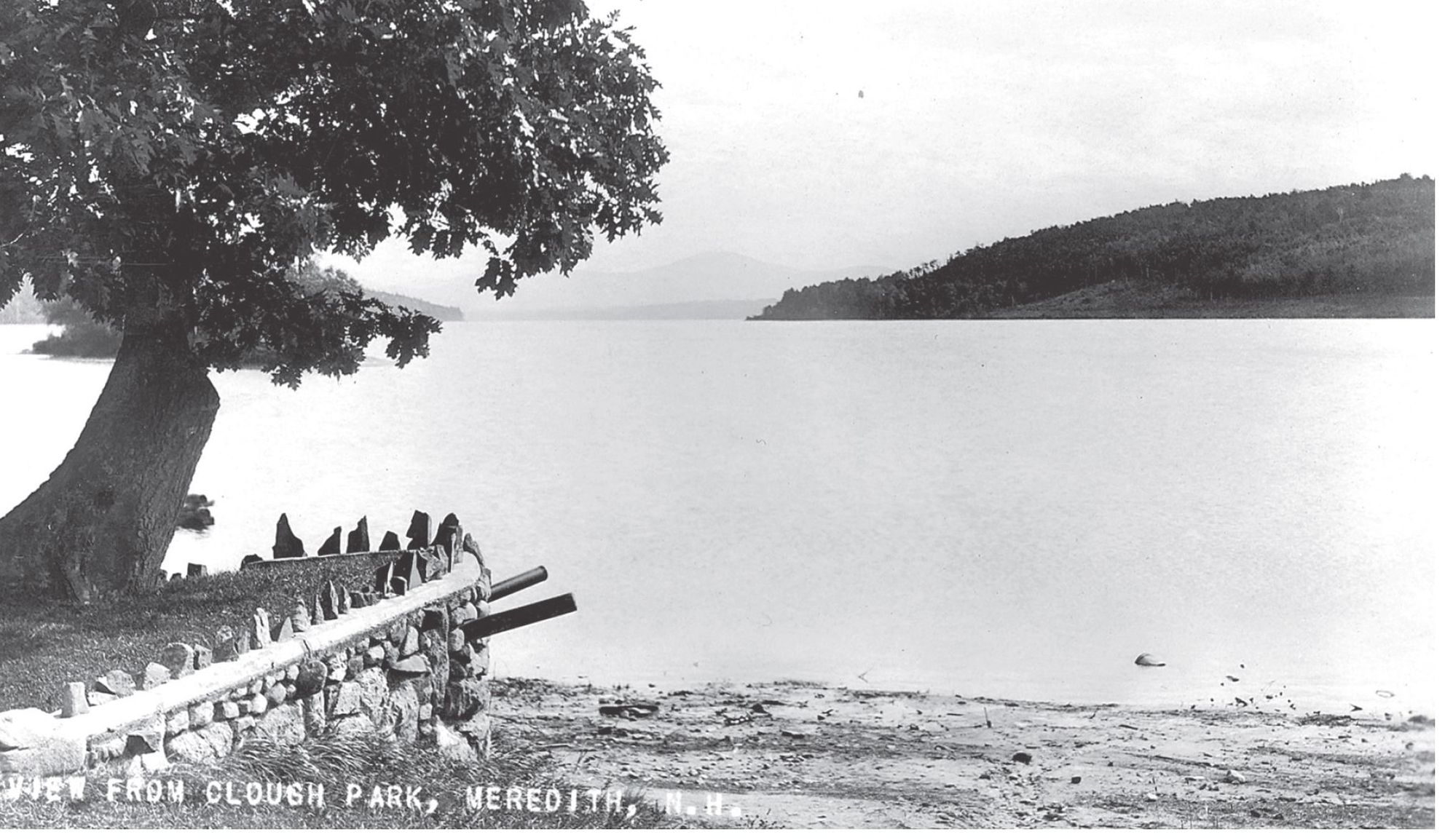
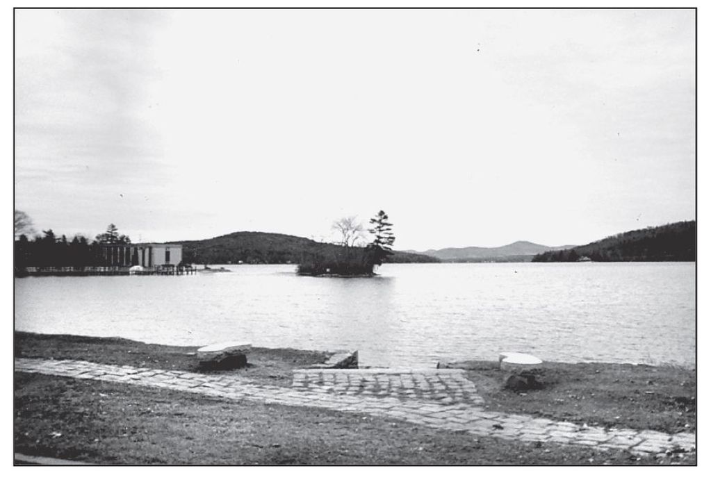
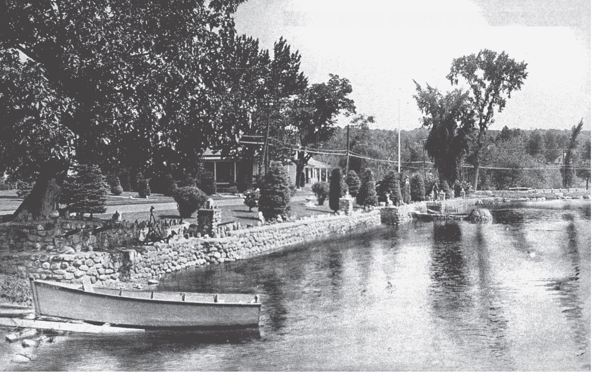
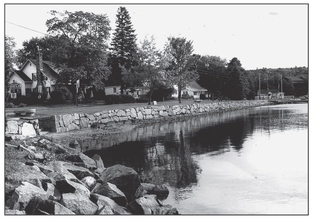
W e are looking at an early landmark on Meredith Baythe Old Oak. In the early 1900s, Clough Park underwent many renovations, and the oak stood here as a landmark for Meredith. At some point, however, the oak disappeared and an open view of the bay is now seen from the park. Meredith Bay rightfully boasts of its scenic attraction, as seen here from Clough Park, with Meredith Bay commanding as it does the mountains, lakes, and island views. Today this natural vista is maintained by preserving the reasonable, well-planned growth of the towns shore.
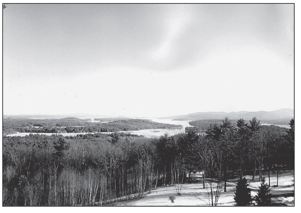
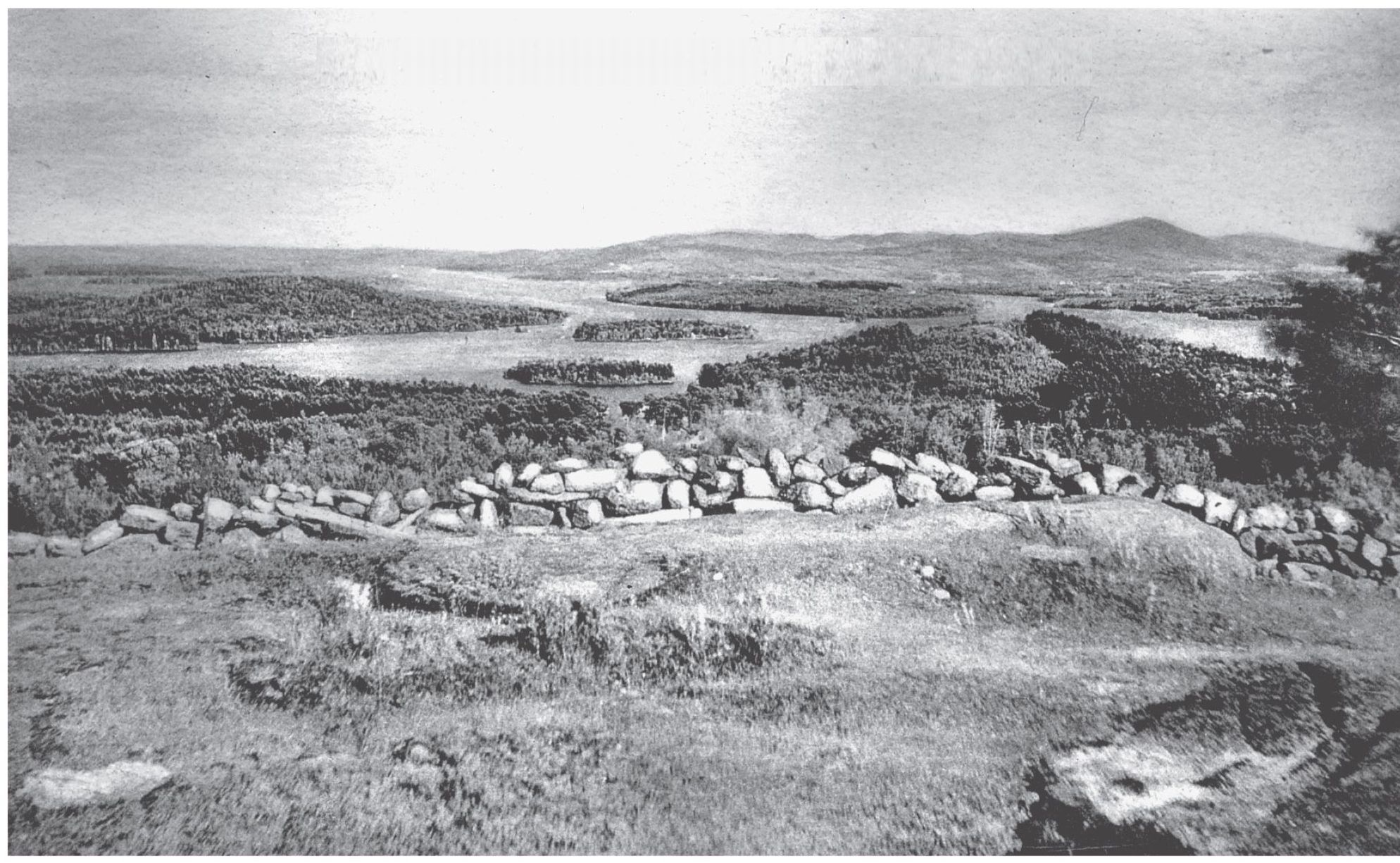
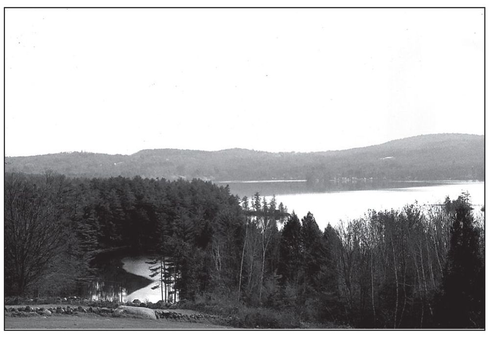
T his distant southeasterly view of Lake Winnipesaukee overlooks the Broads. The scene was photographed from Pinnacle Park on Meredith Neck and Col. Charles H. Cummingss 350-acre Spindle Point estate. Lake Winnipesaukee, one of the largest freshwater lakes entirely situated within the borders of one state, has a perimeter of about 186 miles, a water surface of about 72 square miles, and a length of about 23 miles. The origin of the point may be traced to a 500-acre farm owned by John Eaton, which was later sold to his son John Morton Eaton. During the late 1800s, the younger Eaton sold the land to Cummings. In the distance is the Belknap Mountain Range. In 1859, there was no Pinnacle Park road, as exists today. Today a fine summer estate is located near the spot where the early photograph was taken, but now vegetation has replaced the farming pastures. The present-day picture was taken from the third floor of the estate.
LAKE WINNIPESAUKEE. N. H., FROM PINNACLE PARK, MEREDITH NECK
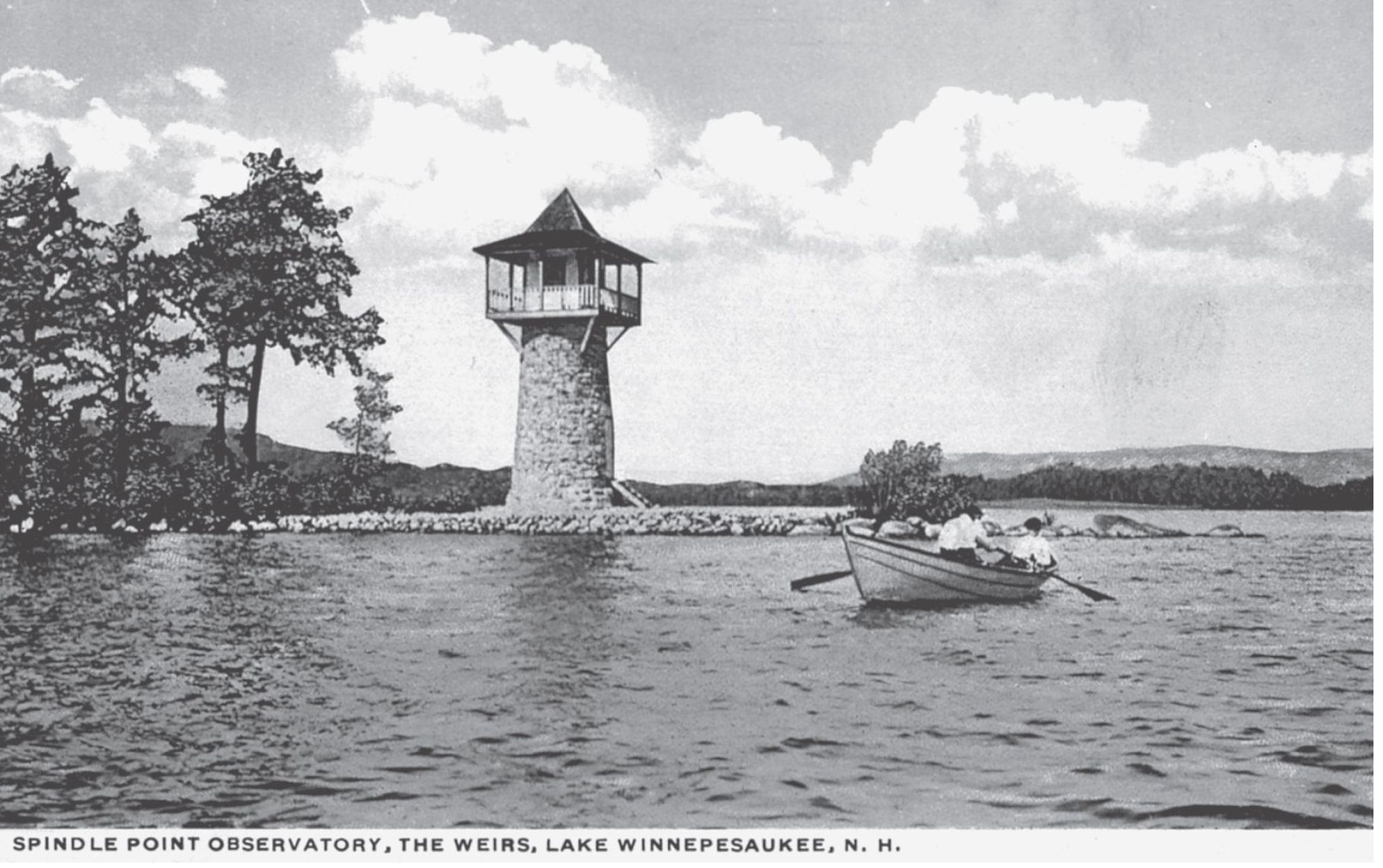
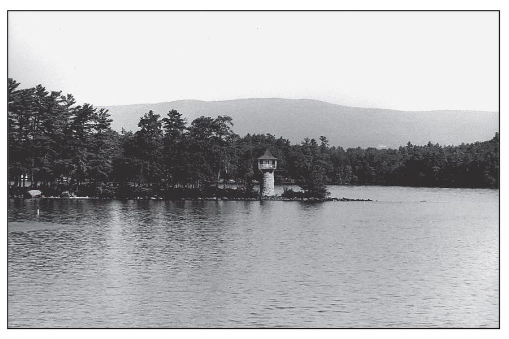
A t the north point of Weirs Bay, between Meredith Bay and Center Harbor, lies Meredith Neck, which extends into Lake Winnipesaukee. The first division of Meredith Neck, sloping from the Pinnacle, is known as Spindle Point. It is recognized by its lighthouse, which was constructed by Col. Charles Cummings as an art studio for his daughter. From this vantage point, we have an excellent view of the Belknap Mountain Range, the vast expanse of the Broads, and (to the east) the Ossipee Mountains, with Mount Shaw in full view. Today we see Lighthouse Point, which extends off Observatory Road on Meredith Neck as a beacon for navigators and tourists alike.
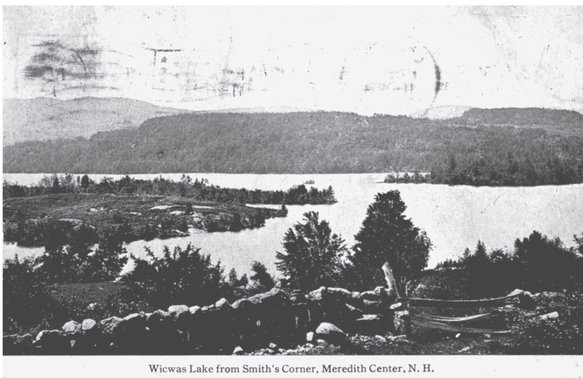
L ake Wicwas is seen from Smiths Corner in Meredith Center. This beautiful sheet of water has similar charms as Lakes Winnipesaukee and Winnisquam. Note the landscape change, from cultivated pastures to forest growth today.
CLOUGH PARK, MEREDITH, LAKE WINNIPESAUKEE, N. H.

