One
SQUAM LAKE AND LITTLE SQUAM LAKE
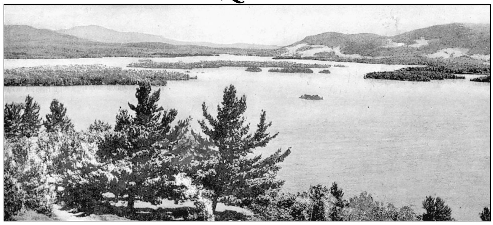
SQUAM LAKE FROM SHEPARD HILL. Native American folklore flourished throughout the Lakes Region. At the far end of Squam Lake, in the town of Sandwich, is a secluded arm of the lake called Squaw Cove. The cove took its name from a block of granite that on one side of its ledge bears the resemblance of a woman. The block has been removed, but the legend associated with it lingers. A Native American leader called Waunega had long been widowed when he fell in love with the young and graceful Suneta. Suneta lived across the lake with her father, who was a powerful sachem of an allied tribe. She loved a young man called Anonis, but her father favored his friend and ally Waunega. After the marriage feast, Waunega and Suneta paddled across the lake to the brides new home. Anonis was not at the marriage ceremony, but during a fearful storm in the night, Suneta suddenly felt the touch of a hand on her face and heard Anonis whisper to come with him. Awakened by the storm, the old Waunega missed his bride and went in search of her. A flash of lightning revealed the lovers in a canoe. Waunega discharged an arrow at his rival, who fell into the water. Suneta swam to a ledge where she called out for help from the Great Spirit. Waunega cried out, May the lightning blast her! Let the Manitou make of her an example to coming time. Hardly were the words out of his mouth when a crash thunder and a bolt of lightning caused the mountains and rocks to tremble. Terrified at the effect of his words, Waunega plunged into the water and perished. When morning dawned, the figure of a woman was visible on the rock where Suneta had clung.
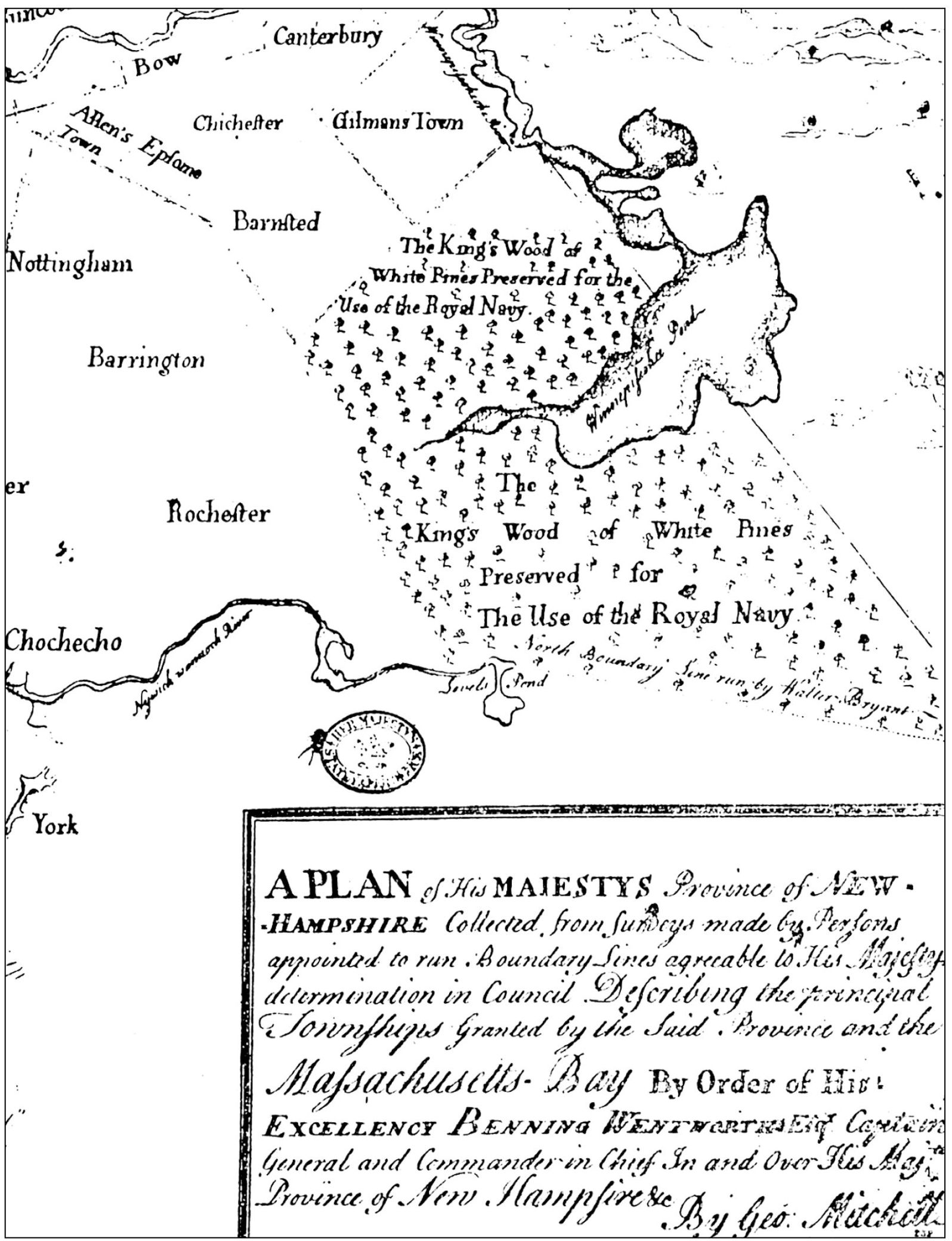
A PLAN OF HIS MAJESTYS PROVINCE OF NEW HAMPSHIRE. This plan was collected from surveys made by persons appointed to run the boundary lines agreeable to His Majestys determination in Council of Describing the principal townships granted by the said Province and the Massachusetts Bay by order of His Excellence Benning Wentworth, Esq., Captain General and Commander-in-Chief in and over His Majestys Province of New Hampshire. By Geo. Mitchell. The map was taken from the Crown Collection in the British Museum, Series III, No. 232; it is from a photograph that is currently in the Harvard College Library.
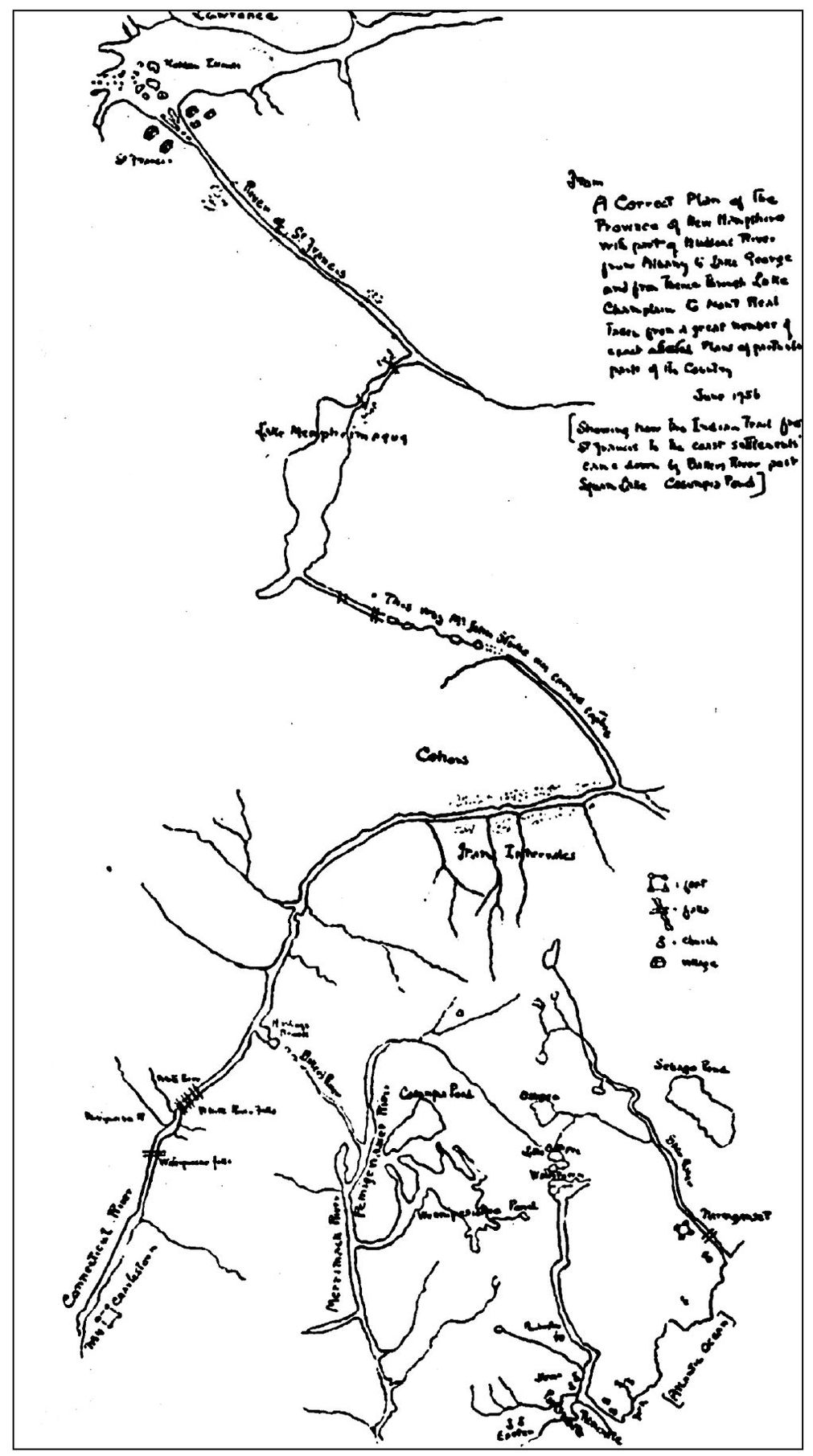
THE INDIAN TRAIL, 1756. Seen here is a correct plan of the Province of New Hampshire, with part of the Hudson River, Lake George, and Lake Champlain, from June 1756. This map indicates how the Native American trails from St. Francis to the settlement came down the Baker River, part of the Squam Lake region (Cosumpy Pond). Originally, the Abenaki Nation of the Algonquin Federation inhabited northern New England and the Province of Quebec. The dominant tribe in the Squam Lake area was the Penacook. The origin of the Indian name Squam was Kees-ee-hunk-nip-ee, meaning the goose lake in the highlands. However, the name was shortened by European settlers to Kusumy or Cosumpe, as it appeared on a map as late as 1781. It was also known as Asquam, meaning water. This name was again shortened to Squam and came into general use as first appeared on Philip Carrigains map of New Hampshire in 1816. Native American trails followed river and lake valleys. Squam and Little Squam Lakes were used for passage from the Pemigewasset River Valley to Lake Winnipesaukee via Lake Long Pond (Lake Kanasatka) via the Indian Carry.
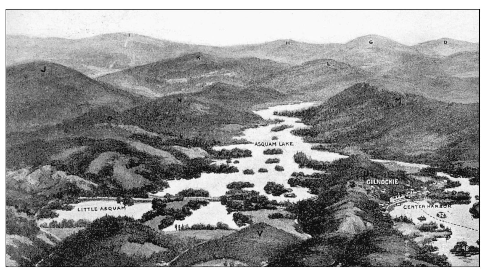
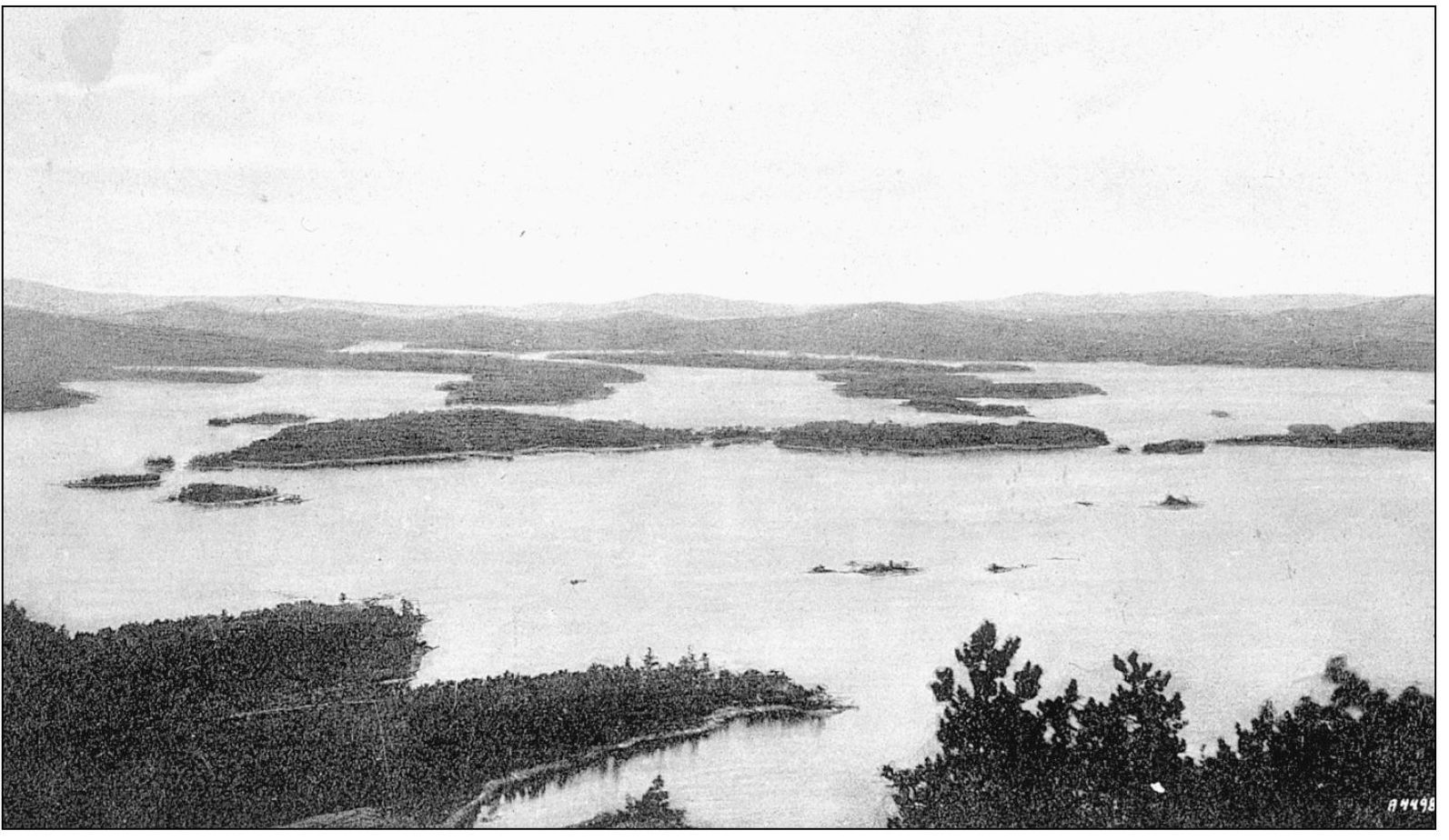
A BIRDS-EYE VIEW OF THE SQUAM LAKE REGION, 1910. Squam Lake is a splendid sheet of water, finely engraved with arched coves, studded with a succession of beautiful islands, and surrounded by lofty mountains.
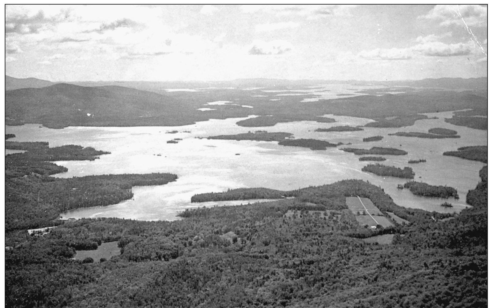
AN AERIAL VIEW OF THE SQUAM LAKE REGION, 1867. It is no wonder that the Native Americans were so strongly attached to this neighborhood, and that they fought so desperately before yielding the possession to the early settlers. The lower hills tempted them with abundance of game, and the calm water supplied them with unfailing stores of fish. The surpassing loveliness of the landscape served as a golden thread in the cord that bound them to this peaceful New England valley.
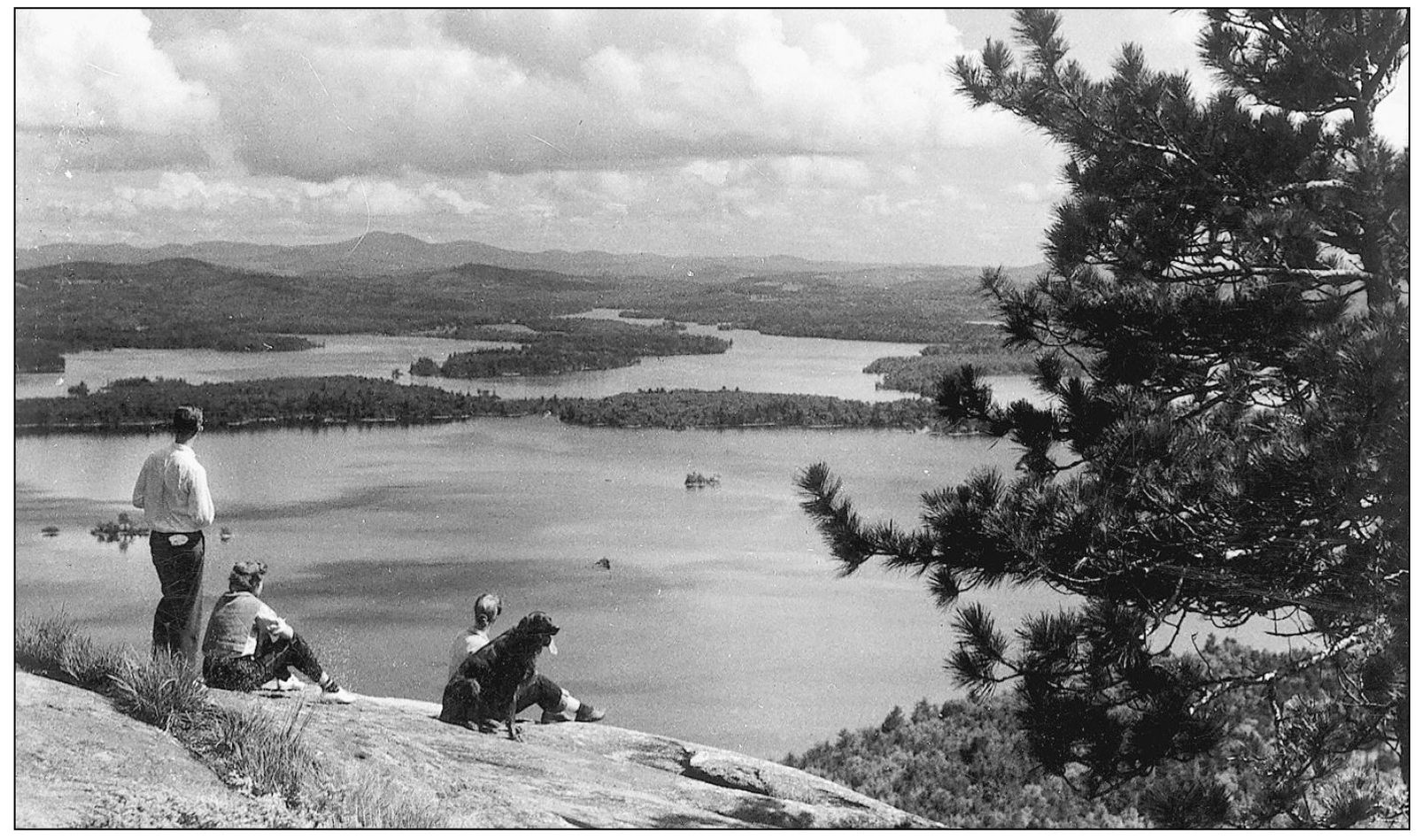
A VIEW OF SQUAM LAKE FROM RATTLESNAKE MOUNTAIN, ROCKYWOLD-DEEPHAVEN CAMPS, HOLDERNESS. One of the finest views of the vastness of this lake, and its many islands and surrounding mountain ranges, is seen from this mountain. Rattlesnake Mountain (Peaked Hill) is a double-headed spur of the Squam Range, which runs out nearly to the lake, with far-viewing ledges on its low, wooded crests.
SQUAM LAKE LOOKING SOUTH FROM EAST RATTLESNAKE MOUNTAIN. Seen in the center of the lake is Long Island. Most of the island is owned by the Coolidge family of Sandwich.
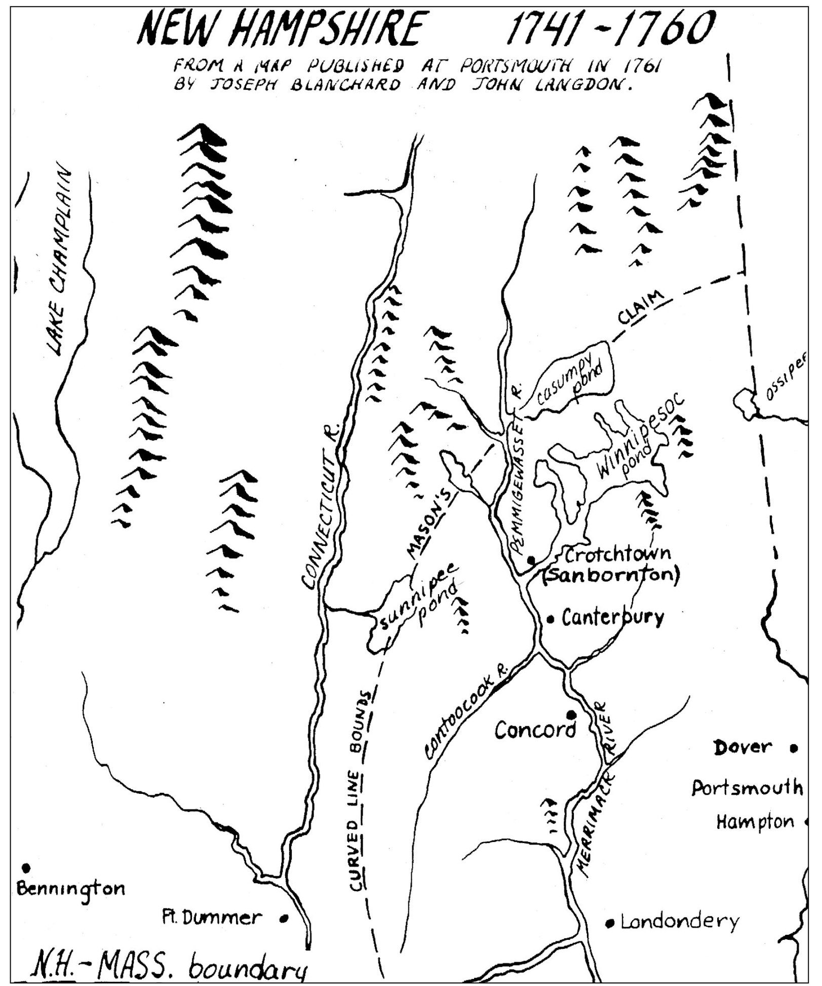
A MAP OF NEW HAMPSHIRE, 17411760. This image was taken from a 1761 map that was published in Portsmouth by Joseph Blanchard and John Langdon. Note the curved line which indicates Capt. John Masons claim as it passes through Cosumpy Pond, todays Squam Lake. As late as 1784, the lake was known as Cosumpy. The earliest map showing the Holderness region dates as far back as 1756. By 1781, the spelling of the lakes name appears to have changed to Kusumpe. By 1784, the Surveyor General of Lands for the Northern District of North America named this body of water Squam. In 1813, when Timothy Dwight, president of Yale, came through the Lakes Region, he decided that Squam was too barbaric and primitive a name, and he declared that we shall take the liberty to call it by the name of Sullivan from Major General Sullivan formerly president of the state. The name did not stick.

