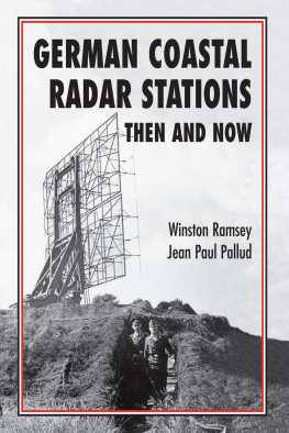
GERMAN COASTAL
RADAR STATIONS
THEN AND NOW
When I was asked in 1941 what good it was my collecting detailed intelligence on all German radar stations, I replied we were going back and those stations might stand between our success and failure.
PROFESSOR R. V. JONES, 1978
GERMAN COASTAL
RADAR STATIONS
THEN AND NOW
Winston Ramsey and Jean Paul Pallud
Credits
ISBN: 978 1870067 041
eISBN: 978 1 399076 333
First published in Great Britain in 2021 by After the Battle
Published again in 2021 by After the Battle,
An imprint of Pen & Sword Books Limited
Yorkshire Philadelphia
All rights reserved. No part of this book may be reproduced or transmitted in any form or by any means, electronic or mechanical including photocopying, recording or by any information storage and retrieval system, without permission from the Publisher in writing.
For a complete list of Pen & Sword titles please contact
PEN & SWORD BOOKS LIMITED
47 Church Street, Barnsley, South Yorkshire, S70 2AS, United Kingdom
E-mail: enquiries@pen-and-sword.co.uk
Website: www.pen-and-sword.co.uk
Or
PEN AND SWORD BOOKS
1950 Lawrence Rd, Havertown, PA 19083,
USAE-mail: Uspen-and-sword@casematepublishers.com
Website: www.penandswordbooks.com
Acknowledgements
This book could not have been completed without the help of Chris Ransted, Karel Margry, Editor of After the Battle, and my wife Gail. Thanks are also extended to Seb Cox of the Air Historical Branch, Bernard Paich and Peter Gunn. Photographs are also included from the After the Battle archive and from the collection of the Society for the Studies of the European Theater of Operations.
Editorial Note
In June 2002, esteemed aviation historian and author Bruce Robertson contacted me regarding an unpublished piece he had written on German Coastal Radars as he was hoping that we could include it in After the Battle. When the text arrived it was accompanied by a huge packet of plans, aerial photographs and descriptions covering over 60 radar stations sited by the Germans along the English Channel. These files had been prepared in 1943-44 as target material for the forthcoming invasion and straightaway I felt that it would be wasted if it was only used for a story in the magazine. Instead it warranted being published as a book.
In sending me his material, Bruce was aware that he did not have long to live but I promised him that we would publish his story although sadly publication has come too late for Bruce to enjoy the finished product as he died in May 2004.
Bruce was the author of nearly a hundred books on aviation subjects including the classic Harleyford series in the 1950s, so it is without question that the dedication of this book should be to his memory.
I have used Bruces original article as our introduction, while the late Professor R. V. Jones explains the rationale behind the creation of the actual intelligence files. The text that follows is the actual description prepared for attacking each individual target.
Finally, I am indebted to my co-author Jean Paul Pallud for spending countless hours establishing the present-day locations of the radar sites, and marking them on Google Earth cover, reproduced under licence.
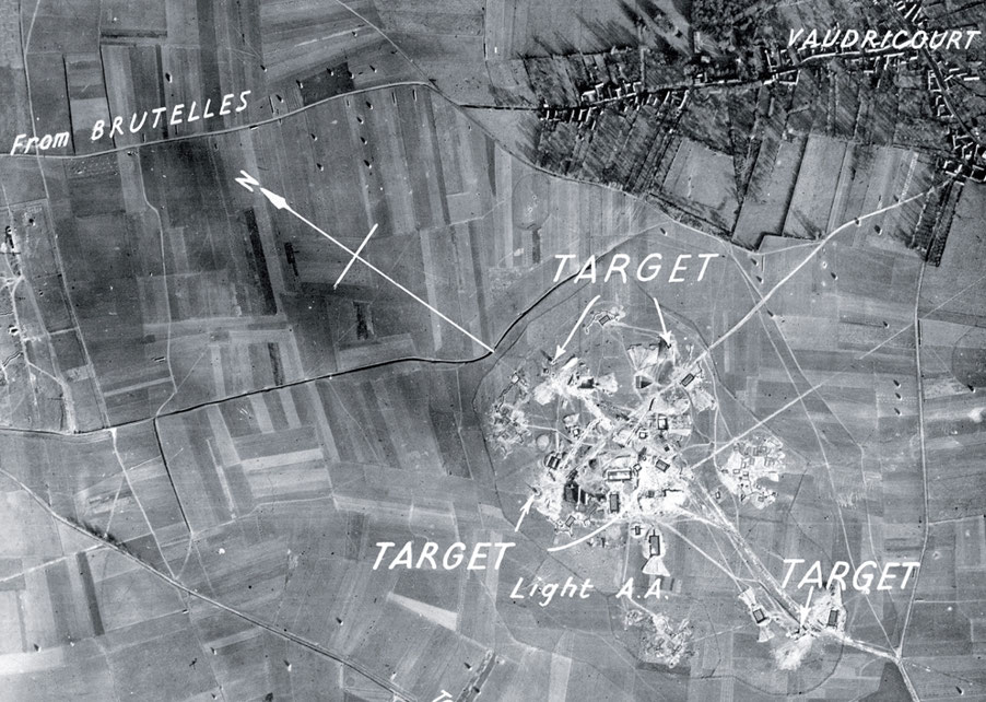
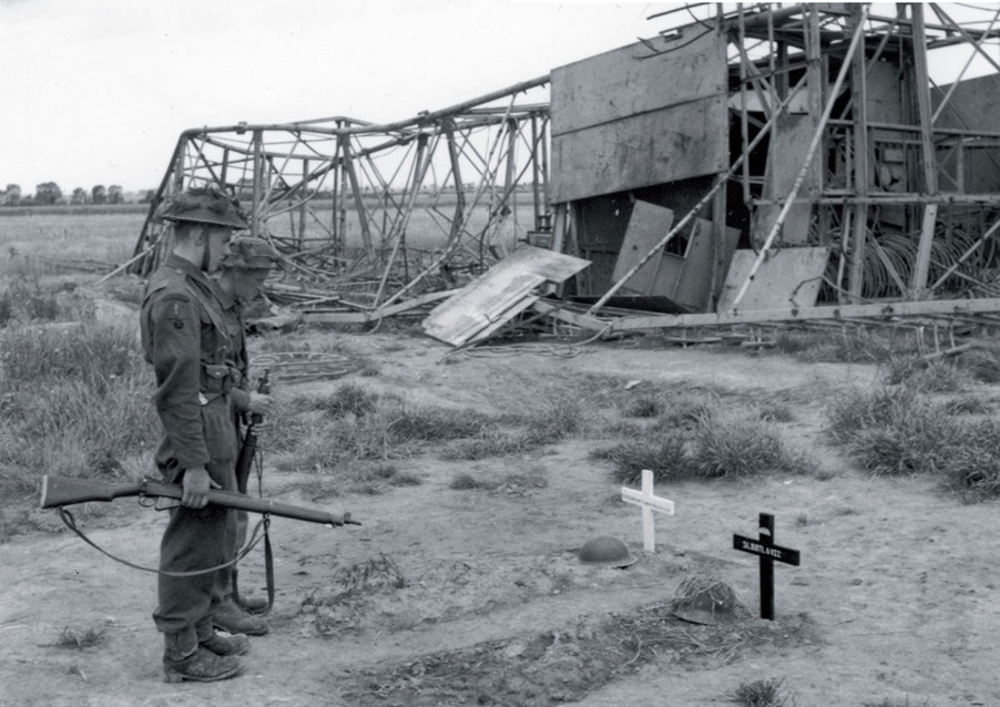
However, to set the scene, I thought we should begin with an account of the important operation which took place in February 1942 to land in France and bring back parts from one of the radars for detailed examination in Britain. The site at Bruneval was chosen, our text being based on Instruments of Darkness by permission of the late Dr Alfred Price.
WINSTON RAMSEY, 2021
Contents
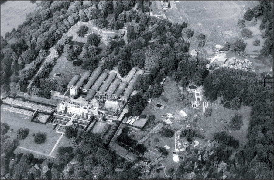
Danesfield House at Medmenham in Buckinghamshire became the main interpretation centre for photo-reconnaissance over Europe.
Introduction
By Bruce Robertson
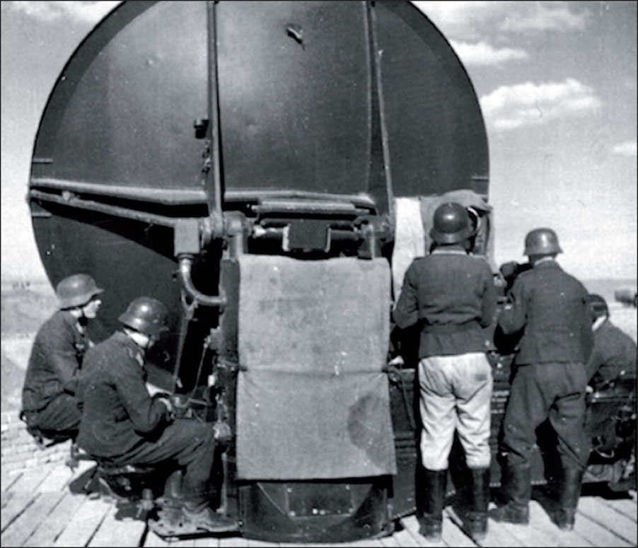
After the collapse of France in July 1940, German forces in the occupied territories manned the coasts of Holland, Belgium and France with Observer Posts. These posts had the dual purpose of preventing Allied personnel from escaping to England and also reporting any incursion from Britain by sea or air. The posts were manned by Wehrmacht personnel seconded to an Observer Corps organisation, the need for which had not been pre-planned.
By the end of 1941 the Germans had also established a chain of radar stations along the coast, manned by Wehrmacht signals personnel, grafted into the observer chain and so eliminating the need for some of the posts.
A weakness of German radar at first was an inability to identify friend from foe, lacking the facility of IFF that alerted friendly aircraft to the British defences. It was mid-war before German aircraft were fitted with FuGe25/25A equipment and their radars modified to recognise this facility. In the interim, lacking such information, it was necessary for the Luftwaffe to pre-declare flying movements to radio location station operators, leading on occasions to confusion.
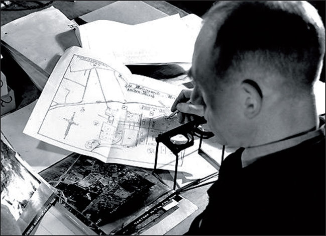
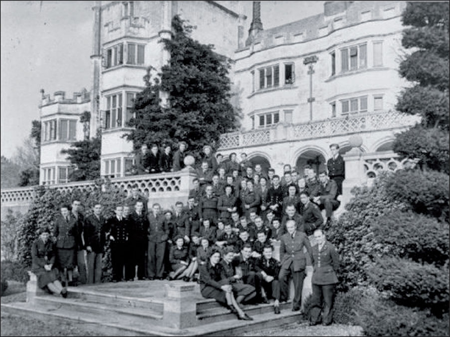
After the First World War, aerial photography in Britain was primarily carried out by the Aircraft Operating Company (AOC) which took over Aerofilms Ltd in 1925. Amalgamated into H. Hemmings & Partners in 1933, with its head office at No. 5 Buckingham Place, SW1, its factory was at Wembley, close to the companys operating base at Heston. On May 31, 1940, the staff and equipment of AOC were taken over by the Air Ministry and renamed the Photographic Interpretation Unit. When the Wembley factory was damaged by bombing, the Ministry requisitioned Danesfield House which was then being used as a temporary home for boys evacuated from a prep school at Hammersmith. There, the RAF set up the Central Interpretation Unit (CIU) that became better known just as RAF Medmenham. Later that year it absorbed the Bomber Command Damage Assessment Section, followed by the Night Photographic Interpretation Section of No. 3 Photographic Reconnaissance Unit from Oakington in February 1942.
Thirty-six million prints were produced at Medmenham during the war, being examined by a staff that eventually rose to over 1,700, of whom 150 were WAAFs.

