Best Hikes Sacramento
Help Us Keep This Guide Up to Date
Every effort has been made by the author and editors to make this guide as accurate and useful as possible. However, many things can change after a guide is publishedtrails are rerouted, regulations change, facilities come under new management, and so forth.
We welcome your comments concerning your experiences with this guide and how you feel it could be improved and kept up to date. While we may not be able to respond to all comments and suggestions, well take them to heart, and well also make certain to share them with the author. Please send your comments and suggestions to the following address:
FalconGuides
Reader Response/Editorial Department
246 Goose Lane, Suite 200
Guilford, CT 06437
Or you may e-mail us at:
Thanks for your input, and happy trails!
Best Hikes Sacramento
The Greatest Vistas, Rivers, and Gold Rush Trails
Second Edition
Tracy Salcedo


An imprint of The Rowman & Littlefield Publishing Group, Inc.
4501 Forbes Blvd., Ste. 200, Lanham, MD 20706
Falcon and FalconGuides are registered trademarks and Make Adventure Your Story is a trademark of The Rowman & Littlefield Publishing Group, Inc.
Distributed by NATIONAL BOOK NETWORK
Copyright 2018 The Rowman & Littlefield Publishing Group, Inc.
A previous edition of this book was published by FalconGuides in 2012.
TOPO! Maps copyright 2018 National Geographic Partners, LLC. All Rights Reserved.
Maps Rowman & Littlefield
All photos by Tracy Salcedo unless otherwise noted
All rights reserved. No part of this book may be reproduced in any form or by any electronic or mechanical means, including information storage and retrieval systems, without written permission from the publisher, except by a reviewer who may quote passages in a review.
British Library Cataloguing-in-Publication Information available
The Library of Congress has cataloged the previous edition as follows:
Salcedo-Chourr, Tracy.
Best hikes near Sacramento / Tracy Salcedo-Chourre.
p. cm.
Summary: Featuring 41 of the best hikes in the greater Sacramento area, this exciting new guidebook points locals and visitors alike to trailheads within an hours drive of the cityProvided by publisher.
ISBN 978-0-7627-8090-7 (pbk.)
1. HikingCaliforniaSacramento RegionGuidebooks. 2. Sacramento Region (Calif.)Guidebooks.I. Title.
GV199.42.C22S237 2012
917.94'54dc23
2012017911
ISBN 978-1-4930-3026-2 (paperback)
ISBN 978-1-4930-3027-9 (e-book)
 The paper used in this publication meets the minimum requirements of American National Standard for Information SciencesPermanence of Paper for Printed Library Materials, ANSI/NISO Z39.48-1992.
Printed in the United States of America
The author and The Rowman & Littlefield Publishing Group, Inc., assume no liability for accidents happening to, or injuries sustained by, readers who engage in the activities described in this book.
For Alexandera,
A reminder that lovely things can be found in unexpected places
Contents
Contents
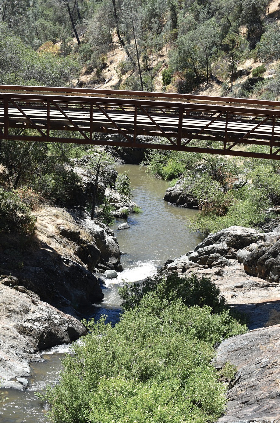
Canyon View Bridge spans Coon Creek above its confluence with Deadman Creek.
Introduction
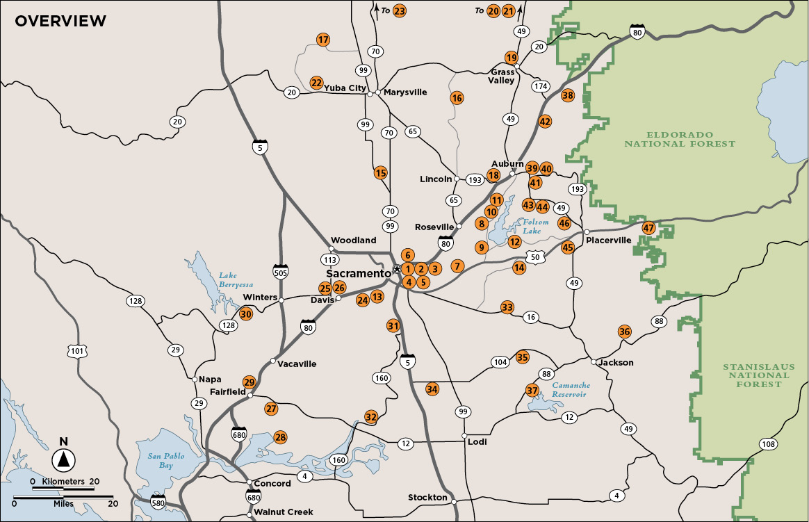
I knew I had to go back to Hidden Falls. Located just west of Sacramento, tucked in foothills at the foot of the Sierra Nevada, the park had undergone a massive expansion in the years since the first edition of Best Hikes Near Sacramento was published, and there was another waterfall to visit.
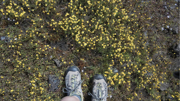
I knew I had to add North Table Mountain. This park outside Oroville pushes the limits in terms of distance from Californias capital city, but it boasts stellar views across the Sacramento Valley to the Yolla Bolly Mountains and a stellar trail leading down to one of its many falls. I got lucky on my hike here: It was spring, and California had abundant winter rain. There was a superbloom.
I knew I had to hike the Sutter Buttes. The Middle Mountain dominates viewscapes in the valley just north of Sacramento. The open space there is preserved by a local land trust, and hiking is restricted. No matterthe walking was also a revelation.
I also wanted to revisit places that had never left my consciousness, but that I hadnt seen since the first time around. The birds of Gray Lodge. Bobelaine on the Feather River, swamped by the winters record rainfall. The surprise of the Empire Mine. Provocative Rancho Seco.
And downtown Sacramento, where the rivers meet and lengthy urban pathways encourage exploration, gets more vibrant with time.
Sacramento and the smaller satellite cities within a reasonable drive of the state capital, like Davis, Auburn, and Colfax, are no longer hiccups along the freeway that beelines from the San Francisco Bay Area to Lake Tahoe and the shining Sierra. The unexpected beauty of these parklands has been unmasked, like a wallflower coaxed into the lights on the dance floor. Their beauty may be more muted, but they are radiant upon exploration.
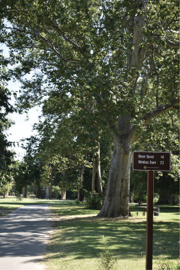
This guide includes some urban hikes. Several paved, flat tracks, often following riverbanks, levee roads, or abandoned railroad grades, weave across the sprawling Sacramento metropolitan area. These routes satisfy the varied recreational needs of area residents, accommodating after-work escapes, lunchtime power walks, needed perambulation for cooped-up canines, the walk-and-talks of parents pushing strollers, the marathoners workout, and Sunday sunset walking meditations.
Suburbia and agriculture form a shifting ecotone around Sacramento, with rivers and streams as the major thruways. An increasing number of parks and preserves have been set aside along these corridors. Not all allow public access or have developed trail systems, but some do, and hiking in these open spaces, particularly in the foothills, offers a glimpse into what the landscape offered when its only inhabitants were tribal hunters and gatherers.
Springtime in the Great Valley, especially after a year of record rainfall, brings spectacular wildflower blooms throughout the region.
The mighty Sacramento River and its tributariesthe three forks of the American, the Feather, the Yuba, and the Cosumnesinform nearly every park and trail in this guide. They evolve as they flow out of the mountains and merge on the flatlands, growing from clear, fast-moving streams into navigable waterways that look lazy until the sun highlights the complicated currents that churn below the surface. Trails around the rivers and their levees and sloughsespecially where the Sacramento and San Joaquin Rivers splinter into a complex delta as they reach San Francisco Bayrange through riparian habitats and wetlands that support a wealth of bird, plant, and animal life. Youll be hard-pressed to find a trail in the delta, or in any riverside park, that doesnt ring with birdsong.
Next page




 The paper used in this publication meets the minimum requirements of American National Standard for Information SciencesPermanence of Paper for Printed Library Materials, ANSI/NISO Z39.48-1992.