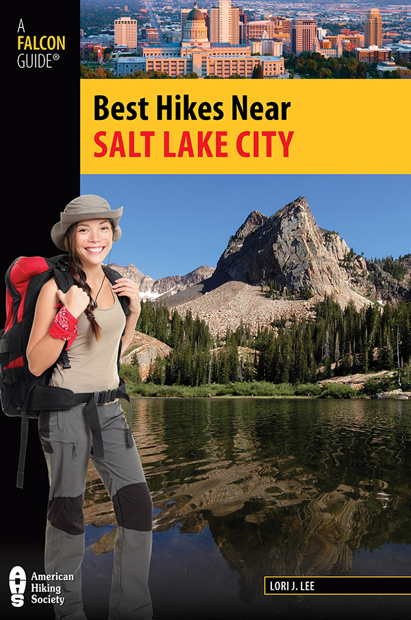
Lori J. Lee
Every effort has been made by the author and editors to make this guide as accurate and useful as possible. However, many things can change after a guide is publishedtrails are rerouted, regulations change, techniques evolve, facilities come under new management, and so on.
We would appreciate hearing from you concerning your experiences with this guide and how you feel it could be improved and kept up to date. While we may not be able to respond to all comments and suggestions, well take them to heart, and well also make certain to share them with the author. Please send your comments and suggestions to the following address:
For my sons. May I pass to you the legacy of a love for the land.
2012 Morris Book Publishing, LLC
ALL RIGHTS RESERVED. No part of this book may be reproduced or transmitted in any form by any means, electronic or mechanical, including photocopying and recording, or by any information storage and retrieval system, except as may be expressly permitted in writing from the publisher. Requests for permission should be addressed to Globe Pequot Press, Attn: Rights and Permissions Department, PO Box 480, Guilford, CT 06437.
FalconGuides is an imprint of Globe Pequot Press.
Falcon, FalconGuides, and Outfit Your Mind are registered trademarks of Morris Book Publishing, LLC.
TOPO! Explorer software and SuperQuad source maps courtesy of National Geographic Maps. For information about TOPO! Explorer, TOPO!, and Nat Geo Maps products, go to www.topo.com or www.natgeomaps.com.
All interior photos by Lori J. Lee unless otherwise noted.
Layout artist: Maggie Peterson
Maps by Daniel Lloyd Morris Book Publishing, LLC
Library of Congress Cataloging-in-Publication data is available on file.
ISBN 978-0-7627-9499-7
The author and Globe Pequot Press assume no liability for accidents happening to, or injuries sustained by, readers who engage in the activities described in this book.
Contents
Acknowledgments
No person completes anything worthwhile by him or herself. Hiking, insights, knowledge, and ideas come from many sources. Thanks to the Davis County Hiking Meet-Up group for the fun days on the trail and to Greg at Draper City for his time and knowledge on Corner Canyon. Thanks to Charles L. Keller and his book Lady in the Ore Bucket for his detailed historical research on the canyons. Also thanks to Mike Scalora and Rick Gardner for time on the trail, GPS and mapping assistance, and sharing their knowledge on their favorite home trails. Finally, thanks to all those, including my family, who hiked and spent long days on the trails with meyour help and time have been invaluable.
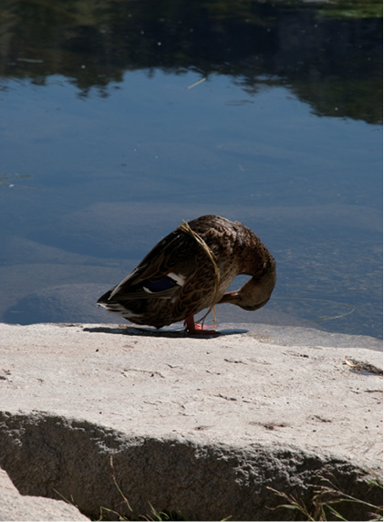
Duck preening near Silver Lake Alysha Blaskovich
Introduction
Hikes are pilgrimages. We do them to find solace, because others have done them, to mark them off our life list, because they are recommended, to prove something, to stay fit, to connect with the spirit of nature, and sometimes just because they are there. Hikes build memories with families and friends. They feed our souls and give us time for reflection and solitude. As John Muir said, In every walk with nature one receives far more than he seeks.
Each hiking trail near Salt Lake City offers its own treat. Climbing Mount Timpanogos and other 11,000-foot peaks provides 360-degree views across mountain ranges, the vast Salt Lake Valley, the Great Salt Lake, the cities that lie between, and a hundred other scenic details you will never see from your couch. Hiking Albion Basin offers visual candysuch as prolific wildflowers, some found only in the Wasatch. The Lake Blanche area takes you to glacially carved lakes that sit below a sundial-shaped formation. The hike to Donut Falls is an easy jaunt to a doughnut-shaped hole in the rock and the waterfall that pours through it. Each hike offers its own reward, and with this book you can begin to discover what each has to offer you: a personal treasure hunt.
The heart of Salt Lake City beats with business, culture, education, traffic, and all the accoutrements of metropolitan living. But unlike most other metropolitan areas, lush, beautiful mountains and canyons sit on the very borders of the city and offer hiking opportunities within minutes of its hustle and bustle. These trails lead into the depths of the glorious, green mountains and the respite they offer. The outdoor lifestyle available in Utah draws many to the area. Being able to take a quick hike or bike ride before or after work, get to a ski resort in half an hour, sit atop 11,000-plus-foot peaks outside your back doorproximity is but one of the reasons the outdoor lifestyle thrives in Utah. Each of the trails described in this guide lies within an hour of Salt Lake City, most much closer.
The Wasatch Mountains make up Salt Lake Citys eastern border and then continue north, bordering other northern Utah cities and up into Idaho. The range supports lush alpine forests, waterfalls, rushing streams, quiet lakes, grassy meadows dotted with wildflowers, and belt-notch-worthy peaks.
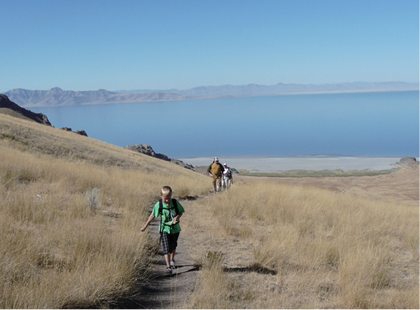
Hikers on the trail to Frary Peak
Just a glance at the Wasatch Range can leave visitors as well as locals in awe. Though I have driven past the range my entire adult life, I still cant make it through the Salt Lake Valley without exclaiming on the majesty and beauty of the mountains.
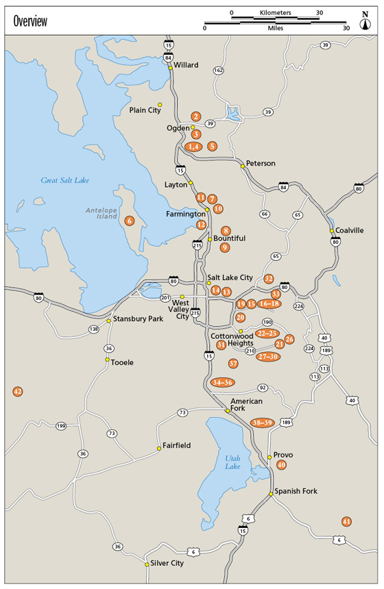
Considered the western edge of the Rocky Mountains, the Wasatch Range stretches 246 miles from southeast Idaho to central Utah. Its slopes reach 73 miles from east to west. The range comprises three sections: The Northern Wasatch includes the Willard Peak (the highest peak in the Northern Wasatch) or Brigham City area and the Bear River Mountains running into Cache Valley and Idaho. The Southern Wasatch is home to the highest peak in the range11,928-foot Mount Neboand ends approximately at the city of Nephi. The Central Wasatch Range, the primary focus of this book, runs along the Wasatch Front (the populated east side of the Wasatch Range) from Ogden Canyon to American Fork Canyon and makes its way into the Park City area known as the Wasatch Back.
Original inhabitants of the Salt Lake Valley included such Native American peoples as the Shoshone, Paiute, Goshute, and Utes. The Indian Trail via Cold Water Canyon () is one of the trails established by Native Americans as they forged a route past the waters of what is now called Ogden Canyon.
The Wasatch was first viewed by Europeans in 1776 when priests Francisco Atanasio Dominguez and Silvestre Velez de Escalante traversed the range. These were the first nonNative American explorers to lay eyes on much of New Mexico, Colorado, Utah, and Arizona. In the 1820s fur trappers and traders discovered the area and established trading posts and trapping systems to provide beaver pelts for the beaver-fur hats then in fashion. The trapping industry brought Peter Ogden, William Ashley, Jedediah Smith, Etienne Provost, and Jim Bridgermen for whom national forests, cities, and sections of land were named. Youll recognize their names as you explore the area. Fur interests throughout the West dwindled in 1840 when silk replaced beaver fur as the height of fashion, and mining moved into Utah.


