About the Authors
Roddy Scheer is a writer and photographer specializing in nature, the outdoors, environmental issues, and travel. He has been living in and exploring the Pacific Northwest since 1999 and has become a trusted source for information on the regions outdoor recreation opportunities. His writing has appeared regularly in publications including Seattle magazine, Northwest Travel and E/The Environmental Magazine, and he has coauthored the books Mt. St. Helens: The Continuing Story (KC Publications, 2005) and Earthtalk: Questions & Answers About Our Environment (Plume, 2009). Meanwhile, his stock photography collection of iconic Northwest nature and wildlife subjects includes more than 10,000 images and is represented by the Danita Delimont Agency, while his fine art prints have been featured in three solo exhibitions and are for sale directly via his website and through a handful of galleries. For more information, check out roddyscheer.com.
Adam Sawyer is an outdoor and travel writer and photographer based out of Portland, Oregon. His work has appeared in Northwest Travel, Portland Monthly, Columbia River Gorge, Central Oregon, and Backpacker magazines. He currently pens articles as the Portland Hiking Examiner for Examiner.com and authored the biweekly column Portland Family Outdoors for Craigmore Creations. He was the cohost of the KEEN HybridLife Radio Show for its duration and now serves as a brand ambassador for the company. He is also the author of Hiking Waterfalls in Oregon (FalconGuides).
Acknowledgments
Putting together this book has truly been a labor of love, requiring miles and miles in the family van and hours and hours away from home. That said, I couldnt have done it without the loving support and utter patience of my wife, Alex, and kids, Eliza and Max. And special thanks to my parents, Ruth and Ken, who have always set such a good example for me and let me blaze my own trails.
I am indebted to (and a little furious at) Allen Cox, my editor at Northwest Travel magazine, for referring this wonderful bear of a project to me. Thanks to John Burbidge, my original FalconGuides editor on the project, for getting my feet wet, so to speak, and to Katie Benoit, who took the book on midstream and expertly guided it to completion.
Bryan Swans Northwest Waterfall Survey, part of the larger World Waterfall Database, has proven an invaluable resource in researching which of Washingtons thousands of named cascades to include in this book. Swan keeps busy 9-to-5 as a technology professional, but spends the rest of his time exploring waterfalls, documenting what he finds, and adding new information to the World Waterfall Database.
Likewise, Aarons Waterfall World, a website featuring descriptions and pictures of waterfalls in northwest Washington State by Aaron Young, has been a great aid in helping me sort through which of the hundreds of named waterfalls around Bellingham and the North Cascades to cover.
Another great source of data and description has been the Washington Trails Association (WTA) website, which is chock-full of thousands of hiking trail descriptions from the Pacific coast of the Olympic Peninsula to the Idaho border. This nonprofit has been operating since 1966 maintaining hiking trails and working to protect wild lands, mostly with volunteer labor, and correctly considers itself the voice for hikers in Washington State.
As for gear, I will be forever indebted to Volkswagen for making the Eurovan, and wish they would bring back a new small camper so I could finally upgrade. My 2003 pop-top edition has taken me into many remote areas and provided a comfortable home on wheels and wilderness charging station in the field. For photography, I have relied on Nikon gear ever since my dad shipped me his then 24-year-old Nikon FM body and a couple of prime lenses before I embarked on my first trip to Alaska in 2001. Taking good pictures with that old-school manual film camera and manual-focus lenses taught me all I needed to know about photography. That gear, and lots more (especially now that we are into the digital age), has helped me document my travels, wild and otherwise, ever since.
Most of all, Id like to acknowledge and thank you, the reader, for your interest in waterfalls, hiking, and wild, natural placesand for buying this guidebook, which was prepared with so much sweat and joy. Enjoy it, and see you out on the trail!
Roddy
Olympic Peninsula and Islands
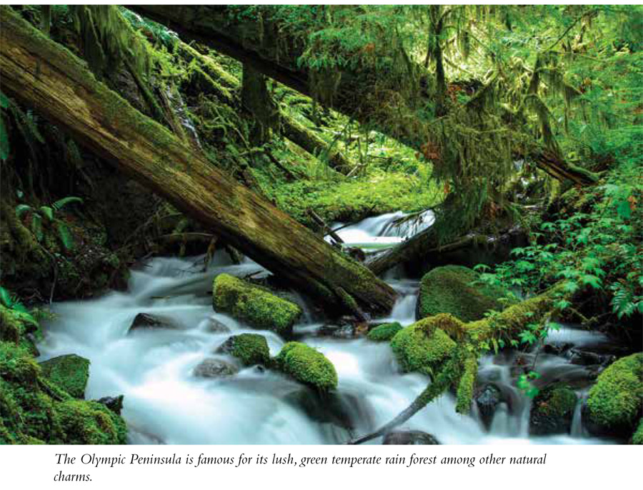
T he Olympic Peninsula in the northwest corner of the continental United States, home to high glacial peaks, wild free-flowing rivers, and lush temperate rain forests, is one of the most beautiful parts of Washington State. The rough-and-tumble topography of the region is the result of ancient tectonic forcesthink continental plates bumping up against each other and causing upliftand then, a little more recently, the glaciation of the last ice age some 10,000 years ago. Unlike the Cascades, the Olympic range is not of volcanic origin, and as a result is composed primarily of sandstone and basalt, not granite. This unique geological composition is part of what gives the Olympics their wild, impenetrable character and sets the region apart from other wild and woolly parts of Washington State.

Despite the difficult terrain, humans may have inhabited the Olympic Peninsula for longer than anywhere else in what is today considered the continental United States. Stone tools excavated there have been dated back some 7,600 years, following the end of the last ice age and early humans journey over the Bering Strait into North America. Indeed, the Native coastal Salish tribes who called the region home for thousands of years prior to white settlement lived well off abundant natural resources, including wild game and seafood and a wide range of edible native plants. According to Indian lore, Olympic Peninsula rivers were so clogged with salmon during the summer runs that you didnt need a footbridge to cross over them.
While white settlement of the Northwest in the mid-1800s brought the first roads and trails to the region, the Olympics remained the last frontier for many more years. In 1890 a five-man media expedition looking to explore and survey the peninsula finally made it through the Olympics tangled and steep interior and out to the coast after a 6-month ordeal during one of the coldest and snowiest winters in memory. Adventurers have been following in their footsteps and blazing their own new trails ever since. But dont think for a second that Washingtons wildest region is tamed in any way. There might not be a more remote spot in the Lower 48 than in the middle of the temperate rain forest of Valley of 10,000 Waterfalls under the shadow of 9,573-foot Mt. Olympus in the middle of the Olympic Peninsula.
Camping and Accommodations
Falls View Campground, Quilcene, WA: This Olympic National Forest campground has thirty sites suitable for tents or RVs ($10/night) spread across two loops and provides quick access to lots of hikesthe overlook of Falls View Falls is a few feet away from the campsitesas well as the waterfront of nearby Quilcene Bay and its oyster and clam bed. From Quilcene, WA, drive 3.5 miles south on US 101 to the Falls View Campground entrance on the west side of the road. Open May through September, weather permitting. www.fs.usda.gov/recarea/olympic/recarea/?recid=47829. GPS: N47 47.373' / W122 55.712'


