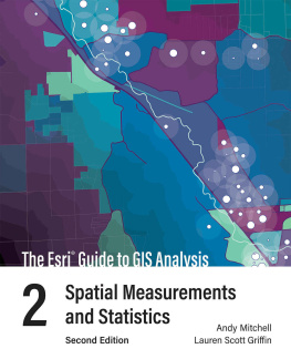
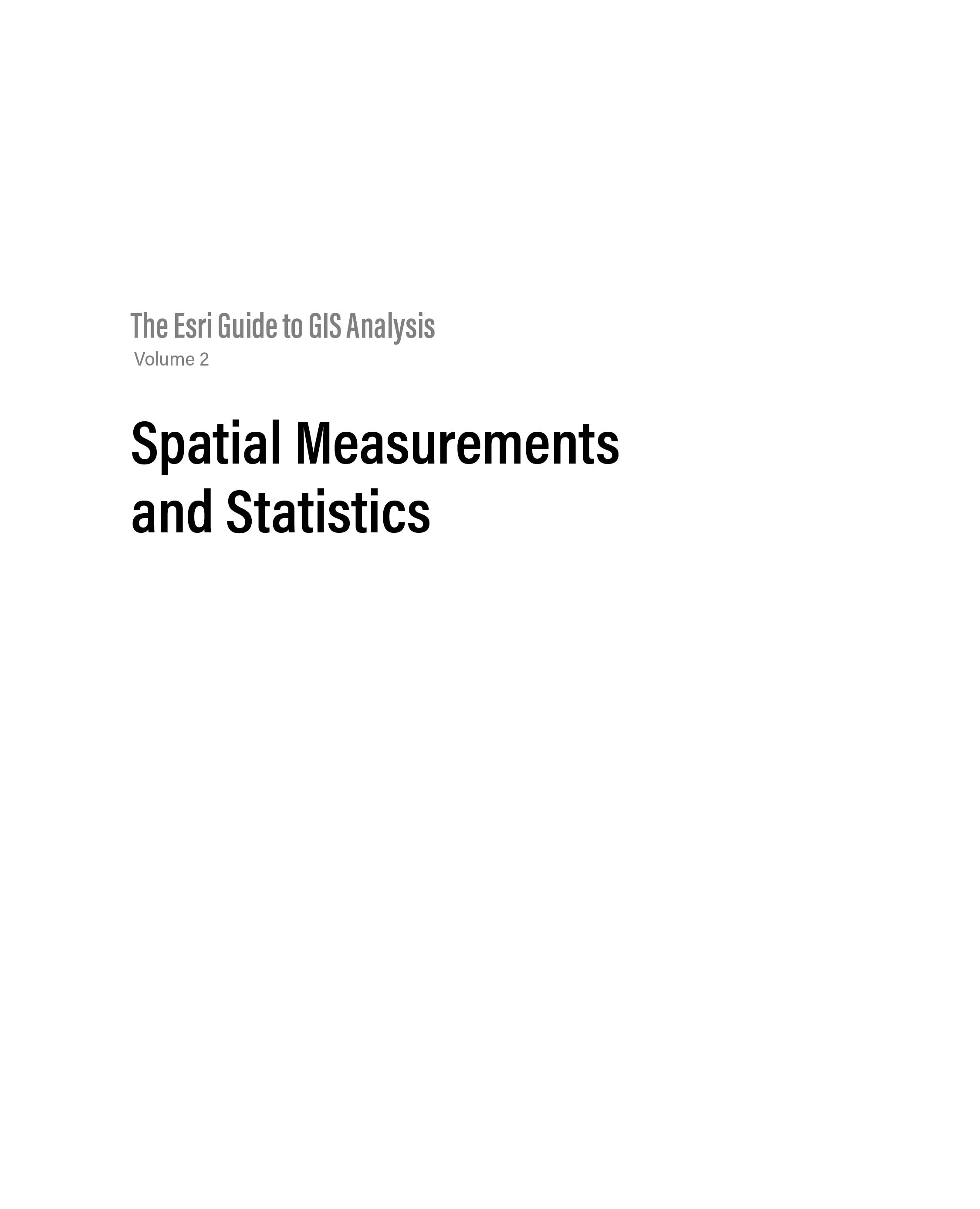
Mitchell Andy - The Esri Guide to GIS Analysis, Volume 2: Spatial Measurements and Statistics, second edition
Here you can read online Mitchell Andy - The Esri Guide to GIS Analysis, Volume 2: Spatial Measurements and Statistics, second edition full text of the book (entire story) in english for free. Download pdf and epub, get meaning, cover and reviews about this ebook. year: 2020, publisher: Esri Press, genre: Home and family. Description of the work, (preface) as well as reviews are available. Best literature library LitArk.com created for fans of good reading and offers a wide selection of genres:
Romance novel
Science fiction
Adventure
Detective
Science
History
Home and family
Prose
Art
Politics
Computer
Non-fiction
Religion
Business
Children
Humor
Choose a favorite category and find really read worthwhile books. Enjoy immersion in the world of imagination, feel the emotions of the characters or learn something new for yourself, make an fascinating discovery.
- Book:The Esri Guide to GIS Analysis, Volume 2: Spatial Measurements and Statistics, second edition
- Author:
- Publisher:Esri Press
- Genre:
- Year:2020
- Rating:3 / 5
- Favourites:Add to favourites
- Your mark:
- 60
- 1
- 2
- 3
- 4
- 5
The Esri Guide to GIS Analysis, Volume 2: Spatial Measurements and Statistics, second edition: summary, description and annotation
We offer to read an annotation, description, summary or preface (depends on what the author of the book "The Esri Guide to GIS Analysis, Volume 2: Spatial Measurements and Statistics, second edition" wrote himself). If you haven't found the necessary information about the book — write in the comments, we will try to find it.
Mitchell Andy: author's other books
Who wrote The Esri Guide to GIS Analysis, Volume 2: Spatial Measurements and Statistics, second edition? Find out the surname, the name of the author of the book and a list of all author's works by series.
The Esri Guide to GIS Analysis, Volume 2: Spatial Measurements and Statistics, second edition — read online for free the complete book (whole text) full work
Below is the text of the book, divided by pages. System saving the place of the last page read, allows you to conveniently read the book "The Esri Guide to GIS Analysis, Volume 2: Spatial Measurements and Statistics, second edition" online for free, without having to search again every time where you left off. Put a bookmark, and you can go to the page where you finished reading at any time.
Font size:
Interval:
Bookmark:
 Esri Press, 380 New York Street, Redlands, California 92373-8100 Copyright 2021 Esri All rights reserved.Printed in the United States of America 25 24 23 22 21 1 2 3 4 5 6 7 8 9 10ISBN: 9781589486089. e-ISBN: 9781589486096.The Library of Congress has cataloged the print edition as follows:Library of Congress Control Number: 2019044041 (print) | 2019044042 (ebook)The information contained in this document is the exclusive property of Esri unless otherwise noted. This work is protected under United States copyright law and the copyright laws of the given countries of origin and applicable international laws, treaties, and/or conventions. No part of this work may be reproduced or transmitted in any form or by any means, electronic or mechanical, including photocopying or recording, or by any information storage or retrieval system, except as expressly permitted in writing by Esri. All requests should be sent to Attention: Contracts and Legal Services Manager, Esri, 380 New York Street, Redlands, California 92373-8100, USA.The information contained in this document is subject to change without notice.US Government Restricted/Limited Rights: Any software, documentation, and/or data delivered hereunder is subject to the terms of the License Agreement. The commercial license rights in the License Agreement strictly govern Licensees use, reproduction, or disclosure of the software, data, and documentation. In no event shall the US Government acquire greater than RESTRICTED/LIMITED RIGHTS. At a minimum, use, duplication, or disclosure by the US Government is subject to restrictions as set forth in FAR 52.227-14 Alternates I, II, and III (DEC 2007); FAR 52.227-19(b) (DEC 2007) and/or FAR 12.211/12.212 (Commercial Technical Data/Computer Software); and DFARS 252.227-7015 (DEC 2011) (Technical Data Commercial Items) and/or DFARS 227.7202 (Commercial Computer Software and Commercial Computer Software Documentation), as applicable. Contractor/Manufacturer is Esri, 380 New York Street, Redlands, CA 92373-8100, USA.@esri.com, 3D Analyst, ACORN, Address Coder, ADF, AML, ArcAtlas, ArcCAD, ArcCatalog, ArcCOGO, ArcData, ArcDoc, ArcEdit, ArcEditor, ArcEurope, ArcExplorer, ArcExpress, ArcGIS, arcgis.com, ArcGlobe, ArcGrid, ArcIMS, ARC/INFO, ArcInfo, ArcInfo Librarian, ArcLessons, ArcLocation, ArcLogistics, ArcMap, ArcNetwork, ArcNews, ArcObjects, ArcOpen, ArcPad, ArcPlot, ArcPress, ArcPy, ArcReader, ArcScan, ArcScene, ArcSchool, ArcScripts, ArcSDE, ArcSdl, ArcSketch, ArcStorm, ArcSurvey, ArcTIN, ArcToolbox, ArcTools, ArcUSA, ArcUser, ArcView, ArcVoyager, ArcWatch, ArcWeb, ArcWorld, ArcXML, Atlas GIS, AtlasWare, Avenue, BAO, Business Analyst, Business Analyst Online, BusinessMAP, CommunityInfo, Database Integrator, DBI Kit, EDN, Esri, Esri CityEngine, esri.com, EsriTeam GIS, EsriThe GIS Company, EsriThe GIS People, EsriThe GIS Software Leader, FormEdit, GeoCollector, Geographic Design System, Geography Matters, Geography Network, geographynetwork.com, Geoloqi, Geotrigger, GIS by Esri, gis.com, GISData Server, GIS Day, gisday.com, GIS for Everyone, JTX, MapIt, Maplex, MapObjects, MapStudio, ModelBuilder, MOLE, MPSAtlas, PLTS, Rent-a-Tech, SDE, See What Others Cant, SML, SourcebookAmerica, SpatiaLABS, Spatial Database Engine, StreetMap, Tapestry, the ARC/INFO logo, the ArcGIS Explorer logo, the ArcGIS logo, the ArcPad logo, the Esri globe logo, the Esri Press logo, The Geographic Advantage, The Geographic Approach, the GIS Day logo, the MapIt logo, The Worlds Leading Desktop GIS, Water Writes, and Your Personal Geographic Information System are trademarks, service marks, or registered marks of Esri in the United States, the European Community, or certain other jurisdictions. Other companies and products or services mentioned herein may be trademarks, service marks, or registered marks of their respective mark owners.For purchasing and distribution options (both domestic and international), please visit esripress.esri.com.173437
 As tempting as it can be to fall in love with the newest algorithm or the latest trend in methodology, great analysis happens when we focus, first and foremost, on the problem that we are trying to solve. And that is exactly what Andy and Lauren do in The Esri Guide to GIS Analysis, Volume 2: Spatial Measurements and Statistics, second edition. In this essential guide, they bring each algorithm and method to life by focusing on the problems they solve and the ways they can be used to answer important questions. The authors share concrete, relatable examples that everyone can relate to so that you can see how each approach can be used in your own analysis.
Another critical component of doing great analysis is taking the time to truly understand how each method we use works. Understanding these methods helps us think critically about our results, evaluate them objectively, and ensure that we are doing responsible analysis. There are few books out there that take the topic of spatial statistics and break it down as effectively and effortlessly as Andy and Lauren do. This is a book written for everyone, and you will walk away with a deep understanding of how these spatial statistics work and with the confidence to use them in your own analysis.
Spatial analysis has never been as important as it is today. As GIS analysts and spatial data scientists, we will play a crucial role in making our world more equitable and sustainable. Focusing on the problems we are solving, applying the right techniques to answer the right questions, and responsibly evaluating our analyses are all critical elements of analysis that Andy and Lauren beautifully interconnect in this guide. It is absolutely required reading for everyone who wants to approach the complex problems our world faces with a spatial lens.
Lauren Bennett, PhD
Software Development Lead, Spatial Analysis and Data Science, Esri
In the foreword to the first volume of The Esri Guide to GIS Analysis, I wrote, Spatial analysis has often seemed inaccessible to many GIS userstoo mathematical to understand, too difficult to implement, and lacking in good textbooks and guides. Volume 1 seemed to me to be exactly what was needed by GIS users without a strong background in mathematics and statisticsa well-illustrated, accessibly written discussion of the main methods and how they can be used to answer important questions. I noted that Esri plans to follow and build on this with a second, more advanced book, which will cover some of the more complex methods. But I had serious doubts about that second project, since it would have to venture into more difficult territory, including the forbidding topics of statistical inference and hypothesis testing.
As an instructor, I have had abundant firsthand experience of the difficulties students often have with these concepts. But I also know how powerful GIS can be. Ideas that used to sound impossibly dry and uninteresting when presented on a blackboard with chalk come alive and are compelling when introduced through the colorful, practical medium of GIS. Arguments made in words are never as accessible as arguments presented in pictures, particularly when those pictures refer to real issues, such as public health, crime, or the environment.
Like its predecessor, this new book is a triumph. It combines the relaxed, intuitive style of Andy Mitchells writing and design with access to the wealth of applications and examples that Esri has been storing up over the 35 years of its existence. It doesnt shortchange the reader, but instead confronts sampling, spatial dependence, and statistical inference head on. But it does it in a gentle way that minimizes mathematical notation, and relies instead on an abundance of colorful graphics and interesting examples. Many of the issues are at the cutting edge and far from settled, including the troublesome topic of cluster detection, but readers will find them treated in a straightforward way with plenty of directions for further, deeper reading.
Next pageFont size:
Interval:
Bookmark:
Similar books «The Esri Guide to GIS Analysis, Volume 2: Spatial Measurements and Statistics, second edition»
Look at similar books to The Esri Guide to GIS Analysis, Volume 2: Spatial Measurements and Statistics, second edition. We have selected literature similar in name and meaning in the hope of providing readers with more options to find new, interesting, not yet read works.
Discussion, reviews of the book The Esri Guide to GIS Analysis, Volume 2: Spatial Measurements and Statistics, second edition and just readers' own opinions. Leave your comments, write what you think about the work, its meaning or the main characters. Specify what exactly you liked and what you didn't like, and why you think so.

