One
THE BLUE SKY PEOPLE
The first people to live in present-day Woodland Park were the Ute Indians. Ute is the word from which Utah is derived. To American settlers, the Utes became known as the Blue Sky People, living high above the clouds in what they called the shining mountains, the Rocky Mountains of Colorado. At first they lived in bark-covered huts called wickiups and later in teepees made from elk or buffalo hides. Archaeologists today believe that Utes emerged as a distinct Native American people around 1300, but it was in the 1600s, when they obtained horses from the Pueblos of New Mexico, that Ute culture underwent a dramatic change. Horsemanship and horse ownership became marks of accomplishment and wealth for the Utes. From the Pueblo Indians, they also obtained cattle and sheep, which they raised and traded throughout the area.
The Utes traveled down Ute Pass to Colorado Springs and Manitou Springs, selling buffalo goods and taking the healing waters from Manitou, where they believed the Great Spirit lived. Animals, particularly the bear, served as Ute deities. Every spring after the first thunder was heard, the Utes conducted the Bear Dance ritual, but it was in the summer that the Utes held their most significant religious ritual, the Sun Dance.
Two prominent Utes were Chief Ouray and his wife, Chipeta, who traveled to Washington, D.C., several times to negotiate with government officials concerning the fate of historic Ute tribal lands. Ourays fluency in English, Spanish, and several Native American languages, as well as his commitment to peaceful resolution of conflict, helped to create the first treaty between the Utes and the U.S. government. Several Ute reservations exist today in Utah and Southern Colorado, where about 3,500 of the 5,000 Utes live.
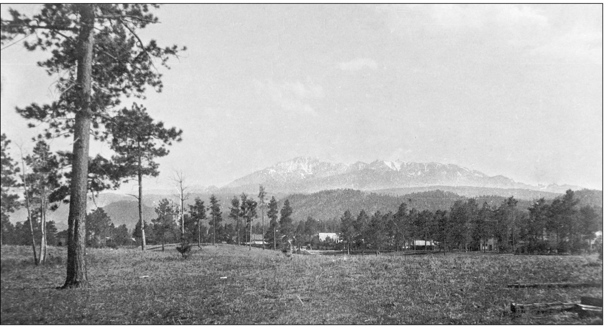
Pikes Peak is seen here from Woodland Park around 1900. The mountain is named for Lt. Zebulon M. Pike, who led an 1806 U.S. Army expedition to explore the southern boundaries of the Louisiana Purchase. He provided the U.S. government with the first accurate description of the area. Pike never climbed the peak that bears his name. Anna May Wellington (Armentrout) took this photograph; she was taught the techniques of photography as a teenager by her cousin Bert Smith in the late 1800s. She learned to evenly spread a wet, light-sensitive suspension on glass plates and then let the plates dry, keeping them in a light-tight enclosure. She used a timed exposure of the plate with a large view camera. Her family donated over 300 glass plate negatives of various sizes, from four-by-five inches to eight-by-ten inches, to the Ute Pass Historical Society. Anna May took photographs up and down Ute Pass, in Teller County as well as on trips to western Colorado, Colorado Springs, and Denver. (UPHS, Wellington.)
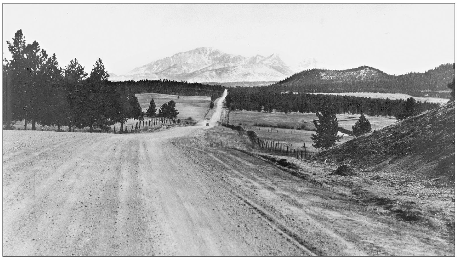
This 1935 view of Pikes Peak is from Colorado Highway 67 North between Woodland Park and Manitou Lake. In 1859, as fortune-seekers used Pikes Peak to guide them to gold discoveries near Denver and gold and silver in Leadville, they found that the Ute Pass Indian Trail, even with improvements, was inadequate. In 1871, Colorado Springs built a new road that followed Fountain Creek, at a cost of about $4000. (UPHS, Dorothy Hartman.)
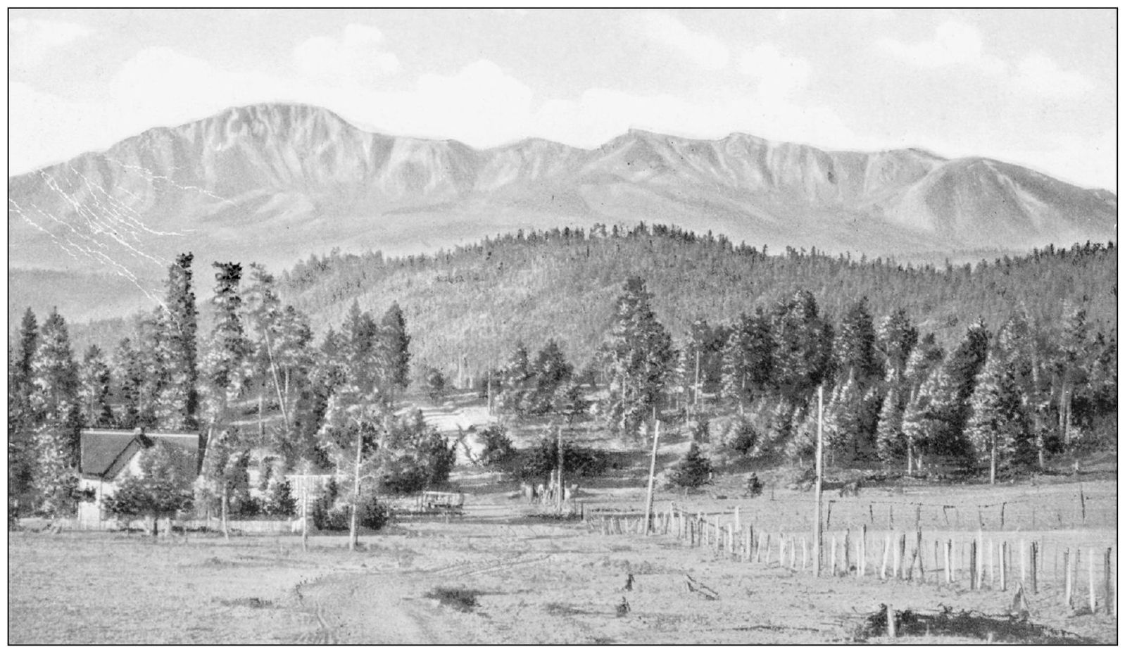
Pikes Peak is seen here from Woodland Park in a Colorado Midland Railway Postcard postmarked in 1913. Pikes Peak provides a beautiful backdrop for Woodland Park. Visitors and residents enjoy the constantly changing face of the peak in storms and sunshine, from sunrise to sunset. For the local Utes, migrations around this mountain, and its changing seasons, dictated the pattern of their lives. (UPHS, Conrad Wilson.)
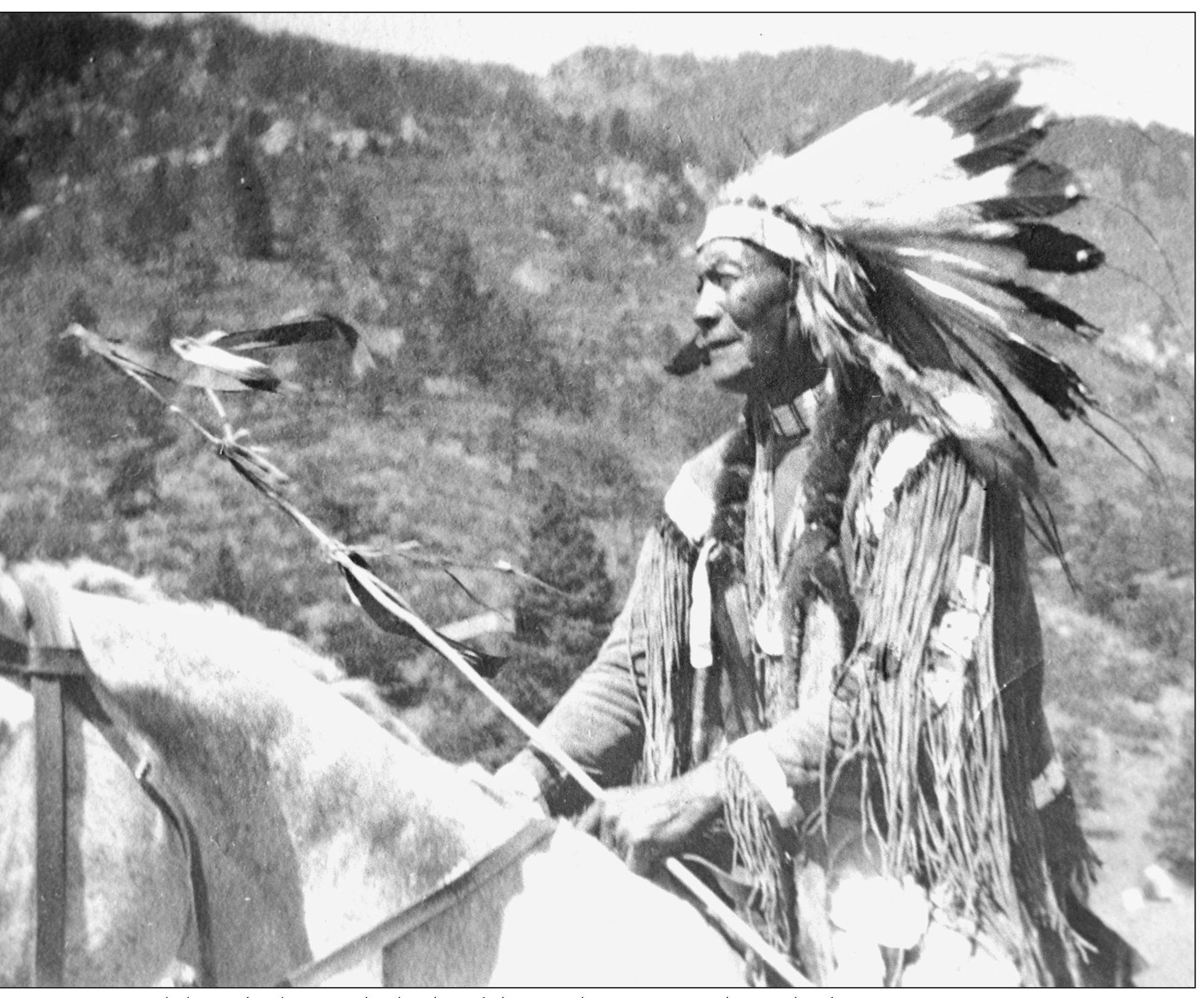
Buckskin Charlie was the leader of the Southern Utes at the trail ride reenactment on August 29, 1912, along the Ute Pass Indian Trail. The Ute Trail Ride started at the upper end of the trail. The trail goes east, leaving French Creek, and follows a shallow gulch to the top where it levels out. The trail continues east and starts down Rattlesnake Gulch past a present-day Colorado Springs water facility and down into Manitou Springs above Ruxton Avenue to approximately the spot where the Manitou Incline was located. The dedication was organized by the El Paso County Pioneers Association at the urging of D. N. Heizer, mayor of Colorado Springs. Heizer was also the principal owner of the Cascade Town and Improvement Company. Indian Agent Charles Adams, Buckskin Charlie, Utes from the Southern Ute Reservation near Ignacio, and other dignitaries made up the procession. Thomas Cusack of Marigreen Pines provided horses. Anne Cusack Johnson took this photograph when she was a teenager. (UPHS, Cusack.)

