Acknowledgments
Thanks go to Patricia Parent, Elizabeth Comer, Annette Pauling, Travis Wuest, Mike Burrell, Bob Daemmrich, Bill Sawyer, Louise Moore, Shalayne Mayfield, Mike and Debra Hobbs, Gerry Ingham, Ray Sierra, Keri Thomas LeBlanc, Amie Hufton, Lora Hufton, Lindsay Hernandez, Robin Harris, Jenny Lambright, and the staffs at the state parks, natural areas, and historic sites.
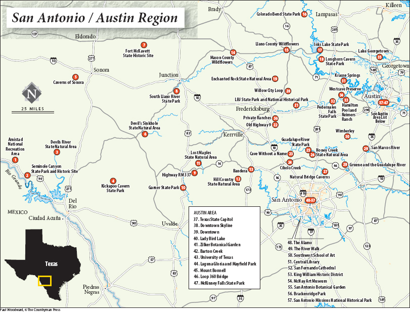
Favorites
Sunrise Locations
Fort McKavett State Historic Site
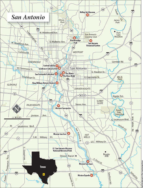
San Antonio Missions, Mission San Juan
San Antonio Missions, Mission Espada
Highway RM 337
Enchanted Rock State Natural Area
Pedernales Falls State Park
South Llano River State Park, Llano River
Sunset Locations
Fort McKavett State Historic Site
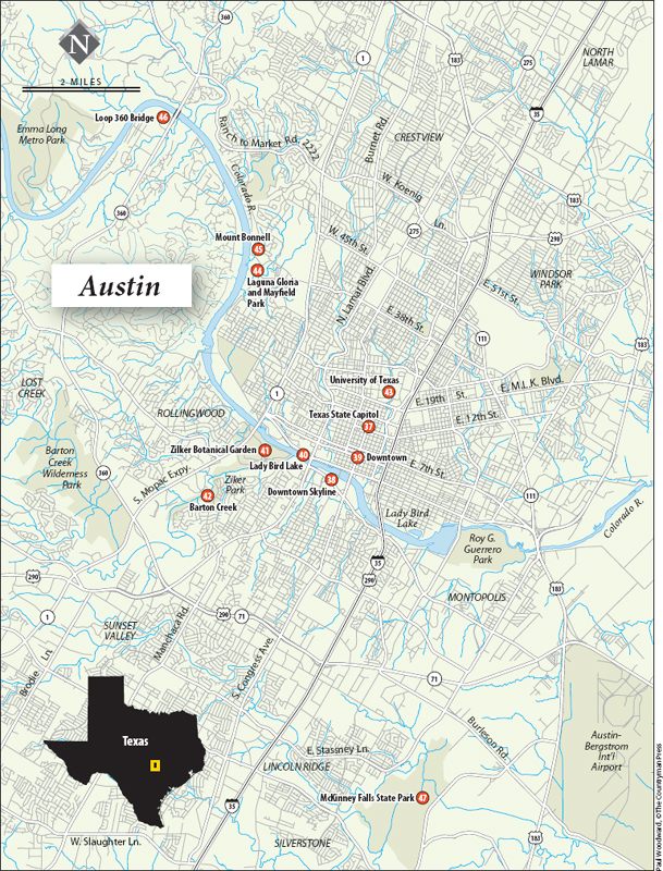
Austin, Downtown Skyline
Austin, Texas State Capitol
Austin, Loop 360 Bridge
San Antonio Missions, Mission Concepcin
Enchanted Rock State Natural Area
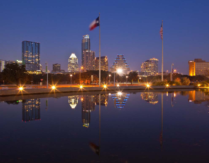
Austin skyline at dusk
Hikes
Lost Maples State Natural Area
Enchanted Rock State Natural Area
Hill Country State Natural Area, Twin Peaks Trail
Hamilton Pool
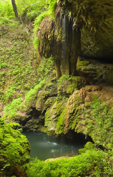
Westcave Preserve
Westcave Preserve grotto
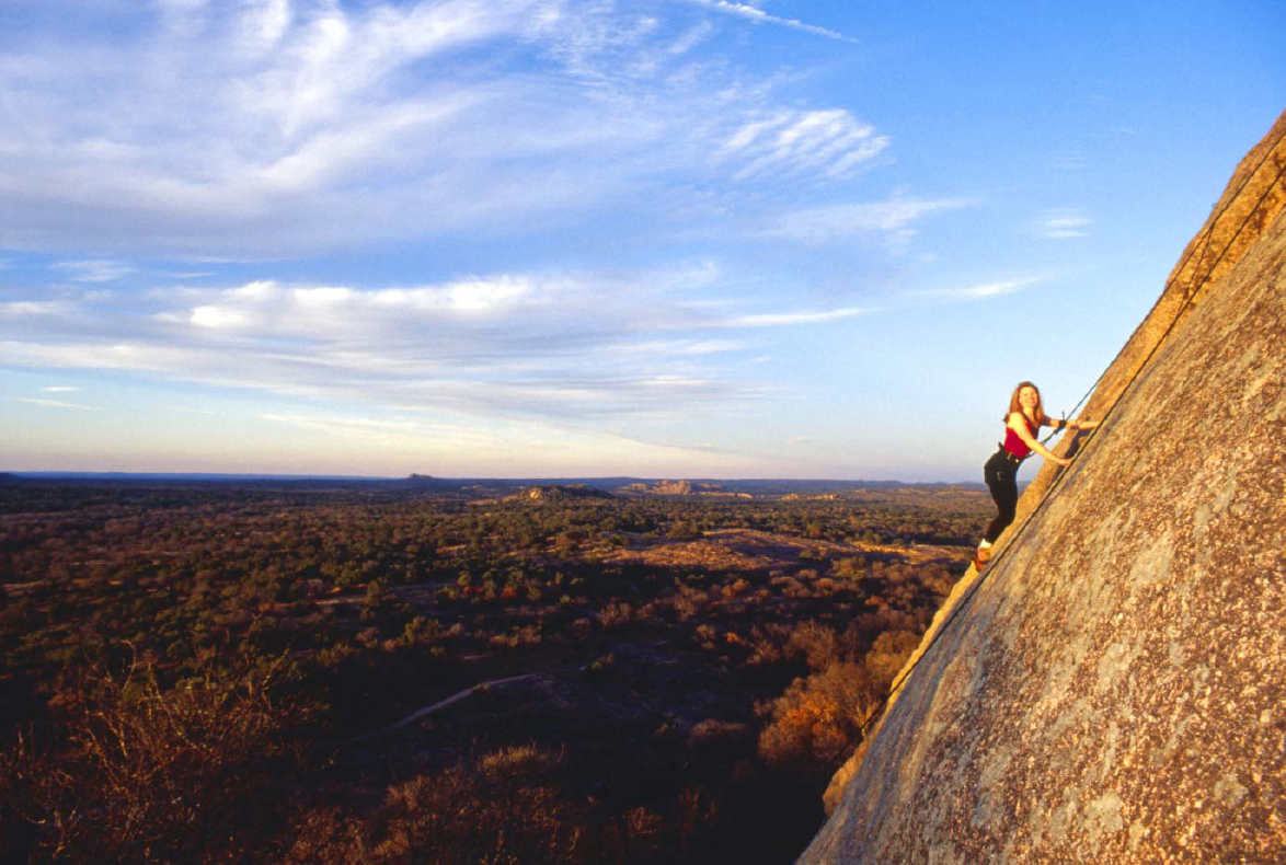
A climber on the Prok route, Enchanted Rock State Natural Area
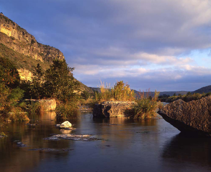
Springs along Devils River
Views
Enchanted Rock State Natural Area
Hill Country State Natural Area, Twin Peaks Trail
Highway RM 337
Water
Amistad National Recreation Area, Pecos River Arm
Devils River State Natural Area
Austin, Lady Bird Lake
Honey Creek State Natural Area
Colorado Bend State Park, Gorman Falls
West Cave Preserve
Hamilton Pool
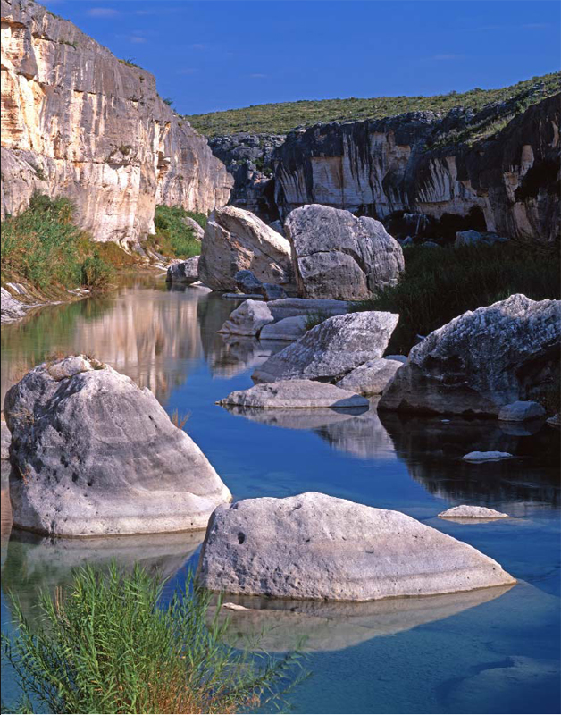
Amistad National Recreation Area. Pecos River arm of Amistad Reservoir at the upper reaches of the lake.
I. The Western Hill Country
1. Amistad National Recreation Area
Amistad Reservoir is on the far-western edge of the Hill Country, where the green hills farther east fade into the Chihuahuan Desert. Most people drive through the area on US 90 or US 277/377. With the exception of the high bridge over the Pecos River arm of the lake, there is little to be seen from the highway to attract photographers. However, the lake hides some very scenic sites.
The lake was created in 1968 by a dam on the Rio Grande built for flood control, water storage, recreation, and power generation. The dams location was chosen to be below the confluence of the Devils and Pecos Rivers. Lake levels fluctuate, with low levels being less favorable for photos. In early 2011, the lake levels were good. The lake lies on the border with Mexico.
Be sure to get some shots of the 273-foot Pecos High Bridge, the highest highway bridge in Texas, where US 90 crosses the lake west of Comstock. Take the side road to the boat ramp on the south side of the highway for a nice overlook on the canyon rim, or continue down to the water for a view of the bridge from below. The bridge is best shot early or late in the day.
Access to the best photo locations at Amistad requires a motorboat; distances are too great to reach via kayak or canoe. Trailer in your own boat or a friends or, if you have the necessary experience, rent one from the outfitters on the south side of the lake along US 90. You can obtain a boating permit at Amistad headquaters, or from vending machines at the Pecos River, Diablo East, or Rough Canyon. Bring a friend along for safety and to serve as a possible photo subject. If possible, have onboard a brightly colored kayak or other port able craft. Bring water shoes for wading. One word of caution: Be sure to stay on the American side of the lake if you do any boating here. Although Amistad hasnt had much problem with respect to criminal activity, the border areas of Mexico have become increasingly violent.
The boat ramp at the High Bridge will give you access to the most scenic part of the lake. As you motor upstream, youll pass under the bridge. Watch for a rock shelter in the cliffs high above the lake on the right (best seen with binoculars). Youll be able to spot the large pictographs of the White Shaman Cave. The cave and surrounding land is owned by the Rock Art Foundation. Check the foundations Web site (www.rockart.org) for public access times. The cave is reached via a trail that begins in the foundation preserve.
As you continue upstream, the canyon narrows and the walls tower above. Dead Mans Canyon forks off to the right and offers a good side trip before continuing up the Pecos. The large boulders that protrude from the water here can be great photo subjects, but they are also boating hazards. Proceed very slowly once you start seeing the boulders, and have someone at the front of the boat act as hazard spotter. The crystal-clear water, boulders, and towering walls make for beautiful shots, especially if the wind is calm and there are reflections. You will eventually reach the point where the Pecos River flows into the lake, halting further progress. If you have a kayak onboard, this area offers excellent boating shots. The best times to shoot here are early to midmorning and mid- to late afternoon. When the sun is too low, no light gets into the canyon. Make sure you allow sufficient time to boat back to the ramp or rental outfitter.
The canyon walls across from the boat ramp light up nicely early in the morning. A boat is not necessary for views of the canyon walls or the bridge from here. To photograph some good pictographs, boat downstream to the confluence of the Pecos and Rio Grande and go left, downstream on the Rio Grande. In about a mile youll see a huge rock shelter, Parida Cave, with a boat dock where you can tie up. You can photograph the faded pictographs inside the cave and, with a very wide-angle lens, views out the cave mouth. Continue down the lake for several miles to the mouth of large Seminole Canyon. Panther Cave, a large shelter cave with a dock, has some really great pictographs. To get good views, walk up into the cave and shoot through the gaps in the protective fencing. Panther Cave is best photographed in the morning, before harsh sunlight enters the shelter.


