Grateful thanks are due to Curtis Mann, Melinda Garvert, and Beth Shetter at the Sangamon Valley Collection, Lincoln Library; Joe Sonderman, fellow Arcadia Publishing author and Route 66 postcard collector; Tom Huber and Arlyn Booth at the Illinois State Library; Sue Waldmire at Cozy Dog Drive In; Bill Shea Sr. and Bill Shea Jr. at Sheas Gas Station Museum; and Jeff Berg at the Springfield Convention and Visitors Bureau. Without the outstanding Sangamon Valley Collection at the Lincoln Library and much previous research and preservation on the part of many historians and Route 66 enthusiasts, this book would not have been possible. To my editor Jeff Ruetsche and publisher John Pearson, I offer thanks for guidance, patience, and encouragement. To my friends and family, I give loving thanks for your unfailing support. And to Jim, thank you for the love in everything you do.
BIBLIOGRAPHY
Barton-Aschman Associates, Inc., in association with Archaeological Research, Inc. Route 66 Operational Guidelines. Prepared for the Illinois Department of Transportation, revised May 1997.
Dimont, Kathy, et al. Special Resource Study: Route 66. National Park Service, July 1995. Illinois State Journal
Kirchner, Charles, Charles Kirchner and Associates, Ltd. Lazy A. Motel. National Register of Historic Places Registration Form, 1994.
Power, J. C. History of Springfield Illinois . Reprinted by BiblioLife, LLC, 2009.
Seratt, Dorothy R. L. and Ryburn-Lamont, Terri, Route 66 Association of Illinois. Historic and Architectural Resources of Route 66 Through Illinois. National Register of Historic Places Multiple Property Documentation Form, 1997.
Springfield City Directories
Springfield Sun
State Journal-Register
Teague, Tom, Friends of the Sangamon Valley. Route 66 by Carpenter Park. National Register of Historic Places Registration Form, 2002.
Weiss, John. Traveling the... New, Historic Route 66 of Illinois . Wilmington, IL: John Weiss, 1997.
www.byways.org (National Scenic Byways Program)
www.digitalroute66.com (Digital Route 66)
www.illinoisroute66.org (Illinois Route 66 Scenic Byway)
www.nps.gov (National Park Service)
Find more books like this at
www.imagesofamerica.com
Search for your hometown history, your old
stomping grounds, and even your favorite sports team.
One
ROUTE 66 IN SANGAMON COUNTY
The 19261930 first alignment of Route 66 came through Williamsville and Sherman to the north of Springfield and exited the capital city through the village of Jerome before moving south through Chatham, Auburn, and Thayer and on into Macoupin County. This route took the traveler south to Carlinville. But by 1930, the demand for a more direct path that would go through fewer towns caused highway officials to change the route so as not to slow down the motorist. In the northern part of Sangamon County, highway sections were replaced, but the route remained basically the same. However, in 1930, the route south from Springfield was altered to flow from South Sixth Street through Litchfield. This meant that Chatham, Auburn, and Thayer had only four years to enjoy Route 66 business. The 1930 route came to be known as City 66 and utilized Peoria Road, Ninth Street, and Sixth Street to create a more or less straight path through Springfield. A decade later, a new route around Springfield, Bypass 66, was created. Bypass 66 turned off Peoria Road at the north end of the city, curved southeast, and then ran directly south on Thirty-first Street, later renamed Everett Dirksen Parkway. On the south side of Springfield, Bypass 66 turned east on Linn Avenue, later renamed Adlai Stevenson Drive, before hooking up with City 66 on South Sixth Street. From there it moved south alongside Glenarm before crossing into Montgomery County.
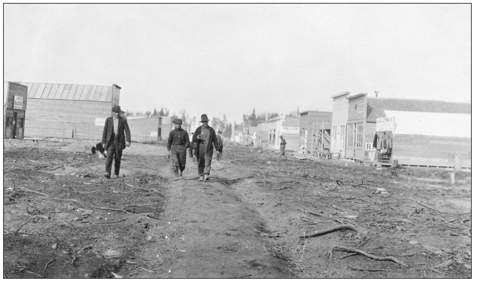
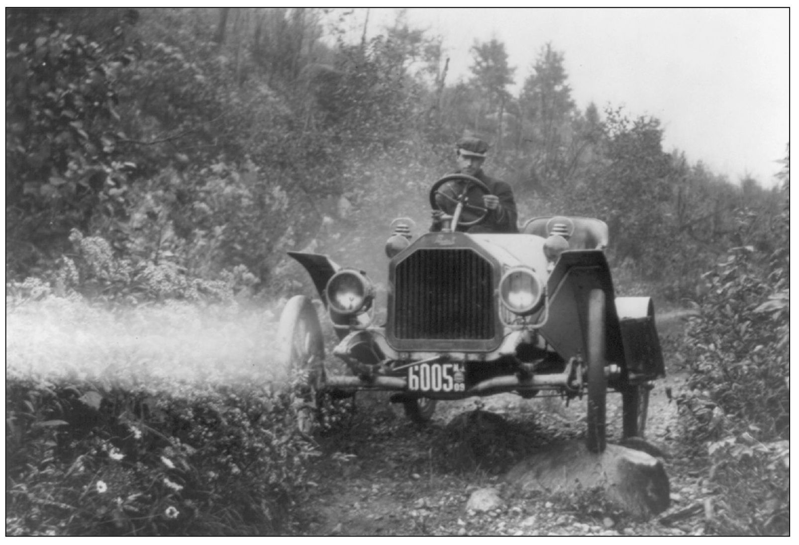
By the early 1900s, both federal and state officials, not to mention farmers, rural residents, and other travelers, realized the need to pave roads and move beyond the conditions seen in these two photographs. In 1900 there were 200,000 cars produced in the United States. Yet out of the nearly 100,000 miles of gravel or macadam roads in the country, Illinois only had about 8 percent. The State of Illinois began serious efforts to improve road conditions in the early 1900s. In 1905, a commission to study the Illinois road system was established, and in 1910, state licensing of vehicles was required, with the fees to go toward road construction. The Tice Road Act, which approved state bonds for roadway improvements, was passed in 1913. (Both courtesy of Library of Congress.)
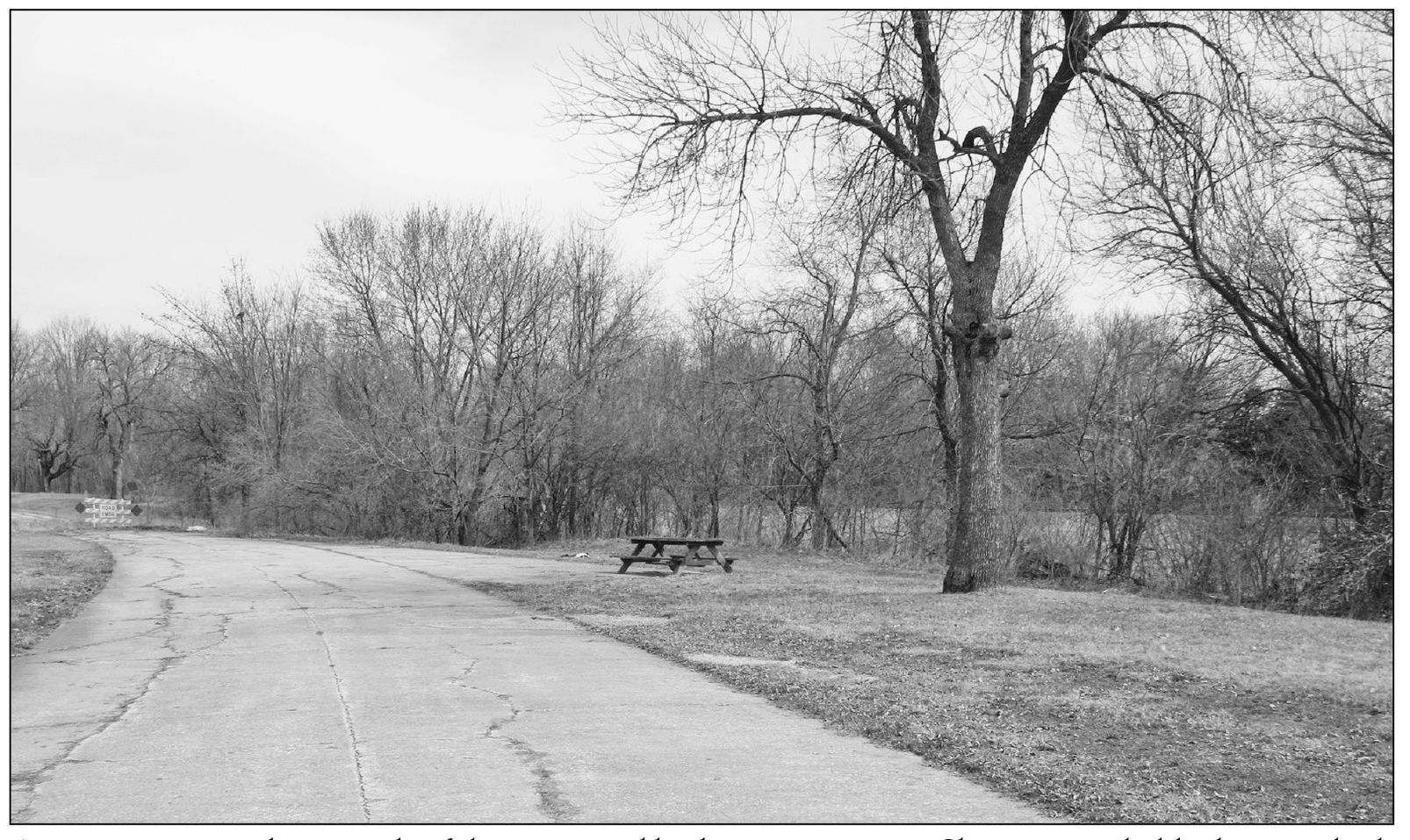
A contemporary photograph of the preserved highway rest area at Sherman probably does not look much different than a vintage picture would. Early rest areas did not have modern conveniences like restrooms, coffee vending machines, and wall-mounted highway maps like 21st-century motorists enjoy. An early Route 66 traveler would count himself lucky to find a picnic table under a shade tree. (Photograph by Cheryl Eichar Jett)
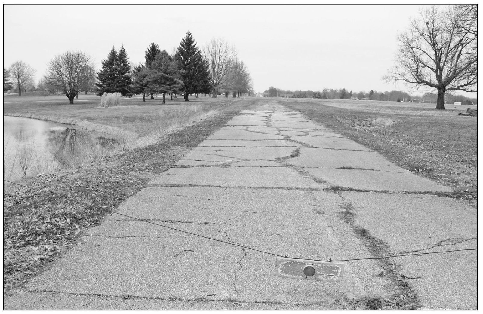
The Carpenter Park segment is an abandoned quarter-mile section of roadbed that has not been in use by automobile traffic since 1936. Located north of Springfield in Springfield Township, it is a two-lane, 16-foot-wide example of 1922 highway engineering. Like other sections of highway, this was an existing road redesignated as Route 66 in 1926. (Photograph by Cheryl Eichar Jett.)
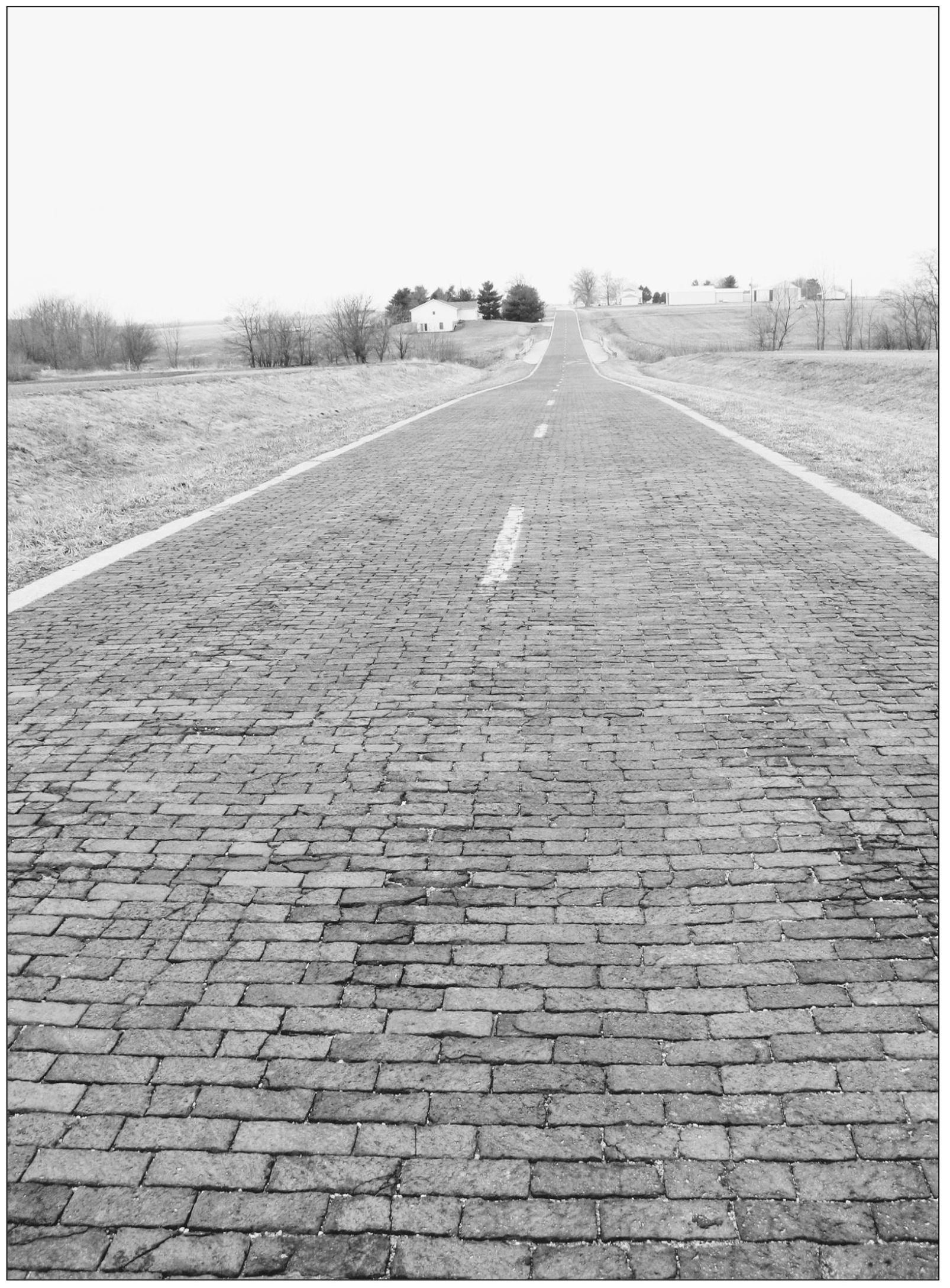
Known today as the Auburn Brick Road, this 1.53-mile section was originally part of State Route 4. It is a well-preserved example of early highway construction and contains two original single-span concrete bridges that were constructed in 1920. Another section of this historic segment was constructed in 1921, consisting of 1,277 feet of 16-foot-wide Portland cement. (Photograph by Cheryl Eichar Jett.)
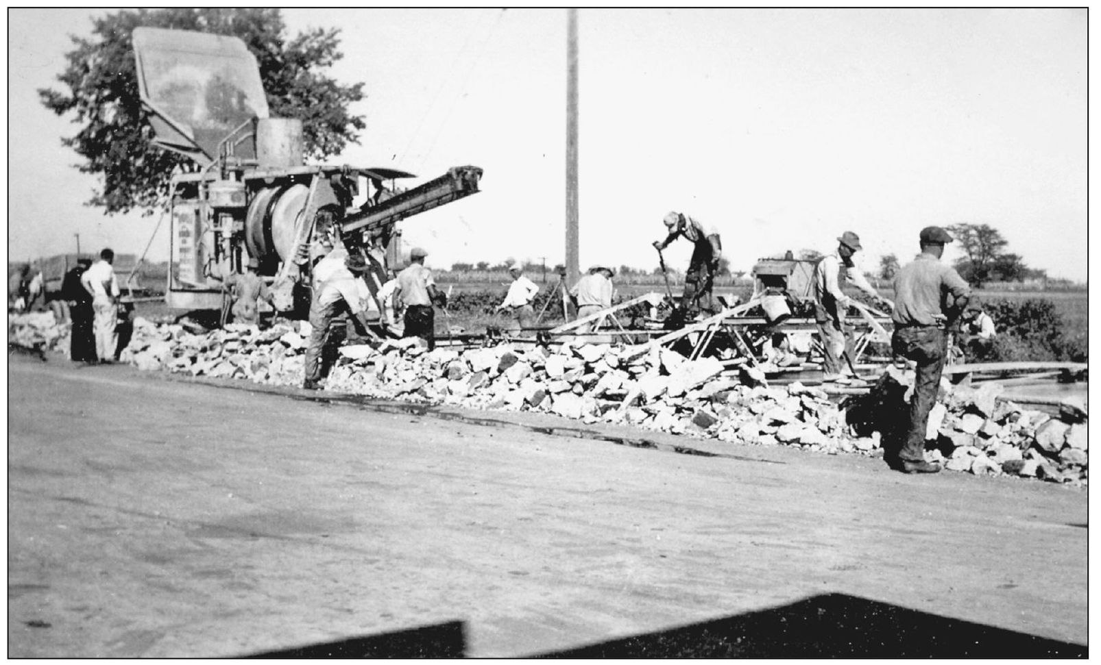
In 1930, Route 66 was directed down South Sixth Street out of town to the south. In this view, roadwork is being done to prepare the new section of highway that curved around Copps Corner. The Copp family was busy building a half-dozen new businesses to serve travelers as they rounded the corner of the new Route 66. (Courtesy of Sangamon Valley Collection, Lincoln Library.)

