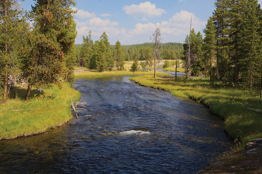
With a trail through its length, Nez Perce Creek flows from headwaters deep in Yellowstone National Park and through lodgepole groves, meadows, and wetlands to its confluence with the Firehole in Wyoming.
After college I worked for ten years as an environmental planner. Im a Visiting Scholar with the Department of Geography at Portland State University and have been an Associate of the Riparia Center in the Department of Geography at Pennsylvania State University. I often speak and give slide shows at conferences nationwide. Let me show you my work at www.timpalmer.org.
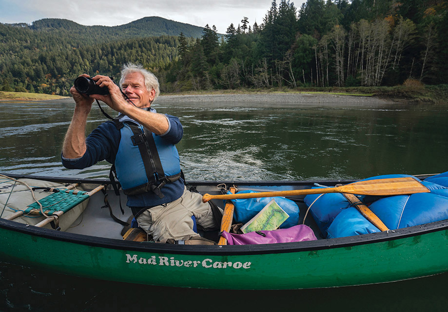
For many years I used a Canon A-1, but most of the photos here were taken with a Canon 5D digital camera with 17-200 L series zoom lenses and a 50 mm L series lens. For adventures when a small kit is needed, I pack a Fujifilm digital X-E2. When boating, I carry a waterproof Canon PowerShot in my pocket.
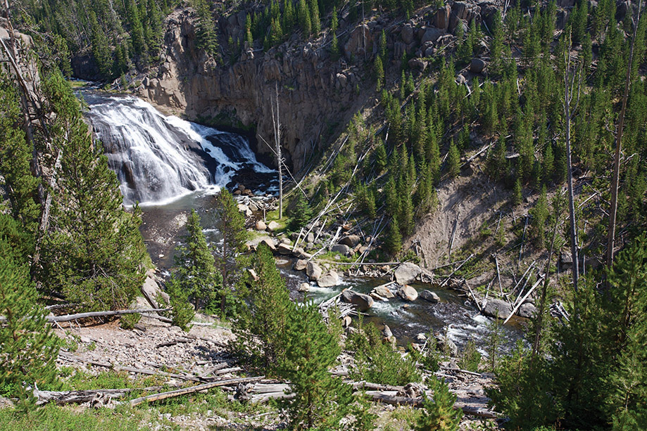
Major tributary to the Firehole, the Gibbon River sprays over its largest waterfalla busy site for travelers in Yellowstone National Park in Wyoming.
With the goal of showing landscapes as accurately and realistically as possible, I limit myself to minor post-photo adjustments for contrast and color under Apples most basic photo program. I use no artificial light or filters, and do nothing to alter the content of the photos. The overriding principle of my work is to show the world as it is, and to share with others the beauty and adventures that Ive been privileged to see and experience in nature.
OTHER BOOKS BY TIM PALMER
Americas Great Forest Trails (2021)
Americas Great Mountain Trails (2019)
Americas Great River Journeys (2018)
Twilight of the Hemlocks and Beeches (2018)
Wild and Scenic Rivers: An American Legacy (2017)
Americas Great National Forests, Wildernesses, and Grasslands (2016)
Rivers of Oregon (2016)
Field Guide to Oregon Rivers (2014)
California Glaciers (2012)
Field Guide to California Rivers (2012)
Rivers of California (2010)
Luminous Mountains: The Sierra Nevada of California (2008)
Trees and Forests of America (2008)
Rivers of America (2006)
California Wild (2004)
Oregon: Preserving the Spirit and Beauty of Our Land (2003)
Pacific High: Adventures in the Coast Ranges from Baja to Alaska (2002)
The Heart of America: Our Landscape, Our Future (1999)
The Columbia (1997)
America by Rivers (1996)
Lifelines: The Case for River Conservation (1994)
Yosemite: The Promise of Wildness (1994)
The Wild and Scenic Rivers of America (1993)
Californias Threatened Environment (1993)
The Snake River: Window to the West (1991)
The Sierra Nevada: A Mountain Journey (1988)
Endangered Rivers and the Conservation Movement (1986)
Youghiogheny: Appalachian River (1984)
Stanislaus: The Struggle for a River (1982)
Rivers of Pennsylvania (1980)
Let me offer deep appreciation here to the Western Rivers Conservancy for the use of information I gleaned while preparing their Great Rivers of the West Report. Thanks to WRC even more for the fine work it does in protecting streams throughout eleven western states.
For reviews of state chapters, thanks to the following experts. Many others reviewed specific river segments.
Colorado: Mike Fiebig and Matt Rice of American Rivers Colorado office
Idaho: Bill Sedivy, former director of Idaho Rivers United; Russ Thurow, fisheries biologist, US Forest Service
Montana: Scott Bosse of American Rivers Montana office; Kit Fischer, author of Paddling Montana
Wyoming: David Cernicek of the US Forest Service; Roger Smith, river enthusiast and director of the Teton Raptor Center
Matt Mayfield calculated data at the openings of each river description using Geographic Information System technology.
Steve Gordon of Cartagram prepared the maps with his special technical and artistic skill.
For review of specific river descriptions, thanks to Kirk Blaine of the Eagle River and now the Native Fish Society; Sam Carter of Dolores River Boating Advocates on the Dolores and San Miguel; Kent Ford on the Animas River; Gary Gadwa from the upper Salmon River; Bill Hoblitzell of the Eagle River; Hilary Hutcheson, rafting/fishing guide and owner of Larys Fly and Supply at the Flathead River; Patrick Kennedy, eastern Idaho regional fisheries biologist, Idaho Department of Fish and Game; Torsten Krell in Denver; Holly Loff of the Eagle River Watershed Council; Colter Pence of Flathead National Forest; Chuck Pezeshki of the North Fork Clearwater; Lisa Ronald at the Clark Fork; George Sibley, author and historian from the Gunnison River; and Kent Vertrees, Friends of the Yampa.
For logistical help, information, and other aid, thanks to Bob Banks at the Yellowstone River; Len Carlman in Jackson; Curtis Chang of OARS in Lewiston; Bill, Jackie, and Matt Dvorjak of Dvorjak Expeditions on the Arkansas River; Matias Floras of Dvorjak Expeditions; Verne Huser of the Snake River and many river writings; Al Kesselheim, river-running sage of Montana; Caroline and Mike Kurz of the Clark Fork River in Missoula; Doug Proctor of Selway River Adventures; Leo Rosenthal of Montana Fish, Wildlife and Parks at the Flathead; and Ron Watters and Katherine Daly, coauthors of Guide to Idaho Paddling.
My wife, Ann Vileisis, was a source of inspiration and help of every kind imaginable, and her companionship on many of these rivers was the finest part of the journey.
The table below lists boating runs by whitewater class, which is determined by the hardest rapid. For many rivers, more than one reach can be paddled.


