POSTCARD HISTORY SERIES
Scioto
County
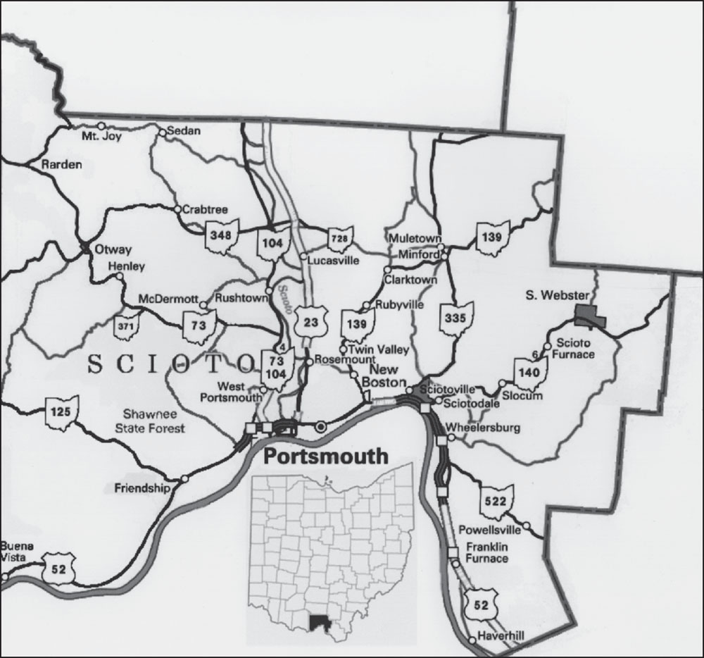
Only three weeks after Ohio became a state, the Ohio legislature designated and named Scioto County on March 24, 1803, taking its name from a Native American word for deer. The county covers 612 square miles and has a current population of approximately 80,000. Branch Rickey, Roy Rogers, Al Oliver, Larry Hisle, and Gene Tenace are among the many notable people who have called Scioto County home. (James Detty III.)
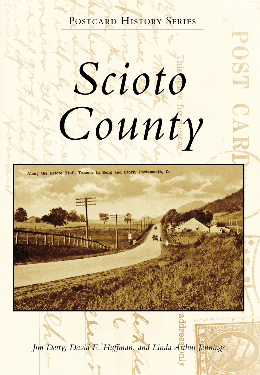
ON THE FRONT COVER: A picturesque scene between Rosemount and Lucasville is shown on this c. 1918 postcard featuring Scioto Trail. Initially a dirt road extending north from Portsmouth toward Lucasville and beyond, Scioto Trail changed names several times. It was a toll road from the mid-1800s until February 1880 and was reclassified as US Route 23 in 1927. In 1954, a multimillion-dollar project expanded it into a four-lane highway. (Bill Glockner Collection.)
ON THE BACK COVER: Athletic Park, located on Kendall Avenue, was the site for summertime baseball games, including an 1869 contest between the Portsmouth Riversides and baseballs first professional team, the Cincinnati Red Stockings. During the winter, water from the Young Street spring was used to flood the park, creating an ice-skating rink, as shown in this 1908 scene. The park was removed when Dreamland Pool was constructed in 1929. (Paul ONeill Collection.)
POSTCARD HISTORY SERIES
Scioto
County
Jim Detty, David E. Huffman, and Linda Arthur Jennings

Copyright 2017 by Jim Detty, David E. Huffman, and Linda Arthur Jennings
ISBN 978-1-4671-2517-8
Ebook ISBN 9781439659915
Published by Arcadia Publishing
Charleston, South Carolina
Library of Congress Control Number: 2016952578
For all general information contact Arcadia Publishing at:
Telephone 843-853-2070
Fax 843-853-0044
E-mail
For customer service and orders:
Toll-Free 1-888-313-2665
Visit us on the Internet at www.arcadiapublishing.com
We would like to dedicate this book to our families for their encouragement, patience, and understanding during the countless hours spent preparing this book.
CONTENTS
ACKNOWLEDGMENTS
Due to the positive feedback on our first Arcadia Publishing book, Portsmouth, we decided to write another, this time expanding to include Scioto County. Once again, we relied heavily on the early historians who had the insight to document the history of the county; Nelson Evans, Elmer Swords, and Helen Christian were among the most successful in doing so. Henry Lorberg, Carl Ackerman, and Bill Glockner must also be mentioned, since they had the forethought to preserve local history through photographs and postcards. The authors also found little-known gems of information through hours of searching the Portsmouth Daily Times and the Polk city directories.
The compilation of this book would not have been possible without the following individuals and their collections: Susie Beaumont, Sharon Bender, and Sandy Dupuy. We are deeply indebted to Paul ONeill, who generously gave us access to his vast postcard collection. We would also like to thank Elaine Evans, Janet Humble, Jon Wickline, the Lucasville Historical Society, Portsmouth City School Archives, and the Portsmouth Public Library Local History Department for their assistance.
Every effort has been made to ensure the historical accuracy of this book. Unless otherwise noted, all images are from the collections of the authors.
INTRODUCTION
The Merriam-Webster dictionary defines a postcard as a card on which a message may be sent by mail without an envelope and that often has a picture on one side. While this definition is accurate, a postcard can be a whole lot more. Beginning in the 19th century, these pieces of thin cardboard not only allowed people to communicate with each other, they unintentionally helped to record history. With the many modern means of communication, it may be hard to imagine sending a 1 postcard to a friend or relative, whether they live hundreds of miles or just a few blocks away, just to convey a message. As an added bonus, these cards typically featured artists drawings or actual photographs of items of interest to the sender or the receiver (or both).
What made early postcards unique was how they inadvertently captured everyday life, allowing future generations to learn about and appreciate the ways people lived. While it was impossible for these few postcards to record everything, we are blessed to view them a century later. Fortunately for us, some of the artists lived and worked in Scioto County, Ohio.
Scioto County was first settled around 200 BC by what was later called the Hopewell Culture. The Mound Builders, which they are more commonly referred to as, were craftsmen who made beautiful objects from bone, metal, shells, and stone. The Mound Builders also created many elaborate mounds of earth in Southern Ohio and Northern Kentucky. Within Scioto County, Portsmouths Mound Park and Tremper Mound, located northwest of Portsmouth, remain as evidence of their existence.
Later Native American tribes established themselves in the area around 1650, when the Wyandot Indians took advantage of the uninterrupted wilderness for hunting black bear, bison, elk, foxes, wolves, and an abundance of small game. The many creeks and rivers also produced an ample supply of fish. During the mid-1700s, the Shawnee tribe settled in the region with the objective of providing food and shelter for their families while simultaneously protecting themselves from outside intruders. The word scioto was created from the language of these tribesthe Wyandot used the term sci-on-to to refer to falling or freshwater, while the Shawnee used sci-o-to to define deer or the hunting of deer. Although the purpose and goals of the Shawnee were admirable, their presence in the area was relatively brief.
By 1796, the first white settlers arrived in the area, forming a community near the mouth of the Little Scioto River at present-day Sciotoville. In what seemed like the blink of an eye, thousands of white settlers poured into the Ohio Valley and surrounding areas, and the Native Americans, who had lived there for centuries, were soon forced out. As new towns were established and Indian villages were replaced with white settlements, it soon became evident to those in Washington, DC, that the area should be a part of the United States.
When Ohio became the 17th state admitted into the union on March 1, 1803, the name Scioto County did not yet exist. The rolling hills and f latlands of the Ohio and Scioto River valleys were part of Adams County, one of only nine counties within the newly formed state. Events moved quickly within the state legislature, which assembled at the first state capital at Chillicothe. On March 24, 1803, the legislature agreed to dissect the eastern portion of Adams County and create Scioto County. With a population of only a few hundred pioneers, Scioto County was born. Two weeks later, Judge John Collins and three of his associates were appointed to organize townships within the new county. During a meeting at Judge Collinss home in Alexandria, the designated county seat (located just west of the conf luence of the Scioto and Ohio Rivers), the group formed the townships of Nile, Union, Upper, and Seal.
The townships were further divided over the years from the original four into sixteen. Although Nile and Union Townships kept their names, they changed in size. Green, Jefferson, and Madison Townships were formed prior to 1810. The next decade saw the establishment of Bloom, Porter, Washington, and Vernon Townships. Brush Creek, Morgan, Clay, and Harrison Townships were created during the 1820s and 1830s, while the creation of Valley, Rush, and Rarden Townships did not take place until the latter half of the 19th century.
Next page

