ACKNOWLEDGMENTS
Putting together any book could not be done without the help of many people. The author wishes to express gratitude to the following individuals and organizations: Matt Becher, Boone County Planning Commission, Boone County Public Library, Layne Cheesman, Donald Clare, Dorothy Coyle, Ralph Denham, M. Keith Dykes, Wilma Engle, Bruce Ferguson, Friends of Big Bone, Mark Jacobs, The Kentucky Post , Pat Lense, Betsy Maurer Ligon, Bob Maurer, Margaret Maurer, Doris Newland, Earl Newland, David A. Osborne, Sherry Pinson, Roger Rolfes, Jack Rouse, Michael Rouse, Ann Schrage, Hugh Skees, Bridget Striker, Turfway Park, Mayor Phil Trzop, John Vissman, and Harold Williams.
Although mentioned above, a very special thank you goes out to Bridget Striker of the Boone County Public Library and Matt Becher of the Boone County Planning Commission and the Historic Preservation Review Board. Their contributions to this book were tremendous. These two individuals are truly dedicated to preserving the history of Boone County and are making a difference.
Thank you to Richard J. Schrage (19171984), who still lives within me.
Finally thank you to Ann Schrage for her love, indulgence, and great editing skills.
Robert Schrage
Find more books like this at
www.imagesofamerica.com
Search for your hometown history, your old
stomping grounds, and even your favorite sports team.
Chapter 1
SCENES
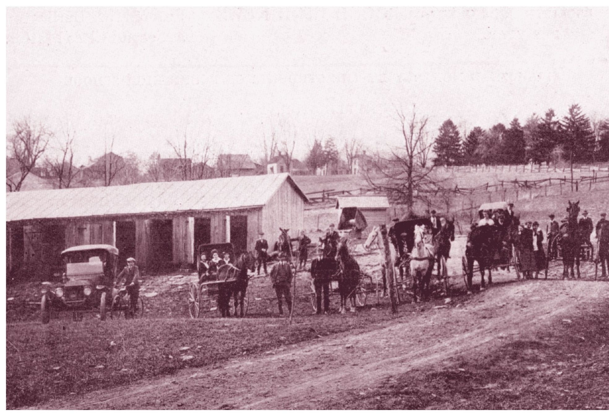
GOING HOME FROM SCHOOL. Students leave for home from Boone County High School in Burlington after a day at school. The school barn was for housing the horses and later cars. In this picture, it is a transition time between the use of horses and buggies and cars. This structure was located near the site of the current Burlington Elementary School.
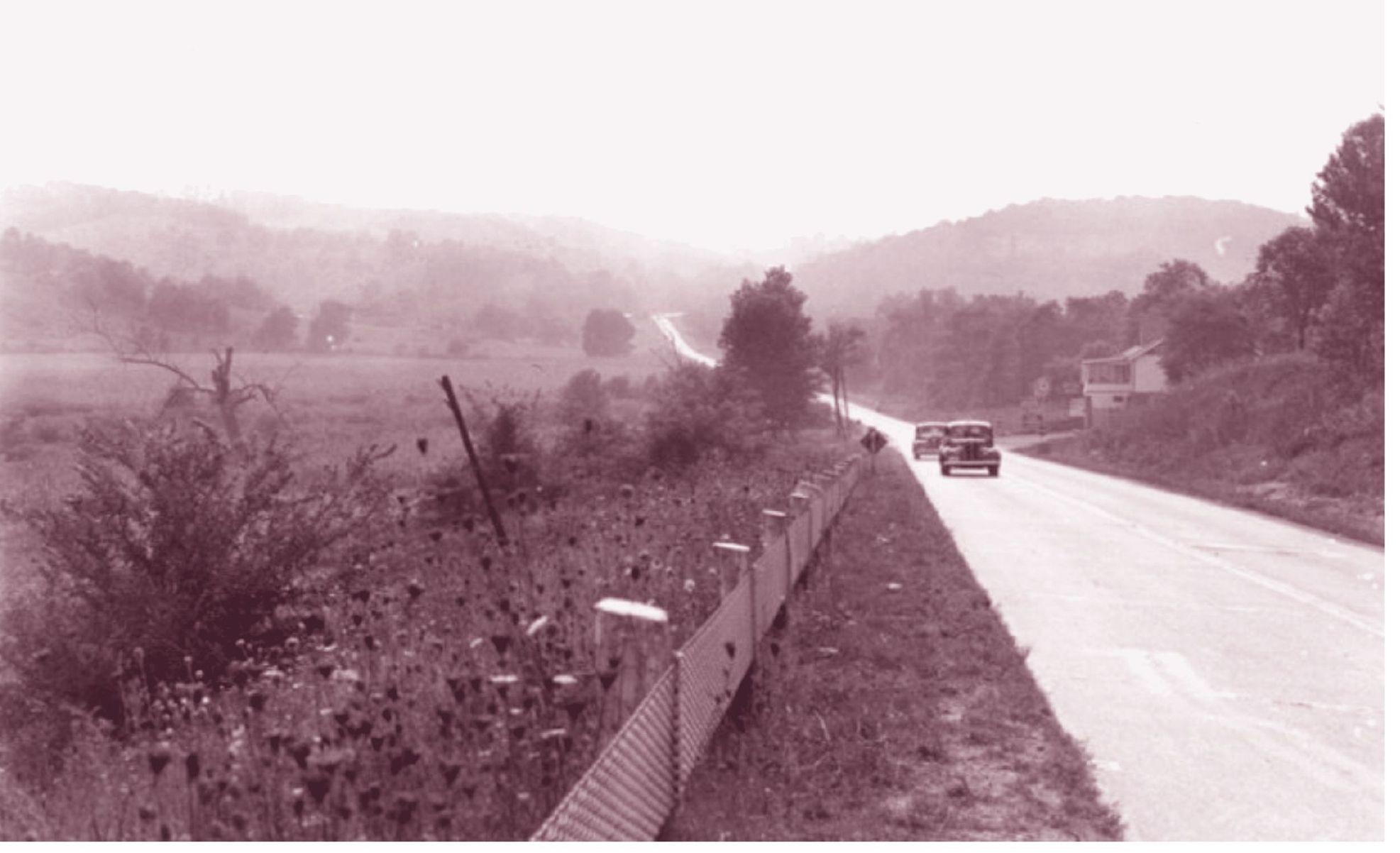
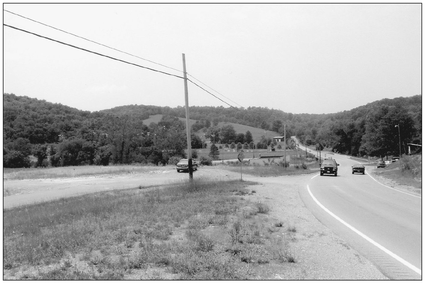
U.S. 42. This c. 1940 photograph was taken on U.S. 42 outside of the Beaver Lick area of Boone County. The old Duck Head Inn appears on the right of the vintage photograph, and what remains of it is in the new image. U.S. 42 at the time was the main route from Northern Kentucky to Louisville. Other than the paved Verona Mudlick Road seen on the left in the newer photograph, not much seems different.
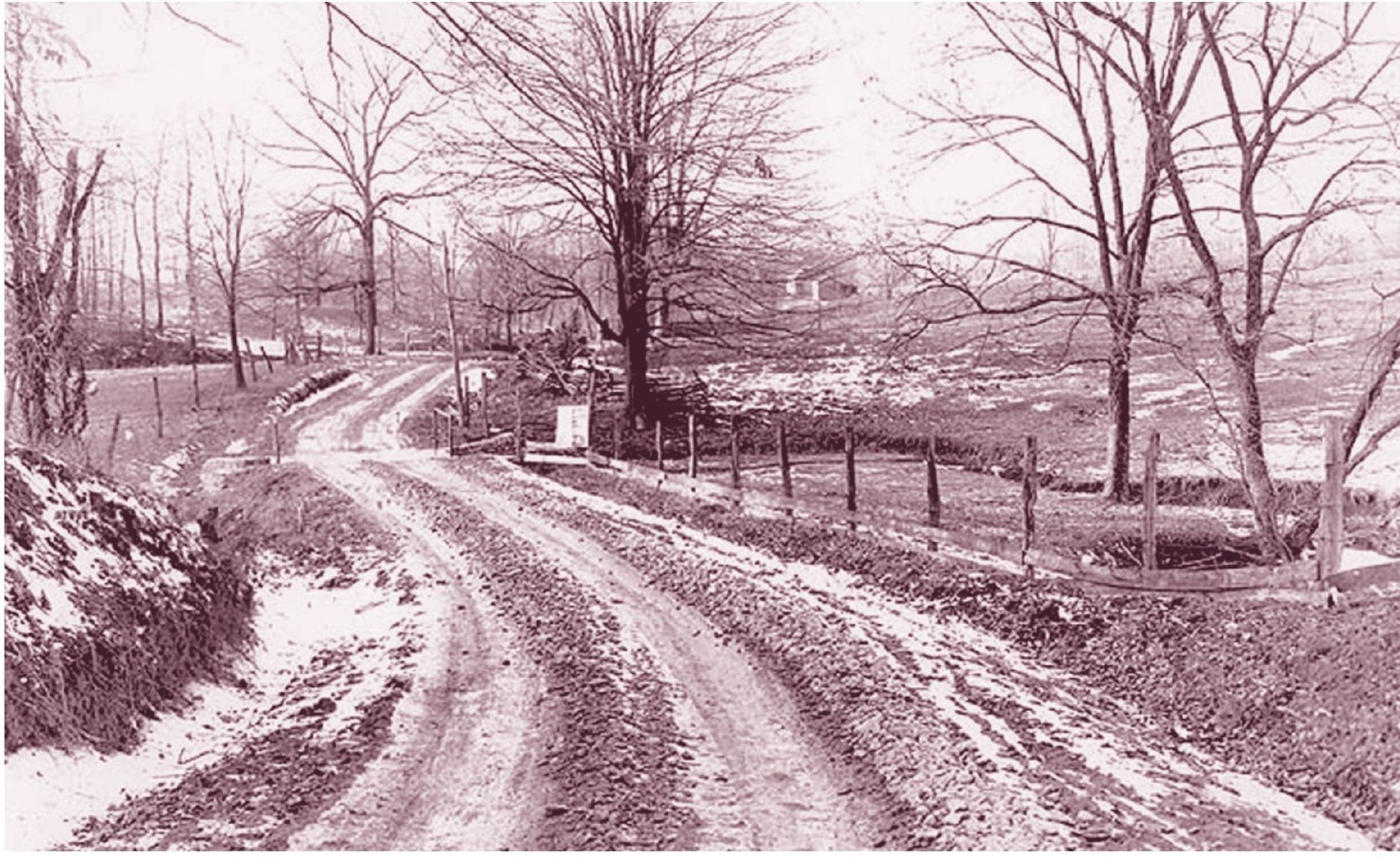
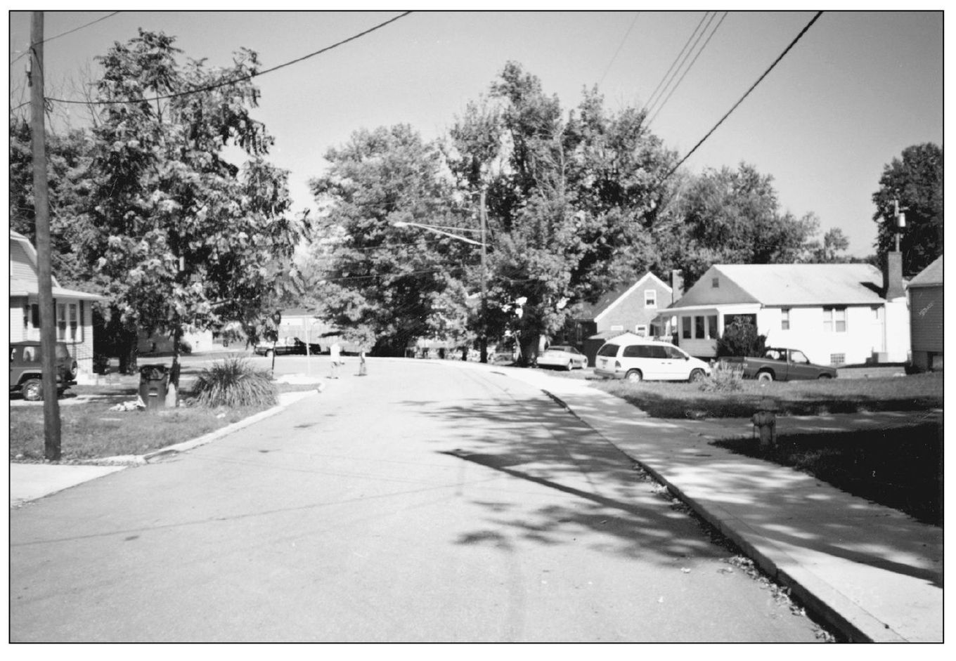
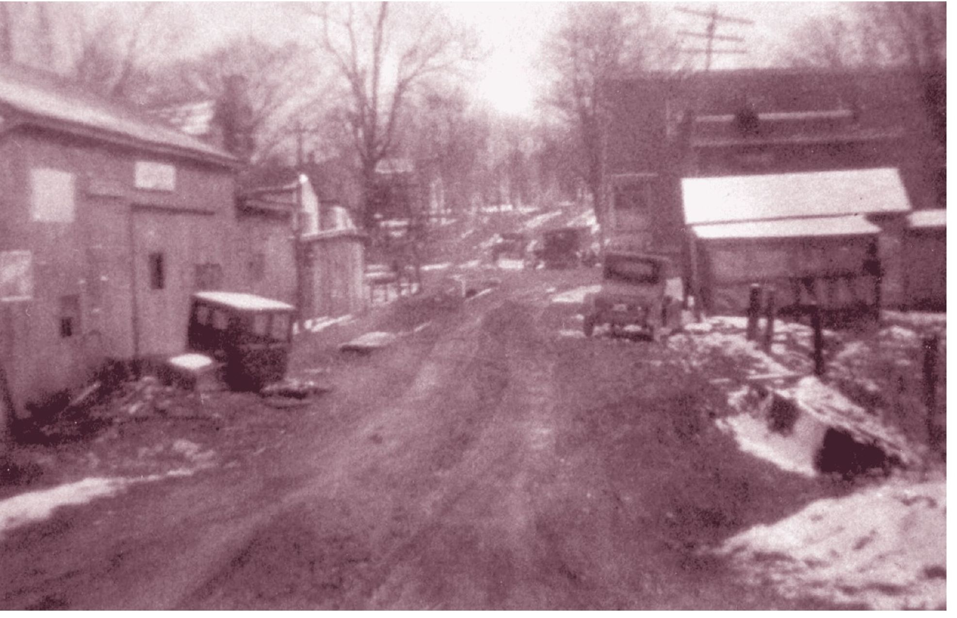
PRICE PIKE. Price Pike in Florence was a dirt road as seen in this photograph from the 1930s or early 1940s. Today it is a quiet paved street near busy Burlington Pike. In the late 1800s, when streets such as Girard, Shelby, and Main had many buildings, the future Price Pike was farmland on large lots. On the 1883 atlas, the part of Price Pike shown in these pictures, was on land owned by Barney Von Boken, and the lot went all the way to Main Street where the Florence Hotel sat.
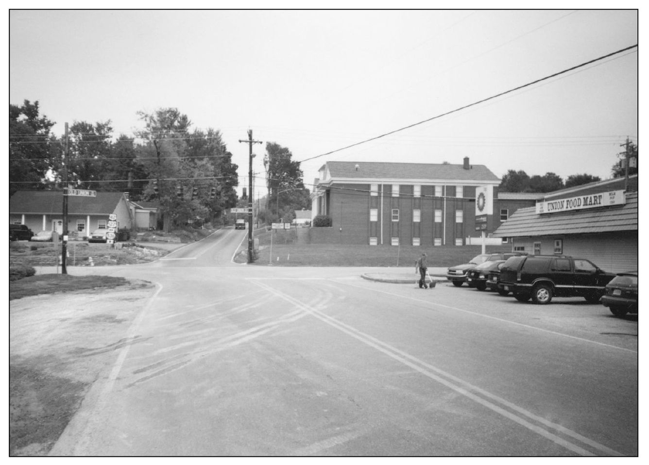
HATHAWAY IN UNION. This vintage picture shows Hathaway Road looking east toward Mt. Zion Road in Union. The taller building on the right side is the old Union Store, which had a central downtown presence until it was demolished in the 1990s. Its location was on the grassy area by the new Union Baptist Church. PNC Bank currently occupies the spot catty-corner from the old store.
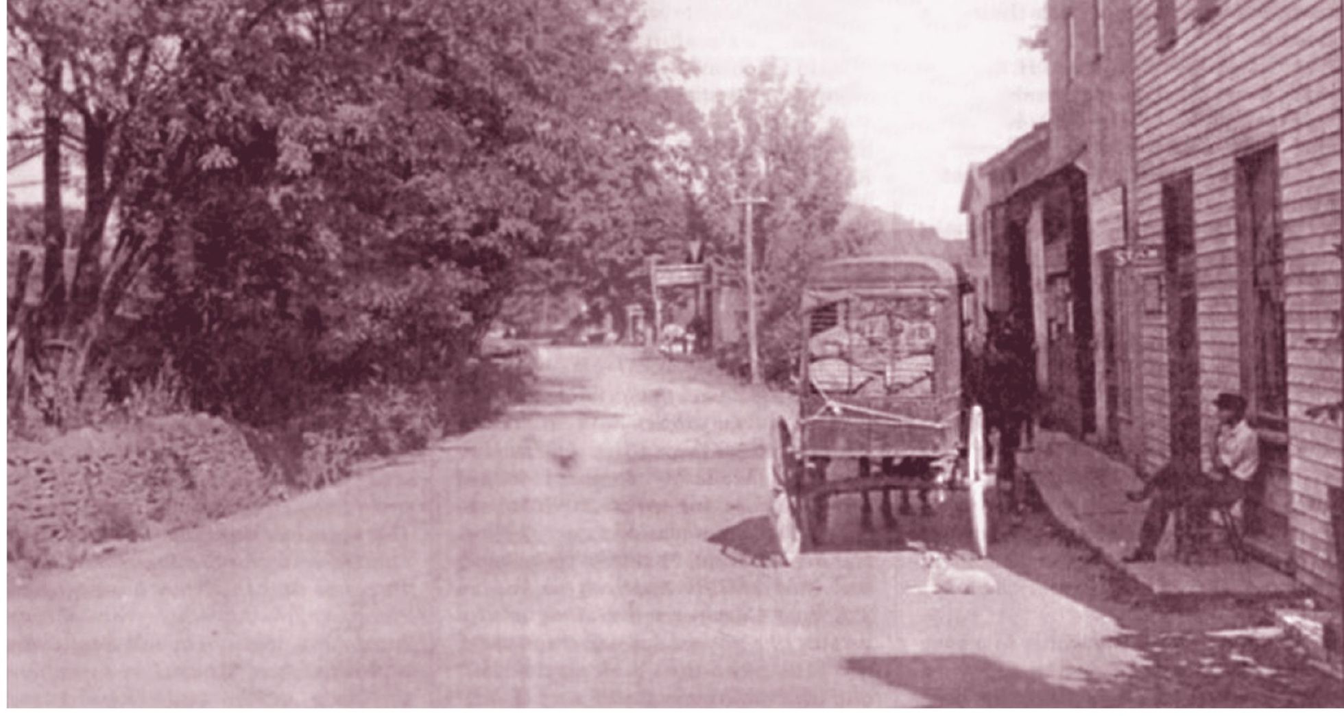
CONSTANCE RELAXATION. A man relaxes in front of a building in this photograph from the early 19th century. A wagon pulled by horses appears to be making deliveries. Constance, a small community along Route 8, sits below large hills that go up toward the Greater Cincinnati/Northern Kentucky International Airport. The building still stands in the heart of Constance, and a car sits in the same spot as the wagon, demonstrating the progress of the last 100 years.
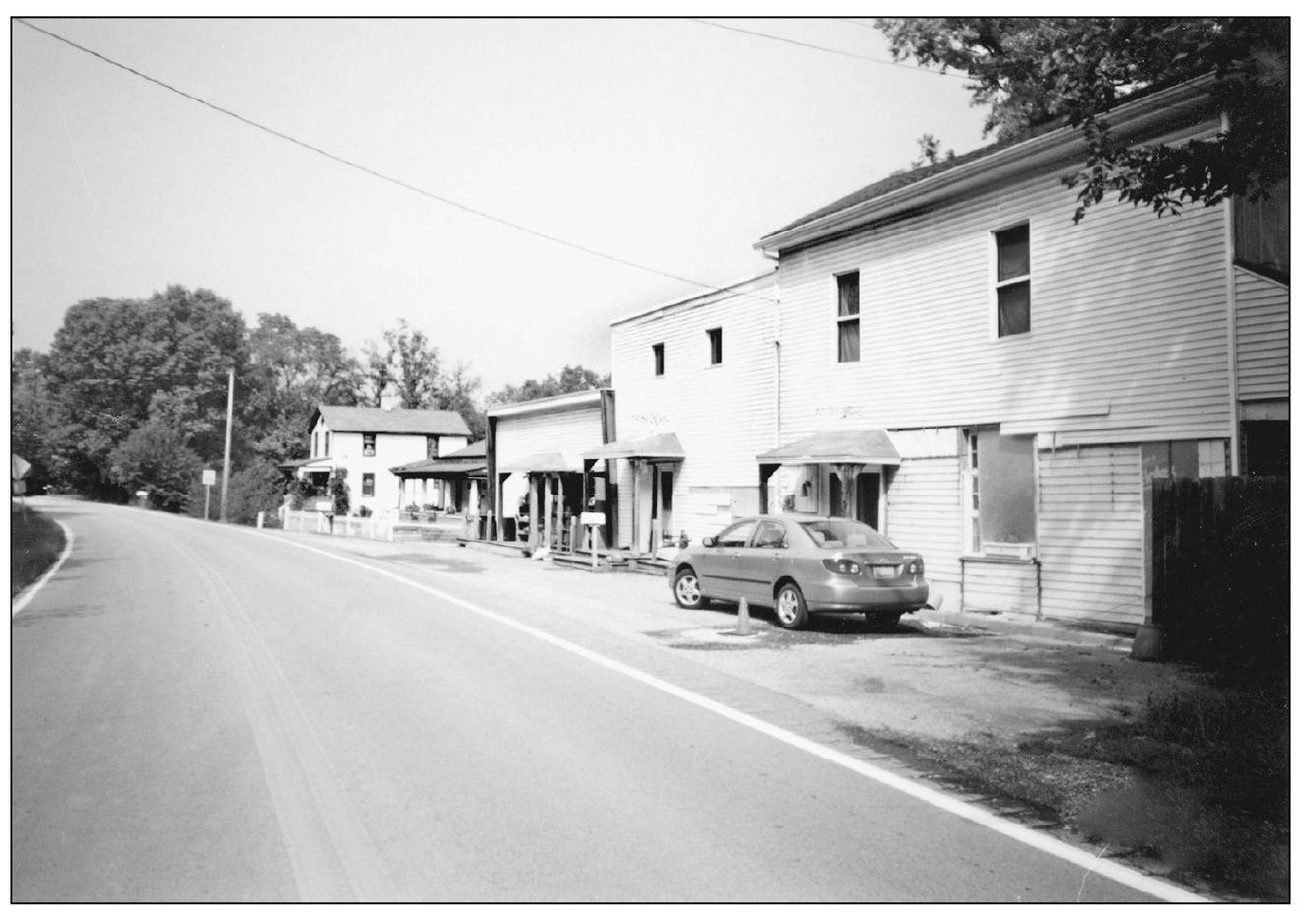
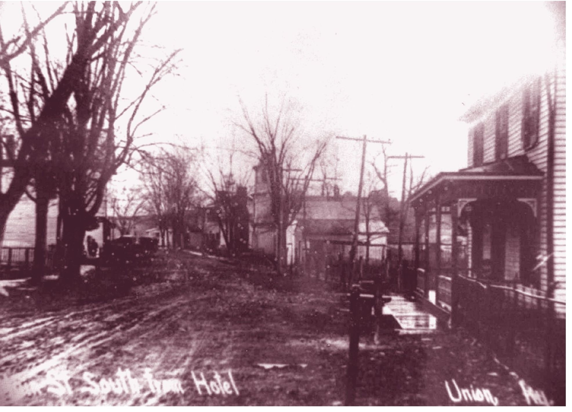
FROM THE UNION HOTEL. This undated photograph looks south on Route 42 in Union toward Mt. Zion Road from the old Union Station Hotel. Union grew as a community on the turnpike between Louisville and Cincinnati. The old Baptist church can be seen on the right side of the dirt road. The state recently built a bypass around this section of Union, and today it is much less traveled than at anytime in the recent past.
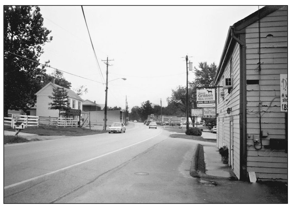
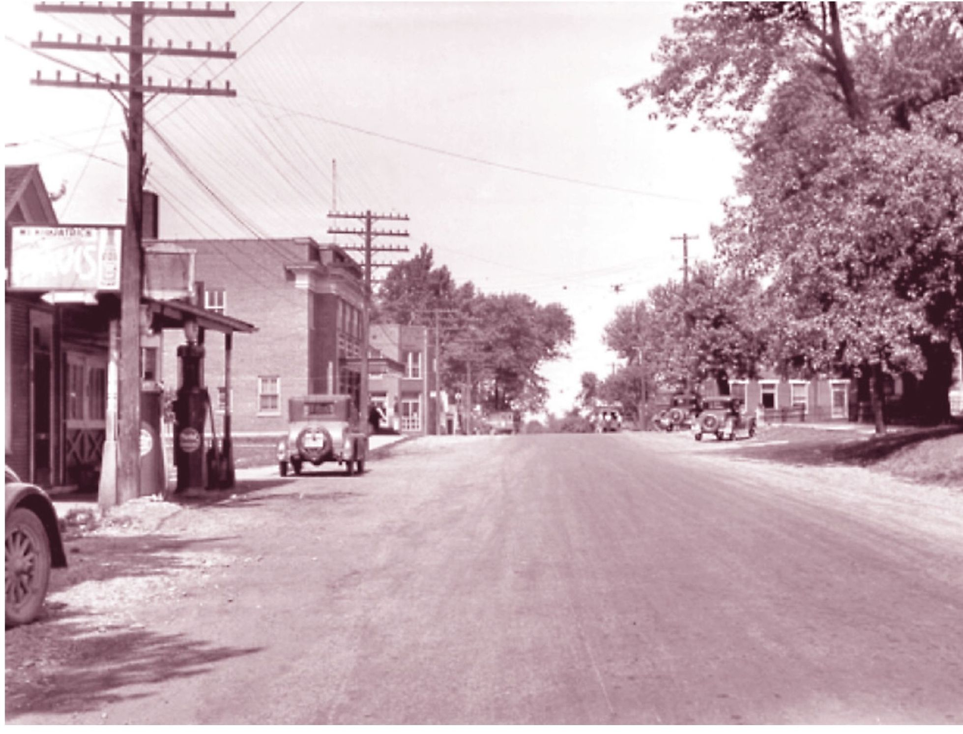
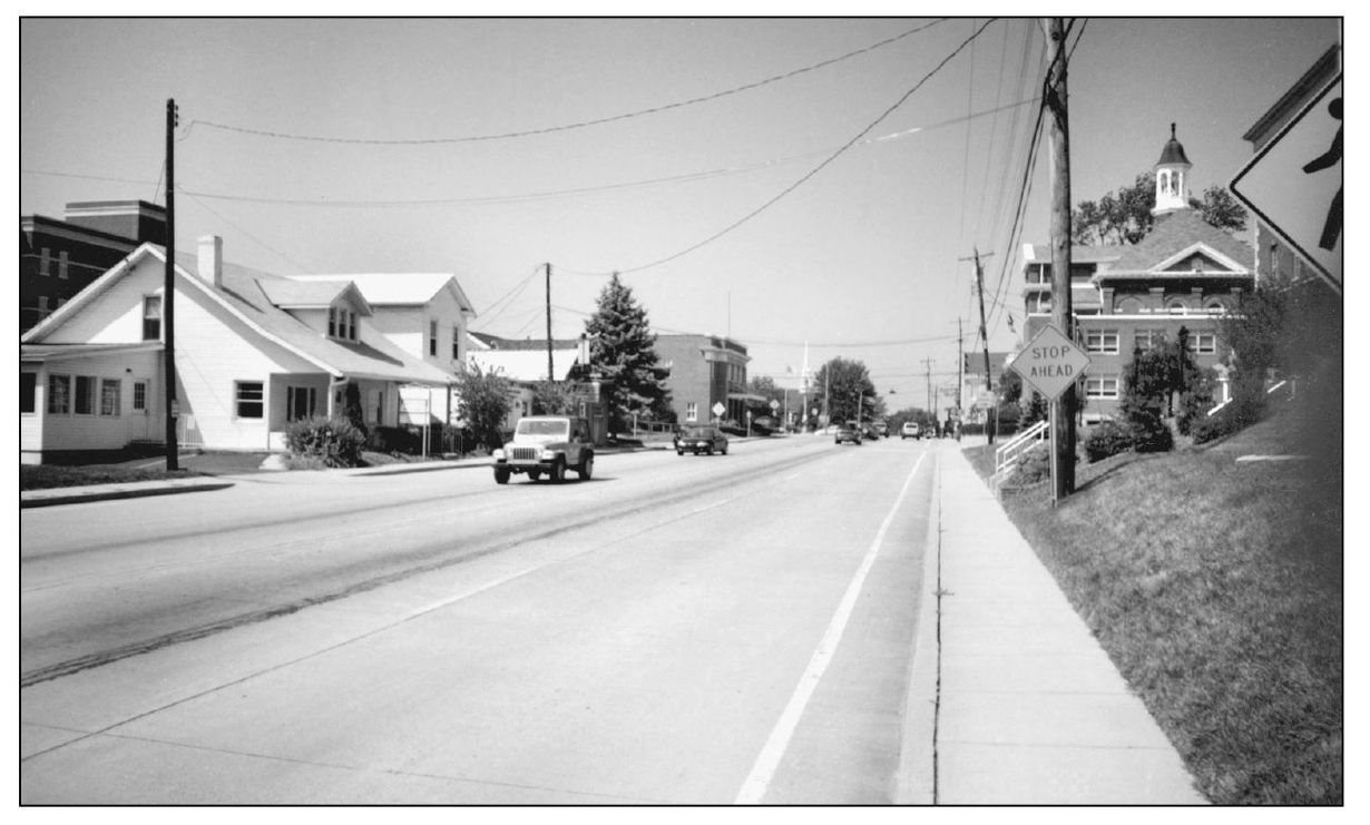
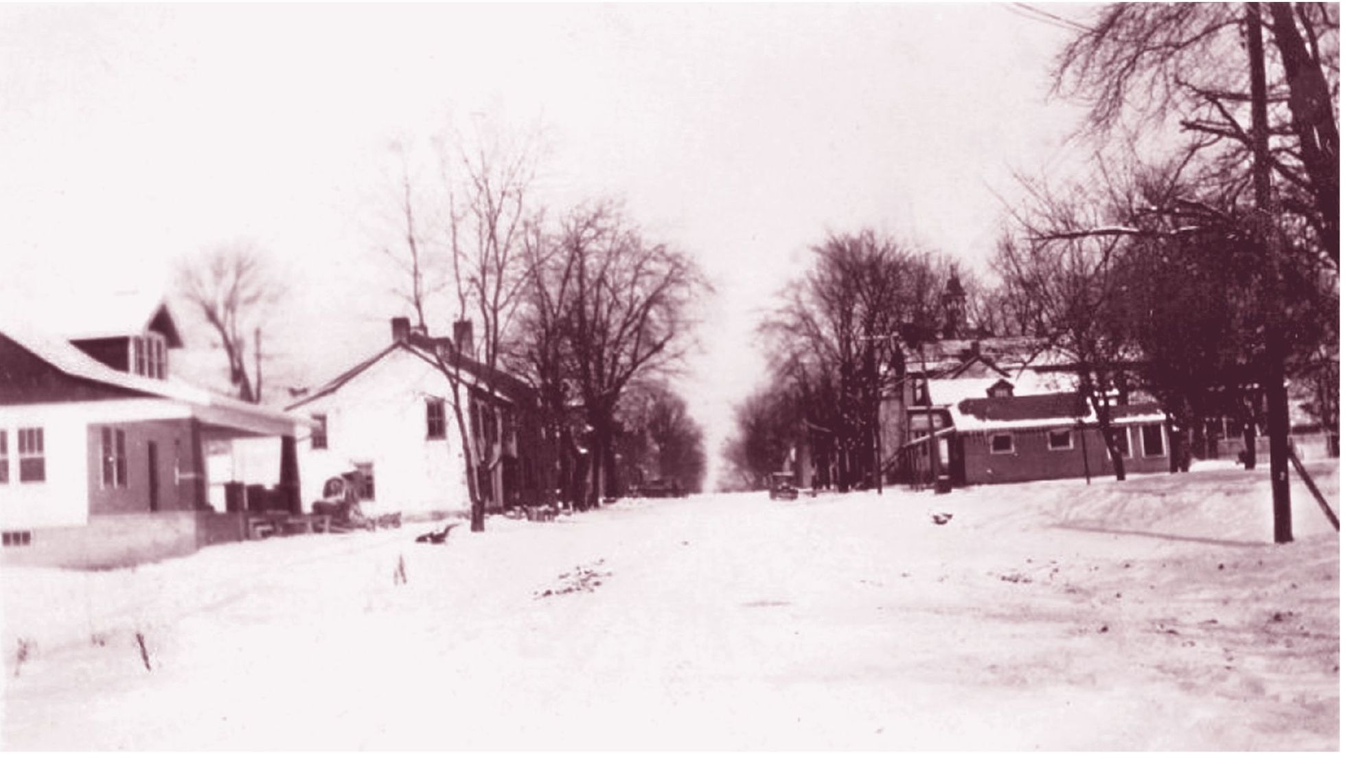
BURLINGTON, 1930S. A peaceful Burlington appears in this image from the 1930s. Today Burlington Pike is one of the most traveled roads in the county. The Boone County Deposit Bank building appears in both images, and the old courthouse is hidden by trees in one and is visible in the other. Surprisingly the dirt road of the 1930s is nearly as wide as the modern heavily traveled road of today.
AND JUSTICE FOR ALL. This northern view of East Bend Road from Torrid Street shows both the old and new of justice in Boone County. The single-family residence on the left can be seen in both photographs. However, the new Justice Center dominates the east side of the street. The old courthouse, built in 1889, sits in the distance. The octagonal cupola of the old courthouse can be seen through the trees in the old photograph.

