ACKNOWLEDGMENTS
The authors wish to thank Sue Clare and Ann Schrage for their support during this project and our children, Andrew and Ethan Schrage and Callie and Caitlyn Clare. Thank you also Karen Domaschko, Mayor Ann Deatherage, Tom Gaither, and Tall Stacks for supplying some of the images used in this book.
There have been many men and women over the years who have explored, grown up, raised families, and lived and died on the great Ohio River. This book is dedicated to them all. Finally we would like to acknowledge all the people and companies that have helped preserve the steamboats and their heritage of helping to build America. Today these individuals, companies, and events, such as Tall Stacks, have brought the past alive and saved this great part of our history.
Special thanks and acknowledgments also go to the Delta Queen Steamboat Company for their permission to use images of the Delta Queen , Mississippi Queen , American Queen , and the boats of Greene Line Steamers, Inc., and to Jefferson County, Kentucky, Fiscal Court and Waterfront Development Corporation, Port of Louisville, Kentucky, for the images of the Belle of Louisville , Avalon , and Idlewild .
To Richard J. Schrage (19171984), who, except when serving his country during World War II, lived his entire life in an Ohio River town. Thanks again.
Find more books like this at
www.imagesofamerica.com
Search for your hometown history, your old
stomping grounds, and even your favorite sports team.
One
CINCINNATI
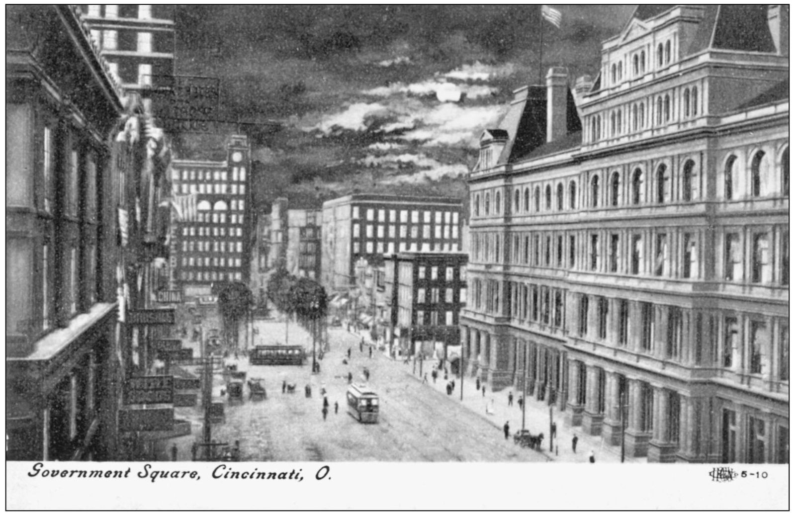
Cincinnatis Government Square is a major bus transportation center for the city. This vintage image shows the square that has been reconstructed many times over the years. In 2006, the latest revamping updated the area with new shelters, lanes, landscaping, and aesthetics. Government Square is located on Walnut and Fifth Streets and was named because of its location to the federal office and courthouse buildings and a Federal Reserve branch.
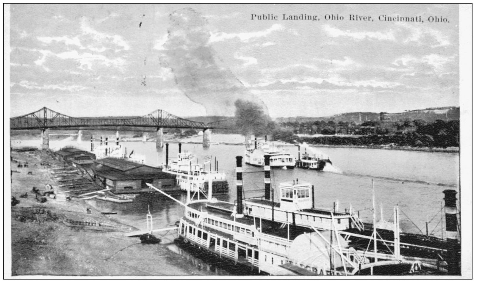
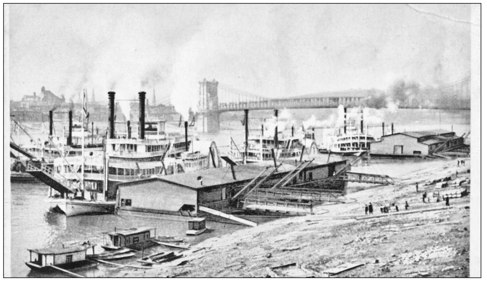
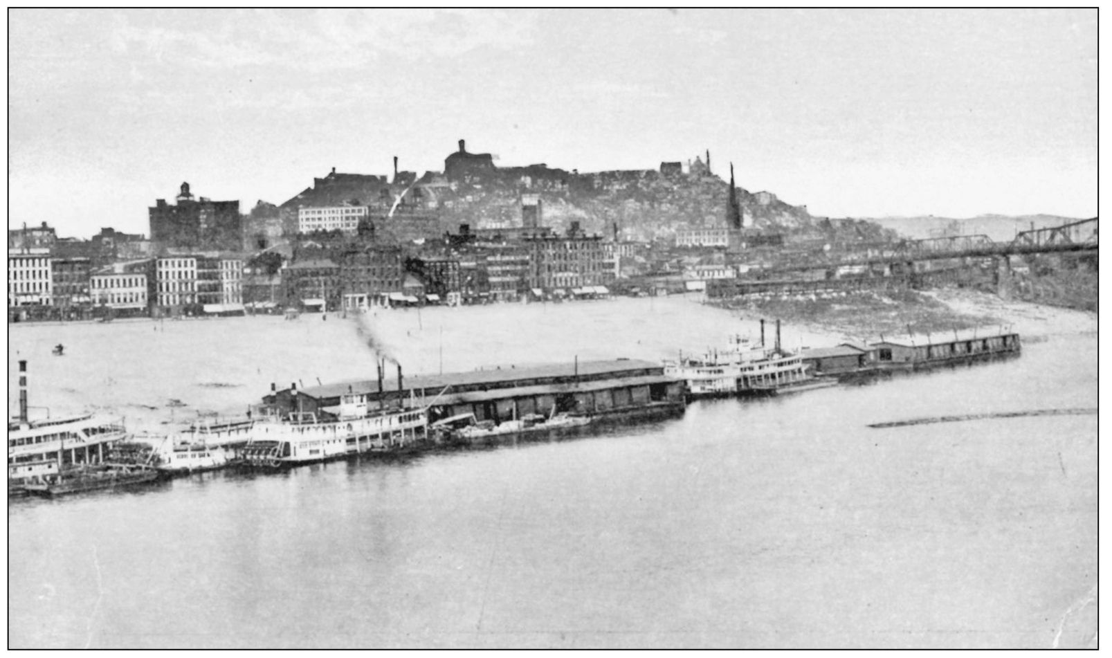
This is a 1923-postmarked view of the Cincinnati public landing looking upriver. The wharf boat facilities indicate that the river trade was still very much alive in the years before the Great Depression. Notice that this scene features mostly side-wheelers, whereas a scene 20 years earlier would feature stern-wheelers. Whether traveling upstream or down, these boats always landed or docked into the current, or facing upstream.
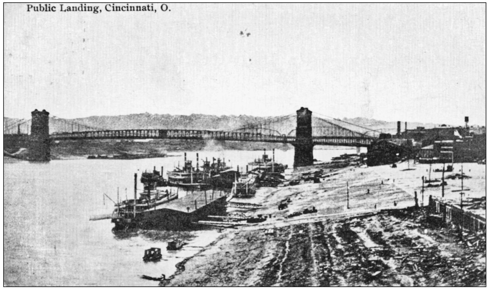
Postmarked 1910, this card again provides the image of the Cincinnati Public Landing but looking downstream toward the Roebling Suspension Bridge in the background, connecting Cincinnati, Ohio, with Covington, Kentucky, on the left bank. John Roebling began his type specimen wire suspension bridge in 1857. Delayed and interrupted by this nations infamous Civil War, it finally opened to traffic in 1867, reducing the physical communication between two cities and two states to just minutes in travel time.
Entitled Along the Levee, Cincinnati, Ohio, this 1907-copyrighted Phostint card was published by Detroit Publishing Company. Looking downriver toward the Roebling Suspension Bridge, the last steamboat on the far right docking on the downriver wharf boat is one of the passenger packet boats owned by Louisville and Cincinnati Packet Company. She is either the City of Cincinnati or the City of Louisville , identified by the two white collars on each of the stacks. Both boats were side-wheelers.
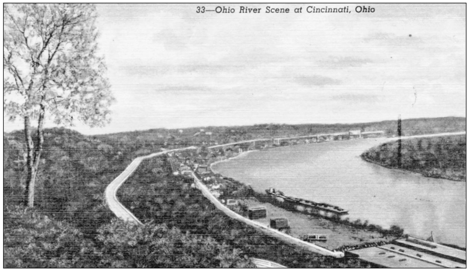
This postcard, published by J. Louis Motz News Company, identifies the Ohio River Scene at Cincinnati, Ohio as follows: The Ohio River is completely canalized and puts Cincinnati at the hub of a 15,000 mile system of inland waterways. This river is navigable the year round. The river is used both by passenger lines and freight carriers. This scene is one of Cincinnatis several bluff-side public parks, looking down upon Columbia Parkway and the East End. Opposite is Dayton, Kentucky.
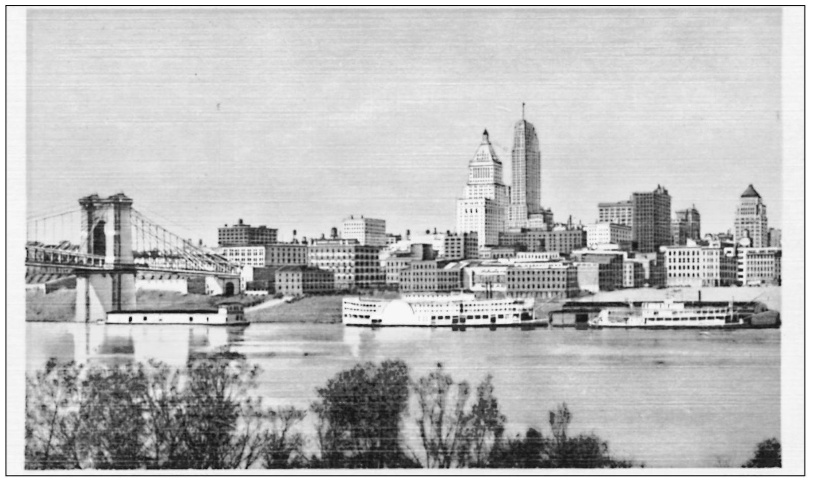
Another colorized Curteich-Chicago postcard shows the Cincinnati skyline and public landing from Covington, Kentucky. This scene encompasses two National Historic Landmarksthe Roebling Suspension Bridge and Carew Tower. The Carew Tower is an entire city block in area and includes a luxury hotel complex plus businesses. Crews working 24 hours a day, 7 days a week completed the tower in just 13 months. Construction began in September 1929, just one month before the great stock market crash.
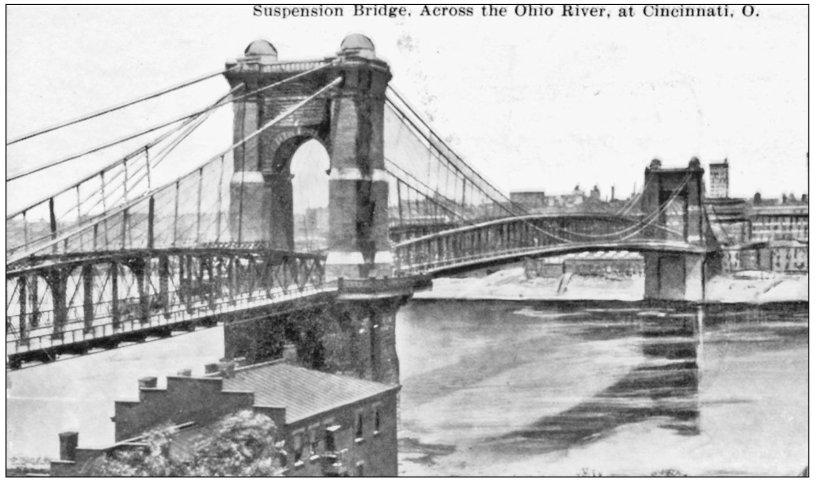
This postcard is an impressive image of the Roebling Bridge before skyscrapers appeared on the skyline. A typical question is How did they build the foundations for those bridge piers out in the middle of the river? The answer is given right here. When the bridge was built, the piers were actually built on dry land. They werent located out in the river channel until the current navigational system of locks and dams raised the normal pool level to what it is today.
This colorized photograph card, postmarked 1911, shows Mount Adams in the background and identifies it as Art Hill. Founded in 1880 by Marie Longworth Nichols, Rookwood Pottery was located atop Mount Adams, overlooking the city and the river. At one time, in its heyday during the early 20th century, Rookwood employed over 120 artists, potters, and designers. Their products were considered the best this country or any other country had to offer.
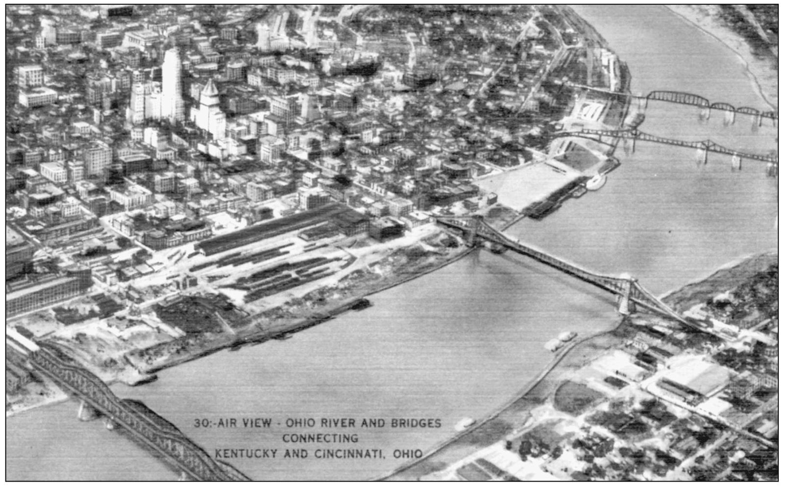
This is another hand-colorized photograph card by Kraemer Art Company. In plain sight, from left to right, are the C&O Railroad Bridge, the Roebling Suspension Bridge, the Central Bridge, and the L&N Railroad Bridge. Along the right border of the photograph is the mouth of the Licking River, directly across from the public landing. The Licking River is one of only two north-flowing rivers in the Ohio Valley.


