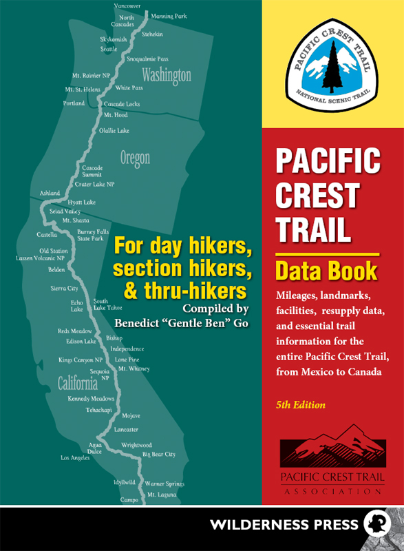
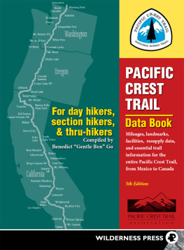
 The Journey of a Thousand Ri begins with the first step. Pacific Crest Trail Data Book 5th EDITION 2013 Copyright 1997, 2000, 2001, 2005, 2013 by Benedict Go and Wilderness Press ISBN 978-0-89997-745-4; eISBN 978-0-89997-746-1 Manufactured in the United States of America Published by: Wilderness Press
Keen Communications
PO Box 43673
Birmingham, AL 35243
(800) 443-7227; fax (205) 326-1012
info@wildernesspress.com
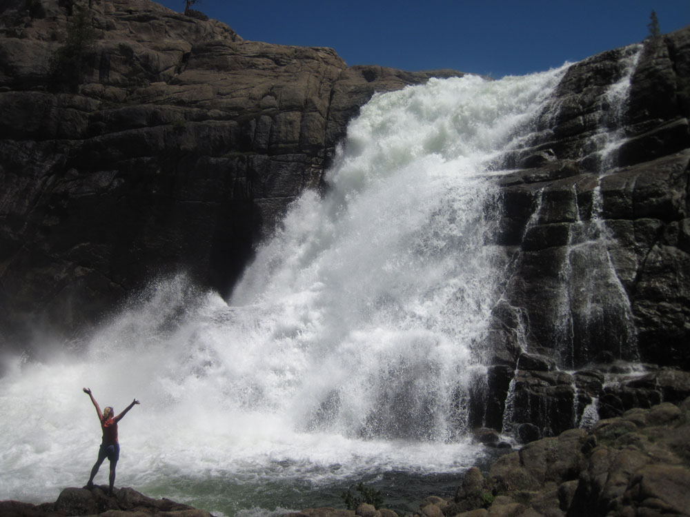
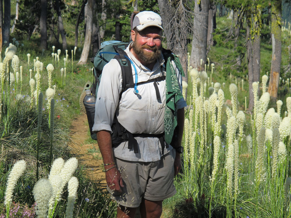
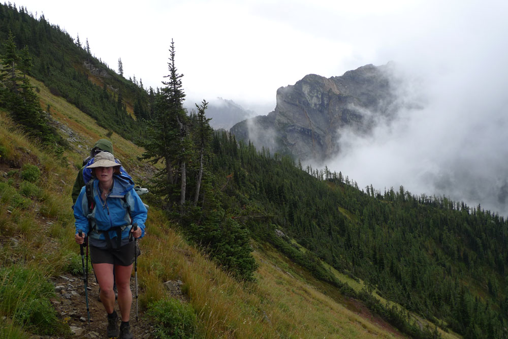
www.wildernesspress.com Regional section maps are used with permission of Andrew Alfred-Duggan. Thanks to the following photographers for contributing their lively images: Page vi: (top left and bottom right) Pacific Crest Trail Association/Heather Tilert, (top right) Pacific Crest Trail Association/Ron Kelley, (middle right) Audrey Alfred-Duggan, (bottom left) Pacific Crest Trail Association/Caitlin Barale, (middle left) Pacific Crest Trail Association/Deems Burton Page 129: (top left and top right) Paul Gerald, (bottom right) Pacific Crest Trail Association/Joe Walters, (bottom left) Pacific Crest Trail Association/Don Saviers, (middle left) Pacific Crest Trail Association/Caitlin Barale All rights reserved. No part of this book may be reproduced or transmitted in any form or by any means, electronic or mechanical, including photocopy, recording, or any information storage and retrieval system without the written permission of the author and publisher. NOTICE: The author and publisher caution users of the data contained herein that land and resource managers along the route of the PCT can, and often do, make changes to the trails routing, thereby changing or invalidating the information. Post Offices and resupply points may be closed for numerous reasons at any time, so verify mailing addresses before shipping supplies.
While every attempt has been made to verify this data as this book goes to print, contact the Pacific Crest Trail Association (PCTA) and local agencies for current conditions and recent changes. ACKNOWLEDGMENTS I would like to thank Wilderness Press and the authors of the PCT guidebooks, especially Jeff Schaffer, for permitting the use of the guidebooks as the basis for the creation of the Data Book. Thank you also to the PCTA for all they do for the trail, Ray Jardine for publishing his ideas on long-distance hiking, Cindy Ross for sharing her journal, Matt Maxon for re-measuring much of the Southern California section mileages, various trail users and maintainers who provided feedback on this book, and to Ada Leung for production assistance on this book. Send any changes or comments to Ben: thork_erin@yahoo.com. FROM THE AUTHOR: THE JOURNEY The future begins with a dream . And what a wonderful dream it was! I thru-hiked the Pacific Crest Trail in 1996; to this day, memories of that life continue to make me smile.
The sweet innocence of the unknown, the lessons still to be learned. How I yearn to feel those moments! I started on the PCT not fully knowing what to expect. It was the most challenging journey I had ever attempted. The long expanse of the desert, the refreshing High Sierra, and the beautiful Cascade Mountainsnature became my home. Every night, I slept in different places, sometimes on a hill, in a valley, or on top of a mountain. I found myself seeking and finding special places, and treasuring the times when I could feel deeply.
In nature, I saw more moments that in my mind could not be possible, and yet they happened. I remember the uncertainty, the not knowing of what would be. But, at the same time, as my knowledge increased and gave power, it also limited me. Knowledge created a boundary that at times became the border of my life. It was only by questioning what I knew and in doing difficult things that I could grow. Here I learned my four treasured lessons: Take care of those whom you love.
Take care of your health. Do not limit yourself to what you know. Try and learn. Share your life. We are not meant to be alone. I am glad that many continue to protect this most beautiful treasure.
To the future! Ben Gentle Ben Go, June 2013 A note about my trail name: When I started on the PCT, I met many Appalachian Trail thru-hikers, most of whom had trail names. For two months, I hiked across Southern California with the veteran AT hikers pondering what my trail name should be. We finally reached Kennedy Meadows and saw the movie Grizzly Adams. Next thing I knew, my trail name Gentle Ben came into being, bestowed by the one and only Rude Dog. CONTENTS past snow depths headings and codes used in the Resupply and Trail Data summary of places where packages can be sent and an index to quickly locate trail information by using the mileages as the link trail information from the Mexican Border to Kennedy Meadows trail information from Kennedy Meadows to Belden trail information from Belden to the California-Oregon border trail information from the California-Oregon border to the Oregon-Washington border trail information from the Oregon-Washington border to Manning Park in Canada New Suiattle River Bridge Map and Route map and new PCT route to the new Suiattle River Bridge relative to the old PCT route For 20142020, with each years Post Office holidays for jotting contact information for hikers you meet on the trail 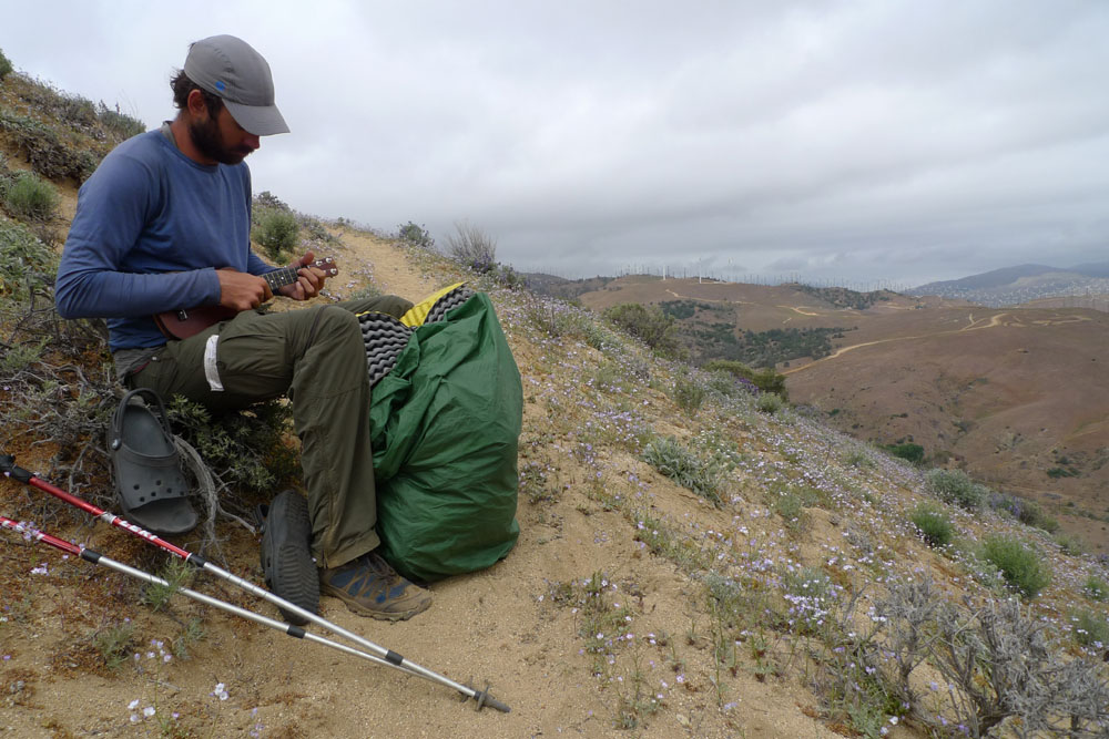
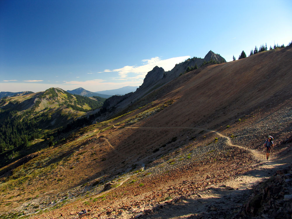
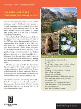
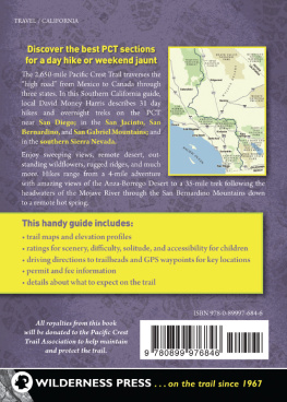
 Introduction The Pacific Crest Trail Data Book contains a summary of the entire Pacific Crest Trail (PCT), covering a distance of more than 2,660 miles from Mexico to Canada. The trail passes through three states: California, Oregon, and Washington.
The PCT terrain varies from desert in Southern California, to the mountains of the High Sierra in Central California, to the Cascades in far Northern California and continuing through Oregon and Washington. This book was created as an adjunct to Wilderness Presss PCT guidebooks for planning, tracking, and as a quick reference on the trail. Trail information is comprised of landmarks, listed as they occur in a northerly direction, from Mexico to Canada. For each landmark, the following information is given: the mileage between points; the mileage from the Mexican border; its elevation; available facilities (such as water sources and post offices); and an occasional water alert when the next water source is more than 12 miles away. This book provides:
- An easy calculation of distances between any two points on the trail.
- A profile of the trail elevation changes.
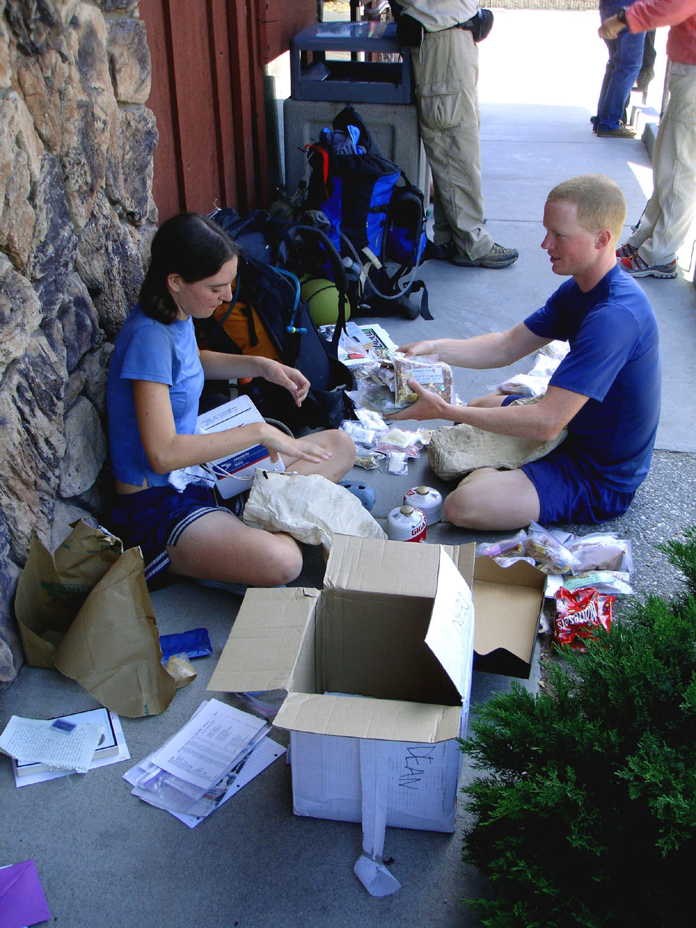
- Assistance in preparing for hiking sections of the trail or the entire trail
(a thru hike). - Assistance in establishing daily mileage goals while on the trail.
- The average angle of the trail in degrees between the previous landmark and the current landmark.
Next page
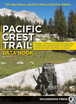



 The Journey of a Thousand Ri begins with the first step. Pacific Crest Trail Data Book 5th EDITION 2013 Copyright 1997, 2000, 2001, 2005, 2013 by Benedict Go and Wilderness Press ISBN 978-0-89997-745-4; eISBN 978-0-89997-746-1 Manufactured in the United States of America Published by: Wilderness Press


 Introduction The Pacific Crest Trail Data Book contains a summary of the entire Pacific Crest Trail (PCT), covering a distance of more than 2,660 miles from Mexico to Canada. The trail passes through three states: California, Oregon, and Washington.