ACKNOWLEDGMENTS
Stereoscopic Publishers
L.F. Adams, New Bedford, New Hampshire; G.H.Aldrich & Co., Littleton, New Hampshire; American Views, Boston; H.T. Anthony & Co., New York; Clinton H. Atkinson, Penacook, New Hampshire; Bierstadt Bros., New Bedford, Massachusetts; H.P. Bly, Hanover, New Hampshire; Clough & Kimball, Concord, New Hampshire; L. Dowe, Sycamore, Illinois; H.S. Fifield, New Hampton, New Hampshire; J.H. French, Keene, New Hampshire; W.B. Gleason & Son, Whitefield, New Hampshire; C.P. Hibbard, Lisbon, New Hampshire; Kilburn Bros., Littleton, New Hampshire; Little View Co., Littleton, New Hampshire; N.W. Pease, North Conway, New Hampshire; W.M. Pressey, Plymouth, New Hampshire; Frank Rowell, Boston; John P. Soule, Boston; the Treadwell Collection, Joseph Ward, Boston; F. White & Co., Laconia and Lancaster, New Hampshire; and F.J. Young, Campton, New Hampshire.
Special Credits
The Appalachian Mountain Club, John D. Bardwell, F. Allen Bart, Randall H. Bennett, Ronald P. Bergeron, Gladys S. Bickford, Ernest E. Bisbee, the Boston & Maine Railroad, Chisholms White Mount Guide , David Dickinson, White Mount Echoes , Benjamin W. English Jr., Francis Ann Johnson Hancock, Robert and Mary Julyan, Richard F. Leavitt, Alexander A. McKenzie, John T.B. Mudge, the Plymouth Historical Society, Edwin B. Robertson, Arthur W. Vose, the Mount Washington Cog Railway Co., and Benjamin G. Willey.
Find more books like this at
www.imagesofamerica.com
Search for your hometown history, your old
stomping grounds, and even your favorite sports team.
One
MOUNT WASHINGTON: 18601890 VIA THE COG RAILWAY
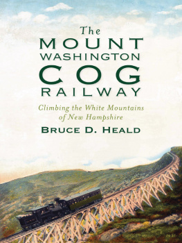
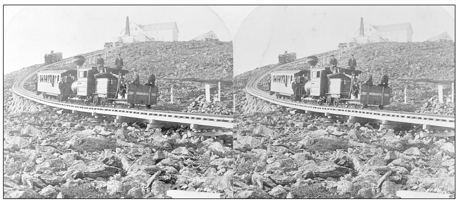
THE SUMMIT OF MOUNT WASHINGTON AND THE COG RAILWAY, C. 1870S. The majestic cone of Mount Washington, crowning the glories of the White Mountain Presidential Range, is the loftiest peak east of the Rocky Mountains and north of the Carolinas, rising to a height of 6,288 feet above sea level. It is written that the climate is the same as Labrador and middle Greenland. The view from the summit sweeps around a circle of nearly 1,000 miles, embracing parts of five states and the province of Quebec. The bold outlines, sides of the crest, and cone of the mountain are broken by narrow ravines that are caught in the dimple of the face of the mountain, in which crystal cascades flow. A railroad, the first of its kind in the world, makes easy access to the summit. On this summit, a house and a restaurant offer all the conveniences for visitors.
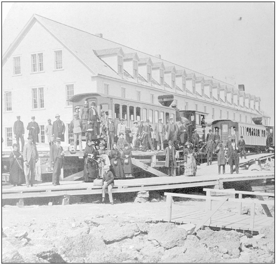
THE SUMMIT OF MOUNT WASHINGTON, C. 1870S. Gathered around the Cog Railway trains are summer visitors ready to enjoy an afternoon atop the highest point in the Presidential Range. Nostalgic memories bloom as we reminisce about those days past, when the old Summit House stood majestically on the highest point in New England, Mount Washington. A poet once wrote that it is the journey, not the arrival, that matters; he might well have been writing about New Hampshires White Mountains.
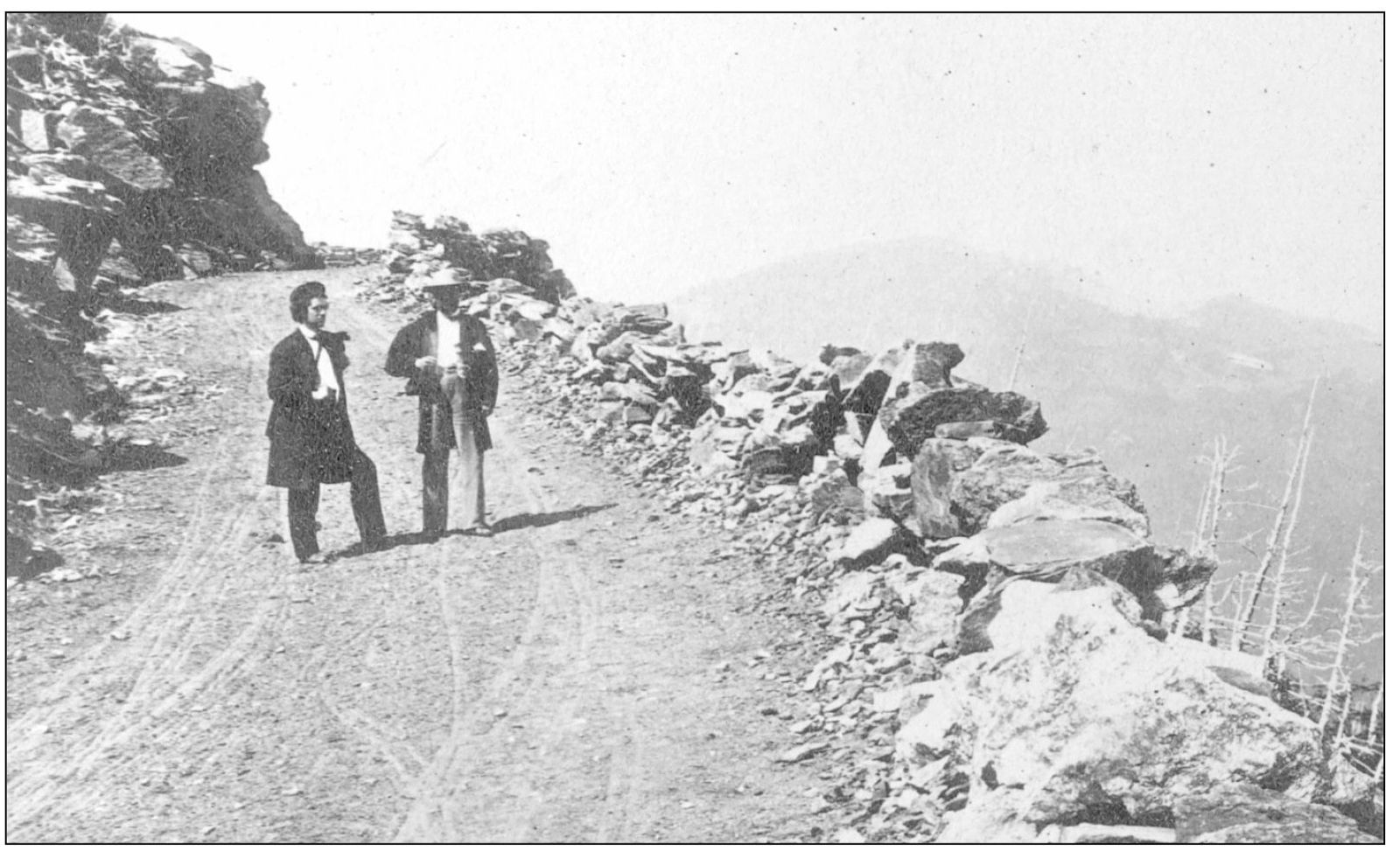
THE CARRIAGE ROAD, c. 1870S. This road first opened for business on August 8, 1861. Over the first few miles, the road climbs through scenic woods. The gradual ascent provides an excellent conception of the immensity of the mountain and the constantly varied views at turns of the road. The plan to build this road of 8 miles originated with Gen. David O. Macomber, who in 1853 secured a charter for the Mount Washington Turnpike for the Mount Washington Road Company. In the same year, the company was formally organized at the old Alpine House in Gorham, and the general was elected president. Following a survey, construction began in 1855. Two miles of the road was built in the first year.
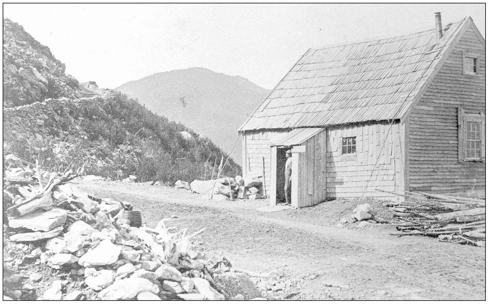
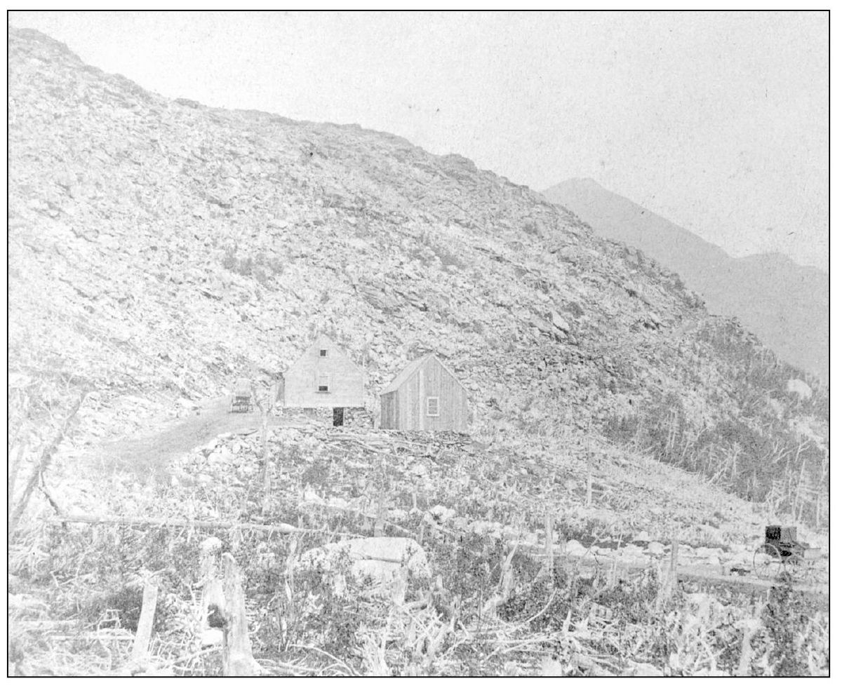
THE HALFWAY HOUSE ON THE CARRIAGE ROAD. The halfway point (4 miles, 3,840 feet above sea level) is almost exactly at the timberline. From there, the views are spectacular. The 4-mile section of the road to the Ledge above the Halfway House was completed by 1857. Three years later, the road was completed to the summit and was ready for use, operating under the franchise as a turnpike. The credit of the remarkable surveying and engineering achievement belongs to two menJoseph S. Hall and John P. Rich, contractor and superintendent. A commemorative tablet at Glen records the name and work of John Rich. It is interesting to note that when the road was first opened, users were charged by the mile. If a person was on foot, he was charged 2 per mile. A horse and rider cost 3 per mile, while a horse and carriage paid 5 per mile.
THE HALFWAY HOUSE. At the Halfway House, hardly more than shrubs have been left. The subalpine bucks horns, the ghostly white trees, are visible as the road continues it ascent up the mountain.
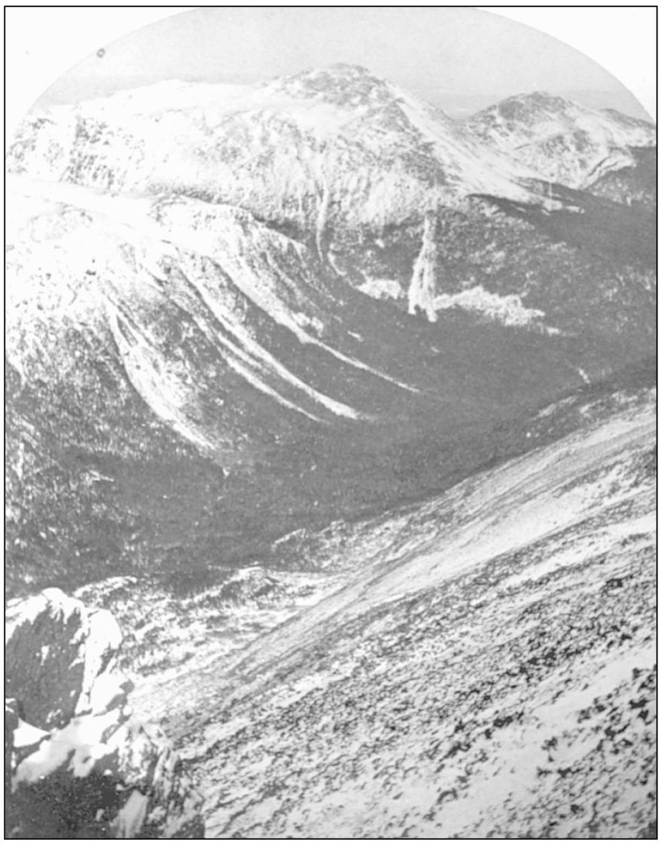
THE GULF OF MEXICO FROM MOUNT WASHINGTON, C. 1880s. Today, this area is known as the Great Gulf Wilderness. From the Carriage Road, there is an awe-inspiring view into the depths of the Great Gulf, 2 miles in length, 1 mile wide, and 1,500 feet deep of a glacial cirque.
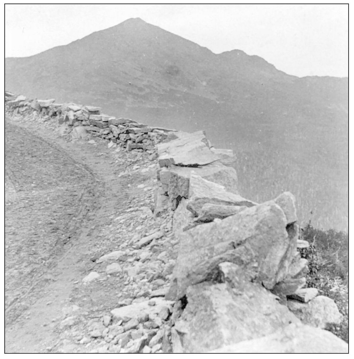
THE LEDGE ON THE MOUNT WASHINGTON CARRIAGE ROAD, LOOKING UP THE MOUNTAIN, C. 1880s. Doubling and redoubling on itself, the road reaches the the rocky eminence known as Ledge, where there is an awe-inspiring view into the depths of the Great Gulf.
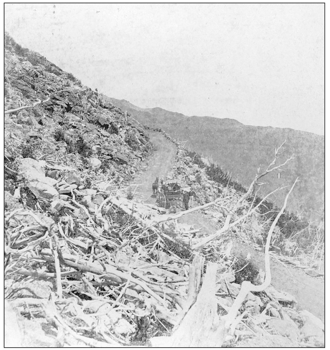
THE MOUNT WASHINGTON CARRIAGE ROAD BELOW THE LEDGE, C . 1880s. For hundreds of years, Mount Washington (named in 1784) has been the goal of adventurous visitors from every state. With the building of the Carriage Road in 1861, ascent has become effortless, and traffic is now continuous in fair weather.
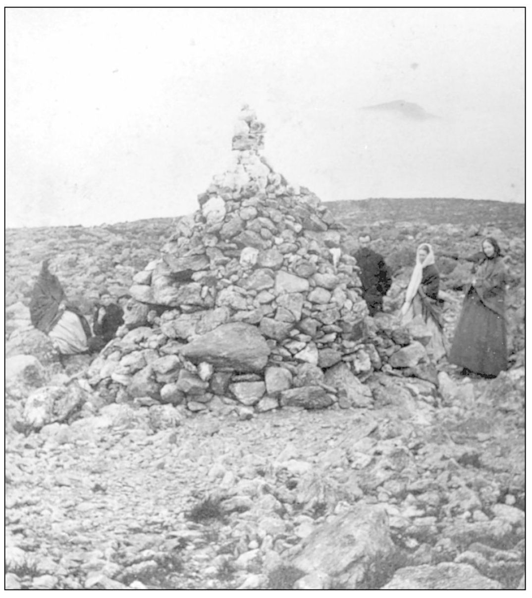
THE LIZZIE BOURNE MONUMENT ON MOUNT WASHINGTON. This cairn is one of the many that mark the trails along the Appalachian Mountain Range from Georgia to Maine for the thousands of hikers who make the venture.

