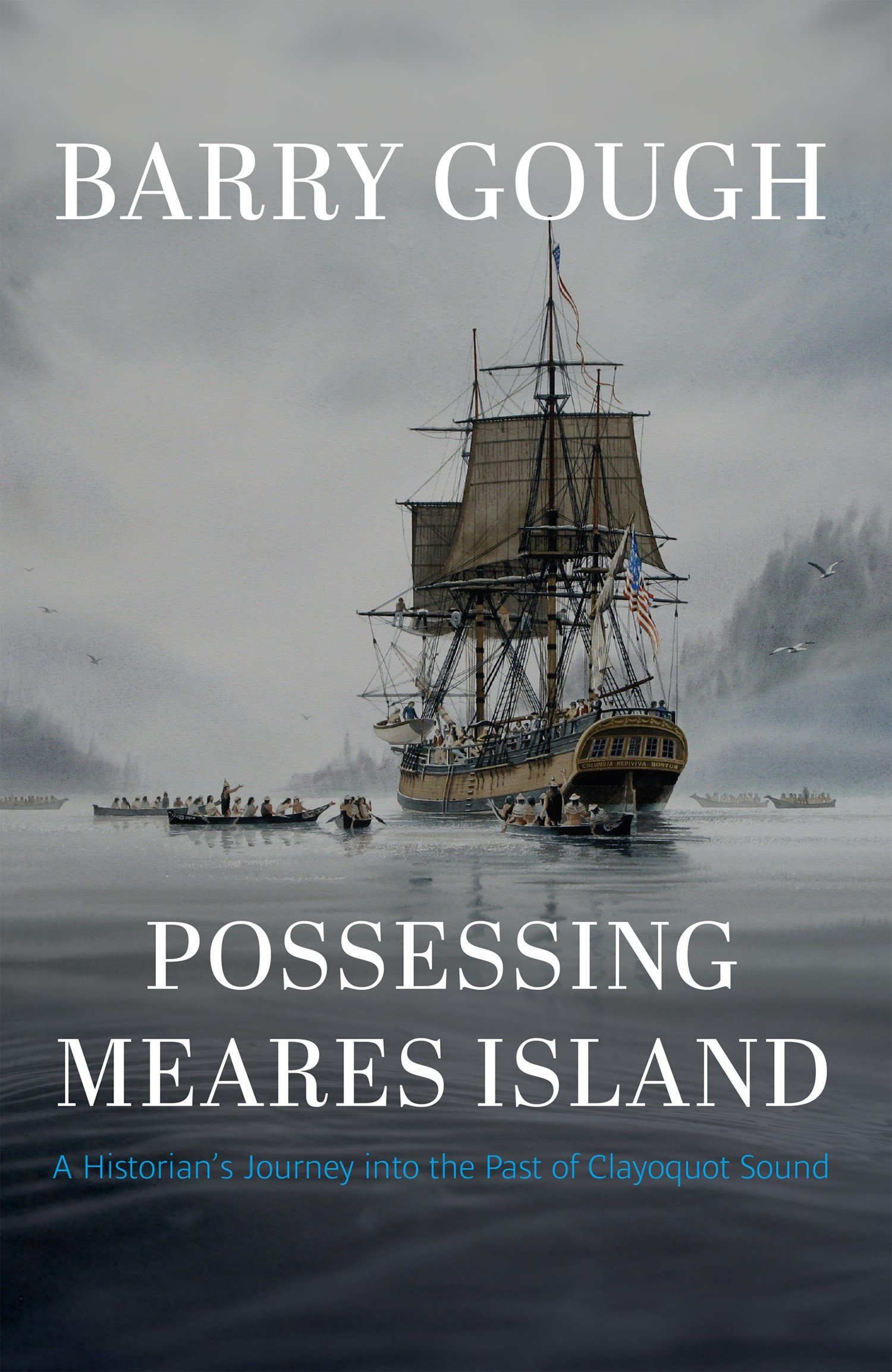
Possessing Meares Island
Also by Barry Gough
The Royal Navy and the Northwest Coast
Gunboat Frontier
First Across the Continent: Sir Alexander Mackenzie
Fortunes a River
Juan de Fucas Strait
The Elusive Mr. Pond
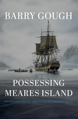
Possessing Meares Island
A Historians Journey into the Past of Clayoquot Sound
Barry Gough

Copyright 2021 Barry Gough
1 2 3 4 5 25 24 23 22 21
All rights reserved. No part of this publication may be reproduced, stored in a retrieval system or transmitted, in any form or by any means, without prior permission of the publisher or, in the case of photocopying or other reprographic copying, a licence from Access Copyright, .
Harbour Publishing Co. Ltd.
P.O. Box 219, Madeira Park, BC, V0N 2H0
www.harbourpublishing.com
Edited and indexed by Audrey McClellan
Text design and maps by Terra Firma Digital Arts
Printed on 100% recycled paper certified by the Forest Stewardship Council
Endsheet: A Chart of the Interior Part of North America Demonstrating the very good probability of an Inland Navigation from Hudsons Bay to the West Coast, from John Meares book, Voyages to the North-West Coast of America (1790) | From the collection of Gary Little
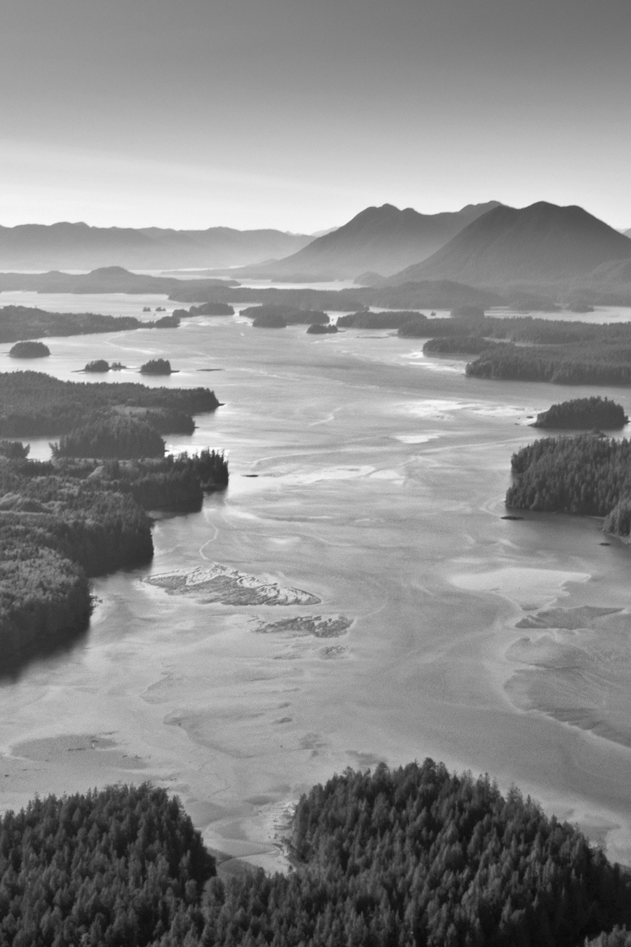
Page vi : Clayoquot Sound aerial | Wilderness Committee Archive
Printed and bound in Canada


Harbour Publishing acknowledges the support of the Canada Council for the Arts, the Government of Canada, and the Province of British Columbia through the BC Arts Council.
Library and Archives Canada Cataloguing in Publication
Title: Possessing Meares Island : a historian's journey into the past of Clayoquot Sound / Barry Gough.
Names: Gough, Barry M., author.
Description: Includes index.
Identifiers: Canadiana (print) 20210289899 | Canadiana (ebook) 2021028997X | ISBN 9781550179576 (hardcover) | ISBN 9781550179583 (EPUB)
Subjects: LCSH: Meares Island (B.C.)History. | LCSH: Clayoquot Sound (B.C.)History. | LCSH: Indigenous peoplesBritish ColumbiaMeares IslandHistory. | LCSH: Indigenous peoplesLand tenureBritish ColumbiaMeares IslandHistory. | LCSH: Environmental protectionBritish ColumbiaMeares IslandHistory.
Classification: LCC FC3845.M42 G68 2021 | DDC 971.1/2dc23
We see our territory as a massive feast dish with the mountains as its rim; the dishes that we use in our feasts are, in turn, symbols of the territory and its resources.
Ki-ke-in, Hupacasath artist
The people of the west coast of Vancouver Island used to be called Nootka by Europeans. We know ourselves as Nuu-chah-nulth, which can be translated as along the mountains and refers to our traditional territories.
Nuu-Chah-Nulth Tribal Council
Contents
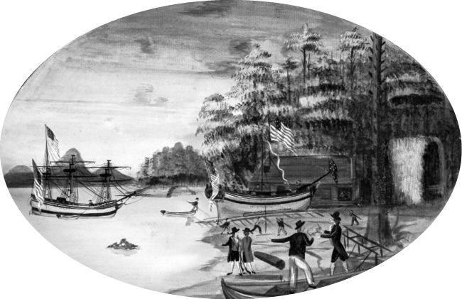
Winter quarters at Fort Defiance, Adventure Cove, Lemmens Inlet, Meares Island. In this sprightly watercolour by George Davidson, illustrator on Captain Grays voyage in the famed Boston ship Columbia Rediviva, the artist portrays himself showing off this very illustration. On the left, the Columbia is shown in Adventure Cove. On the stocks below Fort Defiance and the Stars and Stripes is the sloop Adventure, being built as a coaster for the sea otter business. The location of Fort Defiance was found after diligent searches by American and local historians. In 1966, Ken Gibson of Tofino established the exact site.
Oregon Historical Society Research Library
Notes on Names and Terms
Magical, and symbolically laden with history, its forests still standing, its mountains and rugged coasts facing across the waters to todays Tofino, British Columbia, Canada, Meares Island lies within the southern part of Vancouver Islands Clayoquot Sound. The Sound itself is a labyrinth of inlets, islands and passages. This is the Nuu-chah-nulth nations territory of traditional lands and waters.
The names of the leading Nuu-chah-nulth chiefs of the late 1700s and early 1800s appear as Wickaninnish, Maquinna and Sitakanim, though they are variously spelled in documents and published narratives of the time, and I have not sought to change the original spellings given by my documentary sources. Wickaninnish is invariably named in the records as a chief; however, the Nuu-chah-nulth word for his rank, possessions and station is Hawiih.
For such technical matters as the elevation of Lone Cone and Mount Colnett and the longitude and latitude of Opitsat, I have used modern scientific data, though I am conscious that historical records disclose earlier observation coordinates, and that magnetic variations have changed over time. By and large, in the late eighteenth and nineteenth century, British nautical measurement of longitude was based on distances west of Greenwich, England.
Great Britain did not acquire sovereignty of the area we now call British Columbia through conquest or by doctrine of discovery. Rather, its claimed sovereignty was recognized in 1846 by treaty with the United States (the Oregon Treaty). When the Colony of British Columbia joined Canada by Act of Union in 1871, the direction of Indian Affairs passed to the Dominion (later Government) of Canada. Thus, Indian reserves and bands became (and are to this day) regulated by that government, headquartered in Ottawa. The term band is used here in the context of the Indian Act of Canada. No formal system exists in law for the authorized naming of bands.
The word Nu-tka-, or more commonly Nootka, has now been supplanted by the terms Nuuaanu , Nuu-chah-nulth or, occasionally, the west coast peoples. The language spoken is now referred to as Nuu-chah-nulth. This language is part of the Wakashan language grouping. Representing constituent components is the Nuu-Chah-Nulth Tribal Council ( NTC ). The term Nuu-chah-nulth, meaning loosely all along the mountains and sea, was formally adopted by the NTC in 1980.
I have generally used the common spelling Clayoquot; that being said, the readers forbearance is requested, for all variant spellings appear in quoted passages. To complicate matters, the Indigenous people formerly called Clayoquot changed their name to Tla-o-qui-aht First Nation effective November 21, 1988. The readers attention is therefore specifically drawn to the following: in this book Clayoquot usually means the location (though sometimes, particularly when referring to events in the eighteenth and nineteenth centuries, can mean the peoples or band); Tla-o-qui-aht means the Clayoquot First Nation. Wherever possible I have followed the Canadian convention of using the single form of a First Nation rather than the plural form (thus, Ahousaht rather than Ahousahts). Note that all sorts of variant spellings of names and places exist in the historical documentation, and I have not standardized these when I am quoting from the source documents.

