LANDFORMS
GEOLOGY: LANDFORMS, MINERALS, AND ROCKS

LANDFORMS
EDITED BY JOHN P. RAFFERTY, ASSOCIATE EDITOR, EARTH AND LIFE SCIENCES

Published in 2012 by Britannica Educational Publishing
(a trademark of Encyclopdia Britannica, Inc.)
in association with Rosen Educational Services, LLC
29 East 21st Street, New York, NY 10010.
Copyright 2012 Encyclopdia Britannica, Inc. Britannica, Encyclopdia Britannica, and the Thistle logo are registered trademarks of Encyclopdia Britannica, Inc. All rights reserved.
Rosen Educational Services materials copyright 2012 Rosen Educational Services, LLC.
All rights reserved.
Distributed exclusively by Rosen Educational Services.
For a listing of additional Britannica Educational Publishing titles, call toll free (800) 237-9932.
First Edition
Britannica Educational Publishing
Michael I. Levy: Executive Editor
J.E. Luebering: Senior Manager
Marilyn L. Barton: Senior Coordinator, Production Control
Steven Bosco: Director, Editorial Technologies
Lisa S. Braucher: Senior Producer and Data Editor
Yvette Charboneau: Senior Copy Editor
Kathy Nakamura: Manager, Media Acquisition
John P. Rafferty: Associate Editor, Earth and Life Sciences
Rosen Educational Services
Alexandra Hanson-Harding: Rosen Editor
Nelson S: Art Director
Cindy Reiman: Photography Manager
Matthew Cauli: Designer, Cover Design
Introduction by Monique Vescia
Library of Congress Cataloging-in-Publication Data
Landforms / edited by John P. Rafferty. 1st ed.
p. cm. (Geology: landforms, minerals, and rocks)
Includes bibliographical references and index.
ISBN 978-1-61530-536-0 (eBook)
1. Geomorphology. 2. Landforms. I. Rafferty, John P., editor.
GB401.5.L36 2012
551.41dc22
2010044327
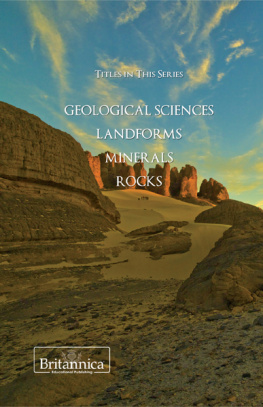
On the cover (front and back): Desert in the Algerian Sahara. Shutterstock.comOn the cover (front top), p. iii (from left): Wadi Rum Desert in southern Jordan; a boat in calm waters among mountains in China; the Everest and Lhotse mountain peaks as viewed from Nepal; a geological formation called the submarine, in Ischigualasto Natural Park, San Juan, Arg., which is a UNESCO World Heritage Site. Shutterstock.com
On pages : The Zagros Mountains rise above pasturelands, southwestern Iran. Fred J. Maroon/Photo Researchers
CONTENTS
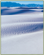
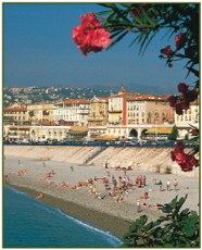

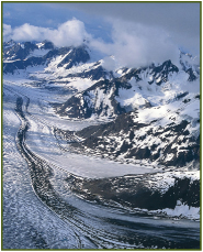
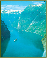
INTRODUCTION
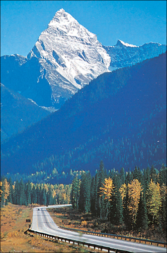
Mount Sir Donald in the Selkirk Mountains, British Columbia, and a segment of Trans-Canada Highway. Bob and Ira Spring/EB Inc.
W hen Ira Gershwin wrote his famous lyricsIn time the Rockies may crumble, Gibraltar may tumble,for the classic song Our Love is Here to Stay, he was talking about love, but he was thinking like a geomorphologist. Taken from the Greek geo for earth and morph for form, geomorphology is the study of landforms and the processes that affect them. A geomorphologist is, therefore, a scientist who studies landforms and the various natural processes that shape these physical features of a planets surface. Mountain ranges, valleys, plateaus, caves, beaches, sea cliffs, fjords, and other landforms are distinctive features that give Earth its unique topography and supply the subject matter of this earth science.
When geomorphologists look at a landscape, they can envision it through a type of internal time-lapse photography. Through this exercise, mountains thrust up, only to settle down into heaps of debris; sea arches carved by ocean waves fall; and entire continents slide under the crust of another. Despite the appearance of permanence, everything on Earth is in the process of changing, and todays familiar landforms simply rest in just one particular phase of their continuing evolution.
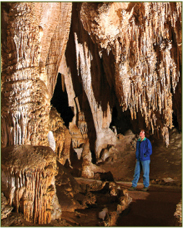
In this volume, the study of landforms involves an adjustment to ones sense of time. Every landform, like every human being, has a life span. However, all of human existence represents only a tiny blip in comparison to the mind-bending span of geologic time. Geological processes, such as the creation of mountain ranges or the sculpting of river valleys, take many millennia to unfold. Some landforms, such as the stalagmites that form in the cool depths of a cave, grow by tiny increments, built up by the slow drip of minerals over hundreds of thousands of years. Other events occur far more quickly, driven by volcanic activity or the sudden collision of meteorites and comets that crater the planets surface.
The study of landforms necessarily involves an understanding of the various processes that continue to mould Earth, the ocean floor, and other celestial bodies in the solar system. Most terrestrial landforms are shaped by a combination of tectonic forcesprocesses of volcanism, and crustal shortening, along with heating and thermal expansionand what geologists call denudational processes, which are controlled by climate. Gravity also plays a part in the evolution of geological features. The shifting and collision of massive plates of rock that float on Earths lithosphere and the movement of molten rock from volcanic activity create tectonic landforms such as mountains, plateaus, and rift valleys. Structural landforms, including sand dunes, subterranean caves, and fjords, are primarily the result of denudational processes. Over long spans of time, the movement of glaciers and the actions of wind and water wear away and carve out spaces in rock, sculpting various features on the planets surface.
Human beings and other animals have a hand in the creation of landforms, as well. Human-engineered structures, such as the colossal Three Gorges Dam in China, and other biogenic landforms, such as dams made by beavers, have radically altered Earths topography by flooding existing valleys and establishing new bodies of water. Creatures as tiny as termites can also construct landforms when they work together to build enormous termite moundssome over 12 meters (forty feet tall)such as those found in Africa and Australia.
Next page
