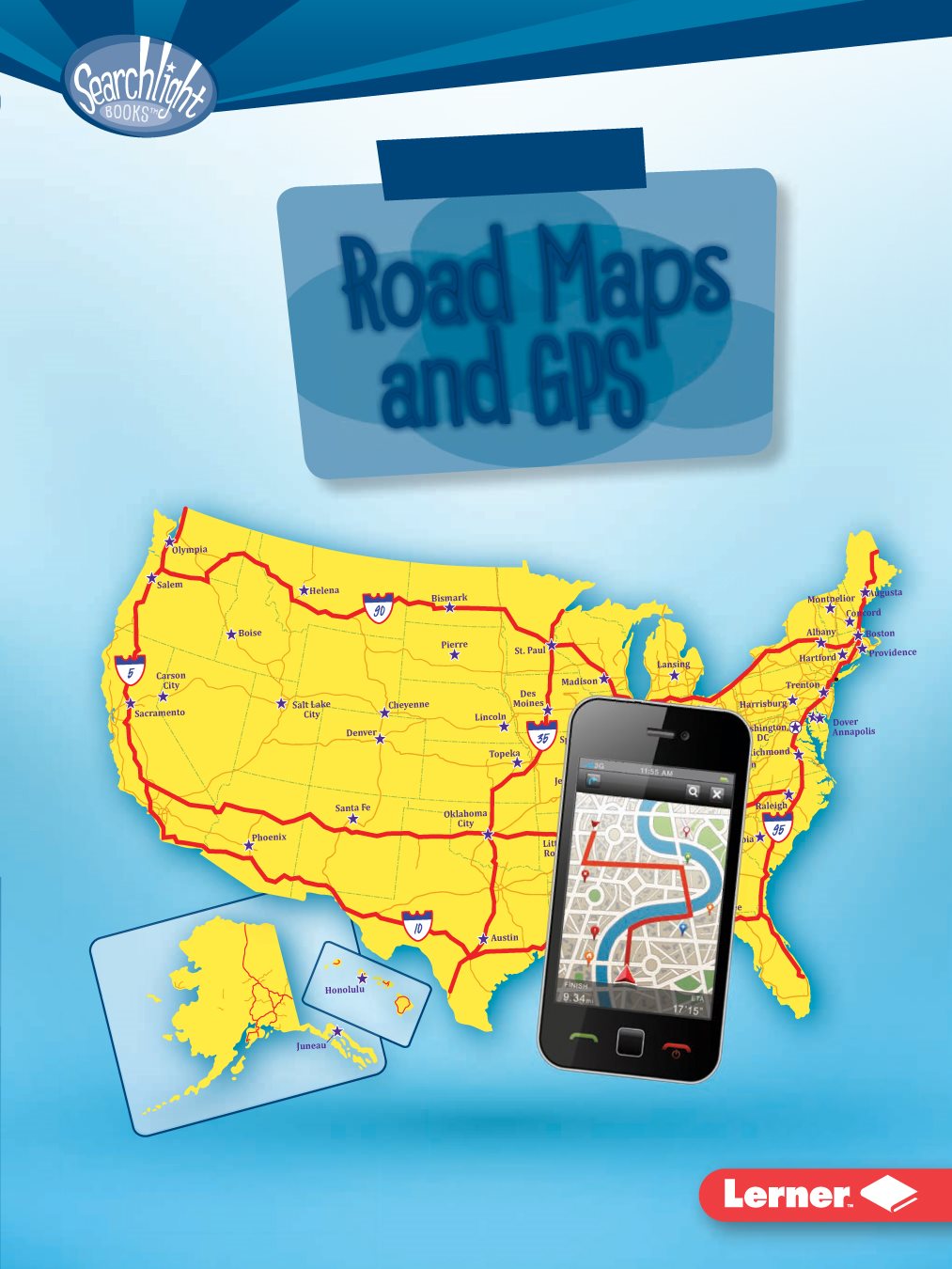
Tracy Nelson Maurer - Using Road Maps and GPS
Here you can read online Tracy Nelson Maurer - Using Road Maps and GPS full text of the book (entire story) in english for free. Download pdf and epub, get meaning, cover and reviews about this ebook. year: 2017, publisher: Lerner Publishing Group, genre: Art. Description of the work, (preface) as well as reviews are available. Best literature library LitArk.com created for fans of good reading and offers a wide selection of genres:
Romance novel
Science fiction
Adventure
Detective
Science
History
Home and family
Prose
Art
Politics
Computer
Non-fiction
Religion
Business
Children
Humor
Choose a favorite category and find really read worthwhile books. Enjoy immersion in the world of imagination, feel the emotions of the characters or learn something new for yourself, make an fascinating discovery.
- Book:Using Road Maps and GPS
- Author:
- Publisher:Lerner Publishing Group
- Genre:
- Year:2017
- Rating:4 / 5
- Favourites:Add to favourites
- Your mark:
Using Road Maps and GPS: summary, description and annotation
We offer to read an annotation, description, summary or preface (depends on what the author of the book "Using Road Maps and GPS" wrote himself). If you haven't found the necessary information about the book — write in the comments, we will try to find it.
Tracy Nelson Maurer: author's other books
Who wrote Using Road Maps and GPS? Find out the surname, the name of the author of the book and a list of all author's works by series.


Using Road Maps and GPS — read online for free the complete book (whole text) full work
Below is the text of the book, divided by pages. System saving the place of the last page read, allows you to conveniently read the book "Using Road Maps and GPS" online for free, without having to search again every time where you left off. Put a bookmark, and you can go to the page where you finished reading at any time.
Font size:
Interval:
Bookmark:

the best way there
reproduced, stored in a retrieval system, or transmitted in any form or by any means
electronic, mechanical, photocopying, recording, or otherwisewithout the prior written
permission of Lerner Publishing Group, Inc., except for the inclusion of brief quotations in
an acknowledged review.
A division of Lerner Publishing Group, Inc.
241 First Avenue North
Minneapolis, MN 55401 USA
at www.lernerbooks.com.
1-39541-21245-2/25/2016

ROAD MAPS AND
GPS? ... page
ROAD MAP? ... page
AND GPS? ... page
AND GPS WHIZ? ... page
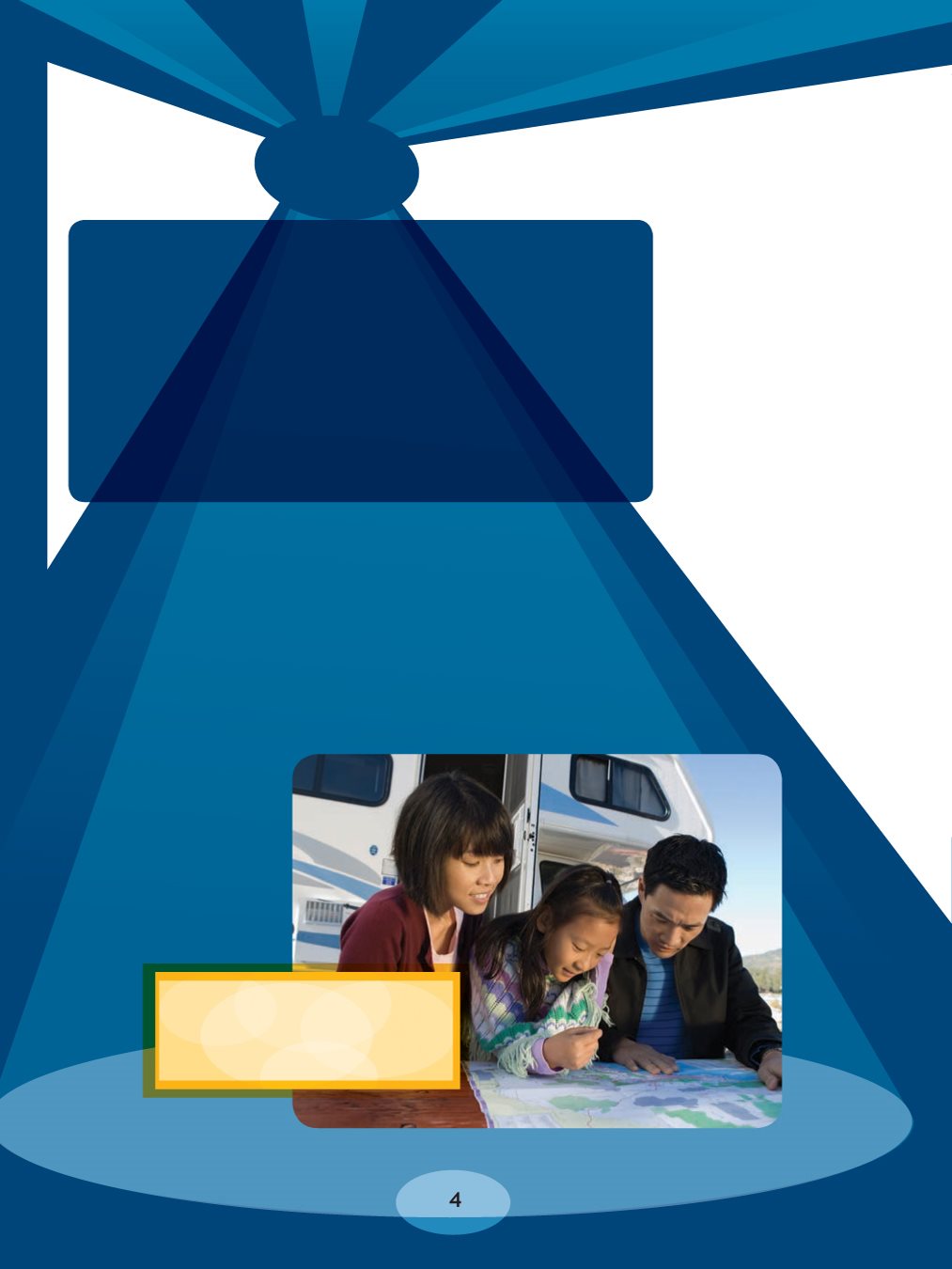
MAPS AND GPS?
while on a road trip.
How can maps help us?
mapmakers, design
maps for certain
purposes. Some
maps mark borders
of cities or countries.
Others display facts
about a place, such
as how many people
live there. Still others
focus on roads and
highways (the main
roads in an area).
These are called road
maps. They help
people find their way
from one location
to another.
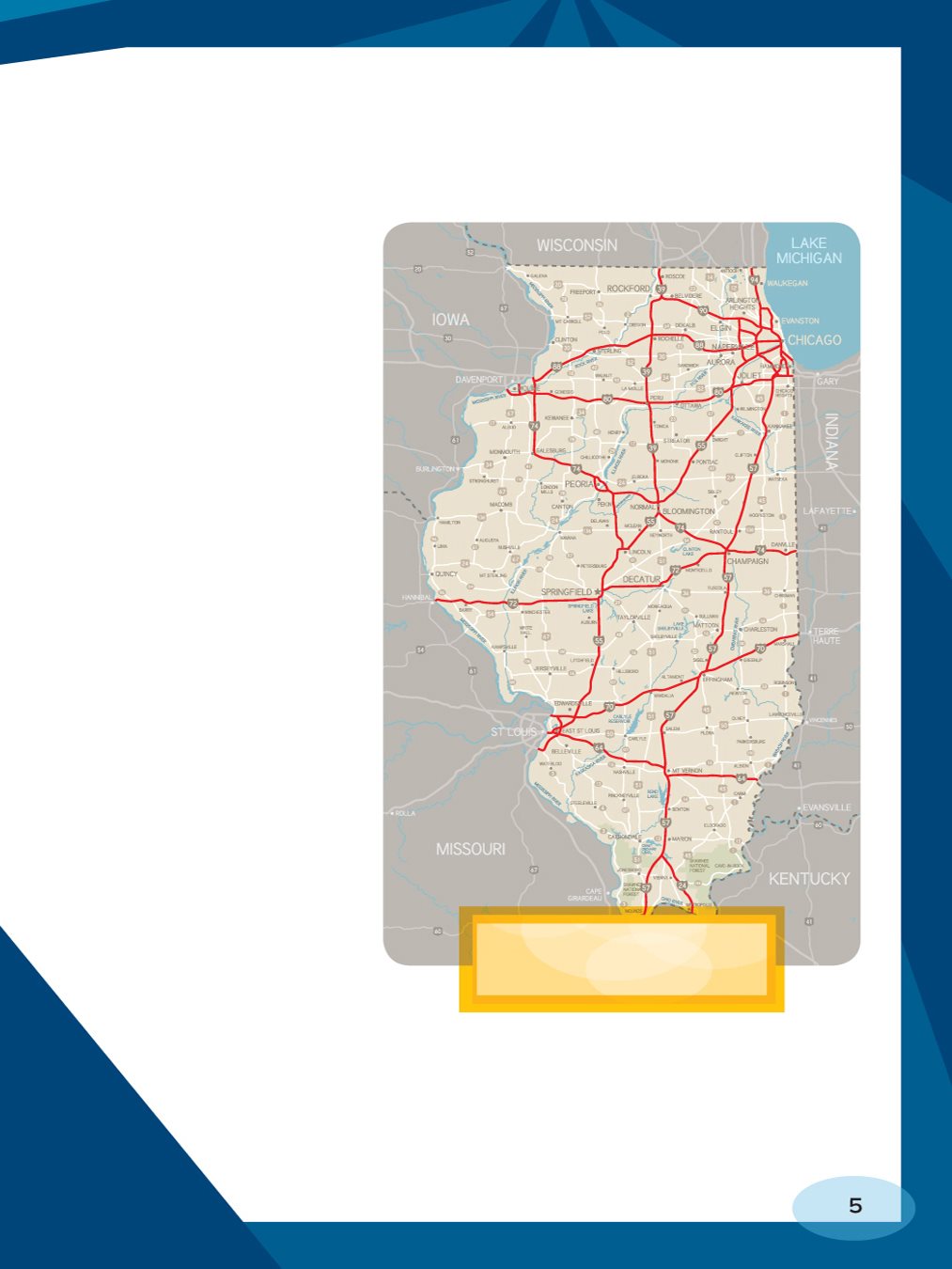
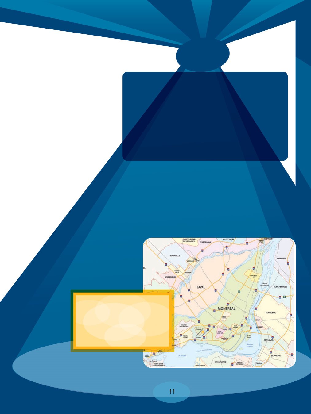
major roads in Illinois.
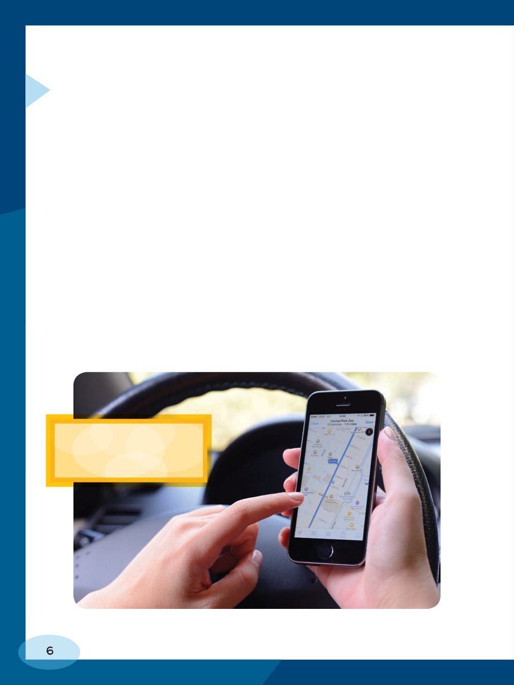
maps were large and had to be folded for storage when
not in use. These days, many road maps are on cell
phones and other devices. These maps can change as
roads change. For example, if a road were closed for
construction, the map might update itself to show that.
These maps can also pinpoint where you are by using
sensors in the device. Maps like this are part of the
Global Positioning System, or GPS. GPS is a system that
uses signals from satellites to tell you where you are and
to give you directions to other places.
mapped routes that
smartphones plot out.
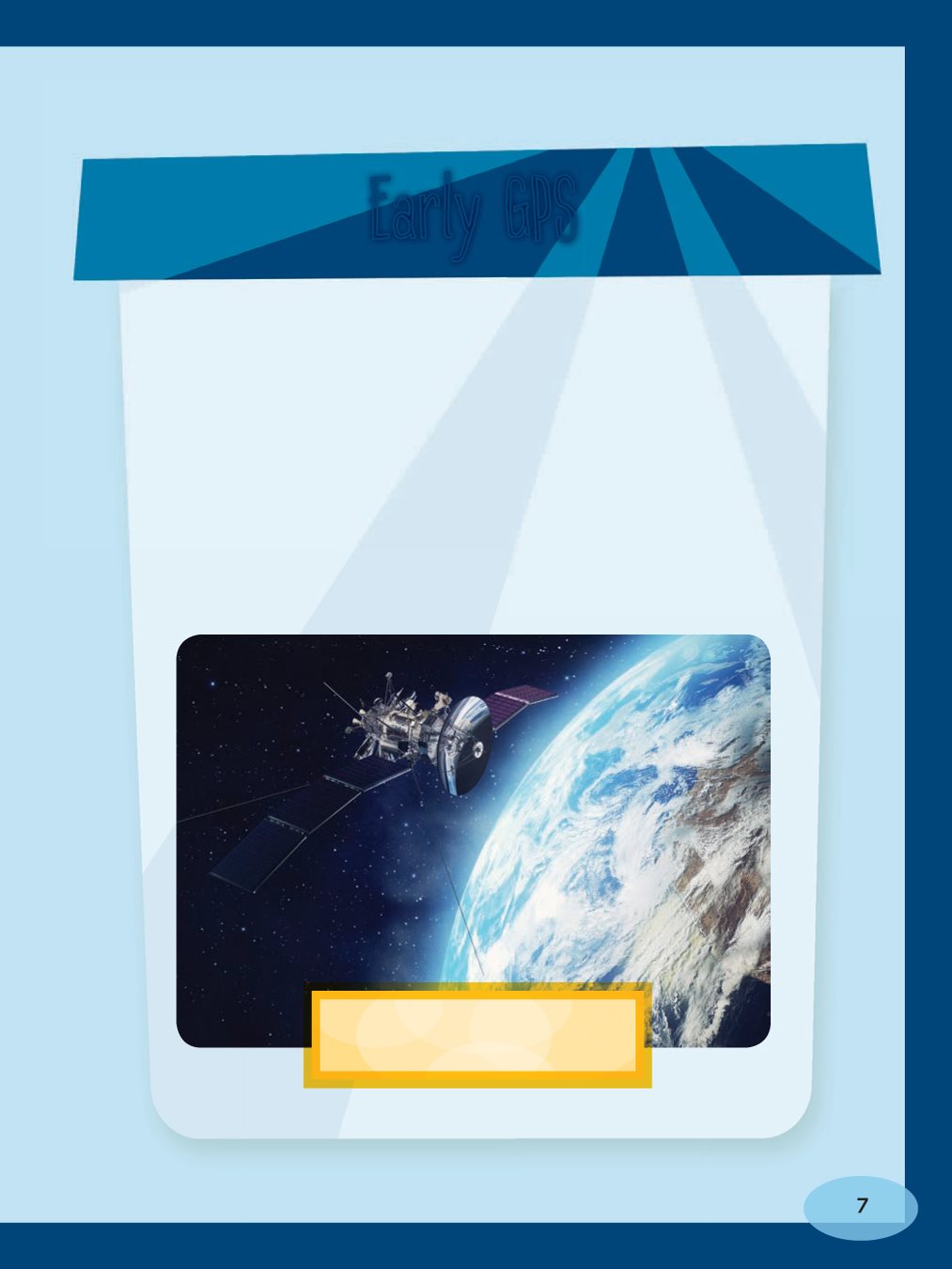
send into space to circle Earth, other planets,
and the moon. They can send signals to devices
such as cell phones. Satellites are a fairly old
technology. The first GPS satellite launched in
1978 for the military. President Ronald Reagan
made GPS free to the public in 1983. Russia,
India, China, and other countries hope to launch
similar systems.
what a satellite looks like.
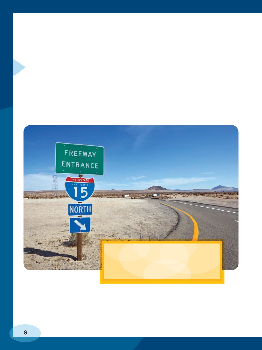
drivers prefer winding, scenic routes that pass through
pretty or interesting landscapes. Others want the
fastest route from one location to the other.
fast travel. Drivers might look for
routes that include freeways if they
want to get somewhere quickly.
interest on a road map, such as campgrounds, national
parks, racetracks, museums, or schools. You might
discover a historic site or a wildlife viewing area.
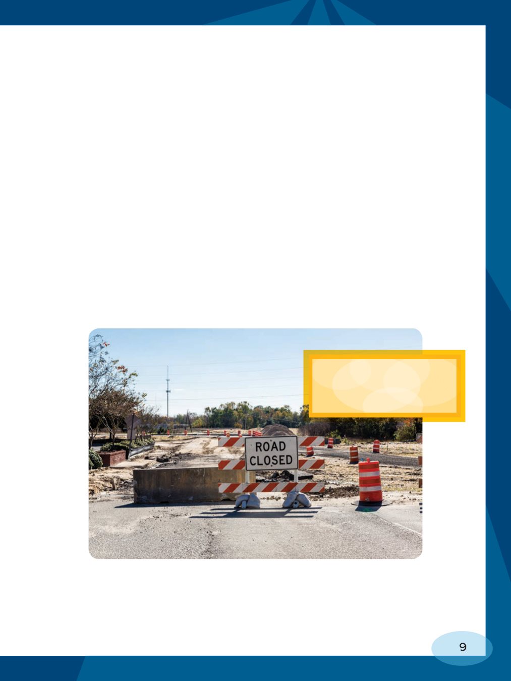
they need to. Construction zones, car accidents, or other
hazards may require changing routes along the way. Road
maps come in very handy when your route changes at
the last minute! Road maps help travelers in many ways.
drivers about every
detour ahead of time!
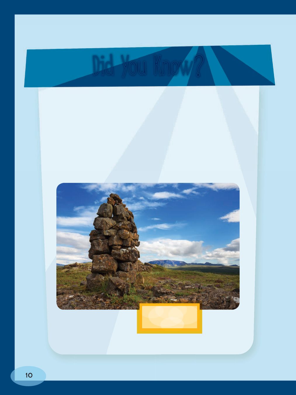
had methods for finding their way around. Many
early people used piled stones called cairns as a kind
of primitive map. Cairns acted as landmarks. They
marked spots where certain natural features could
be found. They also showed the way to food and
other important resources.
are in Iceland.
ROAD MAP?
important parts of a
road maps language.
What else does this
language include?

Font size:
Interval:
Bookmark:
Similar books «Using Road Maps and GPS»
Look at similar books to Using Road Maps and GPS. We have selected literature similar in name and meaning in the hope of providing readers with more options to find new, interesting, not yet read works.
Discussion, reviews of the book Using Road Maps and GPS and just readers' own opinions. Leave your comments, write what you think about the work, its meaning or the main characters. Specify what exactly you liked and what you didn't like, and why you think so.