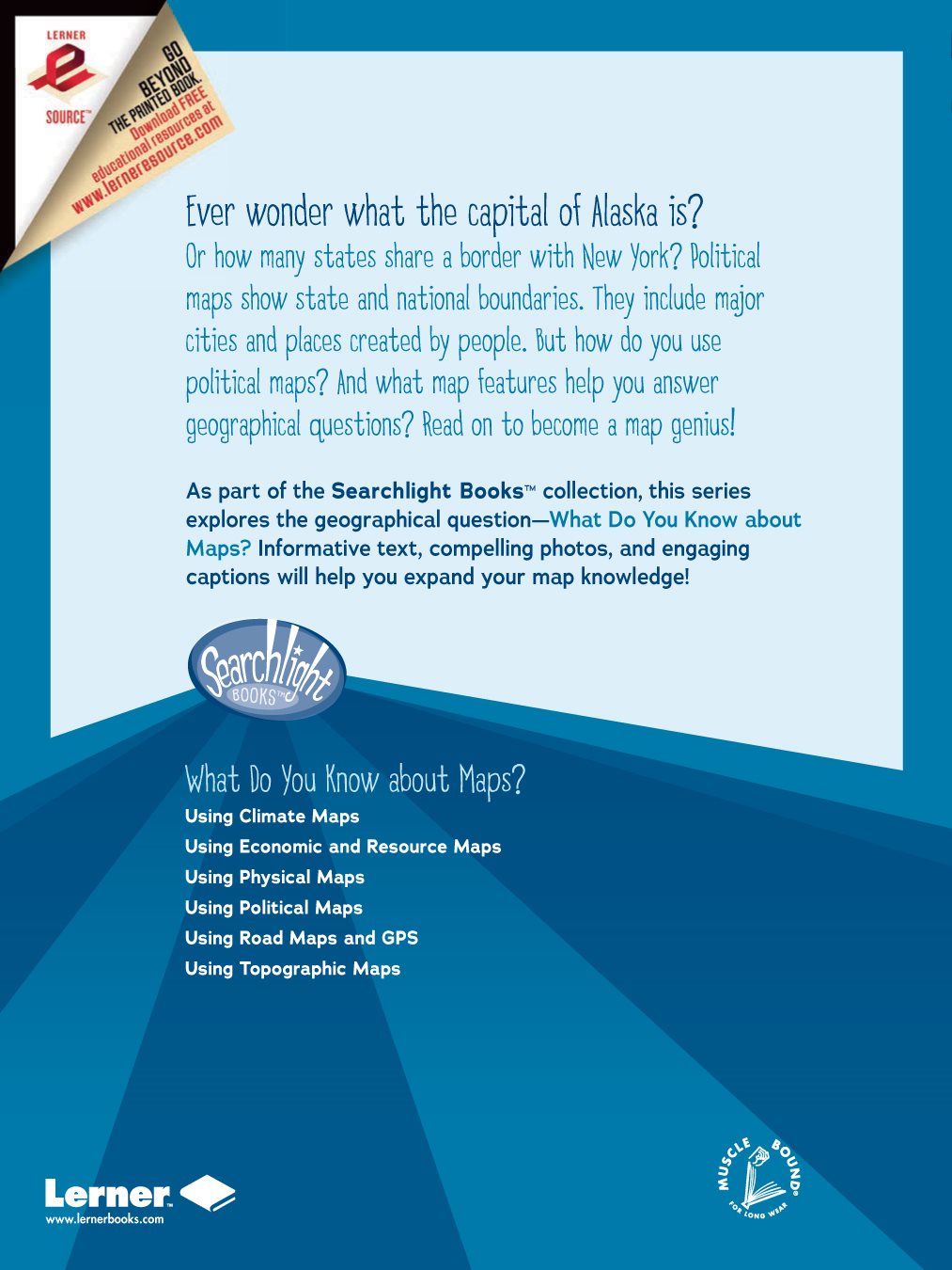
Rebecca E. Hirsch - Using Political Maps
Here you can read online Rebecca E. Hirsch - Using Political Maps full text of the book (entire story) in english for free. Download pdf and epub, get meaning, cover and reviews about this ebook. year: 2017, publisher: Lerner Publishing Group, genre: Computer. Description of the work, (preface) as well as reviews are available. Best literature library LitArk.com created for fans of good reading and offers a wide selection of genres:
Romance novel
Science fiction
Adventure
Detective
Science
History
Home and family
Prose
Art
Politics
Computer
Non-fiction
Religion
Business
Children
Humor
Choose a favorite category and find really read worthwhile books. Enjoy immersion in the world of imagination, feel the emotions of the characters or learn something new for yourself, make an fascinating discovery.
- Book:Using Political Maps
- Author:
- Publisher:Lerner Publishing Group
- Genre:
- Year:2017
- Rating:5 / 5
- Favourites:Add to favourites
- Your mark:
Using Political Maps: summary, description and annotation
We offer to read an annotation, description, summary or preface (depends on what the author of the book "Using Political Maps" wrote himself). If you haven't found the necessary information about the book — write in the comments, we will try to find it.
Rebecca E. Hirsch: author's other books
Who wrote Using Political Maps? Find out the surname, the name of the author of the book and a list of all author's works by series.


Using Political Maps — read online for free the complete book (whole text) full work
Below is the text of the book, divided by pages. System saving the place of the last page read, allows you to conveniently read the book "Using Political Maps" online for free, without having to search again every time where you left off. Put a bookmark, and you can go to the page where you finished reading at any time.
Font size:
Interval:
Bookmark:
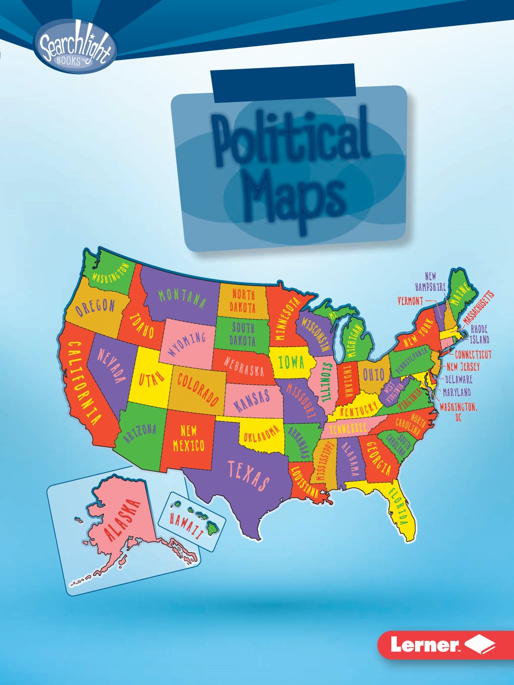
Maps

reproduced, stored in a retrieval system, or transmitted in any form or by any means
electronic, mechanical, photocopying, recording, or otherwisewithout the prior written
permission of Lerner Publishing Group, Inc., except for the inclusion of brief quotations in
an acknowledged review
A division of Lerner Publishing Group, Inc.
241 First Avenue North
Minneapolis, MN 55401 USA
at www.lernerbooks.com.
1 VP 7/15/16

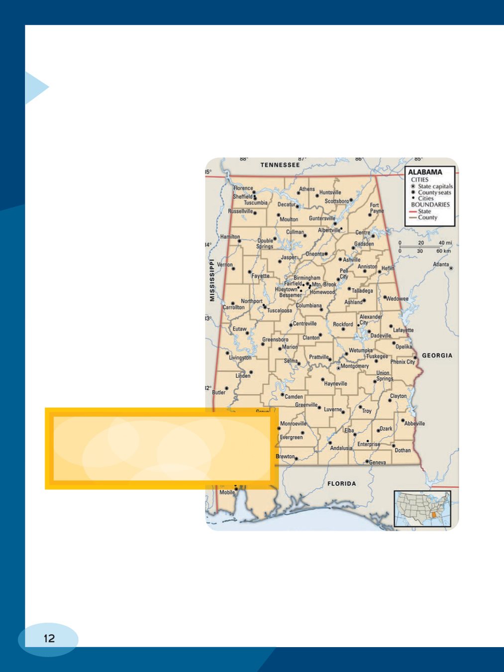
A POLITICAL
MAP? ... page
POLITICAL MAP? ... page
POLITICAL MAP? ... page
POLITICAL MAP?
things about a place.
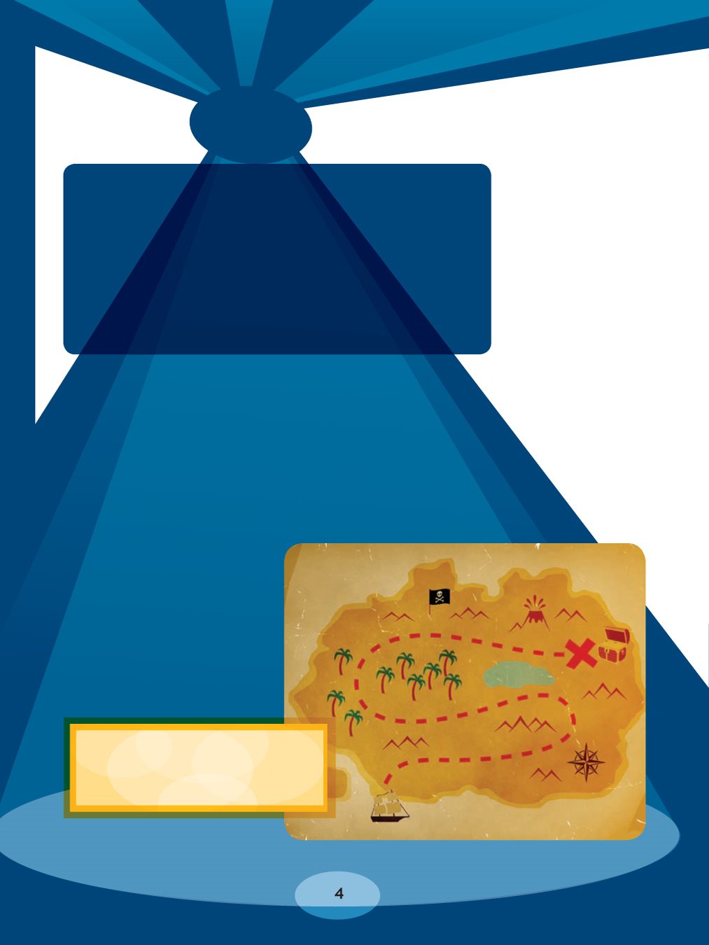
What does this map show?
the location of treasure. It may show natural features on
Earth, such as mountains and deserts.
people. It may show the borders that separate these
places. These borders arent features of the land, the
way mountains or deserts are. They are imaginary, like
the X on the treasure map. A map that shows human
places and their borders is called a political map.
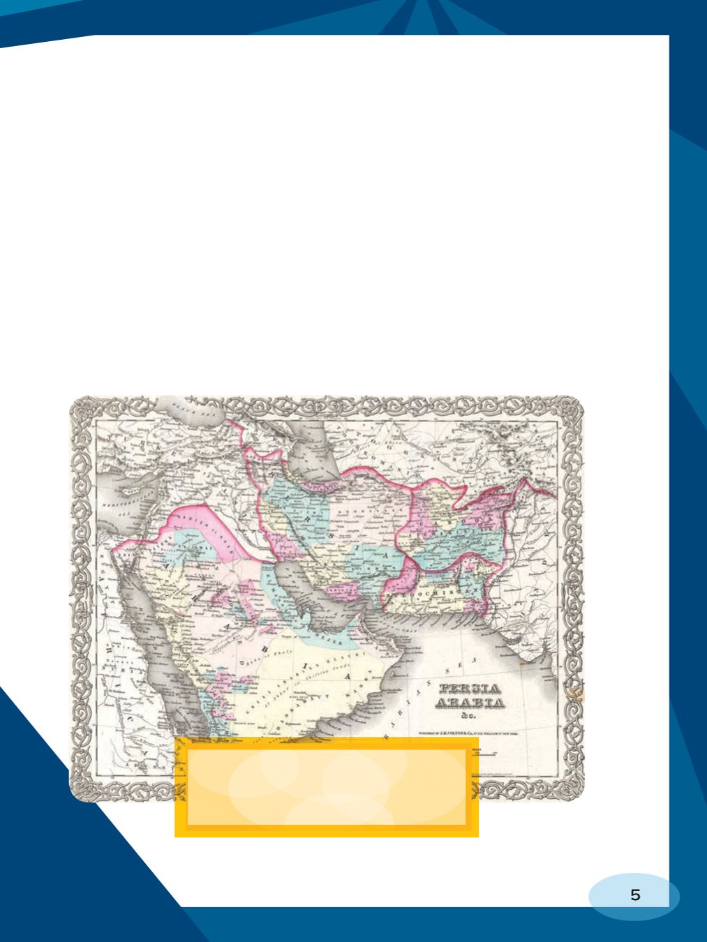
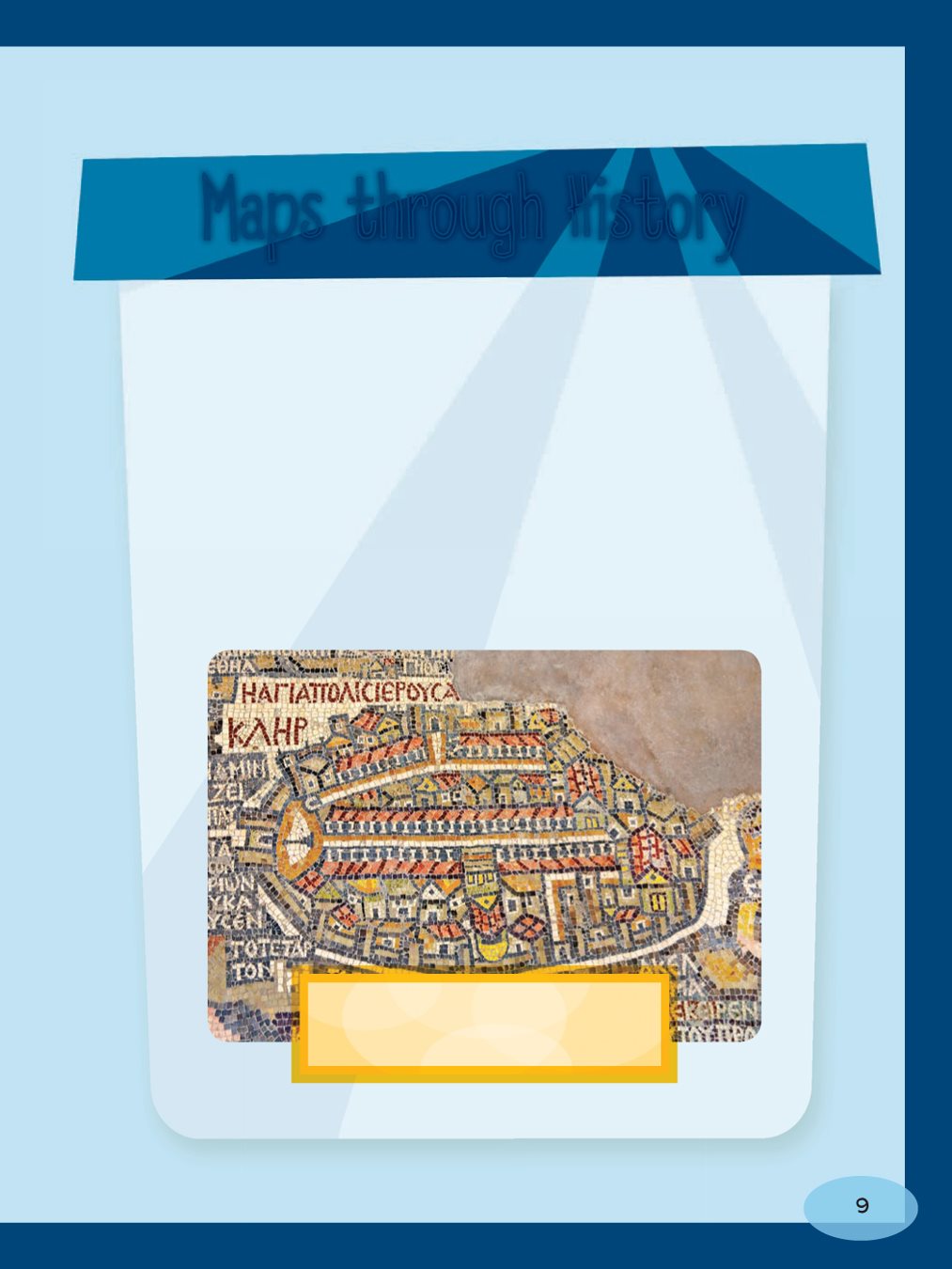
Middle East. It shows what
the area looked like in 1855.
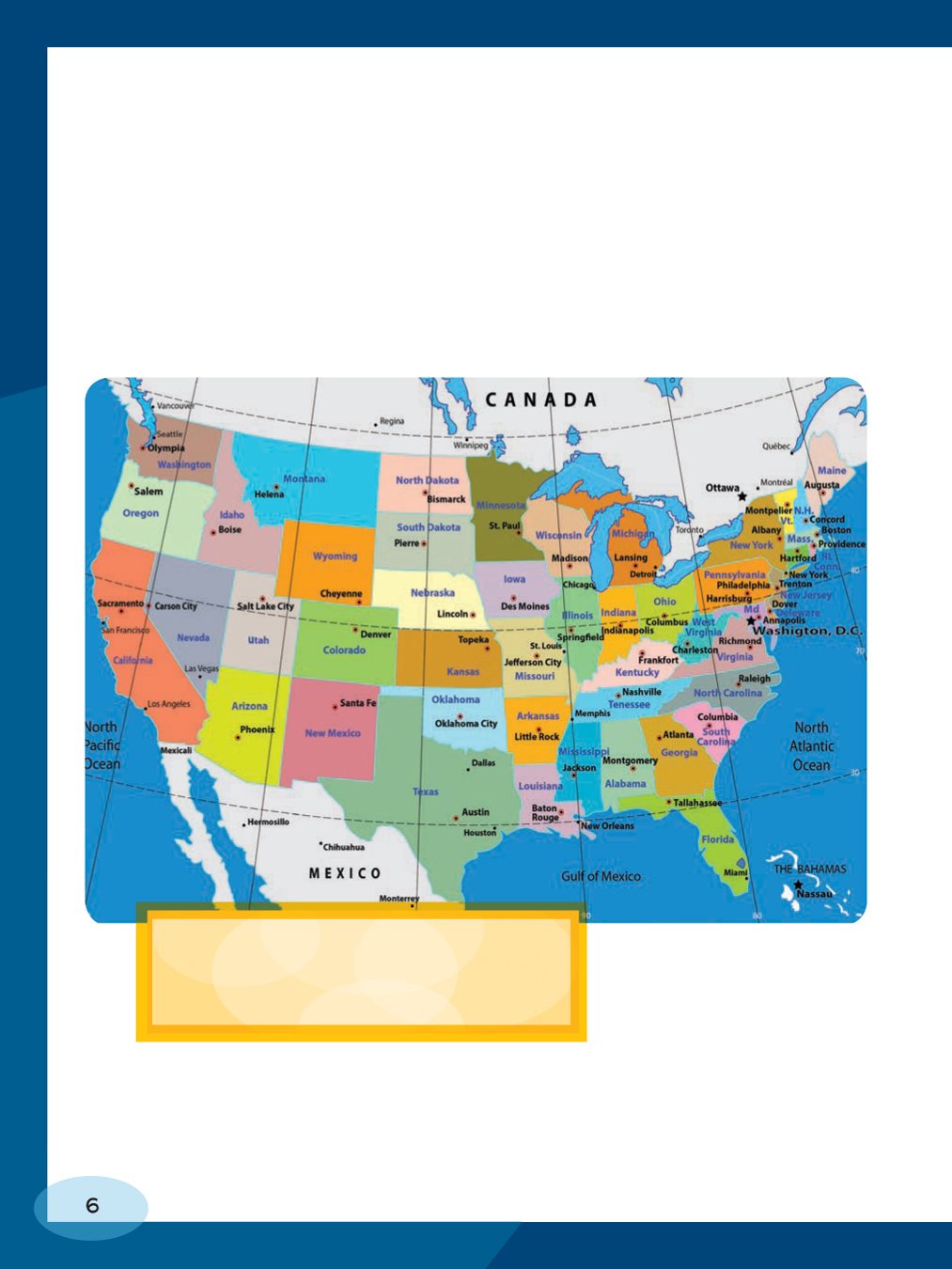
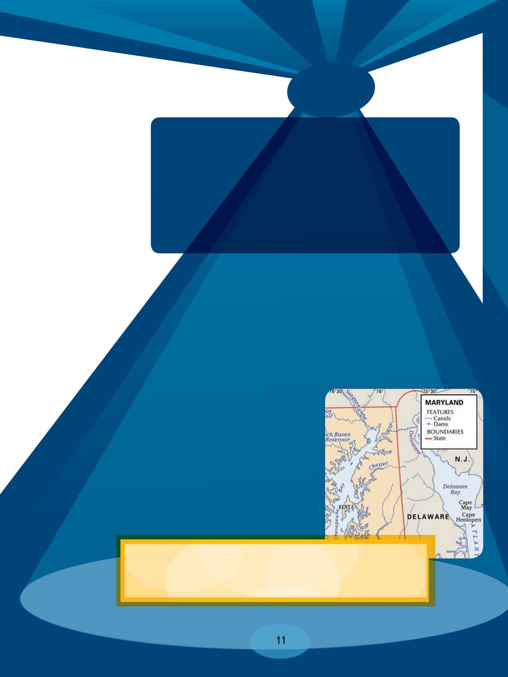
capitals. It may show states, provinces, counties, cities,
and other important places. Any place that was created
by people might appear on a political map.
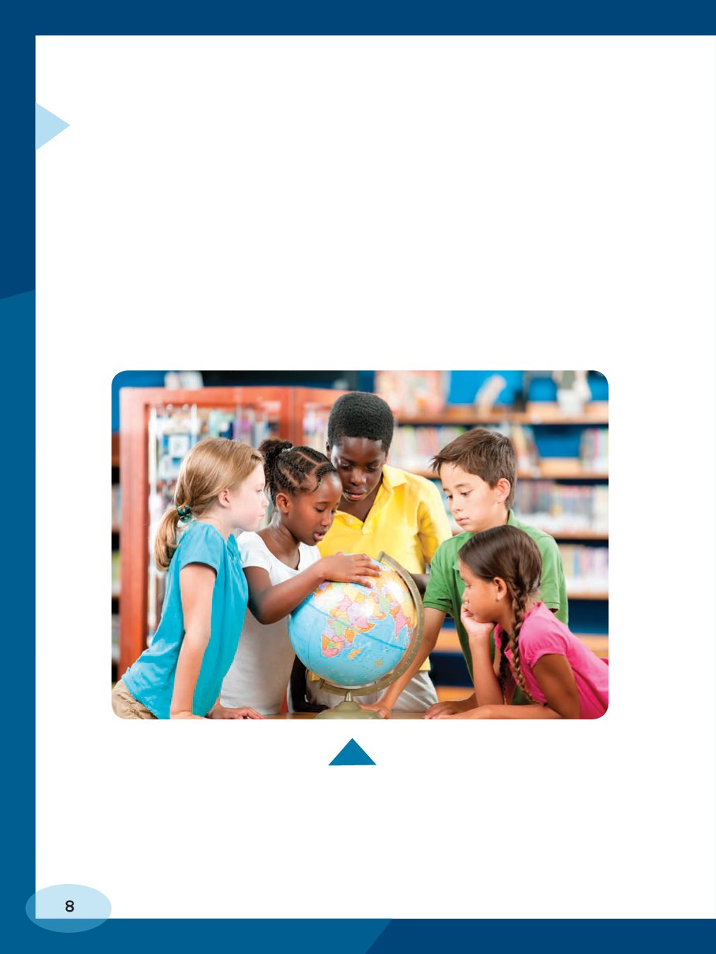
in your classroom. Maps that
show states are political maps.
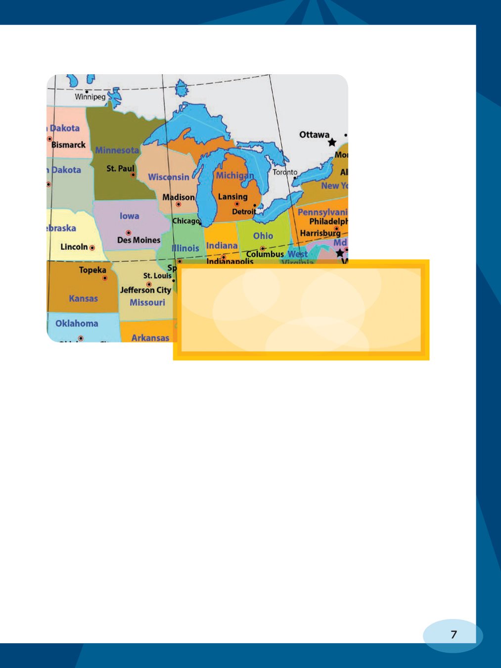
Lakes. They are the blue part of the
map near Michigan and other northern
states. But it does not show smaller
lakes within these states.
cartographers (people who make maps) choose what
places they want to emphasize. They include only the
features that will be important to people using the map.
such as rivers and lakes. But you probably will not see
mountains or deserts on a political map. Youll mostly
just see human- made things.
could look at a globe. A globe is a tiny model of Earth. It
shows the true shape of Earth a sphere. A globe can
show you all the countries on the planet, but it can show
you only part of Earth at one time. If you want to see
countries on the other side of the world, you have to turn
the globe.
YOU MUST TURN THE GLOBE TO SEE THEM.
years. In ancient times, they painted or carved
maps of their surroundings on rock or clay. As
civilization grew, mapmakers drew maps of
distant lands based on reports and drawings from
explorers and travelers. Modern cartographers
rely on aerial and satellite photography to map
the world. They draw maps by putting together
these photographs like puzzle pieces.
map of the city of Jerusalem.
once, you will have to look at a political map. A political
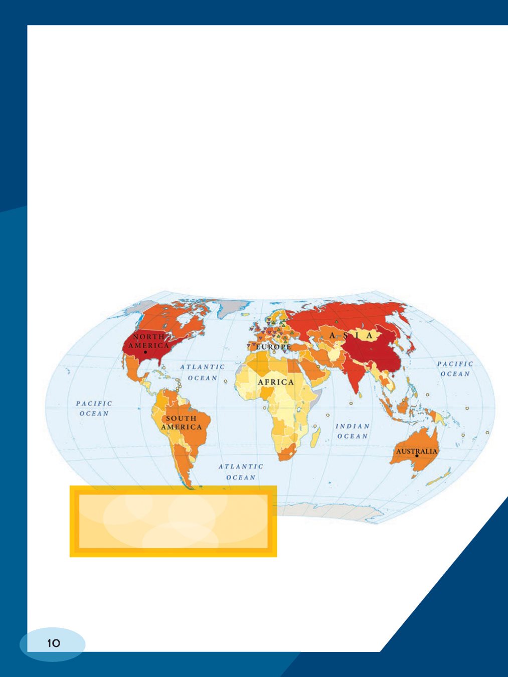
map of the entire Earth shows all the countries of the
world. A political map may show the entire Earth or any
part of Earth. It may show many countries or just one
country. Or it may show just one state, such as the state
where you live.
show all the continents on
a single page.
POLITICAL MAP?
helps you understand the symbols on the map.
What is this guide to the maps symbols called?
Font size:
Interval:
Bookmark:
Similar books «Using Political Maps»
Look at similar books to Using Political Maps. We have selected literature similar in name and meaning in the hope of providing readers with more options to find new, interesting, not yet read works.
Discussion, reviews of the book Using Political Maps and just readers' own opinions. Leave your comments, write what you think about the work, its meaning or the main characters. Specify what exactly you liked and what you didn't like, and why you think so.