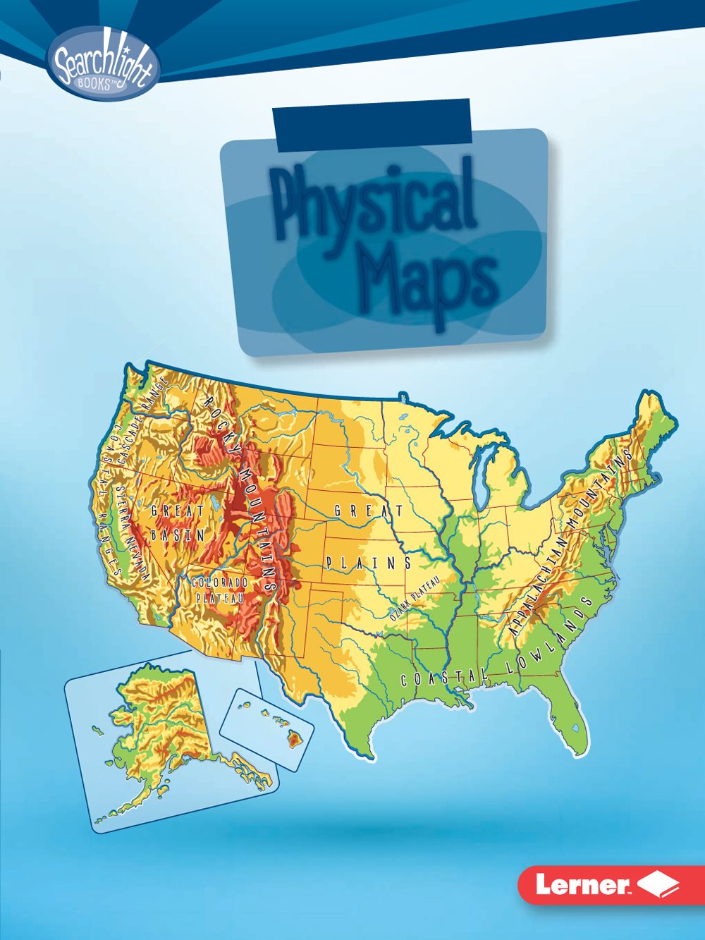
Rebecca E. Hirsch - Using Physical Maps
Here you can read online Rebecca E. Hirsch - Using Physical Maps full text of the book (entire story) in english for free. Download pdf and epub, get meaning, cover and reviews about this ebook. year: 2017, publisher: Lerner Publishing Group, genre: Computer. Description of the work, (preface) as well as reviews are available. Best literature library LitArk.com created for fans of good reading and offers a wide selection of genres:
Romance novel
Science fiction
Adventure
Detective
Science
History
Home and family
Prose
Art
Politics
Computer
Non-fiction
Religion
Business
Children
Humor
Choose a favorite category and find really read worthwhile books. Enjoy immersion in the world of imagination, feel the emotions of the characters or learn something new for yourself, make an fascinating discovery.
- Book:Using Physical Maps
- Author:
- Publisher:Lerner Publishing Group
- Genre:
- Year:2017
- Rating:5 / 5
- Favourites:Add to favourites
- Your mark:
Using Physical Maps: summary, description and annotation
We offer to read an annotation, description, summary or preface (depends on what the author of the book "Using Physical Maps" wrote himself). If you haven't found the necessary information about the book — write in the comments, we will try to find it.
Rebecca E. Hirsch: author's other books
Who wrote Using Physical Maps? Find out the surname, the name of the author of the book and a list of all author's works by series.


Using Physical Maps — read online for free the complete book (whole text) full work
Below is the text of the book, divided by pages. System saving the place of the last page read, allows you to conveniently read the book "Using Physical Maps" online for free, without having to search again every time where you left off. Put a bookmark, and you can go to the page where you finished reading at any time.
Font size:
Interval:
Bookmark:
Maps

reproduced, stored in a retrieval system, or transmitted in any form or by any means
electronic, mechanical, photocopying, recording, or otherwisewithout the prior written
permission of Lerner Publishing Group, Inc., except for the inclusion of brief quotations in
an acknowledged review.
A division of Lerner Publishing Group, Inc.
241 First Avenue North
Minneapolis, MN 55401 USA
at www.lernerbooks.com.
literature.
1-39538-21242-2/24/2016

A PHYSICAL
MAP? ... page
PHYSICAL MAP? ... page
PHYSICAL MAP? ... page
PHYSICAL MAP?
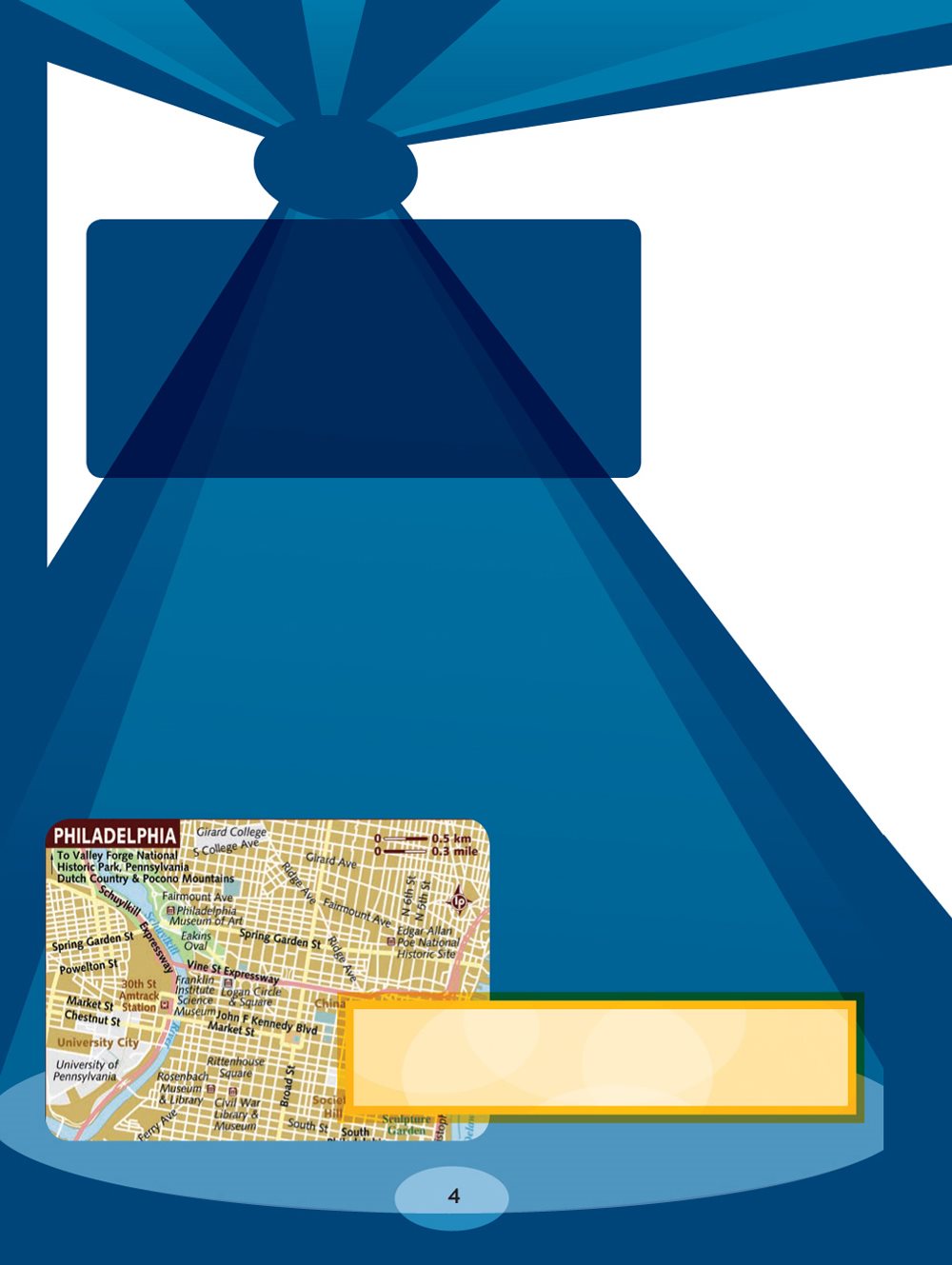
show streets, a
public pool, and a
science museum.
libraries and museums. Which place looks
most interesting to you on this map?
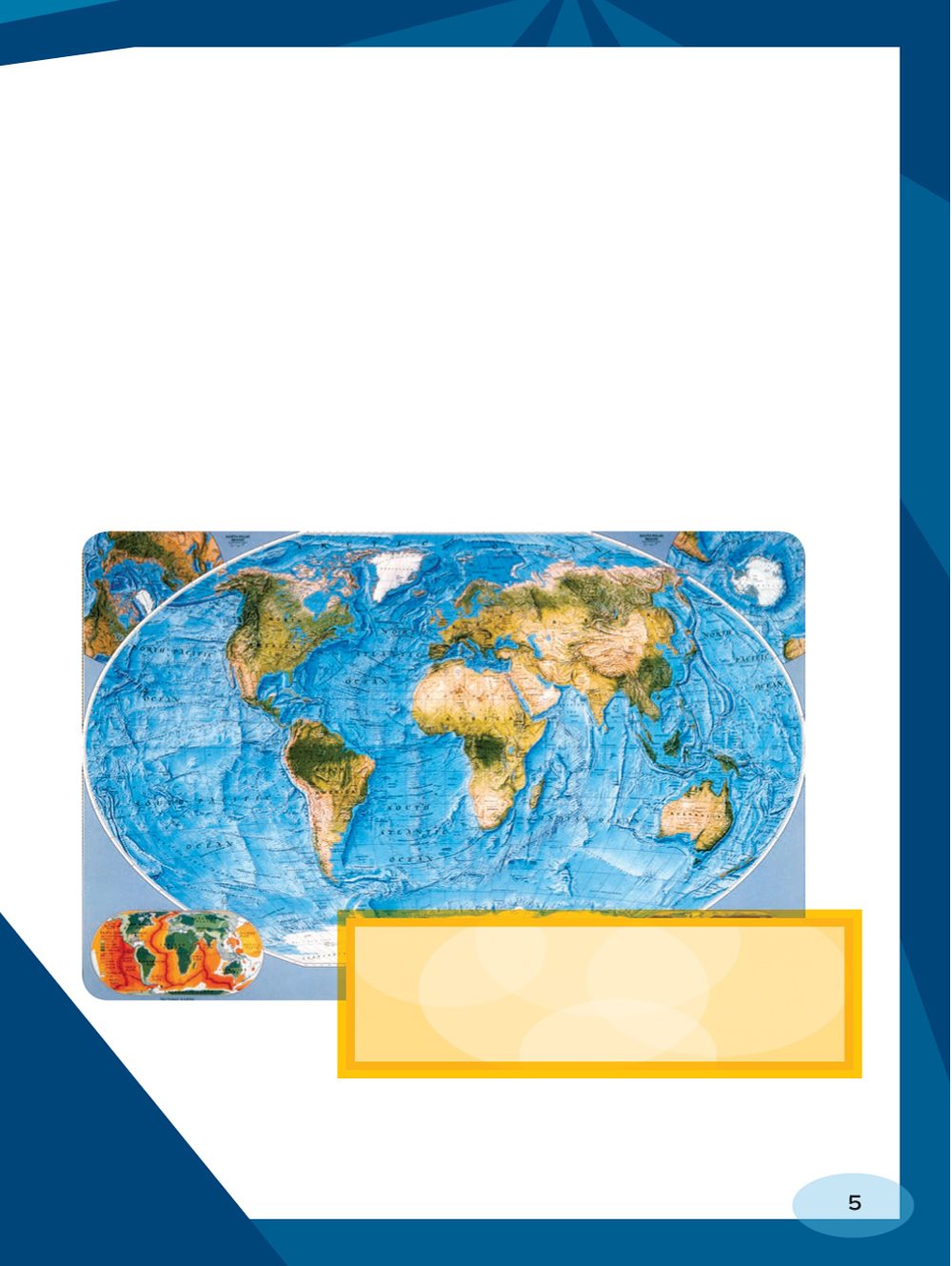
country boundaries and locations of states. Others focus
on which areas produce different crops. Still others call
out natural features. They use colors to show mountains,
valleys, lakes, and rivers. These maps also show the
location of these features and the distances between
them. Maps that show natural features are called
physical maps.
blue to show water, brown to show
deserts, and green to show vegetation
(trees and other growing things).
When you walk through a park, you see the world from
your own viewpoint. You might see a stream beside you
and some trees ahead of you. If you lie down on the
ground and look up, the world looks different. You might
see clouds overhead and a bird flying.
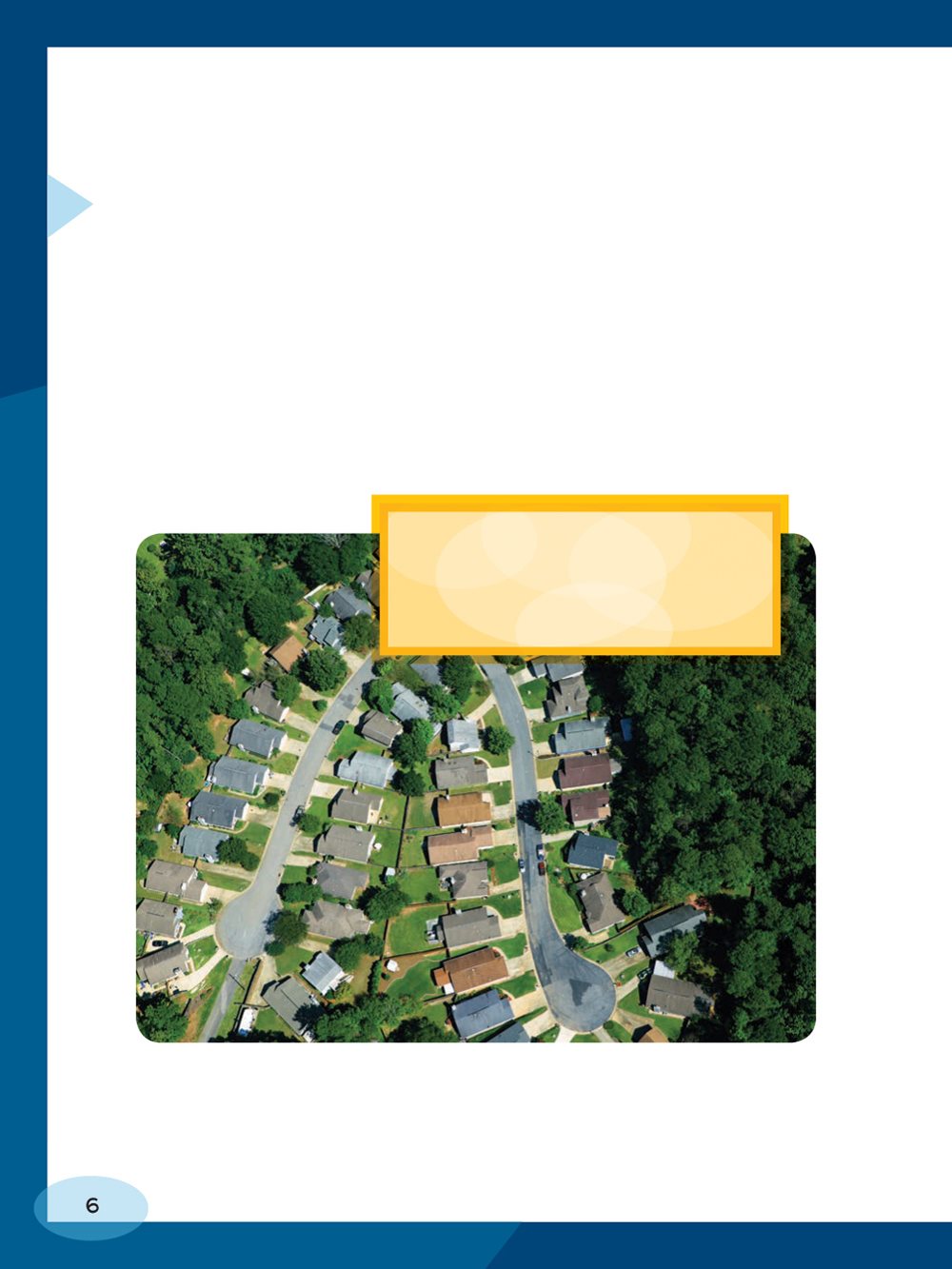
photos taken from above. They
show things as theyd look if
you saw them from the sky.
bird sees as it flies
high over the park.
From high in the sky,
it looks down on the
world. We call this
a birds- eye view.
Physical maps give a
birds- eye, or aerial,
view of the world.
When you look at a
physical map, you
are looking at a place
from above, much as
a bird might see it.
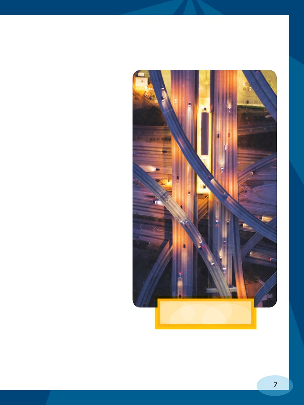
crisscrossing roads.

Before making a map, cartographers, or mapmakers,
must decide on the purpose of the map and how people
will use it. They must decide what place they want to
show. They must choose what features will be useful to
people using the map.
PUT ON A MAP OF HIKING TRAILS?
where states or provinces are. But its main purpose isnt
to show human- made places like states and countries.
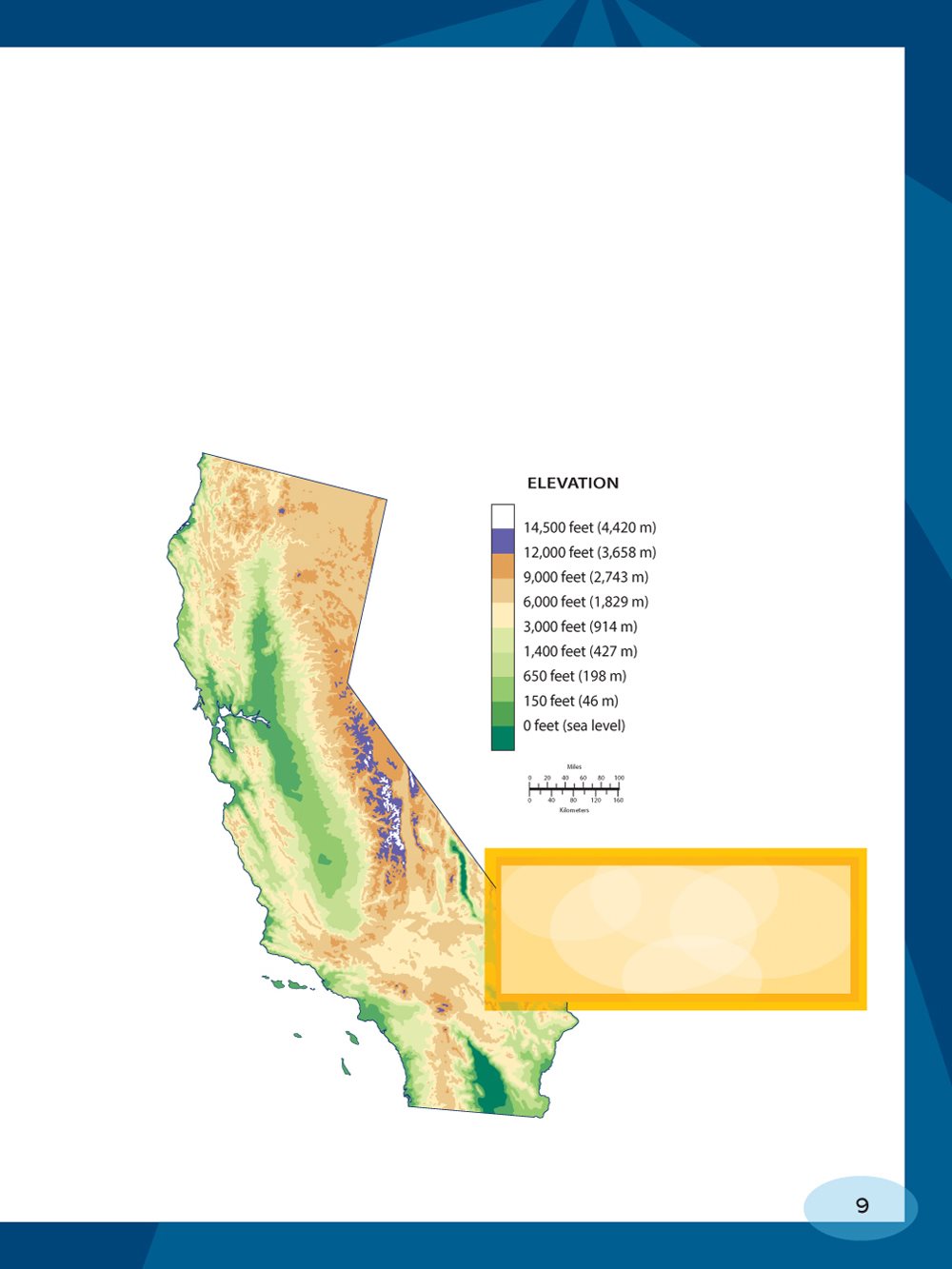
Its to show natural features. A physical map may also
show the elevation of the land, meaning its height above
sea level, and specific types of vegetation, such as
forests or grasslands.
mountains and flatter spots
in California. It also shows
the elevation of the land.

mountains, you can find the names and locations of
those mountains. You can use a physical map to explore
a place and find your way. If you are studying a state or
a country, a physical map can help you understand the
features of that place.
road builder might use a physical map to figure out the
best route for a new road. A city planner might use one
to build a school.
Someone on a
camping trip could
look to a physical
map to find a river
where she could
go fishing.
into building things. Maps
are one tool builders use
in their planning.
Alfred Wegener noticed something on world maps.
Some of the continents, such as South America
and Africa, fit together like puzzle pieces. Mountain
ranges in South America seemed to fit together
with mountain ranges in Africa. Wegener guessed
that the continents had been joined long ago in one
huge landmass. Modern scientists call this ancient
landmass Pangaea. That is Greek for all lands.
Font size:
Interval:
Bookmark:
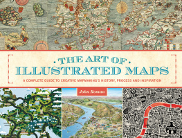
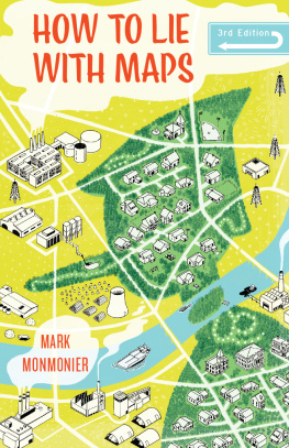
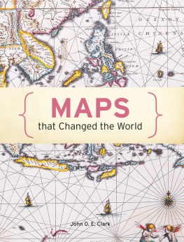
Similar books «Using Physical Maps»
Look at similar books to Using Physical Maps. We have selected literature similar in name and meaning in the hope of providing readers with more options to find new, interesting, not yet read works.
Discussion, reviews of the book Using Physical Maps and just readers' own opinions. Leave your comments, write what you think about the work, its meaning or the main characters. Specify what exactly you liked and what you didn't like, and why you think so.