Tracy Nelson Maurer - Using Topographic Maps: What Do You Know about Maps?
Here you can read online Tracy Nelson Maurer - Using Topographic Maps: What Do You Know about Maps? full text of the book (entire story) in english for free. Download pdf and epub, get meaning, cover and reviews about this ebook. year: 2017, publisher: Lerner Publishing Group, genre: Computer. Description of the work, (preface) as well as reviews are available. Best literature library LitArk.com created for fans of good reading and offers a wide selection of genres:
Romance novel
Science fiction
Adventure
Detective
Science
History
Home and family
Prose
Art
Politics
Computer
Non-fiction
Religion
Business
Children
Humor
Choose a favorite category and find really read worthwhile books. Enjoy immersion in the world of imagination, feel the emotions of the characters or learn something new for yourself, make an fascinating discovery.
- Book:Using Topographic Maps: What Do You Know about Maps?
- Author:
- Publisher:Lerner Publishing Group
- Genre:
- Year:2017
- Rating:4 / 5
- Favourites:Add to favourites
- Your mark:
Using Topographic Maps: What Do You Know about Maps?: summary, description and annotation
We offer to read an annotation, description, summary or preface (depends on what the author of the book "Using Topographic Maps: What Do You Know about Maps?" wrote himself). If you haven't found the necessary information about the book — write in the comments, we will try to find it.
Tracy Nelson Maurer: author's other books
Who wrote Using Topographic Maps: What Do You Know about Maps?? Find out the surname, the name of the author of the book and a list of all author's works by series.


Using Topographic Maps: What Do You Know about Maps? — read online for free the complete book (whole text) full work
Below is the text of the book, divided by pages. System saving the place of the last page read, allows you to conveniently read the book "Using Topographic Maps: What Do You Know about Maps?" online for free, without having to search again every time where you left off. Put a bookmark, and you can go to the page where you finished reading at any time.
Font size:
Interval:
Bookmark:
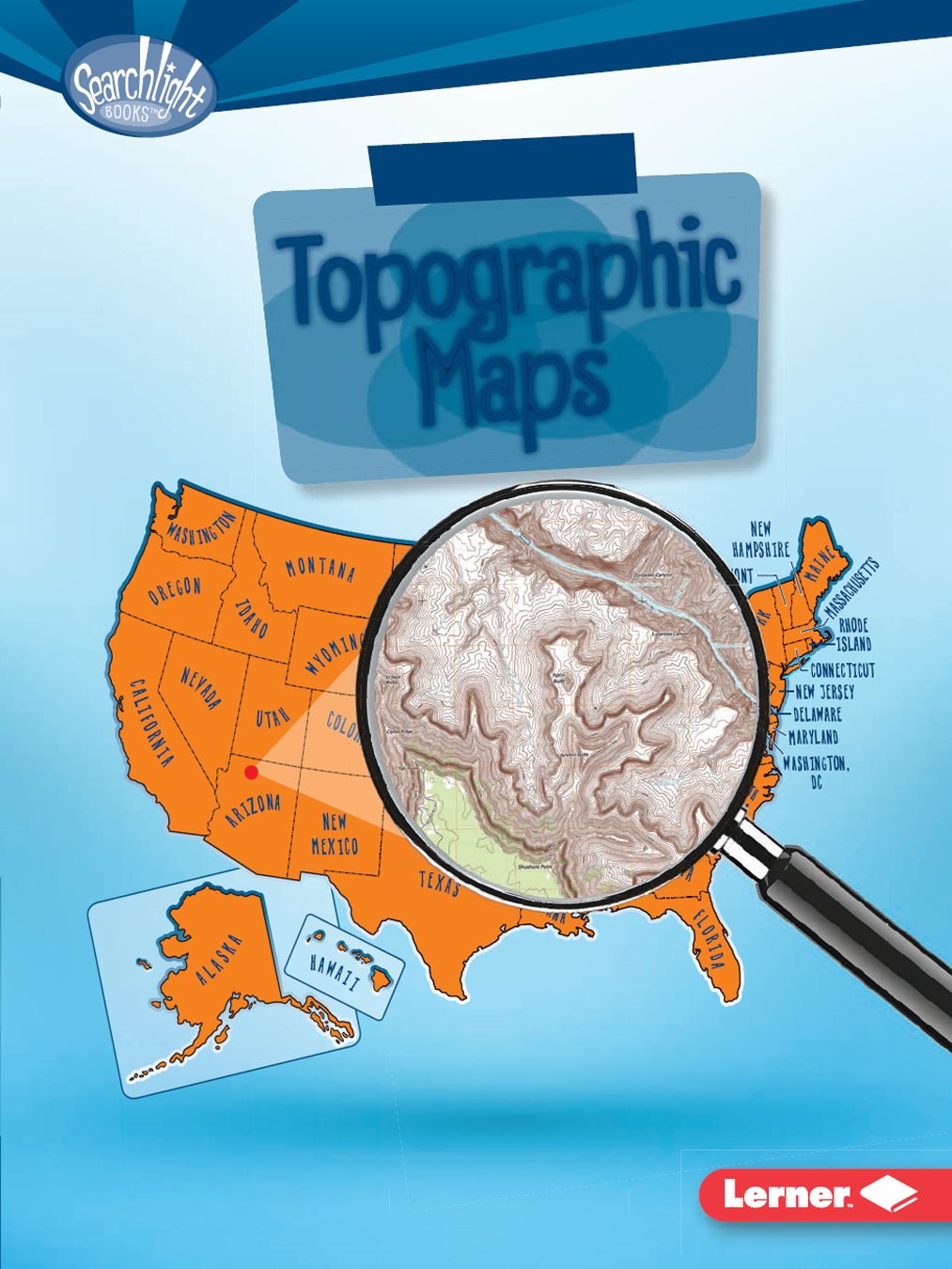
Maps

reproduced, stored in a retrieval system, or transmitted in any form or by any means
electronic, mechanical, photocopying, recording, or otherwisewithout the prior written
permission of Lerner Publishing Group, Inc., except for the inclusion of brief quotations in
an acknowledged review.
A division of Lerner Publishing Group, Inc.
241 First Avenue North
Minneapolis, MN 55401 USA
at www.lernerbooks.com.
1-39537-21241-3/14/2016

TOPOGRAPHIC
MAP? ... page
TOPOGRAPHIC MAP? ... page
TOPOGRAPHIC MAP? ... page
TOPOGRAPHIC MAP?
topographic maps. What
do these maps show?

place. A road map, for instance, might show how long
a main road is between Denver, Colorado, and Orlando,
Florida. Topographic maps are different, since they can
show height. They can show that Denver has a higher
elevation than Orlando does.
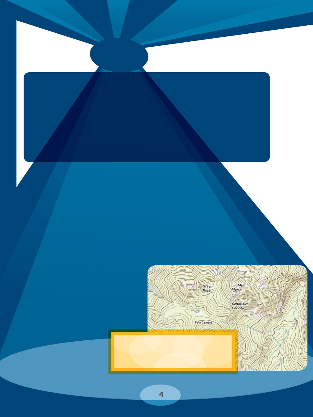
level. Denver (ABOVE) has a high elevation.
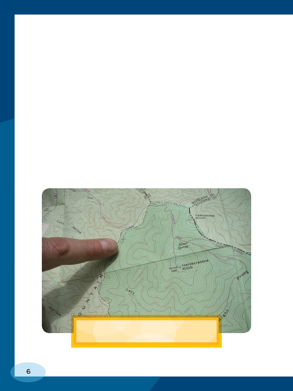
these maps are called contour lines. They show height
by connecting points that are the same elevation. This
means that if you trace a single contour line with your
finger, all the places along that line will be the same
height. Every fifth contour line is usually labeled with the
height of the places along that line. You can estimate
the elevations of the places along lines without labels too.
Just look at how much space is between the lines. If the
lines are close together, they mark a steep elevation. If
they are far apart, they mark flatter land.
topographic map are the same height.
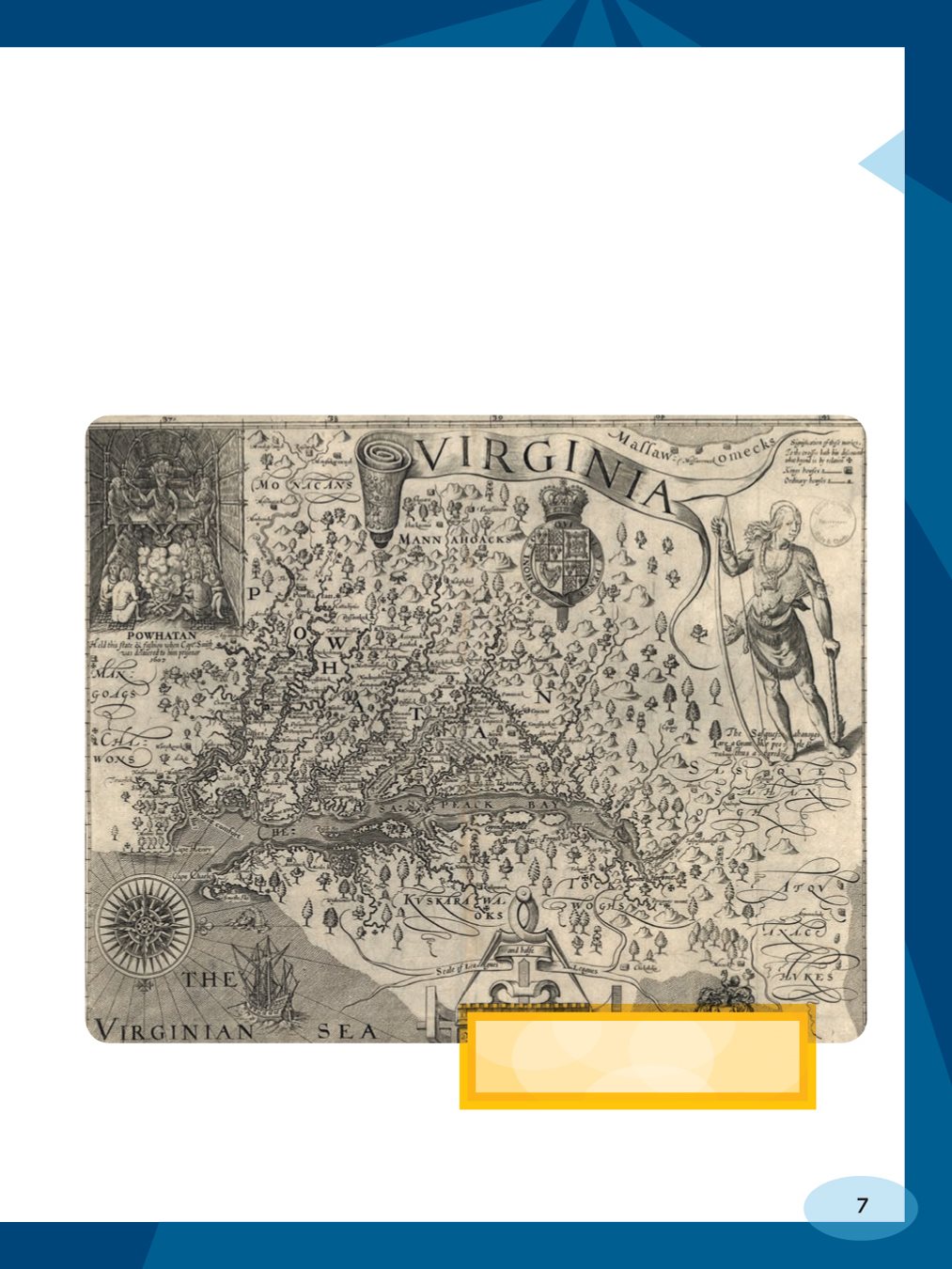
in the seventeenth century. These early maps mostly
showed coasts. People in France produced the first full
set of topographic maps for any country. They took
about a century to make.
first published in 1612.

topographic maps much more quickly than past
cartographers could. The United States Geological
Survey (USGS) creates most of the topographic maps
in the United States. They use technology and modern
tools to make the maps, including aerial photography;
pictures from satellites; and information from GPS, or the
global positioning system.
to help them than past cartographers did.
information cartographers can use to make maps.
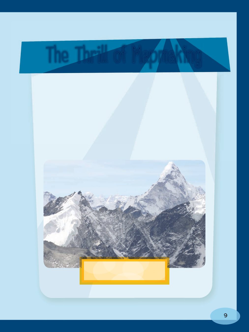
In the past, surveying work was very dangerous.
Diseases, frostbite, and falls killed many surveyors.
But surveying expeditions were also exciting! Sir
George Everest spent twenty- five years mapping
India. The worlds tallest mountain, Mount Everest
in Tibet, is named after him.
feet (8,850 meters) high!
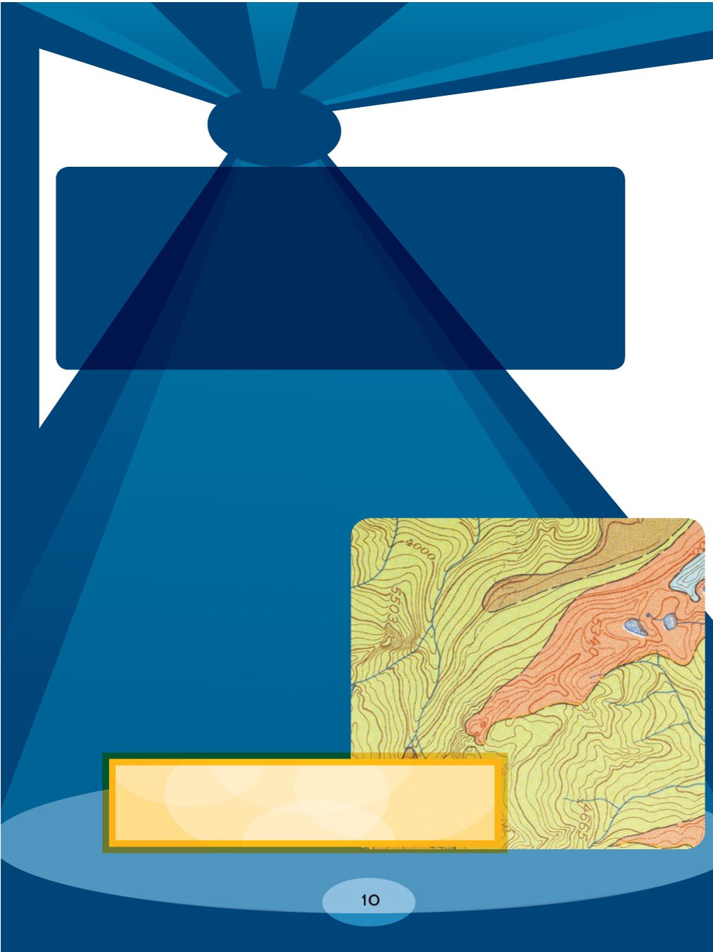
TOPOGRAPHIC MAP?
elevations. How many labeled
elevation lines do you see on this map?
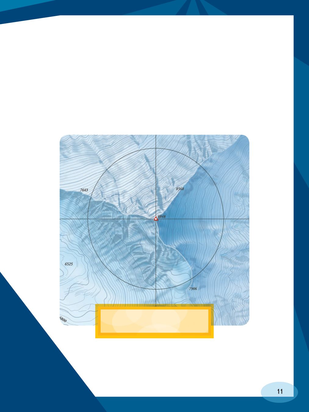
because of their rings of lines. A single contour line on a
topographic map is known as an isoline. An isoline is a
line that has a single value, or measurement. A contour
line is an isoline because it marks a single elevation.
shows many isolines.
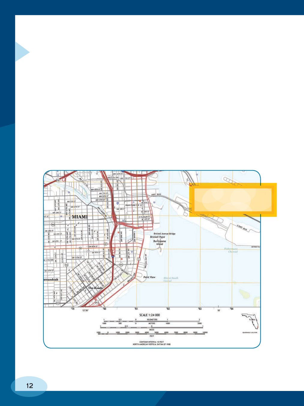
but they do have several typical map features. They
often have a scale. Places on maps cant be drawn at
Font size:
Interval:
Bookmark:
Similar books «Using Topographic Maps: What Do You Know about Maps?»
Look at similar books to Using Topographic Maps: What Do You Know about Maps?. We have selected literature similar in name and meaning in the hope of providing readers with more options to find new, interesting, not yet read works.
Discussion, reviews of the book Using Topographic Maps: What Do You Know about Maps? and just readers' own opinions. Leave your comments, write what you think about the work, its meaning or the main characters. Specify what exactly you liked and what you didn't like, and why you think so.