Best Easy Day Hikes Series
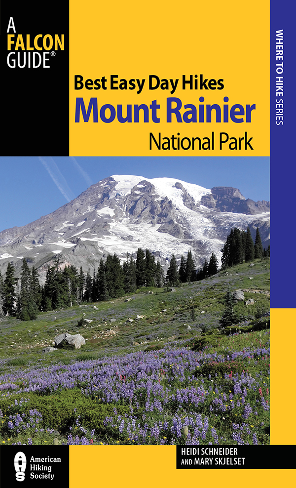
Best Easy Day Hikes Mount Rainier National Park
Third Edition
Heidi Schneider and Mary Skjelset
2006, 2012 Morris Book Publishing, LLC
A previous edition of this book was published by Falcon Publishing, Inc. in 1999.
ALL RIGHTS RESERVED. No part of this book may be reproduced or transmitted in any form by any means, electronic or mechanical, including photocopying and recording, or by any information storage and retrieval system, except as may be expressly permitted in writing from the publisher. Requests for permission should be addressed to Globe Pequot Press, Attn: Rights and Permissions Department, PO Box 480, Guilford, CT 06437.
FalconGuides is an imprint of Globe Pequot Press.
Falcon, FalconGuides, and Outfit Your Mind are registered trademarks of Morris Book Publishing, LLC.
Project editor: David Legere
Layout: Joanna Beyer
Maps by XNR Productions, Inc. Morris Book Publishing, LLC
New maps by Alena Pearce Morris Book Publishing, LLC
TOPO! Explorer software and SuperQuad source maps courtesy of National Geographic Maps. For information about TOPO! Explorer, TOPO!, and Nat Geo Maps products, go to www.topo.com or www.natgeomaps.com.
Library of Congress Cataloging-in-Publication Data is available on file.
ISBN 978-0-7627-9495-9
The authors and Globe Pequot Press assume no liability for accidents happening to, or injuries sustained by, readers who engage in the activities described in this book.
Contents
The Hikes
What Is a Best Easy Day Hike?
Best Easy Day Hikes Mount Rainier National Park includes shorter, less-strenuous hikes that we recommend for nice, casual day hikes in Mount Rainier National Park.
The thirty hikes in this book are located in all four quadrants of Mount Rainier National Park. All hikes in this guide are on easy-to-follow trails with no off-trail sections. It is also easy to get to the trailhead of all hikes in this book; you can reach them with any two-wheel-drive vehicle. A trail map and detailed driving instructions help you reach the trailhead and orient yourself once there.
These hikes vary in length from 0.3 to 6.4 miles, but most are relatively short, ranging between 1 and 5 miles total. With a few exceptions, none has extreme hills.
Some of the hikes in this book might not seem easy to some hikers. The geography of Mount Rainier does not lend itself to very easy hikes. Steep glaciated valleys and volcanic ridges dominate the landscape. Unparalleled scenery, however, rewards the hiker willing to put in the extra effort.
That said, we have made certain that this guide has a hike for everyone. To help you decide, we have ranked the hikes from easiest to hardest. Please keep in mind that short does not always equal easy. Other factors such as elevation gain and trail conditions have to be considered.
We hope you thoroughly enjoy your best easy hiking experiences in Mount Rainier National Park.
Heidi Schneider and Mary Skjelset
Getting There
Entrance Stations
Mount Rainier is located in central western Washington and has four entrance stationsone at each corner of the park. The southwest entrance, Nisqually Entrance Station, is open year-round. The other threeCarbon River Entrance Station (northwest), Stevens Canyon Entrance Station (southeast), and White River Entrance Station (northeast)are generally open mid- to late June or early July. It is an easy drive from Seattle, Tacoma, or Portland to any of the four entrance stations. It is also possible to fly into either Portland or the Seattle/Tacoma airport, where you can rent a car or take a shuttle into the park. Although paved and well maintained, the park roads are winding two-lanes and often crowded with traffic, including slow-moving vehicles. During the daytime, expect a leisurely drive through the park. Keep in mind that gasoline is unavailable anywhere in the park, and you should make certain you fill your tank in one of the neighboring communities prior to entering the park.
Following is a detailed description of how to reach each entrance station:
Stevens Canyon Entrance Station: From the north (Seattle or Tacoma), go south on I-5 until you reach WA 512, which originates in Tacoma. Go east on WA 512 to WA 410. The park entrance is 33.0 miles from Enumclaw. Go east on WA 410, which starts going east and then bends south as it nears the park. After entering the park, continue on WA 410 east for 9.0 miles until you reach the WA 123 junction. Turn right (south) onto WA 123 and travel for 11.2 miles to Stevens Canyon Road. Turn right (west) onto Stevens Canyon Road; the Stevens Canyon Entrance Station is directly in front of you. DeLorme: Washington Atlas and Gazetteer : Page 48 C4.
From the south (Portland), go about 75 miles north on I-5 to US 12. Go east on US 12 through Packwood (the last townand gas, camping supplies, and other items you might needbefore entering the park), and continue 7.0 miles to WA123. Go left (north) on WA 123 and in 3.0 miles enter Mount Rainier National Park. In another mile go left (west) on Stevens Canyon Road; the entrance station is directly in front of you. DeLorme: Washington Atlas and Gazetteer : Page 48 C4.
From the east (Yakima), drive west on WA 410. The park boundary is 13.0 miles past the hamlet of American River. From the park boundary continue 3.6 miles west on WA 410 and turn left (south) on WA 123. Drive 11.2 miles, and turn right (west) onto Stevens Canyon Road; the entrance station is directly in front of you. DeLorme: Washington Atlas and Gazetteer : Page 48 C4.
Nisqually Entrance Station: From the north (Seattle or Tacoma), go south on I-5 to WA 512, just south of Tacoma. Drive 2.0 miles east on WA 512 and turn south onto WA 7. Drive 31.0 miles south to Elbe and go east on WA 706. Continue 13.0 miles to the park boundary. The last town before entering the park is Ashford, so be sure to stock up on supplies. The Nisqually Entrance Station is 5.0 miles east of Ashford. Once inside the Mount Rainier National Park, WA 706 becomes the Longmire-Paradise Road. DeLorme: Washington Atlas and Gazetteer : Page 48 C1.
From the south (Portland), drive about 75 miles north on I-5 to US 12. Go 30.0 miles east on US 12, then turn north onto WA 7. Drive 17.0 miles north to Elbe and turn east onto WA 706. Drive 13.0 miles to the park boundary. The last town before entering the park is Ashford, so be sure to stock up on supplies. The Nisqually Entrance Station is 5.0 miles east of Ashford. DeLorme: Washington Atlas and Gazetteer : Page 48 C1.
From the East (Yakima), drive west on US 12 to WA 123. Turn right (north) onto WA 123 and drive 3.0 miles to the park entrance. Turn left (west) onto Stevens Canyon Road. Pay the entrance fee at the Stevens Canyon Entrance Station and continue west on Stevens Canyon Road, which eventually becomes Longmire-Paradise Road. The Nisqually Entrance Station is 6.7 miles west of the Longmire Historic District. DeLorme: Washington Atlas and Gazetteer : Page 48 C1.
Carbon River Entrance Station: Whether you are coming from the north or south, the best route starts from Tacoma. From Tacoma go east on WA 512 to WA 410. Go about 16 miles east on WA 410 to WA 165 in the town of Buckley. Go right (south) on Highway 165 until you reach Wilkeson. Continue from Wilkeson for 9.0 miles to where the road forks. Go to the left (east) onto Carbon River Road. Continue 8.0 miles to the Carbon River Entrance Station. DeLorme: Washington Atlas and Gazetteer : Page 48 A1.


