Chuck Flood - Oregons Highway 99
Here you can read online Chuck Flood - Oregons Highway 99 full text of the book (entire story) in english for free. Download pdf and epub, get meaning, cover and reviews about this ebook. year: 2016, publisher: Arcadia Publishing Inc., genre: Home and family. Description of the work, (preface) as well as reviews are available. Best literature library LitArk.com created for fans of good reading and offers a wide selection of genres:
Romance novel
Science fiction
Adventure
Detective
Science
History
Home and family
Prose
Art
Politics
Computer
Non-fiction
Religion
Business
Children
Humor
Choose a favorite category and find really read worthwhile books. Enjoy immersion in the world of imagination, feel the emotions of the characters or learn something new for yourself, make an fascinating discovery.

- Book:Oregons Highway 99
- Author:
- Publisher:Arcadia Publishing Inc.
- Genre:
- Year:2016
- Rating:3 / 5
- Favourites:Add to favourites
- Your mark:
Oregons Highway 99: summary, description and annotation
We offer to read an annotation, description, summary or preface (depends on what the author of the book "Oregons Highway 99" wrote himself). If you haven't found the necessary information about the book — write in the comments, we will try to find it.
Chuck Flood: author's other books
Who wrote Oregons Highway 99? Find out the surname, the name of the author of the book and a list of all author's works by series.

Oregons Highway 99 — read online for free the complete book (whole text) full work
Below is the text of the book, divided by pages. System saving the place of the last page read, allows you to conveniently read the book "Oregons Highway 99" online for free, without having to search again every time where you left off. Put a bookmark, and you can go to the page where you finished reading at any time.
Font size:
Interval:
Bookmark:
IMAGES
of America
OREGONS
HIGHWAY 99
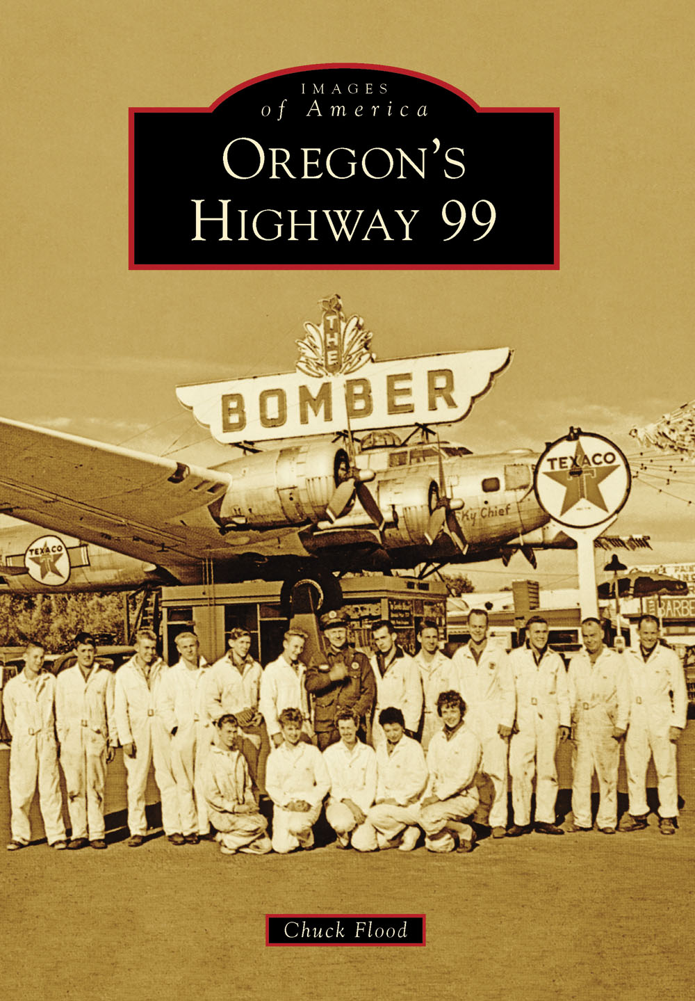
ON THE COVER: Art Lacey stands in front of The Bomber south of Milwaukie. Lacey purchased a surplus B-17 bomber in 1947 and flew it to Troutdale. He loaded it onto four trucks and moved it to its new home atop his service station on McLoughlin Boulevard. The Bomber was probably the best-known roadside attraction along Oregons Highway 99. Lacey is in the dark uniform; the others are not identified. (Jack ODonnell Collection.)
IMAGES
of America
OREGONS
HIGHWAY 99
Chuck Flood

Copyright 2016 by Chuck Flood
ISBN 978-1-4671-1534-6
Ebook ISBN 9781439656549
Published by Arcadia Publishing
Charleston, South Carolina
Library of Congress Control Number: 2015948920
For all general information, please contact Arcadia Publishing:
Telephone 843-853-2070
Fax 843-853-0044
E-mail
For customer service and orders:
Toll-Free 1-888-313-2665
Visit us on the Internet at www.arcadiapublishing.com
To Debbie (of course), Mike and Jennifer for putting me up, and Jack ODonnell for his continued support.
CONTENTS
ACKNOWLEDGMENTS
Many thanks are due to the individuals and organizations that offered their support and assistance with this project:
Addie Maguire, Albany Regional Museum, Albany (ARM)
Mary Gallagher, Benton County Museum, Philomath (BCM)
Devin Busby, City of Portland Archives, Portland (CPA)
Karin Morey, Clackamas County Historical Society, Oregon City (CCHS)
Jack ODonnell Collection (JCOD)
Linda VanOrden, Junction City Historical Society, Junction City (JuncCityHS)
Joan Momsen, Josephine County Historical Society, Grants Pass (JoCoHS)
Cheryl Roffe, Lane County Historical Museum, Eugene (LCHM)
Chris Peterson, Oregon Digital, Corvallis (OD-OSU)
Oregon Historic Photograph Collections (OHPC)
Austin Schulz, Oregon State Archives, Salem (OSA)
Diana Painter, Oregon State Historic Preservation Office, Salem (OSHPO)
Dave Hegeman, Oregon State Library, Salem (OSL)
Original Pancake House Archives, Portland (OPH)
Patty Chap and Bette Jo Lawson, Polk County Historical Society, Rickreall (PCHS)
Jim Roake, Roakes the Hot Dog Folks (JR)
Pat Harper, Southern Oregon Historical Society, Medford (SOHS)
Sean Garvey, Tigard Public Library, Tigard (TPL)
Karen Lange, Washington County Museum, Portland (WCM)
Kylie Pine, Willamette Heritage Center, Salem (WHC)
Images with credit lines are courtesy of the organization or individual whose abbreviation appears in the above list, which should be used to determine the contributors full name. Images without credit lines are from the authors personal collection.
INTRODUCTION
Highway 99 entered Oregon by crossing the Columbia River north of Portland and exited the state via the Siskiyou Mountains south of Ashland. That can be stated with certainty. Between those two fixed points, however, Highway 99 and its predecessor, the Pacific Highway, followed various and sometimes bewildering routes as it traversed 250 miles of fertile fields and forested hills. It was not until the 1930s that Highway 99s official alignmentincluding its major branches, 99E and 99Wwas finalized. Today, almost all of the old highway still exists and is in daily use.
Like its neighbor states Washington and California, Oregon is bifurcated by the Cascade Mountains into a wet west side and a dry east side. In broad terms, agriculture, forest products, and the states largest cities characterize the west side; the dry eastern side is more typified by mining, ranching, and wide open spaces. Both sides were well populated when Lewis and Clark made their famous trek to the Pacific Ocean.
Early post-contact overland travel into Oregon was from the east. The mighty Columbia River was a waterway for fur traders and explorers; starting in the 1840s, the Oregon Trail swarmed with emigrants on a one-way search for a new life. They reached their destination in the broad, level Willamette Valley. Within a decade, a sizeable population of settlers had grown up in the valley. Towns quickly followed; trading points for agricultural products, the earliest were usually along rivers, but inland settlements soon appeared.
Though home-seekers from the east continued to pour in, by the 1850s, north-south travel routes had developed in western Oregon. The Applegate Trail, an alternate route of the Oregon Trail that delivered settlers into the state via California, became a main thoroughfare for Oregon miners bound for the mother lode of gold discoveries in the foothills outside Sacramento. By 1859, several territorial roads had been established along the edges of the Willamette Valley, and towns became connected through a network of farm-to-market roads.
As population grew, so did commerce. Stagecoaches and freight wagons began operations, but few of the early roads were intended for long-distance journeys. Railroads handled that kind of traffic. By the mid-1870s, the locomotives of the Oregon & California Railroad were steaming up and down the Willamette Valley. As the 20th century dawned, road conditions were still primitive throughout most of Oregon.
Then came the automobile. Originally a plaything of the rich, autos rapidly became popular, safer, and affordable. In 1900, only 8,000 automobiles were registered in the entire country; by 1930, the nations roads bulged with more than 23 million cars and an additional 3.5 million trucks. Commercial travel increased exponentially. Suburbs developed as workers realized they could live at a distance from their workplaces. Tourism was born. People traveled for the sheer fun of it, for the excitement of seeing sights and places theyd heard of but never dreamed theyd be able to visit.
It didnt take long to realize that existing roads were inadequate for the demand. Many early highways were no better than the wagon roads that preceded them; dust-choked in summer and mud-pits in the rainy season, they often got from point A to point B via points C, D, X, and Y. Good roads became a rallying cry among motorists. Major highway-building programs resulted from demands for getting from place to place faster and more directly.
In 1913, the Oregon legislature created a state highway commission with the power to raise funds for highway construction. Among its first projects was the Pacific Highway, proposed to run from Portland to Salem through Oregon City; then through Albany to Eugene, Cottage Grove, Roseburg, Grants Pass, Medford, and Ashland.
Planning had hardly begun before an effort was made to split the route into an East Side and a West Side Pacific Highway (not to be confused with Highways 99E and 99W, which came later). The East Side Pacific Highway won the contest for primacy and in 1927 was designated US Highway 99 as part of a national initiative to replace highway names with numbers.
For the first years of its life after being decreed into existence, the Pacific Highway simply followed the routes of preexisting roads. Beginning in the 1920s, improvements in the form of realignments, bypasses, paving, and new construction began to transform the patchwork of old roads into a unified highway. These improvements continued periodically and are still ongoing today.
The West Side Pacific Highway finally achieved national highway status in 1937 when it was redesignated Highway 99W. At the same time, the East Side Pacific Highway became Highway 99E. As they had since early days, the 99E and W came together at Junction City to form Highway 99 and continue on to California.
Next pageFont size:
Interval:
Bookmark:
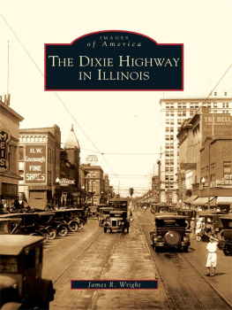
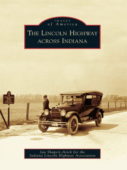
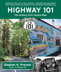
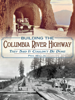
Similar books «Oregons Highway 99»
Look at similar books to Oregons Highway 99. We have selected literature similar in name and meaning in the hope of providing readers with more options to find new, interesting, not yet read works.
Discussion, reviews of the book Oregons Highway 99 and just readers' own opinions. Leave your comments, write what you think about the work, its meaning or the main characters. Specify what exactly you liked and what you didn't like, and why you think so.