IMAGES
of America
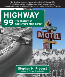
CALIFORNIAS
HIGHWAY 99
MODESTO TO BAKERSFIELD
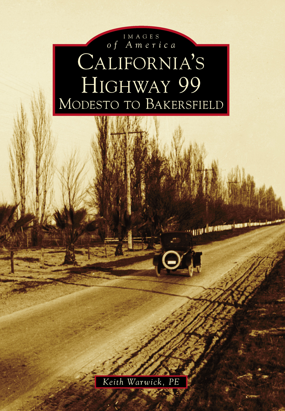
ON THE COVER: This photograph shows a single vehicle traveling on State Route 4. In the 1920s, State Route 4 (Legislative Route Number 4) was redesignated as Highway 99 (US 99), and in the 1960s, it was redesignated again as State Route 99 (CA-99). (Copyright California Department of Transportation.)
IMAGES
of America
CALIFORNIAS
HIGHWAY 99
MODESTO TO BAKERSFIELD
Keith Warwick, PE

Copyright 2014 by Keith Warwick, PE
ISBN 978-1-4671-3213-8
Ebook ISBN 9781439648117
Published by Arcadia Publishing
Charleston, South Carolina
Library of Congress Control Number: 2014931005
For all general information, please contact Arcadia Publishing:
Telephone 843-853-2070
Fax 843-853-0044
E-mail
For customer service and orders:
Toll-Free 1-888-313-2665
Visit us on the Internet at www.arcadiapublishing.com
To my lovely wife, Patty, who is about all that I am about.
CONTENTS
ACKNOWLEDGMENTS
I wish to thank the following people and organizations for providing encouragement, photographs, ideas, and technical assistance:
Bob Schmidt
The California Department of Transportation
The California State Library
The City of Hughson, California
The City of Chowchilla, California
The City of Waterford, California
The Kern County Library, Bakersfield, California
The Library of Congress
The Manteca Historical Society, California
The McHenry Museum, Modesto, California
Patty Warwick
I am also thankful to the editorial staff at Arcadia Publishing for their guidance. Unless otherwise noted, all images appear courtesy of the author.
INTRODUCTION
This book captures the spirit of Highway 99 as found both on the highway and in the cities and towns along it. In the 1920s, State Route 4 (Legislative Route Number 4) was redesignated as Highway 99 (US 99). It was redesignated again as State Route 99 (CA-99) in the 1960s.
CA-99 is a major highway through the Central Valley of California. Its northern endpoint is at CA-36 near Red Bluff, and its southern endpoint is at the intersection with Highway 5 near Wheeler Ridge. This book, however, will primarily cover the stretch of Highway 99 between Modesto and Bakersfield as it traverses Kern, Tulare, Fresno, Madera, Merced, and Stanislaus Counties.
CA-99 started as a California state highway about 1910, just after cars became popular and commonplace. It was designated Legislative Route Number 4 and linked Sacramento and Los Angeles. Around 1915, the roadway was paved, and in the 1920s, the roadway was redesignated as US 99sometimes referred to as the Golden State Highway. In the 1930s, sections of the road were widened to three lanes. Later, between the 1930s and the 1950s, the road was widened to a four-lane expressway and, in many cases, bypassed the downtown areas of the towns and cities that it connected.
The cities and towns that are along Highway 99, near Highway 99, or are considered to be part of the 99 corridor include Salida, Modesto, Shackelford, Ceres, Empire, Hughson, Denair, Turlock, Irwin, Delhi, Livingston, Atwater, Merced, Chowchilla, Fairmead, Madera, Fresno, Fowler, Selma, Monmouth, Sanger, Parlier, Reedley, Dinuba, Kingsburg, Visalia, Farmersville, Exeter, Tulare, Lindsay, Porterville, Pixley, Earlimart, Delano, McFarland, Bakerfield, Greenfield, Lamont, and Arvin. Many of these towns were already settled by the time that Highway 99 was established, but many began as simple intersections. Several of these cities, particularly Modesto, Fresno, and Bakersfield, are largely urbanized areas, while many of the smaller towns are barely discernible. These cities and towns were, and are, very different, but they have one thing in common: Highway 99.
Many say that Highway 99 is a fun highway to drive on and one on which you get to experience a slice of Americana. As a result, many businesses along Highway 99 have long aimed to be the most entertaining establishment along the way. When stopping at a diner along Highway 99, it was oftentimes the owner or his family that served you. You were in their home, in their neighborhood, and on their main street. You were in their town, and you were welcome. There were no rich or poor on the highwayjust thirsty travelers stopping along the way at places like the Giant Orange.
The focus of this book is the segment of the 99 between Modesto and Bakersfield, which runs through or by numerous cities and towns. Some of the photographs in this book are not from within the boundary of Highway 99 but contribute to an understanding of the highways charm. Highway 99 is an older highway, genuine and real, and from the 1910s to the 1970s, it was lined with numerous, unique, locally owned and operated motels, attractions, cafs, and juice stands.
There is also a socially significant aspect to the highway. Cesar Chavez and his aides traveled on it while helping Californias farmworkers improve their lives. Those who moved to California to escape the Dust Bowl of the 1930s traveled on the highway, and many of those hardworking people settled in the Bakersfield area.
Traveling on the highway today evokes nostalgia for simpler times. The highway captures the mood of teen culture in the 1950s, and there is a unique charm and character to the highway that is significant to the residents and visitors to Californias Central Valley over the past century. The roadway has never been upscale or presumptuous but is, rather, truly egalitarian. There were many filling stations along Highway 99 where customers could choose between ethyl and regular gasoline, and the attendant checked the oil and radiator and washed the windows without even being asked.
For this book, the author visited and photographed the foundation of the last Giant Orange juice stand on this stretch of 99, and the highway can be seen in the background of the images. Between 2000 and 2010, the sites orange structure was collected by the City of Chowchilla so that it could be established as an exhibit for the citys museum. The foundation, railroad tracks, and the town of Fairmead (near Chowchilla) are all visible in the images of the Giant Orange stand. They help to establish the unassuming location of this historic establishment.
When our brother Bob Dylan sang The Times They Are a-Changin, he was commenting on the social climate of the time. But his words could also apply to Highway 99, which was changing too. The author hopes that this book reminds you of the highway before its times changed.
One
BACKGROUND
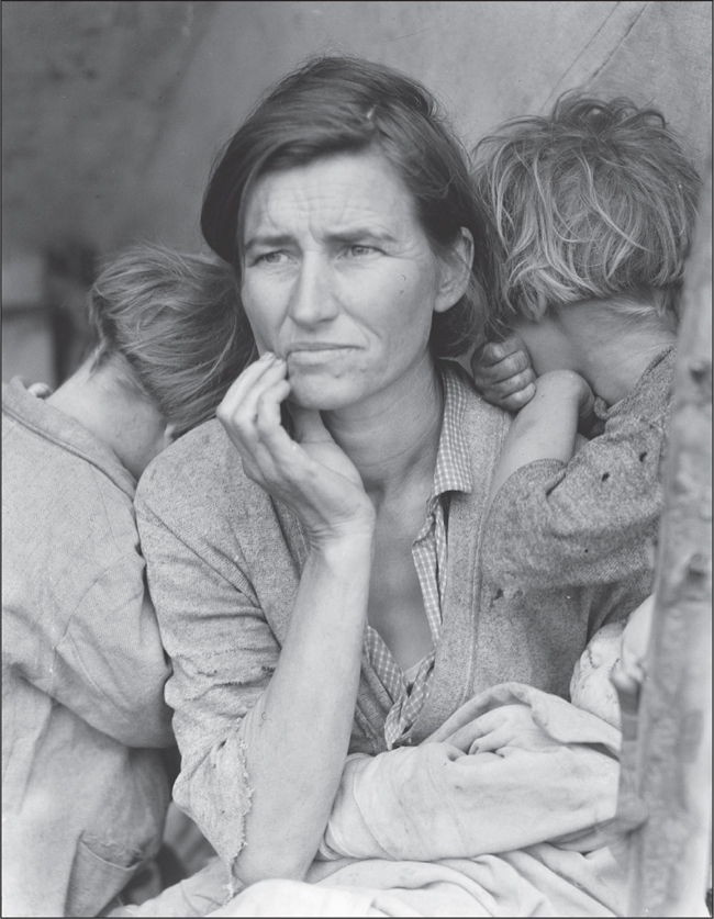
This famous Dorothea Lange photographshowing a Depression-era woman and her hungry childrenoutlines the pain, suffering, hunger, and poverty of the era. This family was struggling because of a failed pea crop. At that time, there were more people needing employment than there were jobs available. (Courtesy of the Library of Congress.)
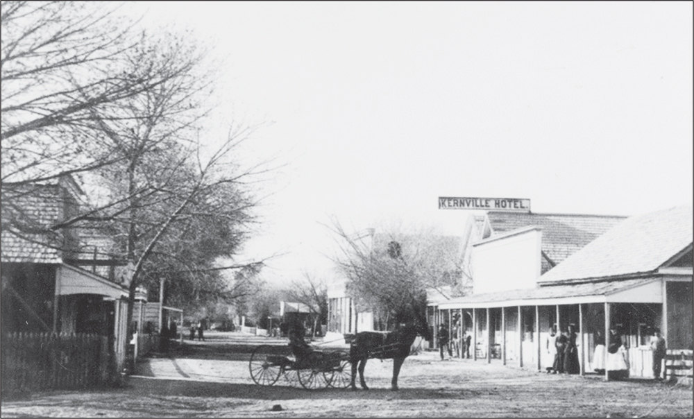
Horses and wagons are present on a Kernville street in this photograph. The Kernville Hotel can be seen on the right side of the street. Kernville is located northeast of Bakersfield, in Kern County, on the banks of the Kern Riverwhich was named for topographer Edward Kern. The town was formed during a gold rush. (Courtesy of the Kern County Library.)
Next page


