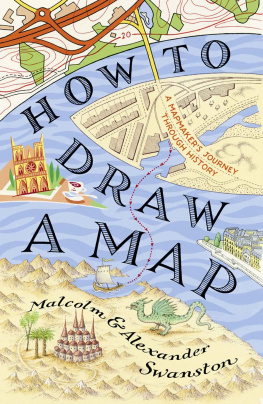
Swanston Alexander - How to Draw a Map
Here you can read online Swanston Alexander - How to Draw a Map full text of the book (entire story) in english for free. Download pdf and epub, get meaning, cover and reviews about this ebook. City: London, year: 2019, publisher: HarperCollins Publishers, genre: Religion. Description of the work, (preface) as well as reviews are available. Best literature library LitArk.com created for fans of good reading and offers a wide selection of genres:
Romance novel
Science fiction
Adventure
Detective
Science
History
Home and family
Prose
Art
Politics
Computer
Non-fiction
Religion
Business
Children
Humor
Choose a favorite category and find really read worthwhile books. Enjoy immersion in the world of imagination, feel the emotions of the characters or learn something new for yourself, make an fascinating discovery.

- Book:How to Draw a Map
- Author:
- Publisher:HarperCollins Publishers
- Genre:
- Year:2019
- City:London
- Rating:5 / 5
- Favourites:Add to favourites
- Your mark:
How to Draw a Map: summary, description and annotation
We offer to read an annotation, description, summary or preface (depends on what the author of the book "How to Draw a Map" wrote himself). If you haven't found the necessary information about the book — write in the comments, we will try to find it.
Swanston Alexander: author's other books
Who wrote How to Draw a Map? Find out the surname, the name of the author of the book and a list of all author's works by series.


How to Draw a Map — read online for free the complete book (whole text) full work
Below is the text of the book, divided by pages. System saving the place of the last page read, allows you to conveniently read the book "How to Draw a Map" online for free, without having to search again every time where you left off. Put a bookmark, and you can go to the page where you finished reading at any time.
Font size:
Interval:
Bookmark:
Contents

HarperCollinsPublishers
1 London Bridge Street
London SE1 9GF
www.harpercollins.co.uk
First published by HarperCollinsPublishers 2019
FIRST EDITION
Malcolm Swanston and Alexander Swanston 2019
Cover design by Claire Ward HarperCollinsPublishers Ltd 2019
Cover illustration Neil Gower
A catalogue record of this book is available from the British Library
Malcolm Swanston and Alexander Swanston assert the moral right to be identified as the authors of this work
All rights reserved under International and Pan-American Copyright Conventions. By payment of the required fees, you have been granted the nonexclusive, non-transferable right to access and read the text of this e-book on screen. No part of this text may be reproduced, transmitted, downloaded, decompiled, reverse engineered, or stored in or introduced into any information storage retrieval system, in any form or by any means, whether electronic or mechanical, now known or hereinafter invented, without the express written permission of HarperCollins e-books.
Find out about HarperCollins and the environment at www.harpercollins.co.uk/green
Source ISBN: 9780008275792
Ebook Edition September 2019 ISBN: 9780008275815
Version 2019-10-01
To my wife Heather.
And to Nina, Alexander and Amy.
CONTENTS
In one way or another, we are all mapmakers at heart. I am sure we have an inbuilt urge to understand the world around us and beyond; how do we, or at least our part of the world, fit into the great scheme of things?
Ever since I can remember, I have been completely absorbed in atlases and maps of all kinds. As a child, I received one particular book that enthralled me for years: The History of Our Earth, in which talented artists re-created scenes across double-page spreads of landscapes featuring early dinosaurs, exotic creatures of the desert, human migrations and early civilisations; its well-worn pages are still with me. The moment I first open an atlas, whether it is political, physical, topographical or an historical atlas of any kind on any subject, huge periods of time seem to fly by unaccountably. This affliction has lasted the whole of my lifetime and I appear to have passed it on to one of my children, who is engaged in the production of maps, including the ones used in this book.
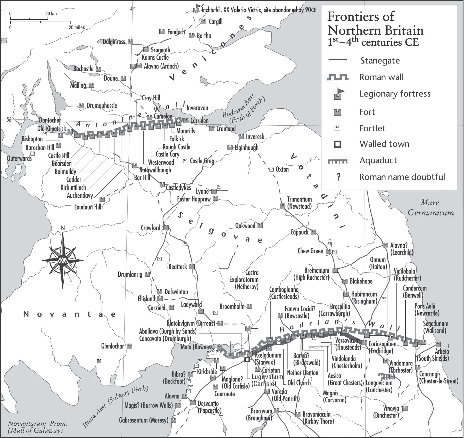
My first cartographic undertaking (although I didnt realise it at the time) was not far from my childhood home, at a milecastle. As the name suggests, these were fortified posts built every Roman mile along Hadrians Wall. Interspersed between major forts, these milecastles and smaller turrets contained about 50 men to keep watch, usually out to the north. I would set about measuring the visible remains of my castle and working out how its garrison fitted within its walls. My measuring system was a length of rope cunningly adapted to its new use by having a knot tied every yard, and thus I was able to create a five-yard system. Well equipped with a quarter-inch grid in my school notebook, two pencils and a pencil sharpener, and lavishly provisioned with cheese and pickle sandwiches and a bottle of Coke, I set off. I should say we set off, as I had recruited my next-door neighbour and school friend Rob to help (facing the unknown alone was too daunting) a latter-day Mason and Dixon (see ).
We measured the milecastle at Gilsland, which, in the 1950s, was in the county of Cumberland but is now part of Cumbria; it is still in my memory six decades later. The milecastle is known to modern archaeology as Milecastle 49 at Harrows Scar. It proved to be 19.8 metres (approximately 30 yards) east to west and 22.9 metres (approximately 32 yards) north to south. It is now in the care of English Heritage. Its monument number, if you are interested in such things, is 13987.
Since the River Irthing was not too far away and stocked with trout prepared to present themselves for capture and the frying pan, this was our next port of call and, I suspect, Robs real reason for coming along. We succeeded; we came away with the fish and having recorded the edge of the Roman Empire.
My career since then has been almost completely focused on thematic maps those which display a particular theme, topic or subject of discourse, rather than road maps, with which we are all familiar. Over the course of my life, I have accrued over 50 years of map creation and during these decades cartography has seen the most profound changes, the greatest of which has been technology: the move from physical craftsmanship to the use of computers. Trading the pen, scalpel and scribing tool for software and the mouse marked a significant evolution in the craft of mapmaking.
It seems like a lifetime ago that I received my first fee-paying commission while working for Rolls-Royce Limited. In those far-off days, we cranked up an ancient machine that rejoiced in the name of the Illustromat. It was originally intended as an aid to technical illustration, used to convert a 2D plan into a 3D angled-view isometric illustration. We had discovered that, from a conventional 2D map, we could create a 3D angled view of any chosen part of the earths surface.
I was required to create a map of the empire of Alexander the Great, to be featured in a new publication on the famous empire-builder. We taped three maps covering the area of Alexanders empire carefully together and placed them on the flat bed of the Illustromat. The operator switched on the machine, we selected the angle of the view required, lights flashed and the operator began to trace the coastlines, rivers and details of the area of the empire. As he manipulated the complex settings, veins stood out on his forehead. He began to sweat profusely and I fled the room to return with hot, sweet tea after the initial drawing was completed. Over this drawing were placed several translucent overlays, and on each overlay a different layer of information was created coastlines, rivers, lakes, type, arrows and symbols. Slowly, a total image of the map was formed. In this particular case, an airbrush base was created showing the land form, mountains, rolling hills and sweeping deserts.
Map 1. My first cartographic adventure was to measure a turret on Hadrians Wall, a tiny piece of this huge structure. I didnt know it then, but I would revisit this subject many times.
Not long after my first commission, a huge, life-changing project arrived a request to produce The Times Atlas of World History, as its first edition was then known. Part of the delivery from the customer was a set of maps produced by a cartographer called Erwin Raisz. Raisz, born and raised in the Austro-Hungarian Empire, was a civil engineer and architect, who entered the world of cartography after migrating to the United States. Having studied cartography, he went to work for Harvard University, where he was curator of maps for 20 years, during which time he created a significant body of work using a hand-drawn pen-and-ink technique. These maps had a particularly distinctive look he called them physio-graphic maps and, because they were hand-drawn, the style was unique to him; a style I found enthralling and inspiring. I also found his tendency to look at a region or country from any direction (by which I mean not always putting north at the top) utterly liberating. He had somehow systematically recreated an updated version of the medieval cartographers or illustrators attempts to portray the surface of the planet, sharing their willingness to look at the globe from unconventional directions. Over the last 50 years I have employed some of that methodology to create solutions when explaining thematic historical events.
Font size:
Interval:
Bookmark:
Similar books «How to Draw a Map»
Look at similar books to How to Draw a Map. We have selected literature similar in name and meaning in the hope of providing readers with more options to find new, interesting, not yet read works.
Discussion, reviews of the book How to Draw a Map and just readers' own opinions. Leave your comments, write what you think about the work, its meaning or the main characters. Specify what exactly you liked and what you didn't like, and why you think so.