IMAGES
of Rail
CLEVELAND
MAINLINE RAILROADS

The first Cleveland Union Depot was built in 1854 at the foot of a hill where Bank (West Sixth) and Water (West Ninth) Streets met by the Lake Erie shore. It cost $75,000 to build and consisted of several wooden sheds. Its location enabled passengers to make easy transfers between trains and boats. Shown is the depot in an 1854 image that was originally a woodcut print. (Cleveland State University Library Special Collections.)
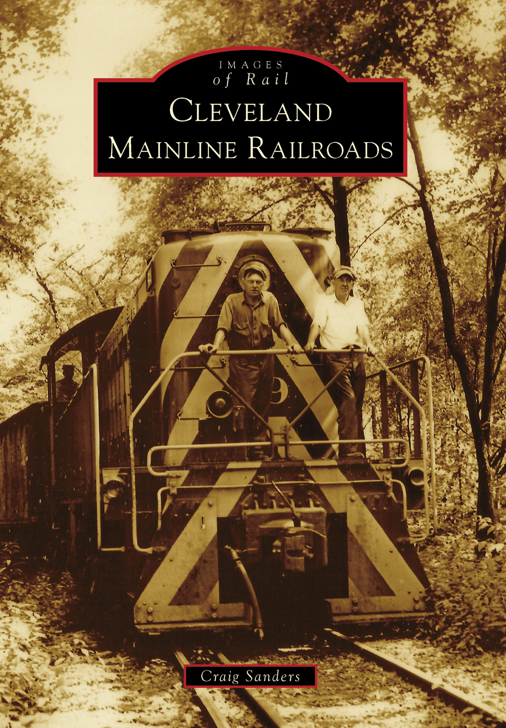
ON THE COVER : The Euclid Railroad was incorporated in 1883 to build a spur from the New York, Chicago & St. Louis Railroad (NYC&St.L) to stone quarries west of Green Road in Euclid Township. The line, built between 1883 and 1884, was nearly a mile and a half. Motive power was furnished by the NYC&St.L. Two crew members ride the front of a locomotive on the spur on August 30, 1950. (Cleveland State University Library Special Collections.)
IMAGES
of Rail
CLEVELAND
MAINLINE RAILROADS
Craig Sanders

Copyright 2014 by Craig Sanders
ISBN 978-1-4671-1137-9
Ebook ISBN 9781439644881
Published by Arcadia Publishing
Charleston, South Carolina
Library of Congress Control Number: 2013944812
For all general information, please contact Arcadia Publishing:
Telephone 843-853-2070
Fax 843-853-0044
E-mail
For customer service and orders:
Toll-Free 1-888-313-2665
Visit us on the Internet at www.arcadiapublishing.com

One of Clevelands best-known landmarks is Cleveland Union Terminal (CUT), located on Public Square. Excavation began in 1924, and the station opened to rail traffic on October 23, 1929. The 708-foot Terminal Tower was the tallest building in the world outside of New York City until 1967. It is shown under construction on August 2, 1927. The CUT complex also included a hotel, department store, and post office. (Cleveland State University Library Special Collections.)
CONTENTS
ACKNOWLEDGMENTS
Cleveland Mainline Railroads is a look at the intercity railroads that served Cleveland during the first half of the 20th century. Although some images in this book were made before 1900, the majority of the photographs were recorded between the turn of the 20th century and the late 1960s. This time period represents the golden era of railroading in America when train travel was a far larger part of everyday life for many, and much of the nations freight moved by rail, even if trucks were needed to take it to or from most final destinations.
By design, this book does not cover the industrial and short-line railroads that operated within Cleveland during the time period covered. Those railroads served Clevelands robust industrial base and worked hand in hand with the mainline railroads in switching and interchanging freight. The industrial railroads are deserving of a history of their own.
Most of the images in this book are from the Bruce Young Collection of the Michael Schwartz Librarys Special Collections at Cleveland State University. I never met Mr. Young, a retired teacher who died in 2003 and willed his considerable collection of railroad photographs and literature to the university. We are all richer for his generosity.
Other images came from the Cleveland Press, Cleveland Union Terminal, and Herbert Harwood Collections. Mr. Harwood graciously allowed me to use several of his images.
Robert Farkas readily agreed to provide photographs that he took in the late 1960s, which filled a gap in my coverage of the early years of the Penn Central Railroad.
I wish to thank for their assistance William Barrow, the special collections librarian; Lynn Duchez Bycko, special collections associate; and Mary Margaret Schley, my editor at Arcadia Publishing.
Finally, this book would not have been possible without the assistance and support of my wife, Mary Ann Whitley, who copyedited the manuscript and provided encouragement throughout this project. The responsibility for any errors or omissions lies solely with the author.
INTRODUCTION
Take out a map of the eastern United States and draw a line between Chicago and New York. About halfway between Americas two historically largest business and population centers lies Cleveland.
Clevelands location within the ChicagoNew York transportation corridor proved beneficial for the development of railroads, highways, and air-travel routes, prompting civic leaders to proclaim Cleveland one of the best-served places in the nation. Transportation helped make Cleveland one of the top four centers of industry and commercethe others being Chicago, Detroit, and Milwaukeein the former Northwest Territory. Railroads played an essential role in enabling Cleveland to become Ohios largest urban area and one of Americas most influential cities.
The city is named for Gen. Moses Cleaveland, one of seven directors of the Connecticut Land Company and head of a survey party that, on July 22, 1796, laid out a village on the east bank of the Cuyahoga River on a bluff overlooking Lake Erie. Cleaveland envisioned the site as the capital of the Western Reserve of Connecticut. He returned to Connecticut in October 1796 and never again visited his namesake city. The village of Cleaveland was incorporated on December 23, 1814.
How the letter a came to be dropped from Cleaveland and by whom has never been definitively determined. By one account, the phrase City of Cleveland without the letter a appeared on a field survey map drawn in 1796. Another account has it that a newspaper dropped the a in order to fit the citys name into its nameplate after receiving a shipment of paper that was smaller than what the publisher had been using. Versions of that account differ as to whether it was the Cleaveland Advertiser or the Cleaveland Herald.
Historian James Harrison Kennedy suggested in A History of the City of Cleveland that the letter a in the type used by the Herald to form Cleaveland became damaged and was removed because replacement type was not available. For unexplained reasons, the a was never replaced in the city name in the masthead. This occurred between April 12 and June 8, 1833, and the paper size of the publication had not changed during that period.
Jon C. Teaford, author of Cities of the Heartland, observed that early-19th-century heartland residents knew that if they wanted to prosper and engage in global trade, they needed transportation links with Atlantic and Gulf of Mexico ports. Therefore, the largest heartland cities in the early 19th century were located on the Ohio and Mississippi Rivers. Cincinnati was Ohios undisputed top urban center, while Cleveland was a sleepy backwater of a mere 50 homes.
The 1825 opening of the Erie Canal in New York State meant that cities along the Great Lakes could compete with those on the Ohio and Mississippi Rivers to become commerce conduits to the Mid-Atlantic seaboard. The Erie Canal provided an all-water route between Lake Erie and the Hudson River via Buffalo and Albany, New York. Lake Erie cities were closer to Mid-Atlantic cities and ports than were the cities located along the Ohio River. This proximity gave the lake cities an advantage during the railroad-development era.
Next page

