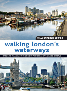
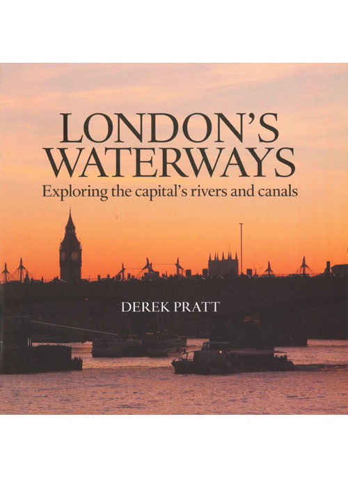
LONDONS WATERWAYS
Exploring the capitals rivers and canals
Contents
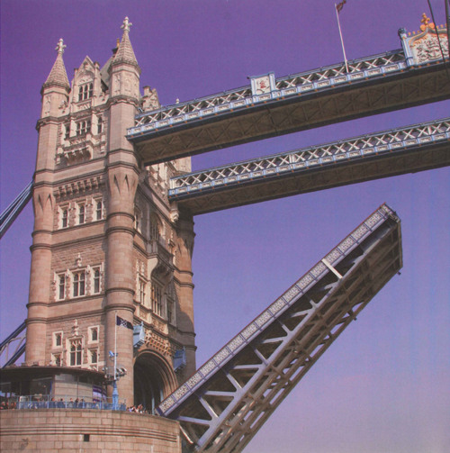
One of the two bascules that lift to allow a large boat to pass underneath Tower Bridge. Most of todays boating traffic is small enough to pass under the bridge without it being raised.
Londons Thames
L ondon owes its very existence to the Thames. The rivers history goes back to Neolithic times when there is evidence of human occupation on its banks. In those days the winding Thames would have been flanked by marshes watered by tides and tributary rivers. In later years the Romans sailed up the river and established a settlement they called Londinium. The first London Bridge was built by the Romans around AD 50. This wooden bridge and its successors either collapsed, were washed away or burnt down. The first stone London Bridge was built in 1204 and lasted for 600 years. It was the only crossing point for over 500 years until another bridge was built at Westminster.
For centuries the river was Londons only highway for trade and people. Kings and queens passed along the river in their royal barges between watermen ferrying people across. By the end of the 18th century, it is estimated that 40,000 watermen worked on the tidal river, but as new bridges were built during the 19th century, their numbers declined.
By this time most of the tidal river between Brentford and Gravesend was lined with wharves busy loading and unloading ships from all over the world. All this congestion on the river bank led to the building of the first London Docks. The first dock was opened in 1802 on the Isle of Dogs, quickly followed by others at Wapping, Blackwall and then the Surrey Docks south of the river at Rotherhithe. By 1886 there were seven separate enclosed dock systems within the Port of London. In 1930, London docks employed 100,000 people but within 50 years they had all closed through labour disputes and deep water containerisation moving to Tilbury. There is still some commercial traffic left on the river today but this is mainly confined to rubbish containers going to landfill sites in Essex. Most of todays boating is for pleasure, with large passenger trip boats passing up and down the river between Hampton Court and Greenwich.
Londons Canals
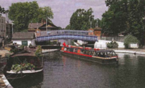
Britains first navigable canal was built in Manchester in 1761. Before then there was no efficient method of transport to move bulk raw materials and manufactured goods to and from factories and foundries created during the Industrial Revolution. By 1790, most of the industrial areas of the North and Midlands were connected to rivers that in turn led to ports such as Liverpool, Hull and Bristol. Boats carrying produce from the Midlands to London had to undertake an arduous journey by the narrow locked Oxford Canal to Oxford, followed by a long haul along the winding River Thames to the capital. A quicker and more direct route was needed and this was provided by the construction of the Grand Junction Canal, which eventually reached the Thames at Brentford in 1800. This chopped 60 miles off the previous journey and the broader locks made it possible to accommodate wide barges or for two full length narrow boats to share a lock. The building of the Paddington Arm was followed by the Regents Canal which, in 1820, created an alternative route to Londons Docks. The canal to Paddington followed a level lock-free course in an arc across what are now the north-west London suburbs. As industry sprouted on its banks its workforce needed houses to live in. Villages expanded into towns that later merged to form part of Greater London. The terminus at Paddington became a thriving inland port less than a mile from Marble Arch. The nine-mile-long Regents Canal begins at Little Venice at Paddington and passes through Regents Park and Camden on its way to Limehouse where it meets the Thames. Regents Canal Dock (now Limehouse Marina) was an integral part of the Docklands, handling a wide diversity of cargoes up to the late 1960s. There were canals south of the Thames but these have all been filled in and have almost completely disappeared.
River Lee
This river has a split personality. The natural river is spelled Lea but the navigation is called Lee. The navigation runs from Hertford to the Thames and is joined by the River Stort Navigation near Hoddesdon. It is one of Britains oldest navigations and there is evidence that Danish Vikings rowed up the river to plunder Hertford. In 1425, an Act of Parliament was passed to improve its navigable status and in 1577, one of the countrys earliest pound locks was built at Waltham Abbey. The present navigation was built around 1770 and became busy carrying such commodities as grain, timber, gunpowder, coal, malt and barley. Commercial activity has now ceased but the rivers position passing through urban east London has made it an important recreational asset which led to the creation of the Lee Valley Regional Park.
Londons Other Waterways
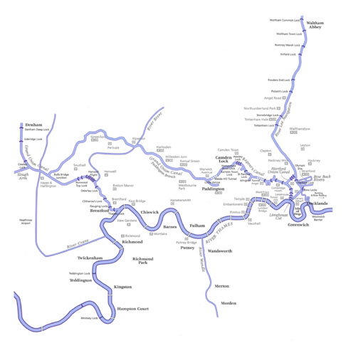
The Thames in London is fed by numerous tributaries. Of these, the Lee is the largest river but other visible waterways include the Brent in west London, the Wandle in south-west London and the Roding in east London. All these rivers (including smaller ones such as the River Crane, Yeading Brook and Beverley Brook) can be followed by footpaths. Several rivers have disappeared underground and have an important role flushing out Londons sewage system. Of these the Fleet, Westbourne, Tyburn, Neckinger and Effra are among rivers that were once visible but only had limited navigation. Occasionally these hidden rivers show themselves on the surface often in surprising places. At other times, their subterranean presence is hinted at by names of streets or even stations.
The aim of this book is not only to show readers the obvious waterside attractions known to visitors from all over the world but to spotlight the often unknown corners that may be surprising even to residents of the capital city.
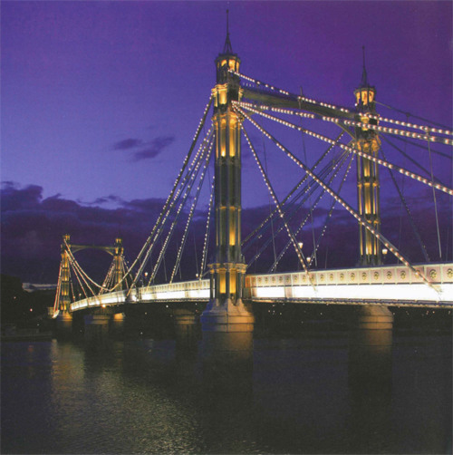
Albert Bridge illuminates the Thames with around 4,000 light bulbs.
T ravelling on foot or by water, the Thames is accessible to everyone. This was not always the case, as up to the mid-20th century much of the river bank was lined by working wharves, warehouses and docks. In particular, most of the south bank between Wandsworth and Woolwich was largely inaccessible to the public. The north side had its embankments built by Bazalgette in the 19th century and there were views of the river from the bridges.
Next page
