One
ALEXANDRIA TO CONCORD
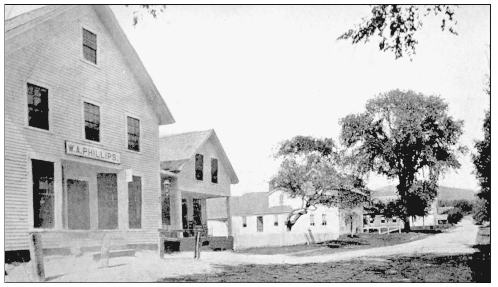
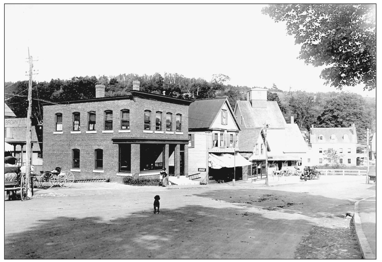
Seen here is Main Street in Alexandria in the late 1800s. The simplicity of the business district reflects the rural lifestyle of the mid-19th century. Like other towns in this section of the state, Alexandria was a part of the Masonian grant of New Chester. The acres of valuable land in the intervale of the Fowler River attracted settlers as early as 1769, although the town was not incorporated until 1782.
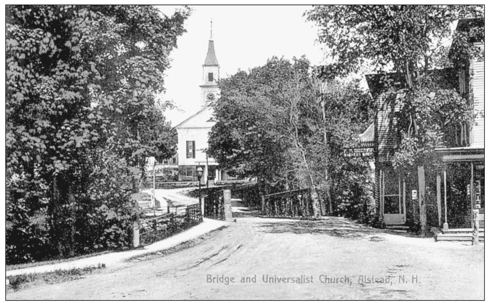
This 1910 view shows Main Street and the bridge in Alstead. Looking across the bridge to the Universalist church on the hill, we see the small village divided by Cold River. Alstead was granted a charter in 1772. Alstead is one of the towns that wavered its allegiance between New Hampshire and Vermont. In April 1781, the town began to transact business under the state of Vermont, but it returned to the authority of New Hampshire in January 1782.
This view of Main Street in Alton, looking south, dates from the late 1800s. At this time, Main Street was a one-street settlement through which flowed the Merry-Meeting River, the chief inlet of Lake Winnipesaukee. Alton, once called New Durham Gore, was settled in 1770. When it was incorporated in 1796, the citizens requested that it be called Roxbury, but Governor Wentworth gave it the name of an English town. Today, Alton is largely a summer resort.
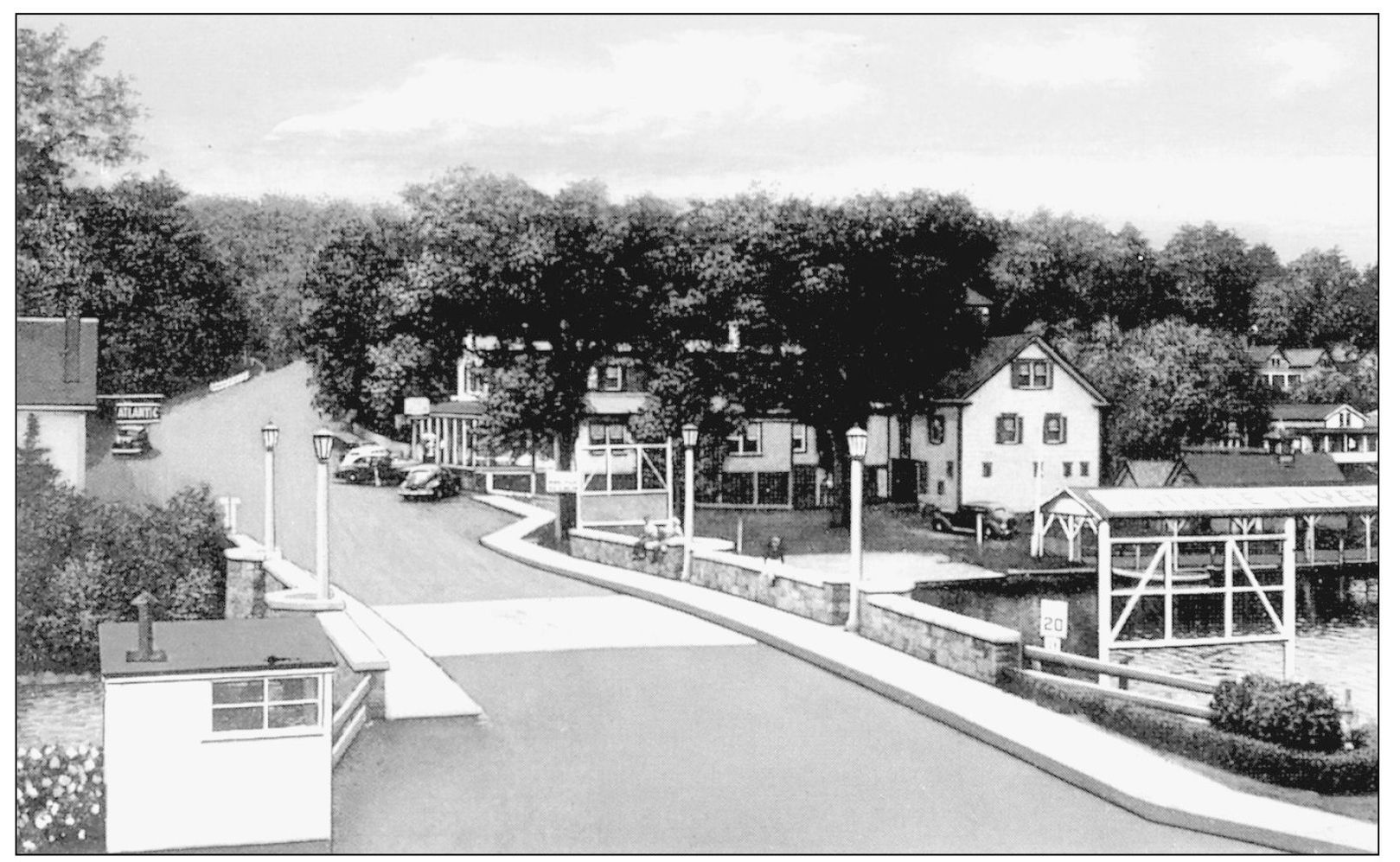
This is a c. 1940s view of Main Street in Alton Bay looking west. Alton Bay is largely a summer resort and a port for the M/V Mount Washington . This part of the lake was once known as Merry-Meeting Bay.
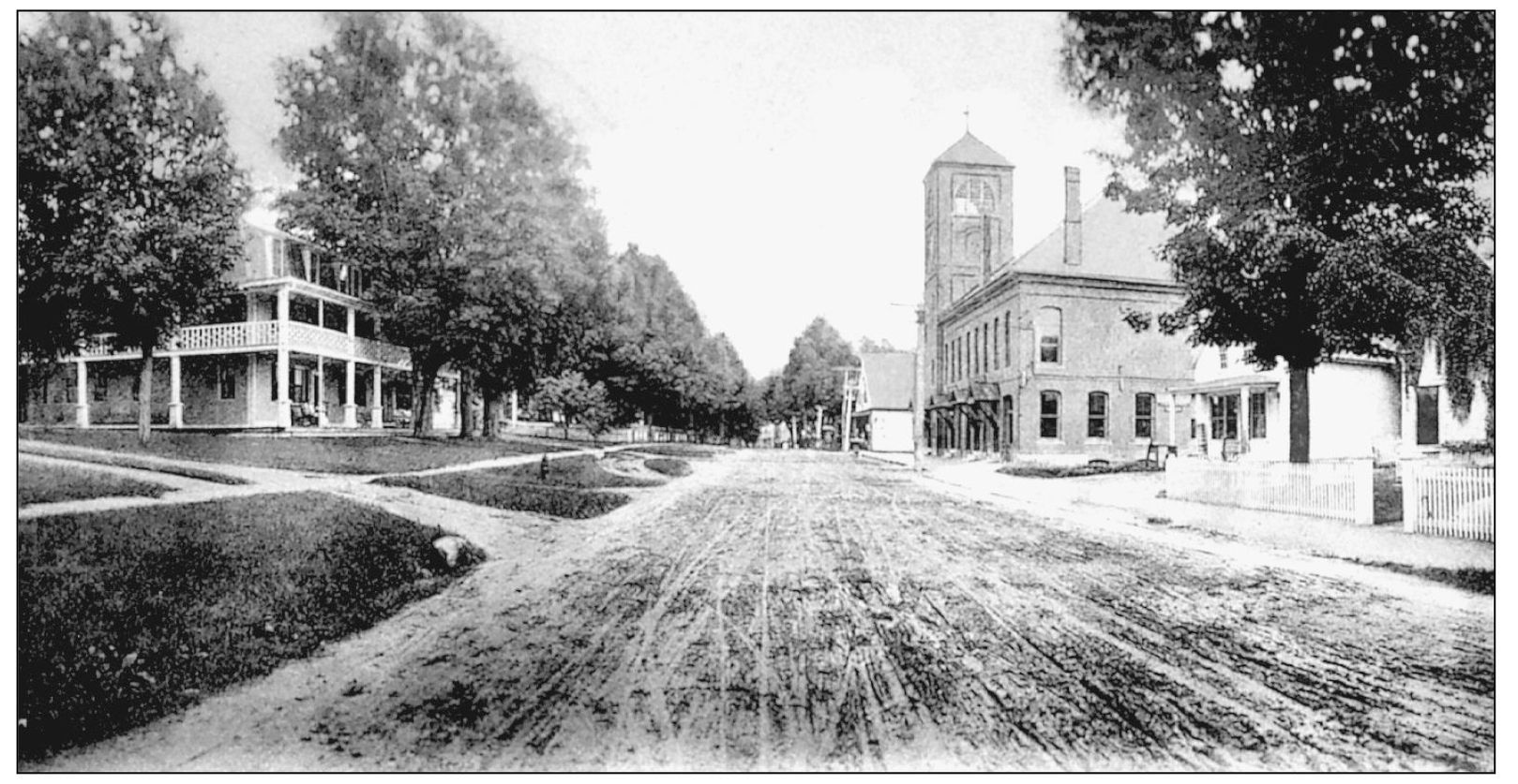
The stately trees and white houses framing the major street that passes through the center of Amherst are seen in this 1907 photograph. Amherst was first settled in 1733 under the names of Narragansett No. 3 and Souhegan West. In 1760, it was incorporated and given the name Amherst after Lord Jeffrey Amherst. Situated on the Boston Post Road, this main street was an important coaching center, and many of the present houses were taverns. In the center of the village stands a square brick building that housed the general store and post office.
Seen here are the main street and business district in Antrim in 1905. Antrim lies on a hillside, sloping toward the Contoocook River. Sand was once taken from the river and brought to nearby Stoddard to be used in the making of the famous Stoddard glass. Although the name Antrim was taken from a town in the north of Ireland, the first settler was a Scotsman who came to the area in 1741. A few years later, other settlers arrived, bringing with them their stern Presbyterian faith. Antrim was incorporated in 1777.
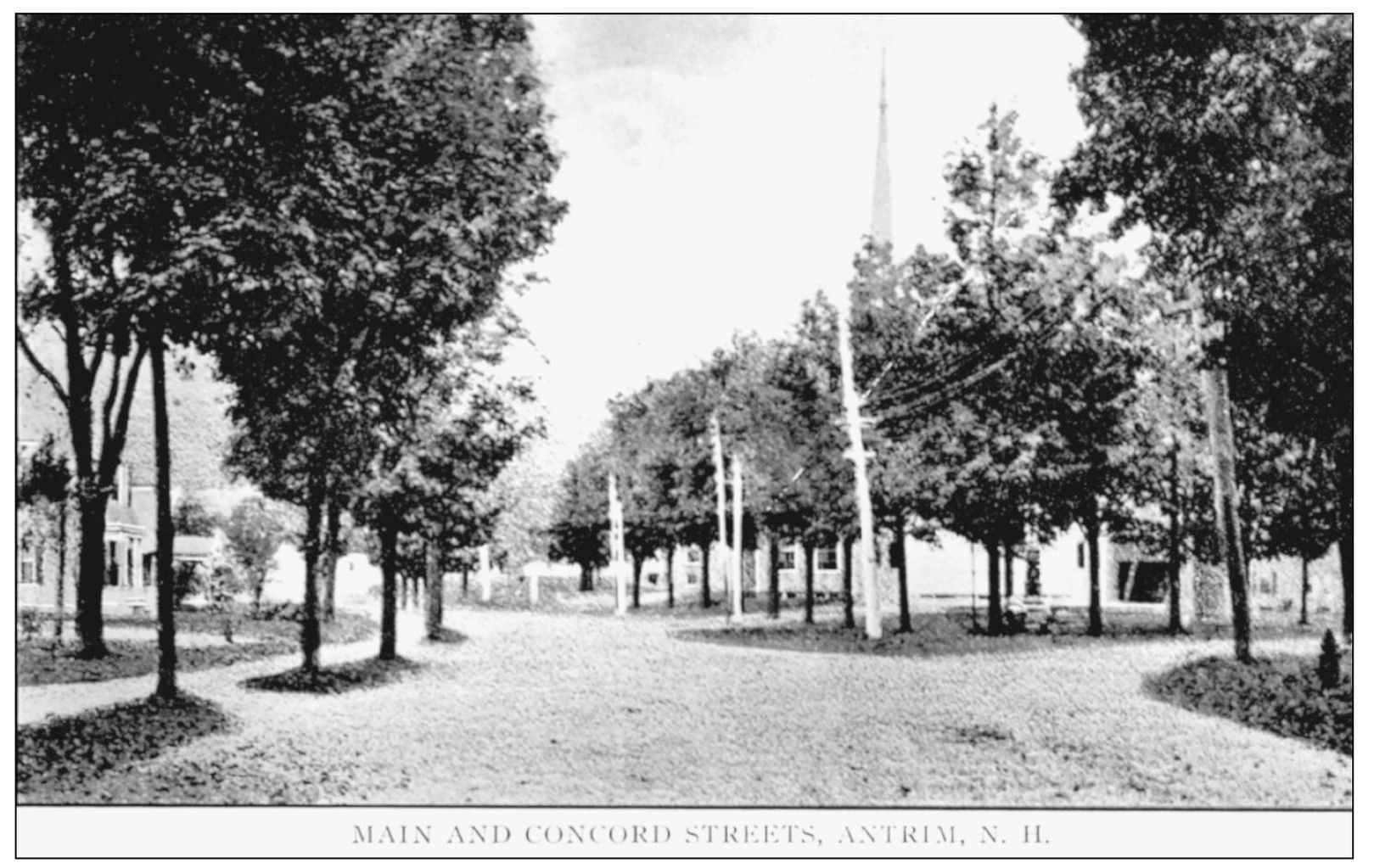
This view of Main and Concord Streets in Antrim dates from the 1900s. Neat churches and well-kept homes add to the attractiveness of this quiet little town.
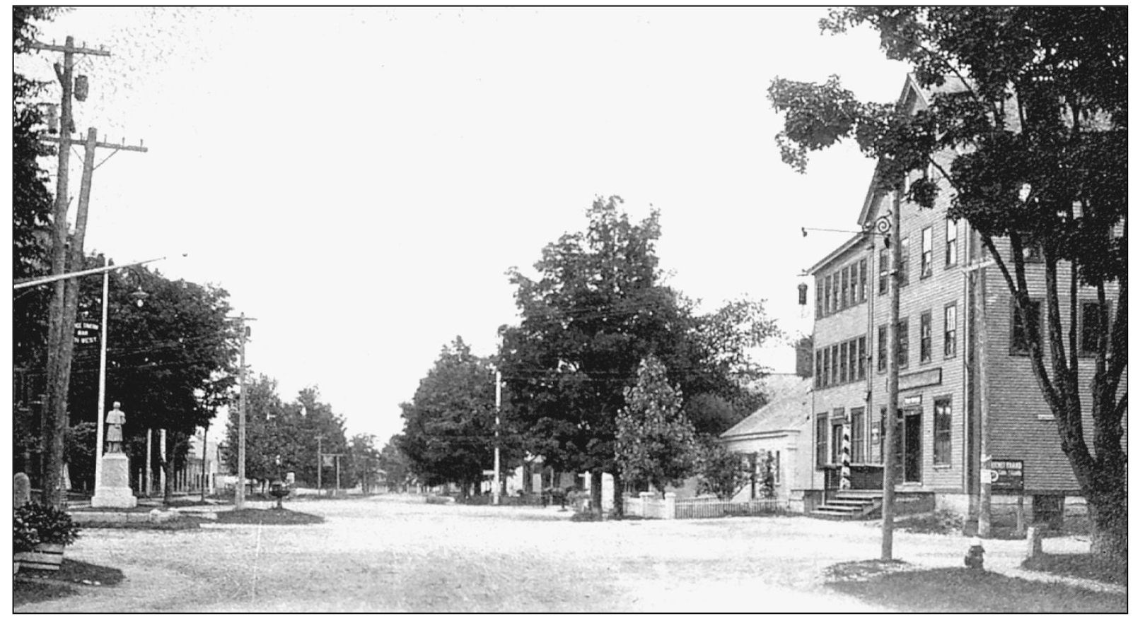
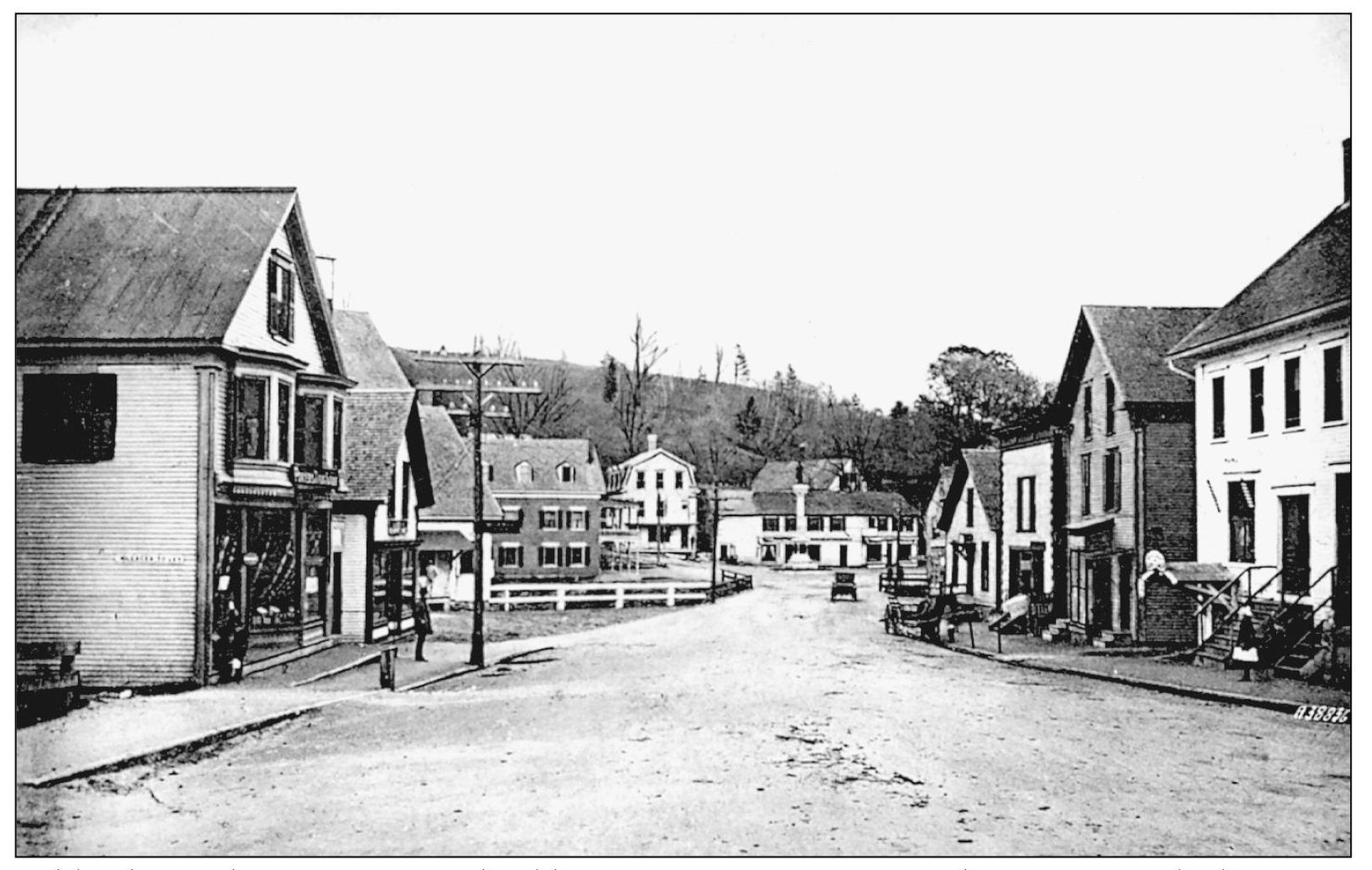
Ashlands South Main Street and Soldiers Monument are seen in this 1900s view looking east. The business manufacturing interests of Ashland were mostly centered in this section. Ashland is a fine example of a thriving New England community.
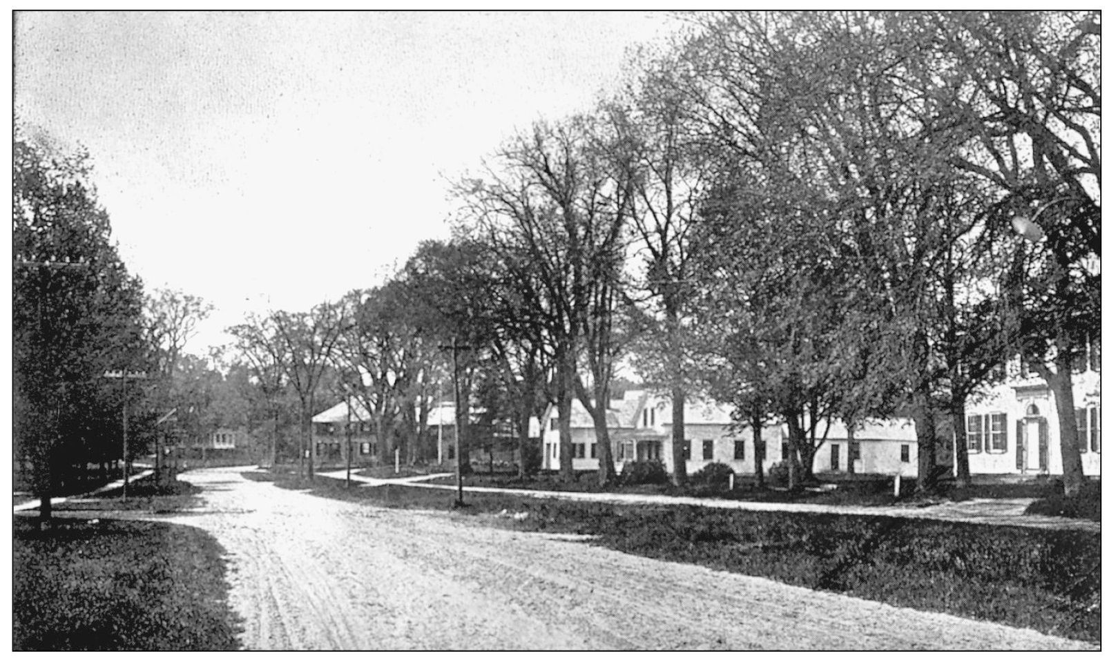
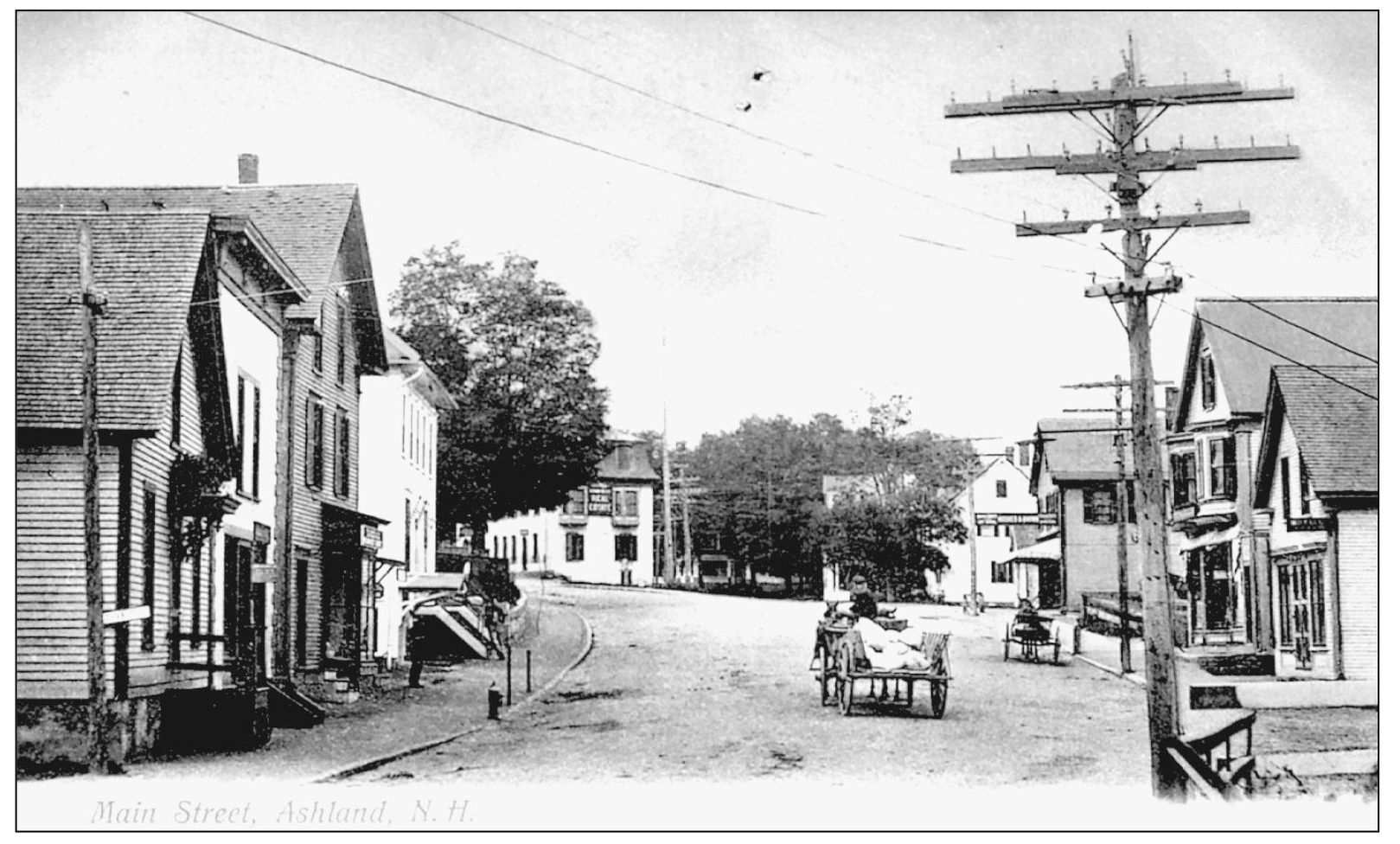
This view of Main Street in Ashland looks northwest in the late 1800s. Directly ahead is Highland Street with its elegant shade trees and residential homes.
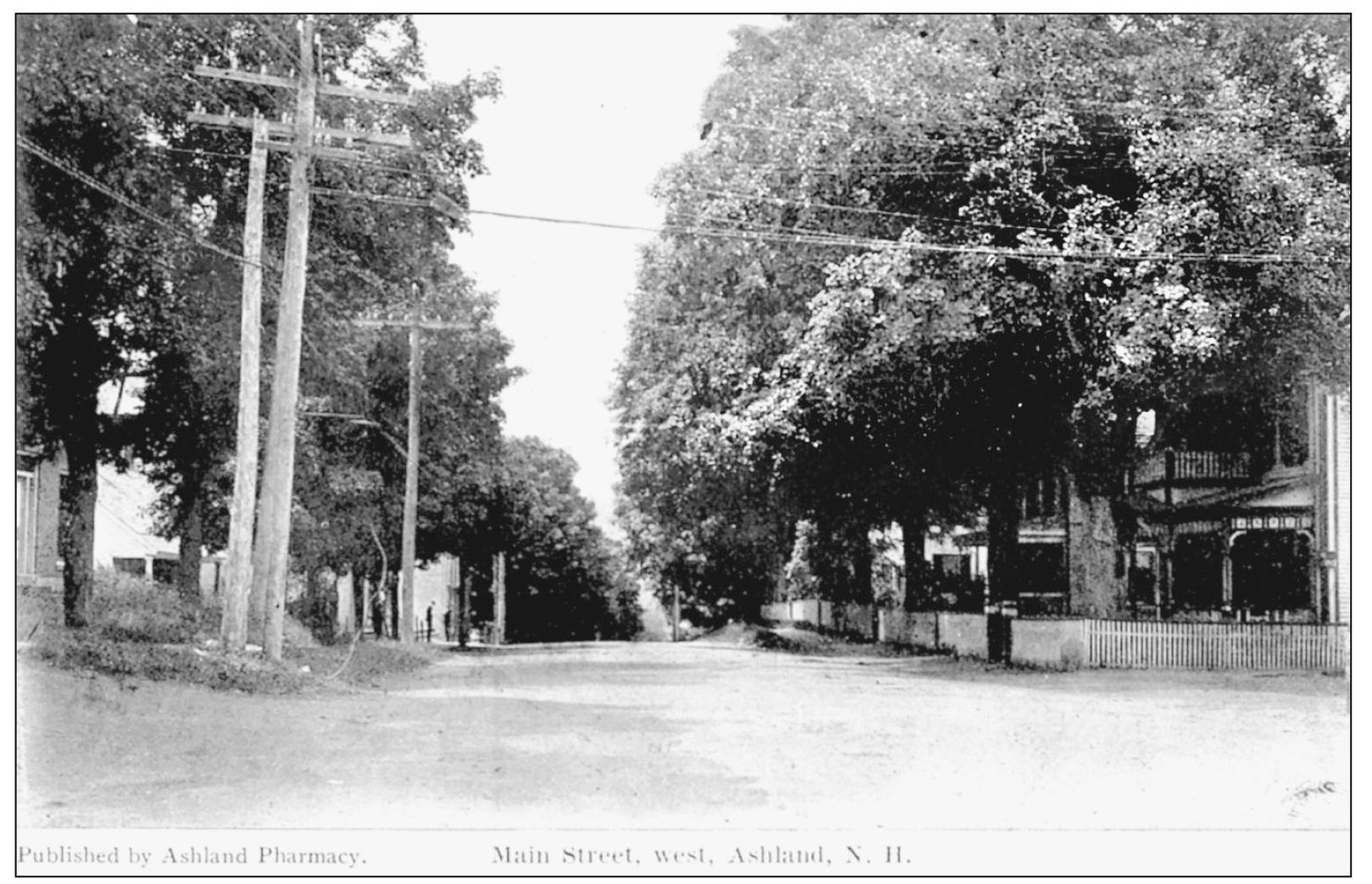
This early-1900s view of Main Street looks west toward the residential section of Ashland. Outside the business district, gracious shade trees frame the thoroughfare to the neighboring town of Plymouth.
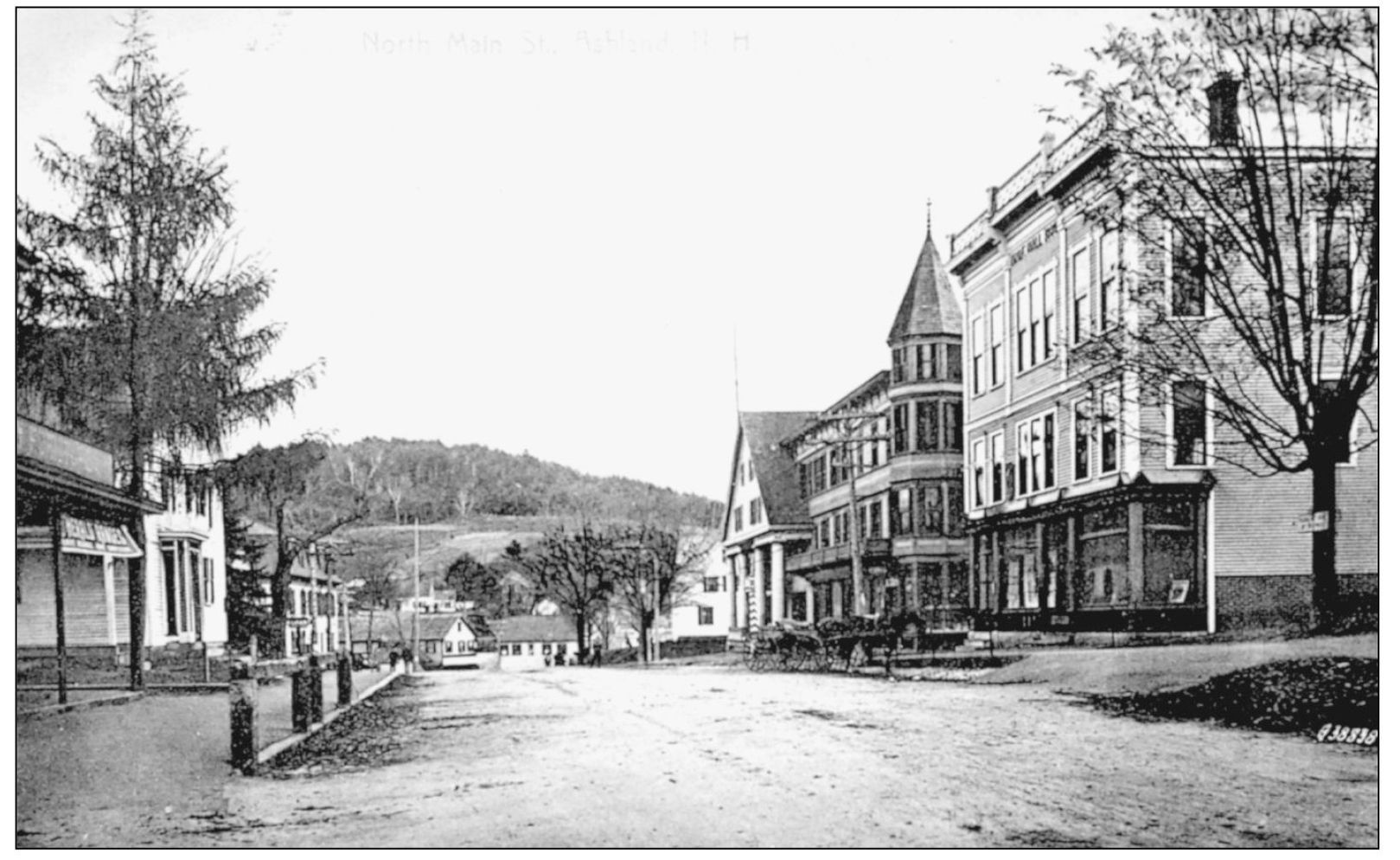
Seen is North Main Street in Ashland in this c. 1900 view looking southeast. Farm pastures on the hillside could be seen from the business district of Main Street. In the early days of settlement, Ashland was a part of Holderness; it was incorporated independently in 1868.
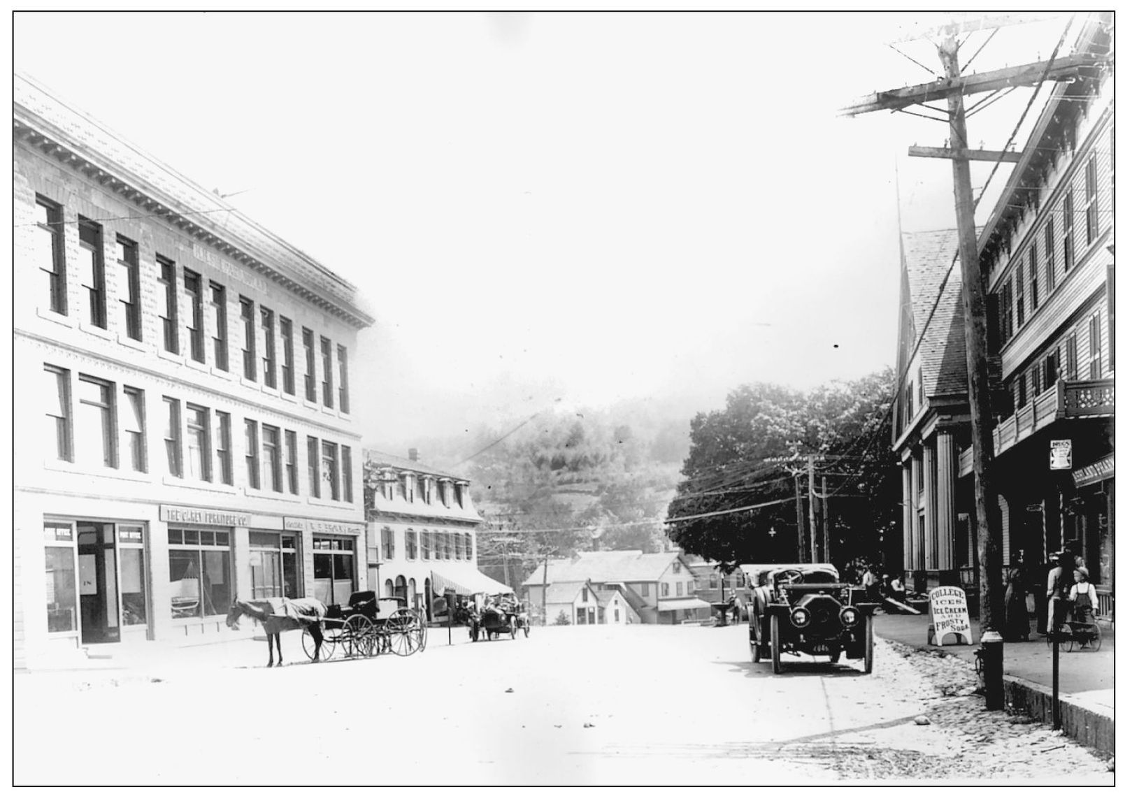
Ashlands Main Street is alive and well with the old and new modes of transportation. This view looks southeast to Monument Square c. 1900.
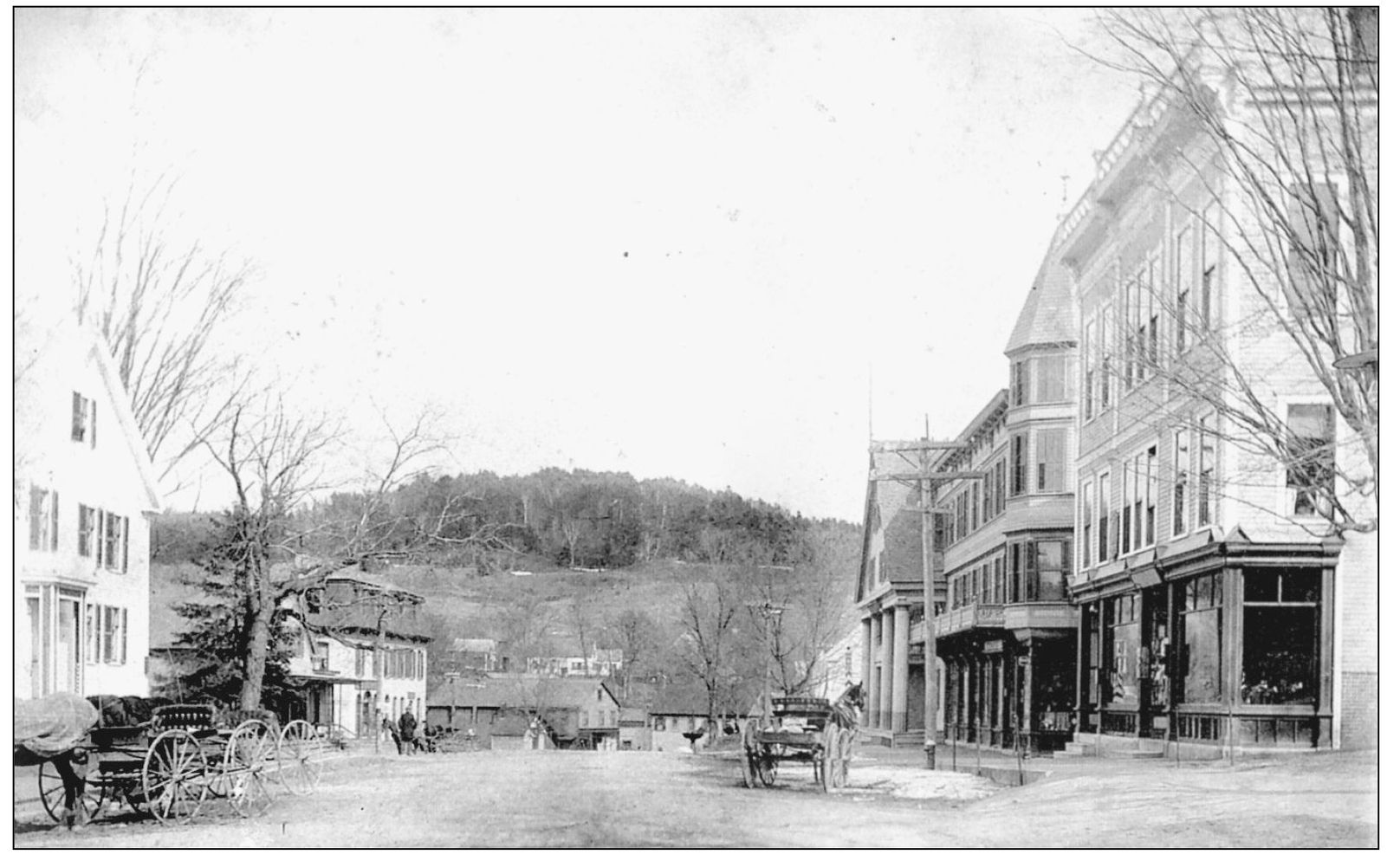
This c. 1900 view of North Main Street in Ashland looks southeast. During the last half of the 19th century, the village experienced a boom of activity. The creation of some of the finest boardinghouses, hotels, and inns, together with well-equipped livery stables for drives around the area, made Ashland a popular stop in the Lakes Region of the Squam Lakes.

