Jil Desimini - Cartographic Grounds: Projecting the Landscape Imaginary
Here you can read online Jil Desimini - Cartographic Grounds: Projecting the Landscape Imaginary full text of the book (entire story) in english for free. Download pdf and epub, get meaning, cover and reviews about this ebook. year: 2016, publisher: Princeton Architectural Press, genre: Home and family. Description of the work, (preface) as well as reviews are available. Best literature library LitArk.com created for fans of good reading and offers a wide selection of genres:
Romance novel
Science fiction
Adventure
Detective
Science
History
Home and family
Prose
Art
Politics
Computer
Non-fiction
Religion
Business
Children
Humor
Choose a favorite category and find really read worthwhile books. Enjoy immersion in the world of imagination, feel the emotions of the characters or learn something new for yourself, make an fascinating discovery.

- Book:Cartographic Grounds: Projecting the Landscape Imaginary
- Author:
- Publisher:Princeton Architectural Press
- Genre:
- Year:2016
- Rating:3 / 5
- Favourites:Add to favourites
- Your mark:
Cartographic Grounds: Projecting the Landscape Imaginary: summary, description and annotation
We offer to read an annotation, description, summary or preface (depends on what the author of the book "Cartographic Grounds: Projecting the Landscape Imaginary" wrote himself). If you haven't found the necessary information about the book — write in the comments, we will try to find it.
Each of the ten chapters focuses on a single cartographic techniquesounding/spot elevation, isobath/contour, hachure/hatch, shaded relief, land classification, figure-ground, stratigraphic column, cross-section, line symbol, conventional signand illustrates it through beautiful maps and plans from notable designers and cartographers throughout history, from Leonardo da Vinci to James Corner Field Operations. Mohsen Mostafavi, dean of the Harvard Graduate School of Design, introduces the book.
Jil Desimini: author's other books
Who wrote Cartographic Grounds: Projecting the Landscape Imaginary? Find out the surname, the name of the author of the book and a list of all author's works by series.

Cartographic Grounds: Projecting the Landscape Imaginary — read online for free the complete book (whole text) full work
Below is the text of the book, divided by pages. System saving the place of the last page read, allows you to conveniently read the book "Cartographic Grounds: Projecting the Landscape Imaginary" online for free, without having to search again every time where you left off. Put a bookmark, and you can go to the page where you finished reading at any time.
Font size:
Interval:
Bookmark:

MOHSEN MOSTAFAVI
The work of an architect or a landscape architect is always situational. We imagine things in the same way a novelist constructs a piece of fiction. But the novel is an end product in its own right, as is a painting or a piece of sculptureall ready for engagement at the moment of completion, to be read, seen, and encountered. In a novel, the concept of action is incorporated into and inseparable from the story being told; in architecture and landscape architecture, however, we design things through a set of drawing conventionsplansthat only later might become buildings or landscapesplaces.
The plan, as a form of drawing, is the description of a site that is to be constructed for a particular form of imagined purposea house, a hospital, a cafe, a park, a plaza. The drawing of each of these places refers at once to a condition of typicality as well as uniqueness. The house perhaps reminds us of other houses and yet is a particular locushomewith its own specific set of qualities and characteristics. The qualities and characteristics of a house are temporal and subjective, attuned to the nuances of inhabitation and use. Yet the architecture of the house may also present a form of autonomy independent of its functional conditions.
Equally, the plan is not produced solely in the service of actualization as building. By using a certain set of conventions, such as scale and method of representation, the plan also makes itself understandable as a projecta drawn idea. We can see thick or thin walls, the size and arrangement of the dining room, as well as the relationship and configuration of spaces.
The house might also exist in relation to a particular topography. The map of this topography will perhaps be an important catalyst for reconciling the architecture of the house with the particularities of a specific location. And maps, like novels, use a certain set of conventions to construct the stories of places and topographies. Changing the scale of a map can reveal or occlude a host of information about a particular area or district.
The cartographic imagination is therefore a specific mode of description of topography. Early maps, like the medieval mappas mundi, based more on fiction than fact, were a way of visualizing a world yet to be charted. Yet they provided the most accurate maps of the time and helped shape European intellectual life for more than three hundred years.
The advancement of technology has brought about the possibility of greater proximity between the real and its representation. There still remains, however, the challenge of translating three-dimensional information into a two-dimensional surface, including the necessity of misrepresentation as a means of getting closer to the perception of the real. What are the tools, conventions, and scales that we should employ in order to tell the story, describe the characteristics of a particular territory, including even the narrative of dynamic change and transformation?
The cartographic imagination is a study of the importance of multiple representationsof seeing and depicting various realities depending on the relevance of the occasion. A particular topography can, for example, be represented by its roads or by its undulating terrain or perhaps by a combination of the two. It all depends on the purpose of the map and the story it is trying to tell.
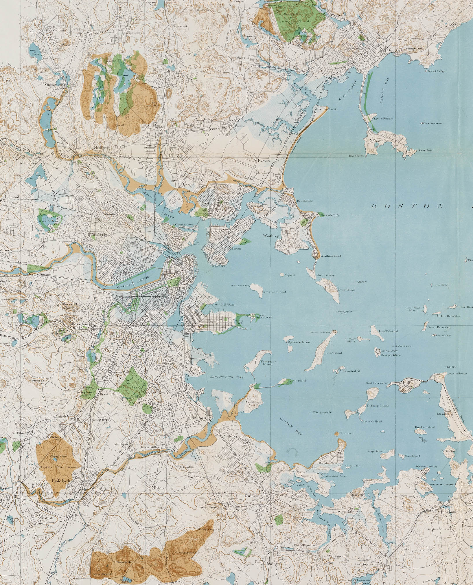
The complexity of representing the world and its surfaceoceans, vegetation, forests, cities, ravines, mountains, paths, hills, villages, and desertsrequires an equally complex set of conventions. A knowledge of these conventions enables us to participate in the world. We carry maps when we walk the countryside, visit a foreign city, and travel the subway. The map is the catalyst for the actualization of the territory.
But the minutiae of cartographic conventions also have the capacity to help us imagine fragments of new landscapes, cities, and houses. Like wordsthe tools of the novelistcartographic conventions can enhance the repertoire of a designer in articulating the space between the plan and its actualization. The understanding and experience of contour lines as a cartographic convention, for example, becomes a necessary tool for designing new landscapes. The interrelationship between depiction and actualization, a key component of the cartographic imagination, is then inseparable from the interrelationship between what is giventopographyand what is yet to comedesign.
The drawing of a parallel between cartography and architecture is instructive. Each lies in the field of the practical arts; each is older than history; and each, since its beginnings, has been more or less under the control of its consumers.
Arthur H. Robinson, The Look of Maps, 1952
Cartographic Grounds revisits the depiction of geographic morphology as grounds of and for design through a series of foundational representational techniques associated with the two-dimensional depiction of three-dimensional conditions. This necessarily involves a historical and conceptual reunion of the plan and the map. In light of the ascendance of mapping and data visualization in design culture in recent decades, and the privileging of abstract forces and flows, Cartographic Grounds reimagines the projective potential of cartographic practices that afford greater proximity to the manifestation and manipulation of the ground itself. The cartographic strategies depicted here offer an instrumental array for describing various conditions: subsurface, temporal, aqueous, and terrestrial. These strategies are organized in a series of ten chapters: sounding/spot elevation, isobath/contour, hachure/hatch, shaded relief, land classification, figure-ground, stratigraphic column, cross section, line symbol, and conventional sign. These ten historical cases are at once analytical and projective, precise yet speculative. Taken together, they form a rich symbolic language capable of describing existing and imagined grounds for the landscape imaginary.
The mapping and visualization of data in design culture has changed the way architects, landscape architects, and urban designers communicate ideas about buildings and landscapes. Projects are supported by the widespread availability of physical and cultural data, and the translation of this data into visual documentation is now a ubiquitous component of the design process. The trajectory of representationof concept and contexthas moved from the material and physical description of the ground toward the depiction of unseen and often immaterial fields, forces, and flows. This has resulted in an important critique of geographical determinism within design culture, privileging, however, the intangible over the material conditions of the site. Between these two schools of thoughtthe purely geographic and the freely abstractis a representational project that merges spatial precision and cultural imagination. Herein lies the projective potential of cartographic practices that afford greater connection with the ground itself, making present and vivid the landscape, as it exists and as it could be, both to the eye and to the mind. The approach aspires to reconcile the precision and instrumentality of the plan with the geographic and territorial scope of the map.
Next pageFont size:
Interval:
Bookmark:
Similar books «Cartographic Grounds: Projecting the Landscape Imaginary»
Look at similar books to Cartographic Grounds: Projecting the Landscape Imaginary. We have selected literature similar in name and meaning in the hope of providing readers with more options to find new, interesting, not yet read works.
Discussion, reviews of the book Cartographic Grounds: Projecting the Landscape Imaginary and just readers' own opinions. Leave your comments, write what you think about the work, its meaning or the main characters. Specify what exactly you liked and what you didn't like, and why you think so.