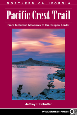
Pacific Crest Trail: Oregon & Washington (From the California Border to the Canadian Border)
1st EDITION 1974
2nd EDITION 1976
3rd EDITION 1979
4th EDITION 1986
5th EDITION 1990
6th EDITION August 2000
7th EDITION October 2004
2nd printing February 2007
Copyright 1974, 1976, 1979, by Jeffrey P. Schaffer and Bev and Fred Hartline
Copyright 1986, 1990, 2000, 2004 by Jeffrey P. Schaffer and Andy Selters
The Pacific Crest Trail is covered in three volumes: Pacific Crest Trail: Southern California (From the Mexican Border to Tuolumne Meadows); Pacific Crest Trail: Northern California (From Tuolumne Meadows to the Oregon Border); Pacific Crest Trail: Oregon & Washington (the Northwest part of the PCT to the Canadian Border).
Front cover photo copyright 2004 by Jeffrey P. Schaffer
Interior photos, except where noted, by Jeffrey P. Schaffer
Maps: Jeffrey P. Schaffer and Kenneth R. Ng
ISBN-13: 978-0-89997-375-3
Manufactured in the United States of America
| Published by | Wilderness Press |
| Keen Communications |
| PO Box 43673 |
| Birmingham, AL 35243 |
| Phone (800) 443-7227; FAX (205) 326-1012 |
| www.wildernesspress.com |
Visit our website for a complete listing of our books and for ordering information.
Distributed by Publishers Group West
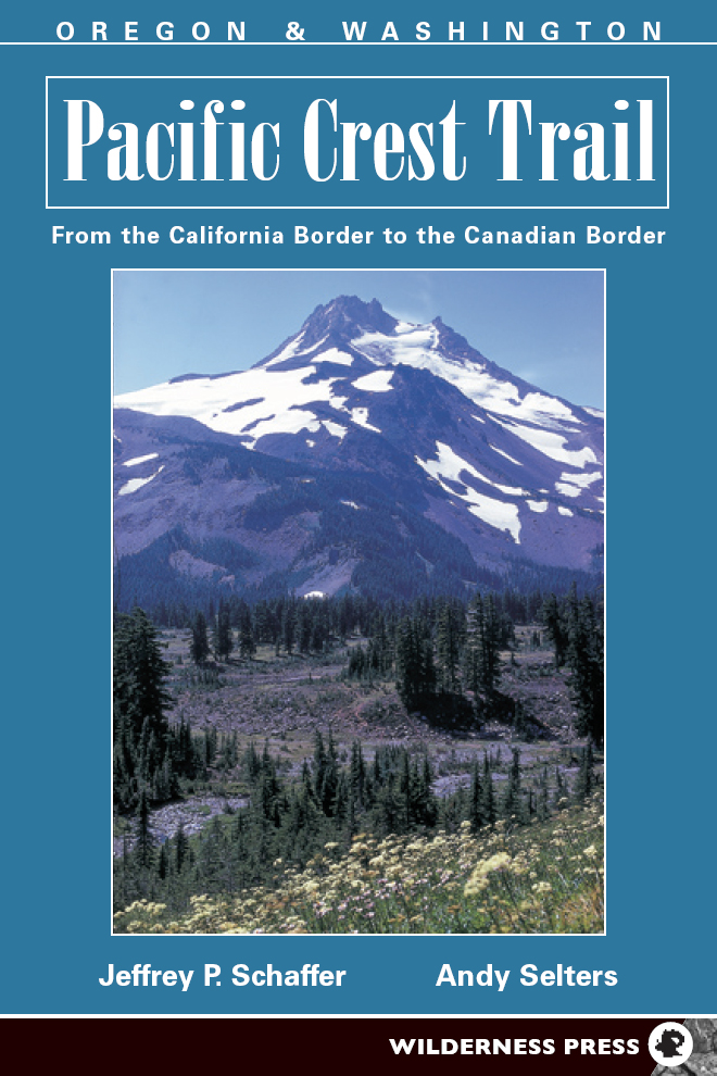
Cover photo: Above Jefferson Park, Mount Jefferson
Frontispiece: Glacier Peak from the north
All rights reserved. No part of this book may be reproduced in any form, or by any means electronic, mechanical, recording, or otherwise, without written permission from the publisher, except for brief quotations used in reviews.
SAFETY NOTICE: Although Wilderness Press and the author have made every attempt to ensure that the information in this book is accurate at press time, they are not responsible for any loss, damage, injury, or inconvenience that may occur to anyone while using this book. You are responsible for your own safety and health while in the wilderness. The fact that a trail is described in this book does not mean that it will be safe for you. Be aware that trail conditions can change from day to day. Always check local conditions and know your own limitations.

Chapter 1: History of the PCT
The first proposal for the creation of a Pacific Crest Trail (PCT) that we have been able to discover is contained in the book Pacific Crest Trails by Joseph T. Hazard (Superior Publishing Co.). He says that in 1926, he was just ending a business interview with a Miss Catherine Montgomery at the Western Washington College of Education in Bellingham when she said,
Do you know what Ive been thinking about, Mr. Hazard, for the last twenty minutes?
Just what have you in mind, Miss Montgomery?
A high trail winding down the heights of our western mountains with mile markers and shelter hutslike those pictures Ill show you of the Long Trail of the Appalachiansfrom the Canadian Border to the Mexican Boundary Line!
To go back six years in time, the Forest Service had by 1920 routed and posted a trail from Mt. Hood to Crater Lake in Oregon, named the Oregon Skyline Trail, and with hindsight we can say that it was the very first link in the PCT.
Hazard says that on that very night, he conveyed Miss Montgomerys suggestion to the Mt. Baker Club of Bellingham, which was enthusiastic about it. He says that soon a number of other mountain clubs and outdoor organizations in the Pacific Northwest adopted the idea and set about promoting it. Then, in 1928, Fred W. Cleator became Supervisor of Recreation for Region 6 (Oregon and Washington) of the U.S. Forest Service. Cleator proclaimed and began to develop the Cascade Crest Trail, a route down the spine of Washington from Canada to the Columbia River. Later, he extended the Oregon Skyline Trail at both ends so that it, too, traversed a whole state. In 1937, Region 6 of the Forest Service developed a design for PCT trail markers and posted them from the Canadian border to the California border.
But the Forest Services Region 5 (California) did not follow his lead, and it remained for a private person to provide the real spark not only for a California segment of the PCT but indeed for the PCT itself. In the early 1930s, the idea of a Pacific Crest Trail entered the mind of Clinton C. Clarke of Pasadena, California, who was then chairman of the Executive Committee of the Mountain League of Los Angeles County. In March 1932, wrote Clarke in The Pacific Crest Trailway , he proposed to the United States Forest and National Park Services the project of a continuous wilderness trail across the United States from Canada to Mexico. The plan was to build a trail along the summit divides of the mountain ranges of these states, traversing the best scenic areas and maintaining an absolute wilderness character.
The proposal included formation of additional Mountain Leagues in Seattle, Portland, and San Francisco by representatives of youth organizations and hiking and mountaineering clubs similar to the one in Los Angeles. These Mountain Leagues would then take the lead in promoting the extension of the John Muir Trail northward and southward to complete a pathway from border to border. When it became evident that more than the Mountain Leagues were needed for such a major undertaking, Clarke took the lead in forming the Pacific Crest Trail System Conference, with representatives from the three Pacific Coast states. He served as its President for 25 years.
As early as January 1935, Clarke published a handbook-guide to the PCT, giving the route in rather sketchy terms (the Trail goes east of Heart Lake, then south across granite fields to the junction of Piute and Evolution creeksthis covers about 9 miles).
In the summer of 1935and again the next three summersgroups of boys under the sponsorship of the YMCA explored the PCT route in relays, proceeding from Mexico on June 15, 1935, to Canada on August 12, 1938. This exploration was under the guidance of a YMCA secretary, Warren L. Rogers, who served as Executive Secretary of the Pacific Crest Trail System Conference (19321957) and who continued his interest in the PCT until his death in 1992.
During World War II, the PCT was generally ignored and its completion remained in a state of limbo until the 1960s, when backpacking began to appeal to large numbers of people. In 1965, the Bureau of Outdoor Recreation, a Federal agency, appointed a commission to make a nationwide trails study. The commission, noting that walking for pleasure was second only to driving for pleasure as the most popular recreation in America, recommended establishing a national system of trails of two kinds: long National Scenic Trails in the hinterlands and shorter National Recreation Trails in and near metropolitan areas. The commission recommended that Congress establish four Scenic Trails: the already existing Appalachian Trail, the partly existing PCT, a Potomac Heritage Trail, and a Continental Divide Trail. Congress responded by passing, in 1968, the National Trails System Act, which set the framework for a system of trails and specifically made the Appalachian Trail and the PCT the first two National Scenic Trails.
Meanwhile, in California, the Forest Service in 1965 had held a series of meetings about a route for the PCT in the state. These meetings involved people from the Forest Service, the Park Service, the State Division of Parks and Beaches, and other government bodies charged with responsibility over areas where the trail might go. These people decided that so much time had elapsed since Clarke had drawn his route that they should essentially start all over. Of course, it was pretty obvious that segments like the John Muir Trail would not be overlooked in choosing a new route through California. By the end of 1965, a proposed route had been drawn onto maps. (We dont say mapped, for that would imply that someone actually had covered the route in the field.)
Next page
