Tim Bryars and Tom Harper
A History of the 20th Century in 100 Maps
THE UNIVERSITY OF CHICAGO PRESS
CHICAGO
Tim Bryars is an antiquarian map and book dealer living in London.
Tom Harper is the British Librarys curator of antiquarian mapping and coauthor of Magnificent Maps: Power, Propaganda and Art, published by the British Library.
The University of Chicago Press, Chicago 60637
The University of Chicago Press, Ltd., London
Text 2014 by Tim Bryars and Tom Harper
Illustrations 2014 by The British Library Board and other named copyright holders
All rights reserved. Published 2014.
Printed in Hong Kong
23 22 21 20 19 18 17 16 15 14 1 2 3 4 5
ISBN-13: 978-0-226-20247-1 (cloth)
ISBN-13: 978-0-226-20250-1 (e-book)
DOI: 10.7208/chicago/9780226202501.001.0001
Library of Congress Cataloging-in-Publication Data
Harper, Tom, 1978 author.
A History of the Twentieth Century in 100 maps / Tom Harper and Tim Bryars.
pages : maps ; cm
Includes bibliographical references and index.
ISBN 978-0-226-20247-1 (cloth : alk. paper) ISBN 978-0-226-20250-1 (e-book)
1. Great BritainHistory20th centuryMaps. 2. Great BritainColoniesHistory20th centuryMaps. 3. CartographyGreat BritainHistory20th century. 4. CartographyHistory20th century. I. Bryars, Tim, author. II. Title. III. Title: History of the Twentieth Century in one hundred maps.
GA793.7.A1H37 2014
912.41dc23
2014010722
 This paper meets the requirements of ANSI/NISO Z39.48-1992 (Permanence of Paper).
Acknowledgments
We would like to thank the following friends and colleagues for their insights and tireless support at every stage of this books creation: Peter Barber, Pinda Bryars, Kenneth Fuller, Ray Mclean, Angus ONeill, Drummond Walter Richards, Peter Stuchlik, Olaf Thuestad and Laurence Worms; Ashley Baynton-Williams, Christopher Board, Jim Caruth, John Davies, Catherine Delano-Smith, Adrian Edwards, Philip Hatfield, Mike Heffernan, Francis Herbert, Elizabeth Van Heyningen, Muneaki Hirano, Crispin Jewitt, John Overeem and Andy Simons.
Our thanks go out to colleagues and associates at the British Library, particularly David Way of British Library Publishing and our editors Robert Davies and Lara Speicher for bringing the book to life; picture editor Sally Nicholls; Chris Lee and the imaging team; designer Maggi Smith; Mick Bucknall, Janet Grover and her team for the retrieving of the thousands of maps used in researching this book; and the staff of the famous Maps Reading Room including Nicola Beech, Gareth Burfoot, Carlos Corbin, Jo Dansie, Carlos Garcia and James Greenaway.
Special thanks are due to Ron Jones, Stan McCaffrey, Miran Norderland, Enid Pepper and Jim Sharp for making maps; and Stephen Humphries and William Wells for using them; to collectors Ronald Griffiths and Winfrid de Munck and to all the collectors, researchers and enthusiasts who help keep mapsespecially paper onesvery much alive.
Finally, we wish to convey personal thanks to Louise Bryan, Paula Bryars, Panagiotis Chantziaras, Geoff Harper and Jonathan Potter for inspiring in us a lifelong love of maps.
Introduction
Maps are children of their times
Delano-Smith and Kain
Reality in our century is not something to be faced
Graham Greene
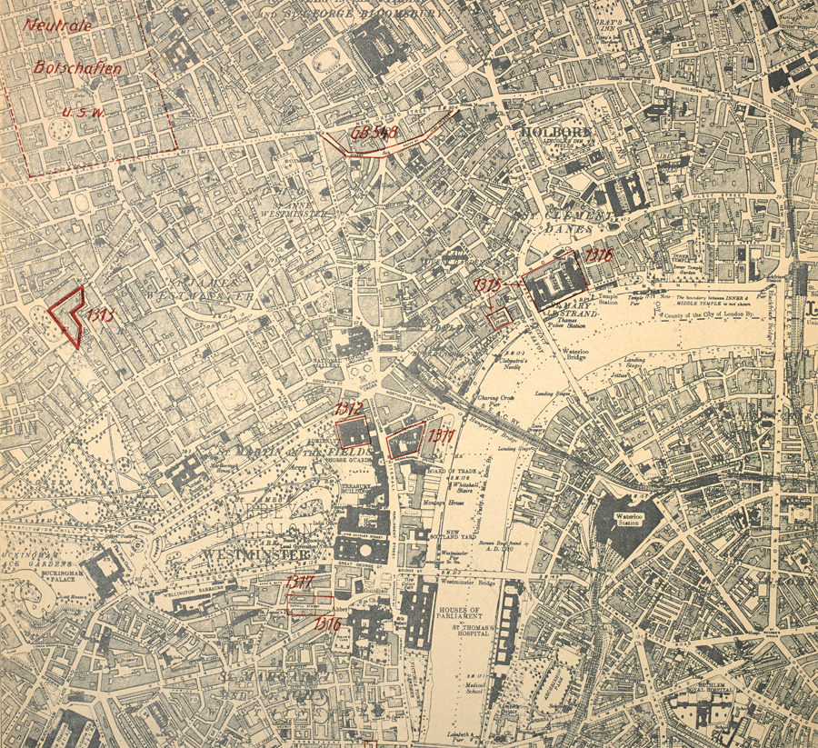
THE TWENTIETH CENTURY was a golden age of map-making, an era of cartographic boom. It was the first period of near-universal map literacy, when maps proliferated and permeated almost every aspect of daily life. It was a century overshadowed by war, yet marked by tremendous social and technological change to which the examples in this book are contemporary witnesses. We have selected one hundred maps from the millions that were printed, drawn or otherwise constructed during the twentieth century; by placing these documents in their original contexts we have created a subjective but wide-ranging narrative of some of the key events and developments of the century.
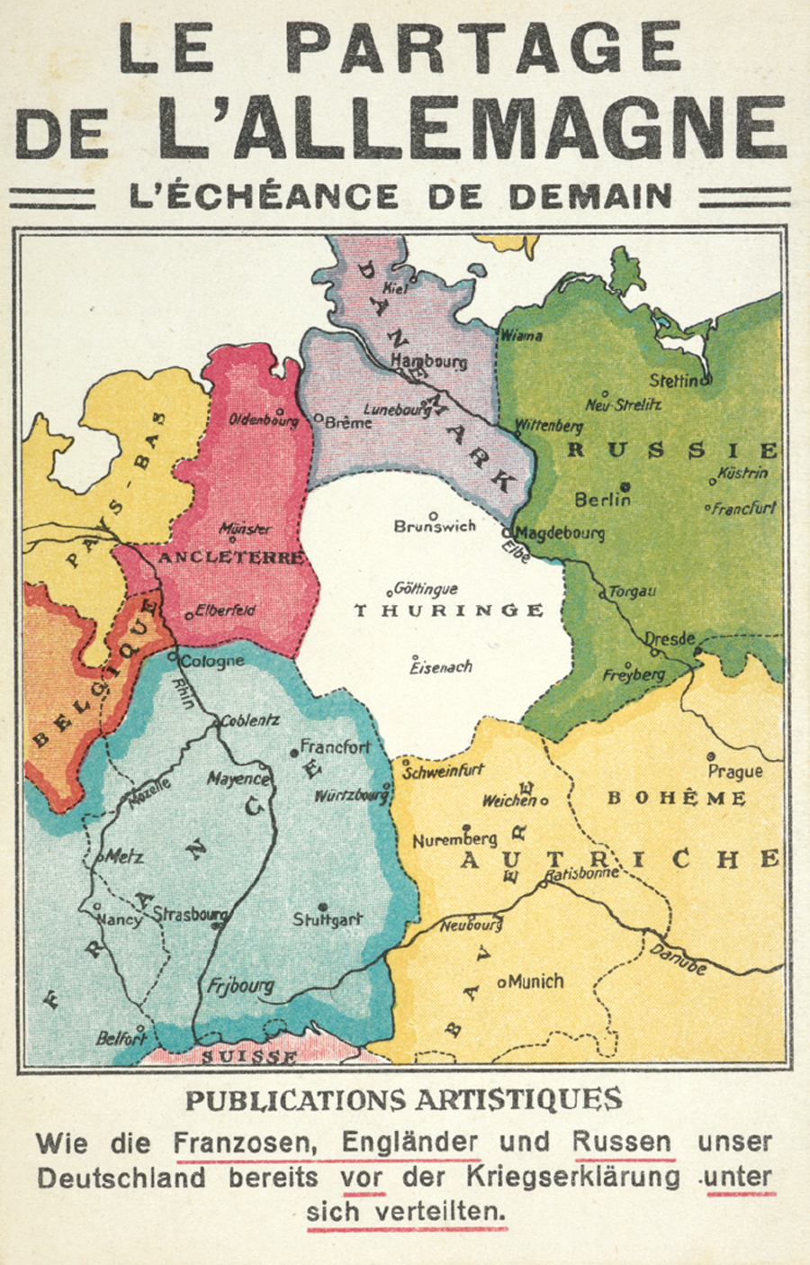
Fig. 1 Le Partage de LAllemagne..., 1917 Private collection
Simplified maps lend themselves to propaganda and postcards for similar reasons: they provide striking, instantly recognisable images, even when reproduced in a small space. This First World War German propaganda postcard combines both elements, and it follows another golden rule of successful propaganda: what the enemy are actually saying about you may be far more inflammatory than anything you can invent. Here the cover of a French book of 1913 is reproduced with little alteration, other than a comment that the partition of Germany was planned by the French, British and Russians even before the outbreak of war. It did not happen in 1918, but it is curiously prescient of 1945.
The rich variety of mapping is one of the themes of this book. On the following pages are maps that were printed on handkerchiefs and on the endpapers of books; maps that were used in advertising or propaganda (), or that illustrated government reports; maps that were strictly official and those that were entirely commercial; maps that were printed by the thousand, and highly specialist maps issued in editions of just a few dozen; maps that were envisaged as permanent keepsakes of major events, and maps that were relevant for a matter of hours or days.
Cultural and social history told through artefacts has been a particular enthusiasm of the past few decades. Maps are ideal narrators because their breadth of coverage enables them to illustrate key events in twentieth-century history, such as the outbreak of the Great War of 191418 and the 1969 moon landing. Their meanings and messages (which are sometimes incidental to their original purpose) shed light on broader social attitudestowards immigration, towards women in the workplace and towards sexuality, for example.
A few maps have already gained recognition for their historical significance. The 1973 map of the world on the equal area projection devised by Arno Peters (see ), have become well-known cartographic superstars, but the majority of maps on these pages have rarely, if ever, been seen in print since they first appeared.
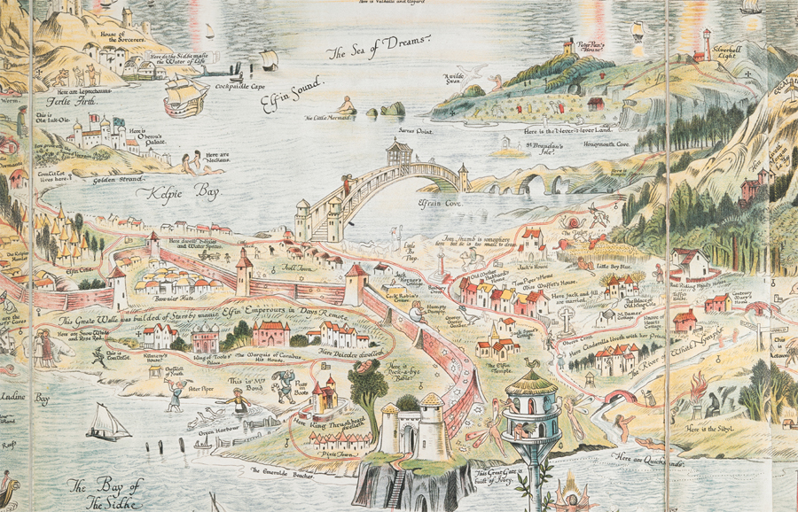
The narrative of the book flows around the idea of a British twentieth century. While the meaning of the term is nuanced and continues to evolve, we have interpreted British in the broadest possible way, culturally and geographically. What emerges is a shared history that encompasses more than just the British Isles. J. R. R. Tolkiens 1954 novel The Lord of the Rings, which has been translated into dozens of languages including Faroese and Arabic, contains fantasy maps that have been pored over by millions worldwide (see ), and the consequences of their decisions have been felt on a global scale, not least by naturalised Britons and their descendants from the former Empire and Commonwealth.
The British view of the worldand the rest of the worlds view of the Britishhas also been shaped by personal as well as political activity, by servicemen on leave in wartime New York, for example (see Although this book contains a view of the twentieth century through British eyes, a similar template would work with any map-making nation and culture.
Next page

 This paper meets the requirements of ANSI/NISO Z39.48-1992 (Permanence of Paper).

