Fortress 47
Fortifications of the Incas
1200 1531
H W & J E Kaufmann Illustrated by Adam Hook
Series editors Marcus Cowper and Nikolai Bogdanovic
Contents
Introduction
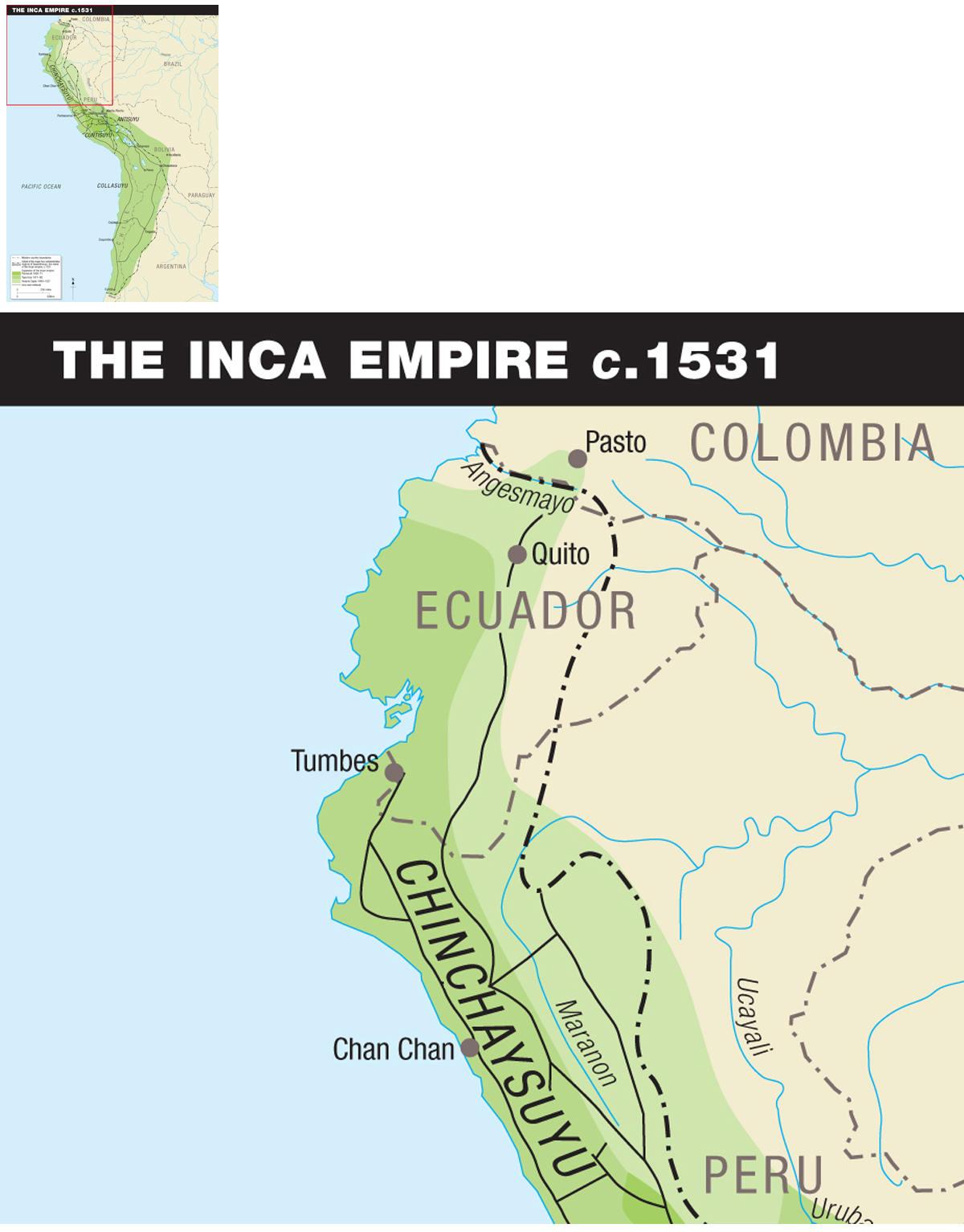
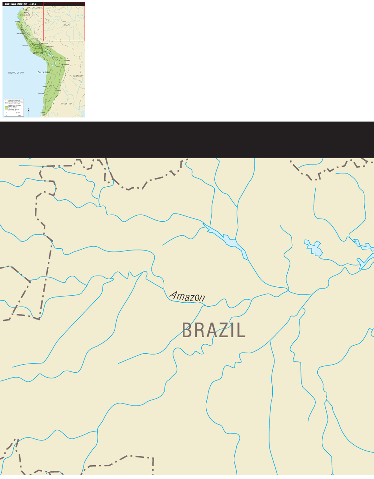
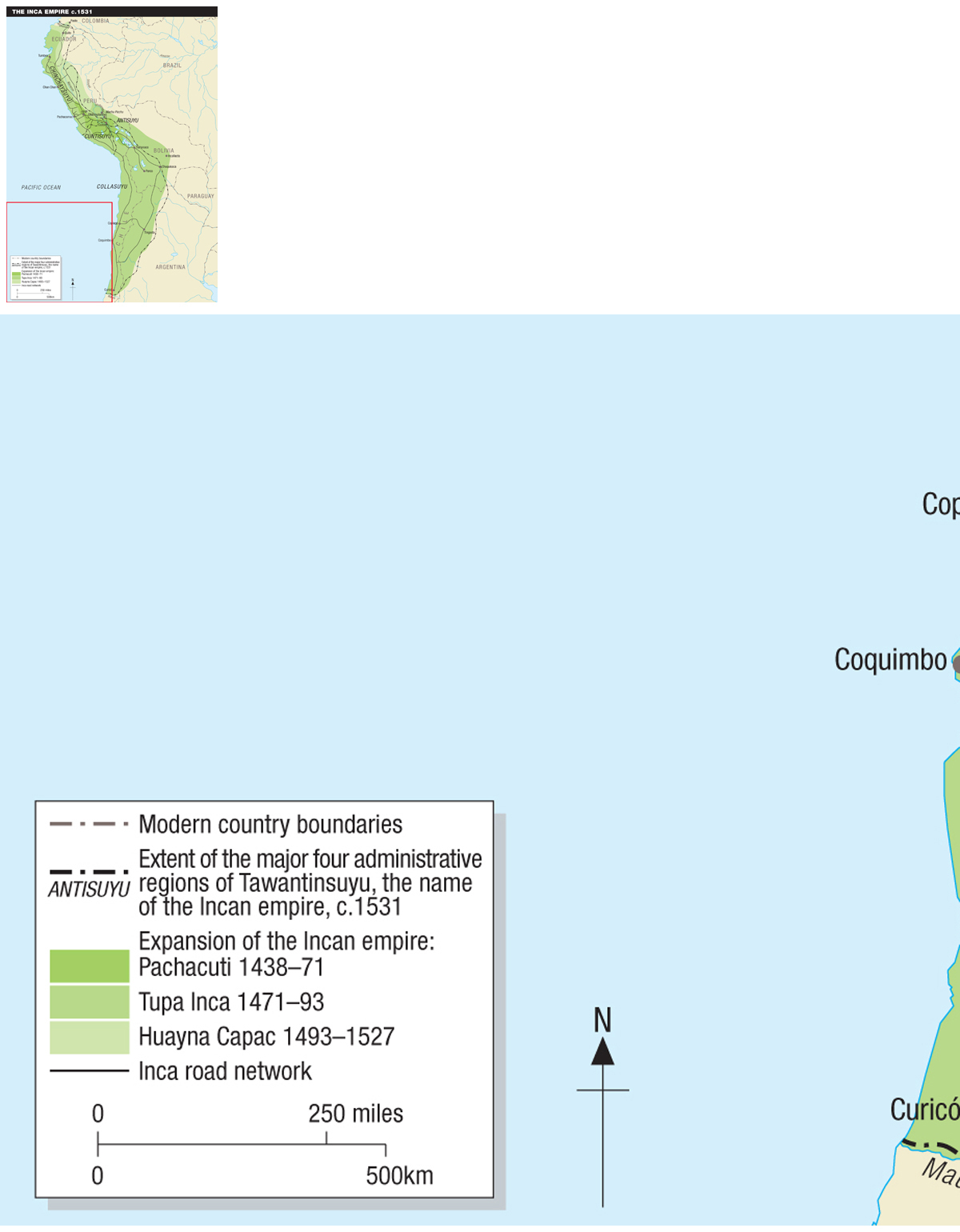
When Francisco Pizarro and his men reached the borders of the Inca Empire in 1531, the Inca dominions had reached their maximum extent after a period of rapid expansion lasting barely 100 years. Extending from the Angesmayo River in what is today Colombia to the Maule River in present-day Chile, the Inca Empire spanned 4,000km, covered 3,000,000km2, included 5,000km of coastline, and numbered some 12 million (and perhaps as many as 32 million) inhabitants. The Incas named their empire Tawantinsuyu, which means the four corners of the world in their language and called their capital Cuzco, which they considered to be the navel of the world.
Tawantinsuyu encompassed three major climatic regions: the arid coastal plain with some of the harshest deserts on the planet, the cordillera of the Andes with high plateaus and mountain peaks reaching elevations of more than 6,600m, and the cloud-forest shrouded Montaa region on the eastern side of the Andes, at the headwaters of the Amazon and some of its tributaries. Elevation plays an important role in this region, creating a multitude of microenvironments that support a wide variety of flora and fauna. Surprisingly, civilization in this part of the world was not born on the lush slopes of the eastern Andes, but along the river valleys that irrigated the arid plains of the Pacific coast.
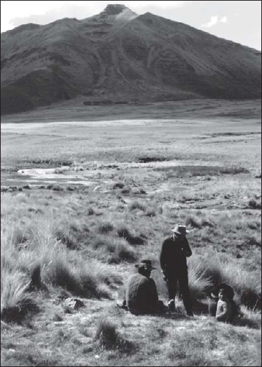
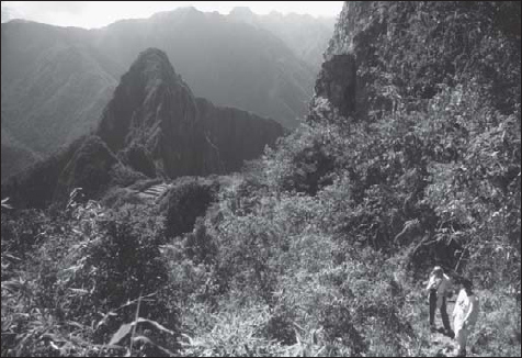
The Andean cordillera landscape. In the Altiplano, rainfall is sparse, and the landscape is dominated by grasses and shrubs, which provide ideal pasture for herds of llamas and alpacas. Water comes from streams fed by run-off from glaciers that blanket the higher mountain peaks. This area is also suitable for the cultivation of high-elevation crops such as potatoes.
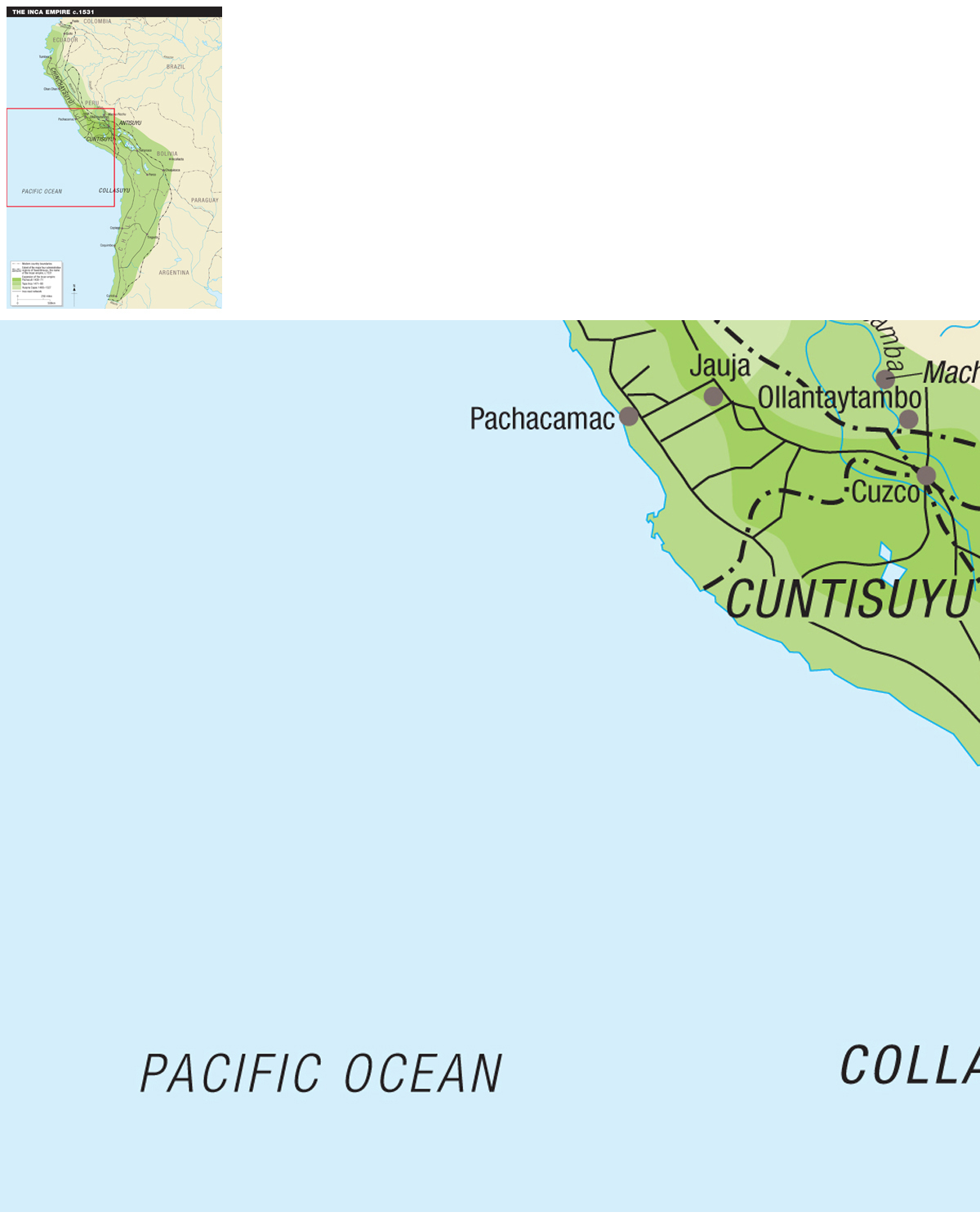
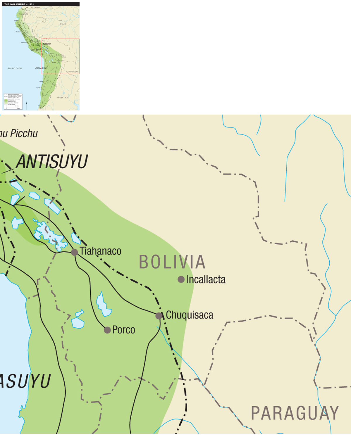
Tawantinsuyu was divided into four major administrative provinces or suyos: the northwestern province of Chinchaysuyu, which extended up to the Angesmayo River, in the vicinity of Pasto, Colombia; the northeastern province of Antisuyu, which encompassed the eastern slopes of the Andes and the steamy jungles of the head waters of the Amazon and its tributaries; the southwestern province of Cuntisuyu, which comprised the coastal region of present-day Peru; and the southeastern province of Collasuyu, which included part of the territory of present-day Bolivia and part of northern Argentina.
The people of this vast empire spoke over 160 distinct languages and dialects belonging to 16 different language groups: Arauan, Arakawan, Aymaran, Cahuapanan, Harakmbet, Jivaroan, Panoan, Peba-Yaguan, Quechuan, Tacanan, Tucanoan, Tupi, Witotoan, Zaparoan, and two unspecified groups. Each language represented a distinct ethnicity and culture. To unify their vast empire, the Incas imposed their own language, Quechua, as the official language. By the time the Spanish conquistadors appeared, however, Quechua had supplanted the local languages only in those areas that had been under Inca control for a very long time.
The cultures of the people subjugated by the Incas were as varied as the rugged landscape that surrounded them. They included city dwellers, farmers, horticulturalists, pastoralists, fishermen, and hunters and gatherers. The slopes of the eastern Andes, by the headwaters of the Amazon and its tributaries, were inhabited by tribes of headhunting horticulturalists who raised typical subtropical crops like manioc, taro, and a variety of tropical fruit, and hunted wild animals and brilliant-feathered birds. The Altiplano (high plains) were occupied by pastoralists who depended on the llama and the alpaca for their livelihood and by some farmers who adopted the crops of their neighbors; the coastal plains were home to farmers and fishermen.
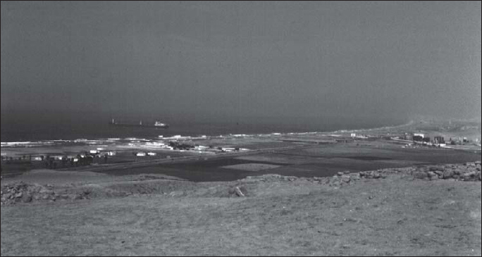
The Pachacamac area is typical coastal plain landscape. The valley and the delta at the mouth of the river are irrigated by water coming from the snowmelt-fed stream. The lush, green fields are bounded by desert sands.
In order to maintain their hold on this vast and diverse empire, the Incas had to develop an efficient administration backed by a formidable military machine. The latter included not only an impressive fighting force, but also a logistical system that relied on roads and fortifications to insure the smooth supply of troops and their deployment.
In the Montaa region, rainfall is abundant and the mountains are shrouded with lush, tropical vegetation. This area provided the Incas with tropical fruits, manioc, coca leaves, and the bright-hued plumage of parrots and other jungle birds.
Chronology
Pre-Inca civilizations
According to the Incas, they were the sole bearers of civilization in South America and they were given the mission of civilizing the four corners of the world by the sun god, Inti. In reality, civilization was born in the lush oases of the arid coastal planes of South America during the third millennium BCE. The oldest known urban and ceremonial center, recently discovered at Caral by Peruvian archaeologist R. Shady-Sols and her team, dates back to circa 2700 BCE. This civilization eventually spread all along the coastal region and the interior, eventually giving way to better-known civilizations like Moche and Chim, on the northern coast, Nazca in the southern coast, Chavn on the Altiplano, and Tiwanaku around lake Titicaca. The little-known civilization of the Chachapoyas flourished to the north of Cuzco, on the mist-shrouded flanks of the eastern Andes. Thus, by the time the Incas started to make their presence known in the Cuzco valley, they were surrounded by formidable kingdoms whose roots went back for thousands of years.
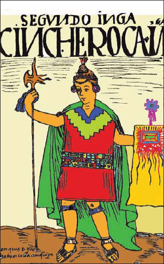
The second Inca, Sinchi Roca, in an engraving by Guamn Poma de Ayala, a 17th-century chronicler of mixed Spanish-Inca ancestry,

