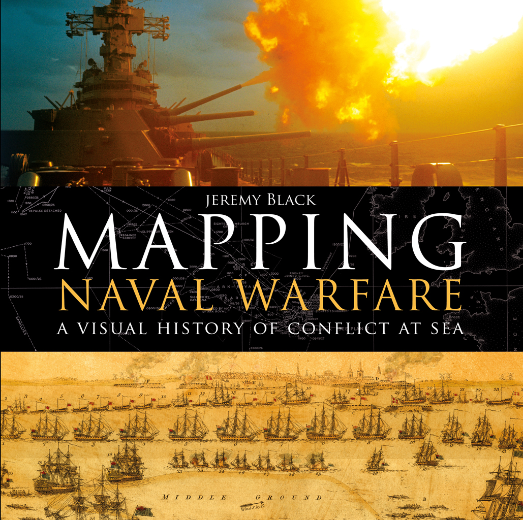
Jeremy Black - Mapping Naval Warfare: A visual history of conflict at sea
Here you can read online Jeremy Black - Mapping Naval Warfare: A visual history of conflict at sea full text of the book (entire story) in english for free. Download pdf and epub, get meaning, cover and reviews about this ebook. year: 2018, publisher: Bloomsbury Publishing, genre: History. Description of the work, (preface) as well as reviews are available. Best literature library LitArk.com created for fans of good reading and offers a wide selection of genres:
Romance novel
Science fiction
Adventure
Detective
Science
History
Home and family
Prose
Art
Politics
Computer
Non-fiction
Religion
Business
Children
Humor
Choose a favorite category and find really read worthwhile books. Enjoy immersion in the world of imagination, feel the emotions of the characters or learn something new for yourself, make an fascinating discovery.

- Book:Mapping Naval Warfare: A visual history of conflict at sea
- Author:
- Publisher:Bloomsbury Publishing
- Genre:
- Year:2018
- Rating:3 / 5
- Favourites:Add to favourites
- Your mark:
Mapping Naval Warfare: A visual history of conflict at sea: summary, description and annotation
We offer to read an annotation, description, summary or preface (depends on what the author of the book "Mapping Naval Warfare: A visual history of conflict at sea" wrote himself). If you haven't found the necessary information about the book — write in the comments, we will try to find it.
Jeremy Black: author's other books
Who wrote Mapping Naval Warfare: A visual history of conflict at sea? Find out the surname, the name of the author of the book and a list of all author's works by series.


Mapping Naval Warfare: A visual history of conflict at sea — read online for free the complete book (whole text) full work
Below is the text of the book, divided by pages. System saving the place of the last page read, allows you to conveniently read the book "Mapping Naval Warfare: A visual history of conflict at sea" online for free, without having to search again every time where you left off. Put a bookmark, and you can go to the page where you finished reading at any time.
Font size:
Interval:
Bookmark:
OSPREY
An imprint of Bloomsbury Publishing Plc
| Osprey Publishing | Bloomsbury Publishing Inc. |
| Bloomsbury Publishing Plc | 1385 Broadway, 5th Floor, |
| PO Box 883, Oxford, | New York, |
| OX1 9PL, UK | NY 10018, USA |
www.ospreypublishing.com
This electronic edition published in 2017 by Bloomsbury Publishing Plc
OSPREY is a trademark of Osprey Publishing Ltd, a division of Bloomsbury Publishing Plc.
First published in Great Britain in 2017
2017 Jeremy Black
All rights reserved
You may not copy, distribute, transmit, reproduce or otherwise make available this publication (or any part of it) in any form, or by any means (including without limitation electronic, digital, optical, mechanical, photocopying, printing, recording or otherwise), without the prior written permission of the publisher. Any person who does any unauthorised act in relation to this publication may be liable to criminal prosecution and civil claims for damages.
Every attempt has been made by the Publisher to secure the appropriate permissions for material reproduced in this book. If there has been any oversight we will be happy to rectify the situation and written submission should be made to the Publisher.
A CIP catalogue record for this book is available from the British Library.
Jeremy Black has asserted his/her right under the Copyright, Designs and Patents Act, 1988, to be identified as the author of this Work.
ISBN: 978-1-4728-2786-9 (HB)
ISBN: 978-1-4728-3137-8 (eBook)
ISBN: 978-1-4728-3138-5 (ePDF)
ISBN: 978-1-4728-2787-6 (XML)
Index by Marie Lorimer
Designed by Nicola Liddiard, Nimbus Design
Osprey Publishing supports the Woodland Trust, the UKs leading woodland conservation charity. Between 2014 and 2018 our donations are being spent on their Centenary Woods project in the UK.
To find out more about our authors and books visit www.ospreypublishing.com. Here you will find our full range of publications, as well as exclusive online content, details of forthcoming events and the option to sign up for our newsletters. You can also sign up for Osprey membership, which entitles you to a discount on purchases made through the Osprey site and access to our extensive online image archive.
Preface
Maps, war and the sea, this book brings together major interests of mine. Both text and maps combine to produce a fascinating account of naval warfare. The general emphasis in discussing naval warfare is on weapon systems and technological change, with change presented as a key enabler of capability. That is particularly important when writers look back from the period of rapid change over the last two centuries, rapid change that made other systems be, or at least appear to be, obsolescent. That account has value for the last two centuries, although perception played a major role in the understanding of effectiveness. Moreover, older ship types could retain value.
More serious, however, is the use of this approach to consider earlier periods and the extent to which, throughout, an emphasis on technology can lead to a serious underrating of other factors, notably organisational, particularly logistics, but also fundamental factors of command, fighting quality and tactics. Motivation, the maritime skill background and the long-lasting naval tradition of a society are also important. The way a society looks at the army and navy may not simply be a matter of the length of its coast or other materialist issues.
A focus on technology and the habit of viewing the past in terms of transformative change have led to a search for military revolutions, and notably so to prefigure those discerned over the last two centuries. In particular, much stress has been devoted to a so-called military revolution in the early-modern period, one indeed presented as lasting from 1500 to 1800. This, however, is not overly helpful. First, the idea of such a long period being described as a revolution is questionable, and certainly for modern history. Secondly, many of the key changes with reference to gunpowder in fact occurred prior to 1500.
Thirdly, for a long time gunpowder weaponry was adapted to existing weapon systems, rather than used to transform them. It provided different and additional firepower but could only work effectively at more than very short range in limited circumstances. The boarding of ships, a practice going back to the start of naval warfare, remained more significant than any emphasis on the ship killing capacity of artillery might suggest. There has been a tendency to read back from conflict over the last century and a half to the earlier situation. Iron/steel ships sink more easily than their earlier wooden counterparts. Even when the artillery was very active and increasingly effective in the time of Horatio Nelson, the British still captured many ships of the line from the French and Spaniards at Trafalgar (1805). Artillery nevertheless could be linked to boarding as a sailing ship that had lost its rigging due to opposing cannon fire was in effect helpless, and thus vulnerable to boarding. Rigging was much easier to damage than the engine in the armoured belly of an iron ship.
The understanding of the use of naval power can also be overly simple. There is a temptation to think only of the gains to be made through the use of this power, namely acquiring resources through violence, and of trade as a power relationship. This tendency is valid, but it should be related to the mutually beneficial nature of trade, as well as to the need for maritime powers to accommodate themselves to the demands and opportunities of land-based economic systems, if they were to be much more than transient plunderers.
The category of transient plunderers, however, was important to naval power in much of the world. The use of ships for plundering, piracy and associated activities such as the seizure of people to sell as slaves remained highly significant. To a considerable extent, this use was stopped by imperial navies in the nineteenth century, notably by Britains dominant Royal Navy, as they sought to guarantee the security of traders, on which the freedom of trade rested, but in parts of the world this instability has revived in recent decades.
The tendency to oversimplify also applies to naval mapping. A stress on change is valuable, but it needs to sit alongside an awareness of crucial continuities and key limitations. They, however, do not prevent what did occur from being fascinating.
It is a great pleasure to dedicate this book to Heiko Werner Henning, a most perceptive commentator on naval warfare, with thanks for repeatedly giving excellent advice.
Acknowledgements
For Heiko Werner Henning
This book brings together two of my central interests, war and cartography. Naval warfare has been a key element in global conflict, and has presented a major topic for mapping. Assessing both this mapping and naval warfare as a whole has been great fun to research and write. I am most grateful to my editor, Lisa Thomas, a great companion in the ways of illustrated books. While thinking about and working on this book, I benefited from the chances to sail the Atlantic, Baltic, Black, Caribbean, Indian and Pacific oceans or seas. I have benefited from the advice of Stuart Long, Wayne Malbon, Albert Nofi and Heiko Werner Henning on earlier drafts. Advice on particular points from Kenneth Swope, Harold Tanner and Arthur der Weduwen has been very useful. The opportunity to teach naval history at Exeter has also been most welcome.
Font size:
Interval:
Bookmark:
Similar books «Mapping Naval Warfare: A visual history of conflict at sea»
Look at similar books to Mapping Naval Warfare: A visual history of conflict at sea. We have selected literature similar in name and meaning in the hope of providing readers with more options to find new, interesting, not yet read works.
Discussion, reviews of the book Mapping Naval Warfare: A visual history of conflict at sea and just readers' own opinions. Leave your comments, write what you think about the work, its meaning or the main characters. Specify what exactly you liked and what you didn't like, and why you think so.